California’s water history during the past two centuries is
fraught with conflicts as agricultural, recreational,
environmental and urban users have fought, and continue to fight,
to secure finite water supplies for their ever-growing needs.
*IMPORTANT* In anticipation of high demand, the Foundation will be allocating tickets via a lottery method with a maximum of 3 entrants per organization. Tickets will be released in batches over time. Details coming soon.
This special, first-ever Foundation water tour will only be offered once! Join us on this special journey as we examine water issues along the Kern River, from its mountain-fed headwaters in the southern Sierra Nevada to its terminus in the Central Valley west of Bakersfield. Among the planned stops are both upper forks of the Kern River, Lake Isabella, lower Kern River canyon, the Friant-Kern Canal, irrigated agriculture in the valley, the Kern Water Bank and more.
Hyatt Place Bakersfield
310 Coffee Rd.
Bakersfield, CA 93309
The 24-page Layperson’s Guide to California Water provides an
excellent overview of the history of water development and use in
California. It includes the latest information on the state’s
changing hydrology, recent water conservation legislation and the
state’s efforts to stretch the available water supplies.
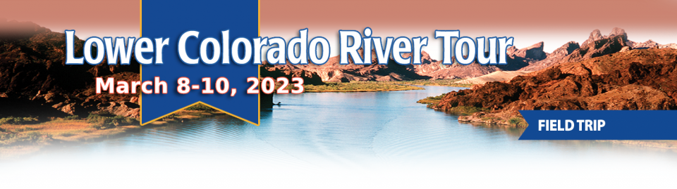
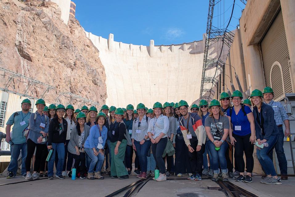
This tour explored the lower Colorado River firsthand where virtually every drop of the river is allocated, yet demand is growing from myriad sources — increasing population, declining habitat, drought and climate change.
The 1,450-mile river is a lifeline to some 40 million people in the Southwest across seven states, 30 tribal nations and Mexico. How the Lower Basin states – Arizona, California and Nevada – use and manage this water to meet agricultural, urban, environmental and industrial needs was the focus of this tour.
Hilton Garden Inn Las Vegas Strip South
7830 S Las Vegas Blvd
Las Vegas, NV 89123
Cities across California and the Southwest are significantly
increasing and diversifying their use of recycled wastewater as
traditional water supplies grow tighter.
The 5th edition of our Layperson’s Guide to Water Recycling
covers the latest trends and statistics on water reuse as a
strategic defense against prolonged drought and climate change.
On this first-ever Foundation water tourwe examined water issues along the 263-mile Klamath River, from its spring-fed headwaters in south-central Oregon to its redwood-lined estuary on the Pacific Ocean in California.
Running Y Resort
5500 Running Y Rd
Klamath Falls, OR 97601
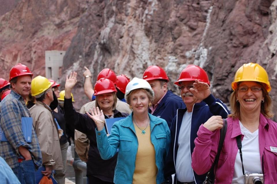
This tour explored the lower Colorado River firsthand where virtually every drop of the river is allocated, yet demand is growing from myriad sources — increasing population, declining habitat, drought and climate change.
The 1,450-mile river is a lifeline to some 40 million people in the Southwest across seven states, 30 tribal nations and Mexico. How the Lower Basin states – Arizona, California and Nevada – use and manage this water to meet agricultural, urban, environmental and industrial needs was the focus of this tour.
Hilton Garden Inn Las Vegas Strip South
7830 S Las Vegas Blvd
Las Vegas, NV 89123
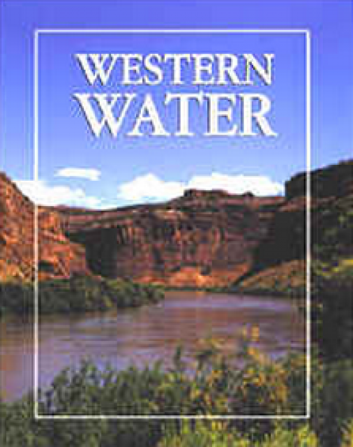
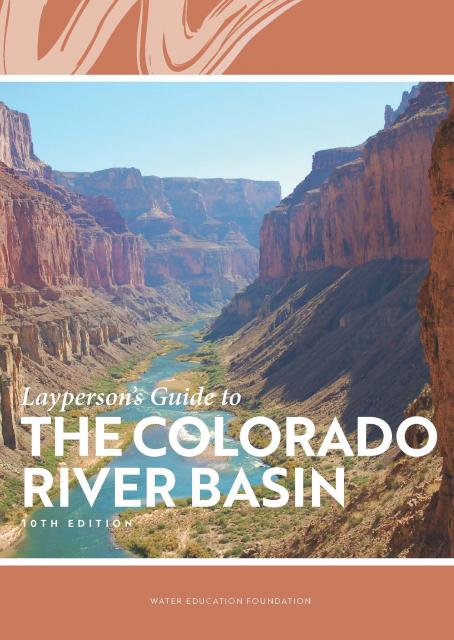
Learn the history and challenges facing the West’s most dramatic
and developed river.
The Layperson’s Guide to the Colorado River Basin introduces the
1,450-mile river that sustains 40 million people and millions of
acres of farmland spanning seven states and parts of northern
Mexico.
The 28-page primer explains how the river’s water is shared and
managed as the Southwest transitions to a hotter and drier
climate.
… In California, just figuring out who holds a water right
requires a trip to a downtown Sacramento storage room crammed
with millions of paper and microfilmed records dating to the
mid-1800s. Even the state’s water rights enforcers struggle to
determine who is using what. … Come next year, however,
the board expects to have all records electronically accessible
to the public. Officials recently started scanning records tied
to an estimated 45,000 water rights into an online database.
They’re also designing a system that will give real-time data
on how much water is being diverted from rivers and streams
across the state. … Proponents say the information
technology upgrade will help the state and water users better
manage droughts, establish robust water trading markets and
ensure water for fish and the environment.
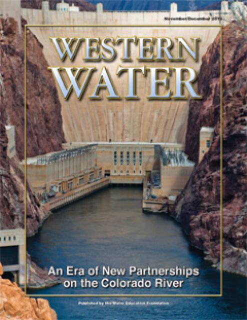
The states of the Lower Colorado
River Basin have traditionally played an oversized role in
tapping the lifeline that supplies 40 million people in the West.
California, Nevada and Arizona were quicker to build major canals
and dams and negotiated a landmark deal that requires the Upper
Basin to send predictable flows through the Grand Canyon, even
during dry years.
But with the federal government threatening unprecedented water
cuts amid decades of drought and declining reservoirs, the Upper
Basin states of Wyoming, Utah, Colorado and New Mexico are
muscling up to protect their shares of an overallocated river
whose average flows in the Upper Basin have already dropped
20 percent over the last century.
They have formed new agencies to better monitor their interests,
moved influential Colorado River veterans into top negotiating
posts and improved their relationships with Native American
tribes that also hold substantial claims to the river.
This tour explored the lower Colorado River firsthand where virtually every drop of the river is allocated, yet demand is growing from myriad sources — increasing population, declining habitat, drought and climate change.
The 1,450-mile river is a lifeline to some 40 million people in the Southwest across seven states, 30 tribal nations and Mexico. How the Lower Basin states – Arizona, California and Nevada – use and manage this water to meet agricultural, urban, environmental and industrial needs was the focus of this tour.
Hilton Garden Inn Las Vegas Strip South
7830 S Las Vegas Blvd
Las Vegas, NV 89123
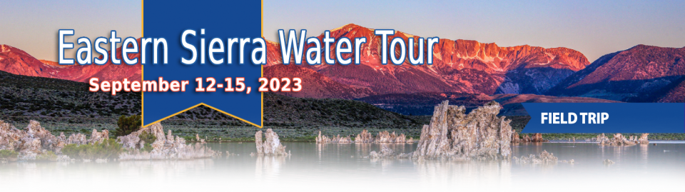
This special Foundation water tour journeyed along the Eastern Sierra from the Truckee River to Mono Lake, through the Owens Valley and into the Mojave Desert to explore a major source of water for Southern California, this year’s snowpack and challenges for towns, farms and the environment.
When the Colorado River Compact was
signed 100 years ago, the negotiators for seven Western states
bet that the river they were dividing would have ample water to
meet everyone’s needs – even those not seated around the table.
A century later, it’s clear the water they bet on is not there.
More than two decades of drought, lake evaporation and overuse of
water have nearly drained the river’s two anchor reservoirs, Lake
Powell on the Arizona-Utah border and Lake Mead near Las Vegas.
Climate change is rendering the basin drier, shrinking spring
runoff that’s vital for river flows, farms, tribes and cities
across the basin – and essential for refilling reservoirs.
The states that endorsed the Colorado River Compact in 1922 – and
the tribes and nation of Mexico that were excluded from the table
– are now straining to find, and perhaps more importantly accept,
solutions on a river that may offer just half of the water that
the Compact assumed would be available. And not only are
solutions not coming easily, the relationships essential for
compromise are getting more frayed.
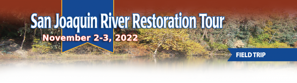
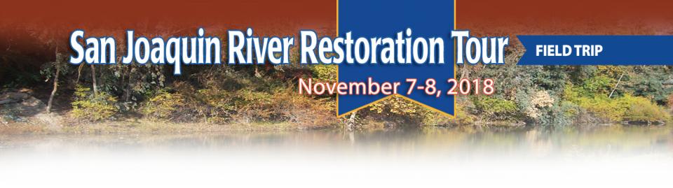
This tour traveled along the San Joaquin River to learn firsthand
about one of the nation’s largest and most expensive river
restoration projects.
The San Joaquin River was the focus of one of the most
contentious legal battles in California water history,
ending in a 2006 settlement between the federal government,
Friant Water Users Authority and a coalition of environmental
groups.
Hampton Inn & Suites Fresno
327 E Fir Ave
Fresno, CA 93720
This tour explored the lower Colorado River firsthand where virtually every drop of the river is allocated, yet demand is growing from myriad sources — increasing population, declining habitat, drought and climate change.
The 1,450-mile river is a lifeline to some 40 million people in the Southwest across seven states, 30 tribal nations and Mexico. How the Lower Basin states – Arizona, California and Nevada – use and manage this water to meet agricultural, urban, environmental and industrial needs was the focus of this tour.
Hyatt Place Las Vegas At Silverton Village
8380 Dean Martin Drive
Las Vegas, NV 89139
We have an unknown distance yet to run, an unknown river to explore. What falls there are, we know not; what rocks beset the channel, we know not; what walls ride over the river, we know not. Ah, well! We may conjecture many things.
~John Wesley Powell
Powell scrawled those words in his journal as he and his expedition paddled their way into the deep walls of the Grand Canyon on a stretch of the Colorado River in August 1869. Three months earlier, the 10-man group had set out on their exploration of the iconic Southwest river by hauling their wooden boats into a major tributary of the Colorado, the Green River in Wyoming, for their trip into the “great unknown,” as Powell described it.
The 1992 election to the United
States Senate was famously coined the “Year of the Woman” for the
record number of women elected to the upper chamber.
In the water world, 2018 has been a similar banner year, with
noteworthy appointments of women to top leadership posts in
California — Karla Nemeth at the California Department of Water
Resources and Gloria Gray at the Metropolitan Water District of
Southern California.
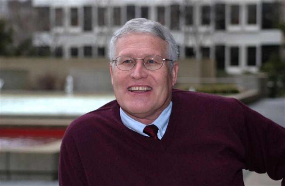
In the universe of California water, Tim Quinn is a professor emeritus. Quinn has seen — and been a key player in — a lot of major California water issues since he began his water career 40 years ago as a young economist with the Rand Corporation, then later as deputy general manager with the Metropolitan Water District of Southern California, and finally as executive director of the Association of California Water Agencies. In December, the 66-year-old will retire from ACWA.
In 1983, a landmark California Supreme Court ruling extended the public trust doctrine to tributary creeks that feed Mono Lake, which is a navigable water body even though the creeks themselves were not. The ruling marked a dramatic shift in water law and forced Los Angeles to cut back its take of water from those creeks in the Eastern Sierra to preserve the lake.
Now, a state appellate court has for the first time extended that same public trust doctrine to groundwater that feeds a navigable river, in this case the Scott River flowing through a picturesque valley of farms and alfalfa in Siskiyou County in the northern reaches of California.
Nowhere is the domino effect in
Western water policy played out more than on the Colorado River,
and specifically when it involves the Lower Basin states of
California, Nevada and Arizona. We are seeing that play out now
as the three states strive to forge a Drought Contingency Plan.
Yet that plan can’t be finalized until Arizona finds a unifying
voice between its major water players, an effort you can read
more about in the latest in-depth article of Western Water.
Even then, there are some issues to resolve just within
California.
Lake
Tahoe, the iconic high Sierra water body that straddles
California and Nevada, has sat for more than 10,000 years at the
heart of the Washoe tribe’s territory. In fact, the name Tahoe
came from the tribal word dá’aw, meaning lake.
The lake’s English name was the source of debate for about 100
years after it was first “discovered” in 1844 by people of
European descent when Gen. John C. Fremont’s expedition made its
way into the region. Not long after, a man who carried mail on
snowshoes from Placerville to Nevada City named it Lake Bigler in
honor of John Bigler, who served as California’s third governor.
But because Bigler was an ardent secessionist, the federal
Interior Department during the Civil War introduced the name
Tahoe in 1862. Meanwhile, California kept it as Lake Bigler and
didn’t officially recognize the name as Lake Tahoe until 1945.
We explored the lower Colorado River where virtually every drop
of the river is allocated, yet demand is growing from myriad
sources — increasing population, declining habitat, drought and
climate change.
The 1,450-mile river is a lifeline to 40 million people in
the Southwest across seven states and Mexico. How the Lower Basin
states – Arizona, California and Nevada – use and manage this
water to meet agricultural, urban, environmental and industrial
needs was the focus of this tour.
Hampton Inn Tropicana
4975 Dean Martin Drive, Las Vegas, NV 89118
Along the banks of the
Sacramento-San Joaquin Delta in Oakley, about 50 miles southwest
of Sacramento, is a park that harkens back to the days when the
Delta lured Native Americans, Spanish explorers, French fur
trappers, and later farmers to its abundant wildlife and rich
soil.
That historical Delta was an enormous marsh linked to the two
freshwater rivers entering from the north and south, and tidal
flows coming from the San Francisco Bay. After the Gold Rush,
settlers began building levees and farms, changing the landscape
and altering the habitat.
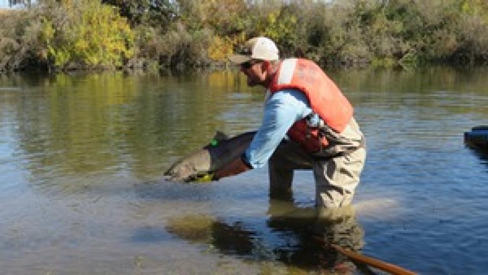
Participants of this tour snaked along the San Joaquin River to
learn firsthand about one of the nation’s largest and most
expensive river restoration projects.
The San Joaquin River was the focus of one of the most
contentious legal battles in California water history,
ending in a 2006 settlement between the federal government,
Friant Water Users Authority and a coalition of environmental
groups.
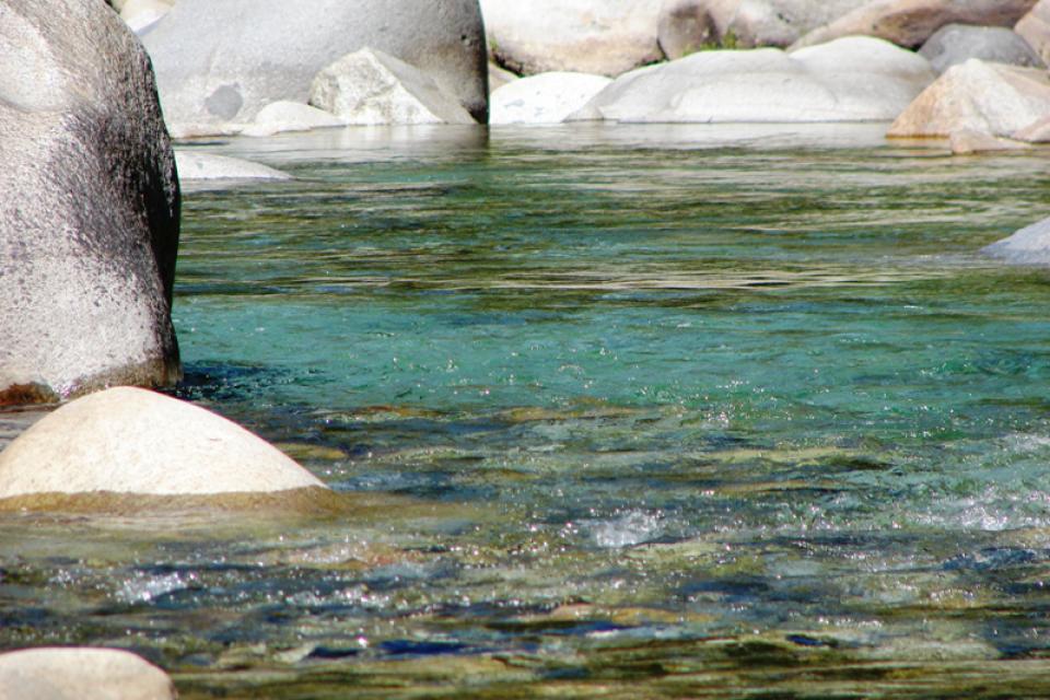
The American River originates high
in the Sierra Nevada just west of Lake Tahoe, in the Tahoe and
Eldorado national forests.
The birthplace of the California Gold Rush, the river today is a
prime recreational destination and a major water supply source
for the federal Central Valley Project.
A written transcript of a 1992 interview with six major figures
in the early development of California water whose work ranged
from Shasta Dam to the Imperial Valley as they shaped the state’s
water story beginning in the 1920s.
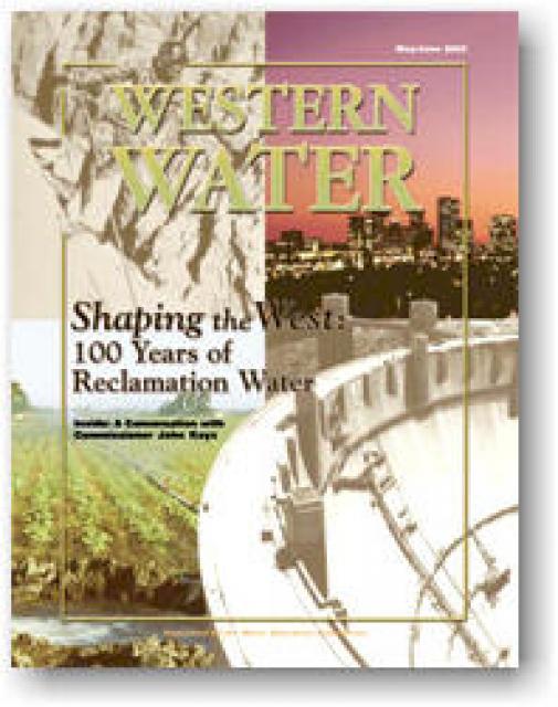
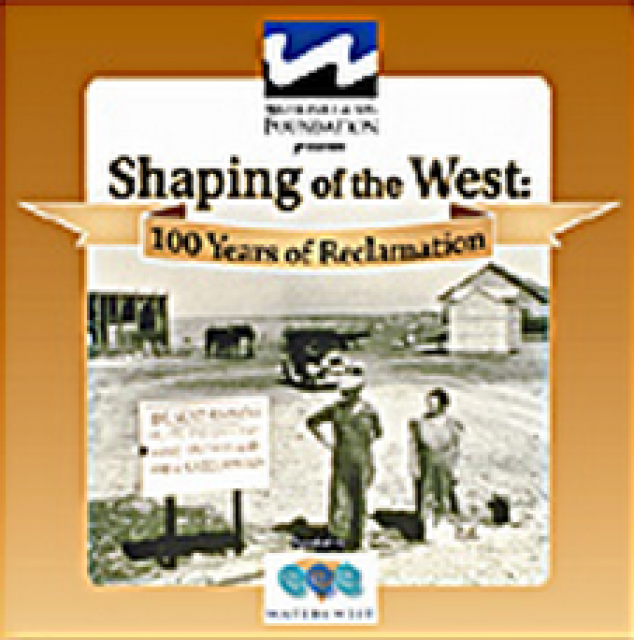
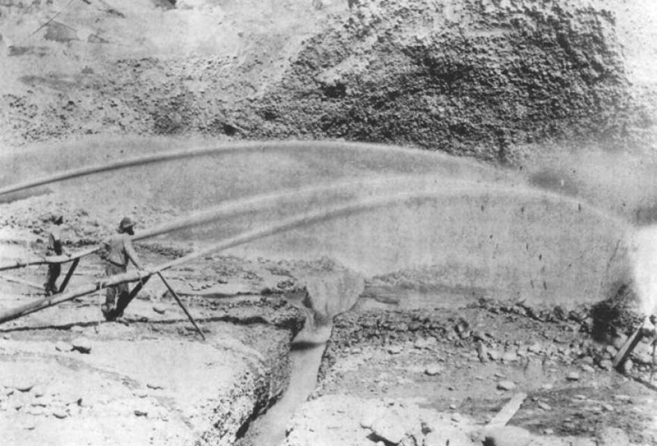
The Reclamation Act of 1902, which could arguably be described as
a progression of the credo, Manifest Destiny, transformed the
West. This issue of Western Water provides a glimpse of the past
100 years of the Reclamation Act, from the early visionaries who
sought to turn the arid West into productive farmland, to the
modern day task of providing a limited amount of water to homes,
farms and the environment. Included are discussions of various
Bureau projects and what the next century may bring in terms of
challenges and success.
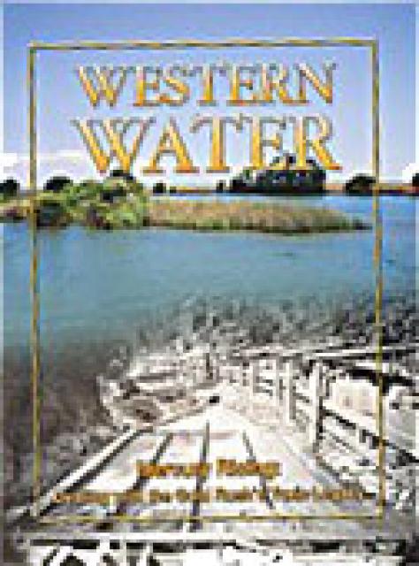
This issue of Western Water examines the presence of mercury in
the environment and the challenge of limiting the threat posed to
human health and wildlife. In addition to outlining the extent of
the problem and its resistance to conventional pollution
remedies, the article presents a glimpse of some possible courses
of action for what promises to be a long-term problem.
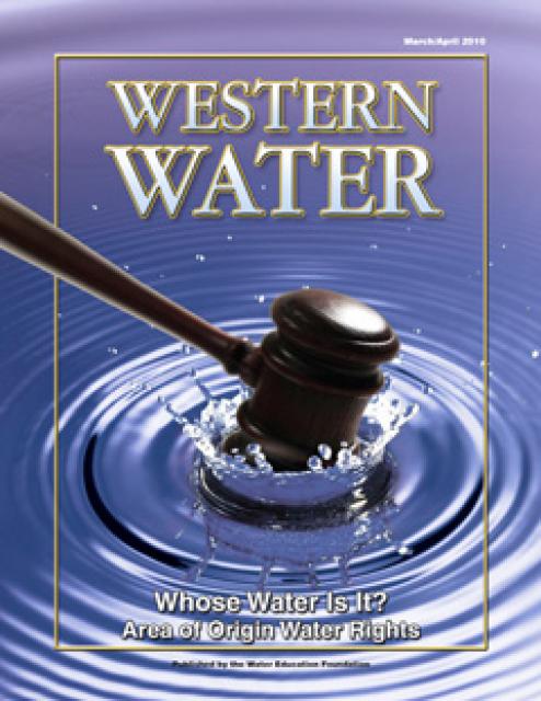
This printed issue of Western Water examines the area
of origin laws, what they mean to those who claim their
protections and the possible implications of the Tehama Colusa
Canal Authority’s lawsuit against the Bureau of Reclamation.
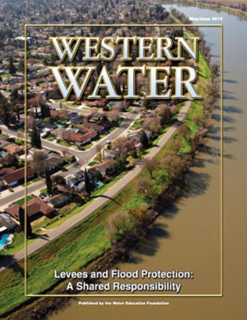
This printed issue of Western Water discusses several
flood-related issues, including the proposed Central Valley Flood
Protection Plan, the FEMA remapping process and the dispute
between the state and the Corps regarding the levee vegetation
policy.
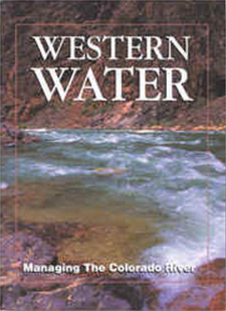
This printed issue of Western Water examines how the various
stakeholders have begun working together to meet the planning
challenges for the Colorado River Basin, including agreements
with Mexico, increased use of conservation and water marketing,
and the goal of accomplishing binational environmental
restoration and water-sharing programs.
This issue updates progress on crafting and implementing
California’s 4.4 plan to reduce its use of Colorado River water
by 800,000 acre-feet. The state has used as much as 5.2 million
acre-feet of Colorado River water annually, but under pressure
from Interior Secretary Bruce Babbitt and the other six states
that share this resource, California’s Colorado River parties
have been trying to close the gap between demand and supply.
Drawn from a special stakeholder symposium held in September 1999
in Keystone, Colorado, this issue explores how we got to where we
are today on the Colorado River; an era in which the traditional
water development of the past has given way to a more
collaborative approach that tries to protect the environment
while stretching available water supplies.
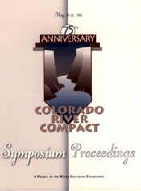
In 1997, the Foundation sponsored a three-day, invitation-only
symposium at Bishop’s Lodge, New Mexico, site of the 1922
Colorado River Compact signing, to discuss the historical
implications of that agreement, current Colorado River issues and
future challenges. The 204-page proceedings features the panel
discussions and presentations on such issues as the Law of the
River, water marketing and environmental restoration.
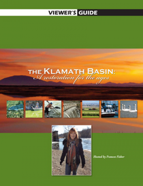
20-minute version of the 2012 documentary The Klamath Basin: A
Restoration for the Ages. This DVD is ideal for showing at
community forums and speaking engagements to help the public
understand the complex issues related to complex water management
disputes in the Klamath River Basin. Narrated by actress Frances
Fisher.
For over a century, the Klamath River Basin along the Oregon and
California border has faced complex water management disputes. As
relayed in this 2012, 60-minute public television documentary
narrated by actress Frances Fisher, the water interests range
from the Tribes near the river, to energy producer PacifiCorp,
farmers, municipalities, commercial fishermen, environmentalists
– all bearing legitimate arguments for how to manage the water.
After years of fighting, a groundbreaking compromise may soon
settle the battles with two epic agreements that hold the promise
of peace and fish for the watershed. View an excerpt from the
documentary here.
This 30-minute documentary-style DVD on the history and current
state of the San Joaquin River Restoration Program includes an
overview of the geography and history of the river, historical
and current water delivery and uses, the genesis and timeline of
the 1988 lawsuit, how the settlement was reached and what was
agreed to.
This 25-minute documentary-style DVD, developed in partnership
with the California Department of Water Resources, provides an
excellent overview of climate change and how it is already
affecting California. The DVD also explains what scientists
anticipate in the future related to sea level rise and
precipitation/runoff changes and explores the efforts that are
underway to plan and adapt to climate.
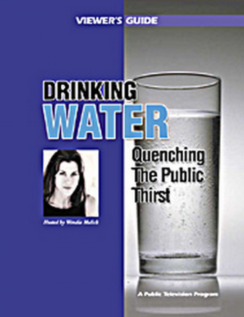
Many Californians don’t realize that when they turn on the
faucet, the water that flows out could come from a source close
to home or one hundreds of miles away. Most people take their
water for granted; not thinking about the elaborate systems and
testing that go into delivering clean, plentiful water to
households throughout the state. Where drinking water comes from,
how it’s treated, and what people can do to protect its quality
are highlighted in this 2007 PBS documentary narrated by actress
Wendie Malick.
A 30-minute version of the 2007 PBS documentary Drinking Water:
Quenching the Public Thirst. This DVD is ideal for showing at
community forums and speaking engagements to help the public
understand the complex issues surrounding the elaborate systems
and testing that go into delivering clean, plentiful water to
households throughout the state.
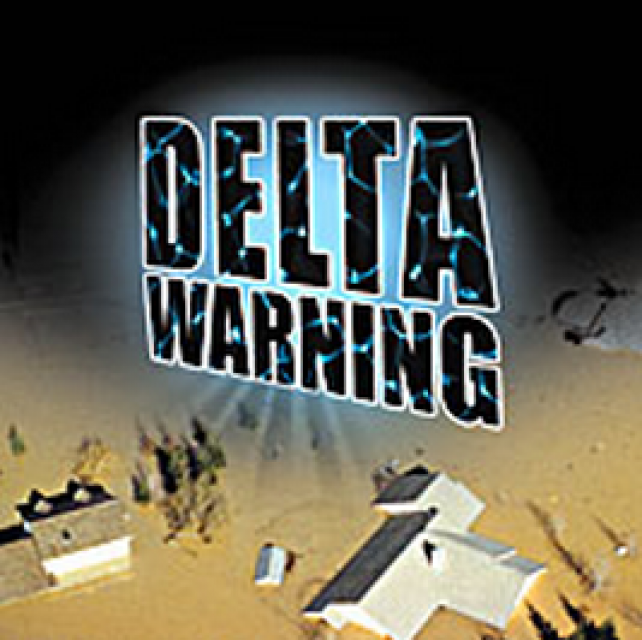
15-minute DVD that graphically portrays the potential disaster
should a major earthquake hit the Sacramento-San Joaquin Delta.
“Delta Warning” depicts what would happen in the event of an
earthquake registering 6.5 on the Richter scale: 30 levee breaks,
16 flooded islands and a 300 billion gallon intrusion of salt
water from the Bay – the “big gulp” – which would shut down the
State Water Project and Central Valley Project pumping plants.
30-minute DVD that traces the history of the U.S. Bureau of
Reclamation and its role in the development of the West. Includes
extensive historic footage of farming and the construction of
dams and other water projects, and discusses historic and modern
day issues.
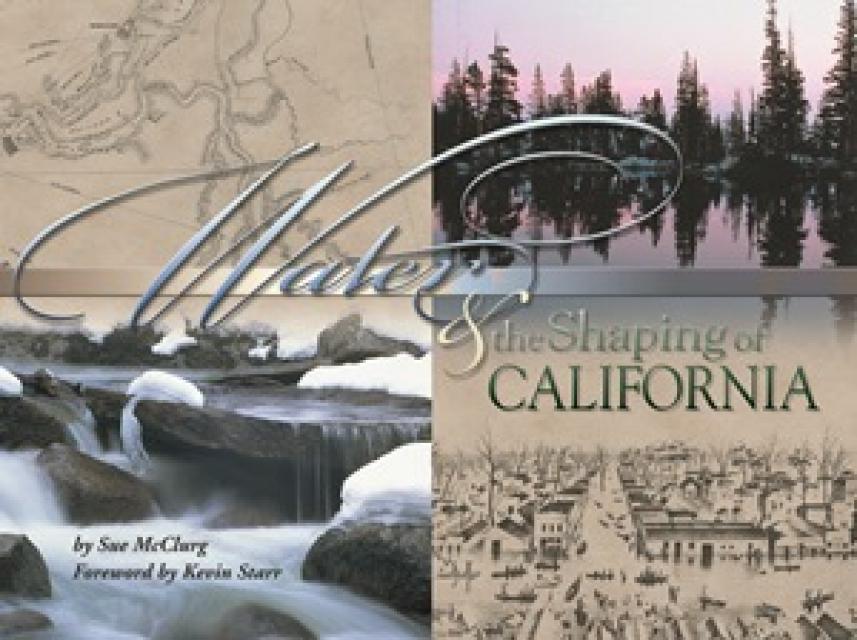
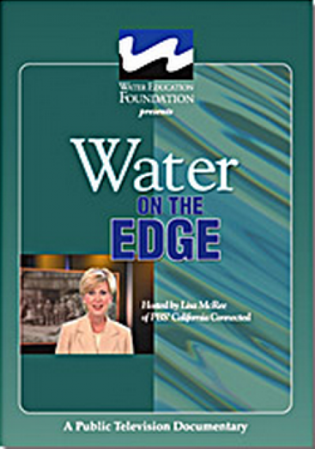
Water truly has shaped California into the great state it is
today. And if it is water that made California great, it’s the
fight over – and with – water that also makes it so critically
important. In efforts to remap California’s circulatory system,
there have been some critical events that had a profound impact
on California’s water history. These turning points not only
forced a re-evaluation of water, but continue to impact the lives
of every Californian. This 2005 PBS documentary offers a
historical and current look at the major water issues that shaped
the state we know today. Includes a 12-page viewer’s guide with
background information, historic timeline and a teacher’s lesson.
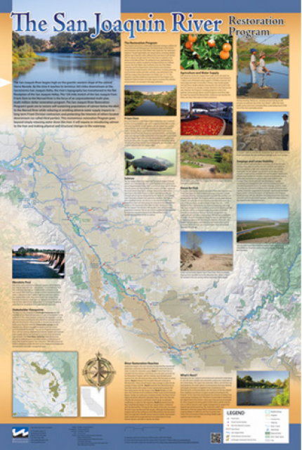
This beautiful 24×36 inch poster, suitable for framing, features
a map of the San Joaquin River. The map text focuses on the San
Joaquin River Restoration Program, which aims to restore flows
and populations of Chinook salmon to the river below Friant Dam
to its confluence with the Merced River. The text discusses the
history of the program, its goals and ongoing challenges with
implementation.
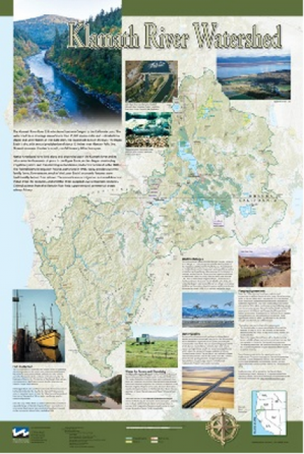
This beautiful 24×36-inch poster, suitable for framing, displays
the rivers, lakes and reservoirs, irrigated farmland, urban areas
and Indian reservations within the Klamath River Watershed. The
map text explains the many issues facing this vast,
15,000-square-mile watershed, including fish restoration;
agricultural water use; and wetlands. Also included are
descriptions of the separate, but linked, Klamath Basin
Restoration Agreement and the Klamath Hydroelectric Agreement,
and the next steps associated with those agreements. Development
of the map was funded by a grant from the U.S. Fish and Wildlife
Service.
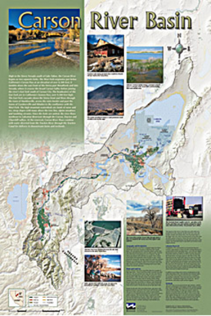
A companion to the Truckee River Basin Map poster, this
24×36-inch poster, suitable for framing, explores the Carson
River, and its link to the Truckee River. The map includes the
Lahontan Dam and reservoir, the Carson Sink, and the farming
areas in the basin. Map text discusses the region’s hydrology and
geography, the Newlands Project, land and water use within the
basin and wetlands. Development of the map was funded by a grant
from the U.S. Bureau of Reclamation Mid-Pacific Region, Lahontan
Basin Area Office.
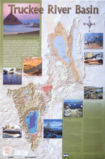
This beautiful 24×36-inch poster, suitable for framing, displays
the rivers, lakes and reservoirs, irrigated farmland, urban areas
and Indian reservations within the Truckee River Basin, including
the Newlands Project, Pyramid Lake and Lake Tahoe. Map text
explains the issues surrounding the use of the Truckee-Carson
rivers, Lake Tahoe water quality improvement efforts, fishery
restoration and the effort to reach compromise solutions to many
of these issues.
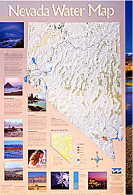
This 24×36 inch poster, suitable for framing, illustrates the
water resources available for Nevada cities, agriculture and the
environment. It features natural and manmade water resources
throughout the state, including the Truckee and Carson rivers,
Lake Tahoe, Pyramid Lake and the course of the Colorado River
that forms the state’s eastern boundary.
Redesigned in 2017, this beautiful map depicts the seven
Western states that share the Colorado River with Mexico. The
Colorado River supplies water to nearly 40 million people in
Arizona, California, Colorado, Nevada, New Mexico, Utah, Wyoming
and Mexico. Text on this beautiful, 24×36-inch map, which is
suitable for framing, explains the river’s apportionment, history
and the need to adapt its management for urban growth and
expected climate change impacts.
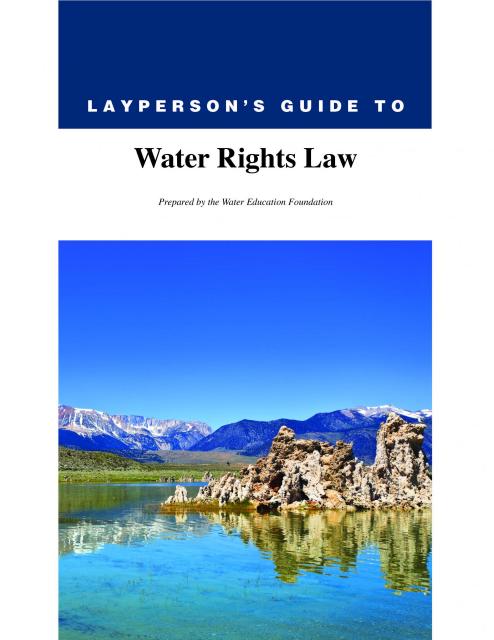
The 28-page Layperson’s Guide to Water Rights Law, recognized as
the most thorough explanation of California water rights law
available to non-lawyers, traces the authority for water flowing
in a stream or reservoir, from a faucet or into an irrigation
ditch through the complex web of California water rights.
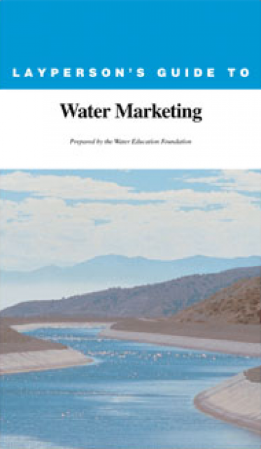
The 20-page Layperson’s Guide to Water Marketing provides
background information on water rights, types of transfers and
critical policy issues surrounding this topic. First published in
1996, the 2005 version offers expanded information on
groundwater banking and conjunctive use, Colorado River
transfers and the role of private companies in California’s
developing water market.
Order in bulk (25 or more copies of the same guide) for a reduced
fee. Contact the Foundation, 916-444-6240, for details.
The 24-page Layperson’s Guide to the State Water Project provides
an overview of the California-funded and constructed State Water
Project.
The State Water Project is best known for the 444-mile-long
aqueduct that provides water from the Delta to San Joaquin Valley
agriculture and southern California cities. The guide contains
information about the project’s history and facilities.
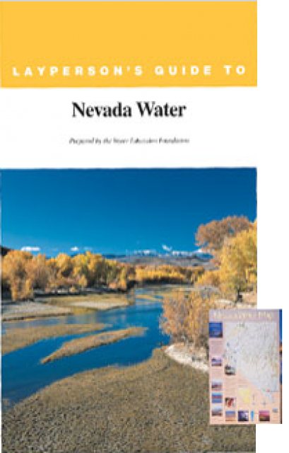
The 28-page Layperson’s Guide to Nevada Water provides an
overview of the history of water development and use in Nevada.
It includes sections on Nevada’s water rights laws, the history
of the Truckee and Carson rivers, water supplies for the Las
Vegas area, groundwater, water quality, environmental issues and
today’s water supply challenges.
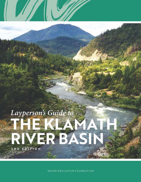
The Water Education Foundation’s second edition of
the Layperson’s Guide to The Klamath River Basin is
hot off the press and available for purchase.
Updated and redesigned, the easy-to-read overview covers the
history of the region’s tribal, agricultural and environmental
relationships with one of the West’s largest rivers — and a
vast watershed that hosts one of the nation’s oldest and
largest reclamation projects.
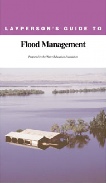
The 24-page Layperson’s Guide to Flood Management explains the
physical flood control system, including levees; discusses
previous flood events (including the 1997 flooding); explores
issues of floodplain management and development; provides an
overview of flood forecasting; and outlines ongoing flood control
projects.
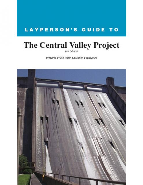
The 24-page Layperson’s Guide to the Central Valley Project
explores the history and development of the federal Central
Valley Project (CVP), California’s largest surface water delivery
system. In addition to the project’s history, the guide describes
the various facilities, operations and benefits the water
project brings to the state along with the CVP
Improvement Act (CVPIA).
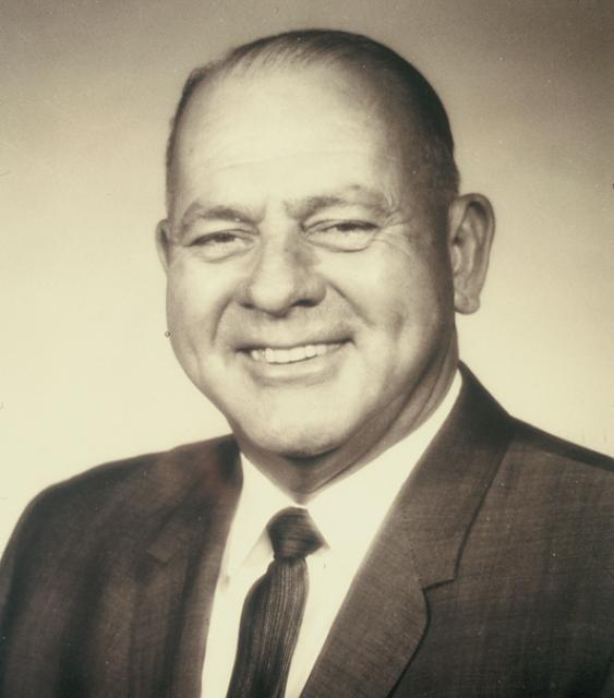
In the Northern California community of Redding, he was a justice
of peace, a renowned water rights attorney in the law firm of
Carr and Kennedy and helped form the Anderson-Cottonwood
Irrigation District. He was often in the nation’s Capitol in
Washington, D.C., advocating for funds from Congress to get this
visionary project built for the benefit of all of California. In
his honor, the Judge Francis Carr Powerplant was named after him.
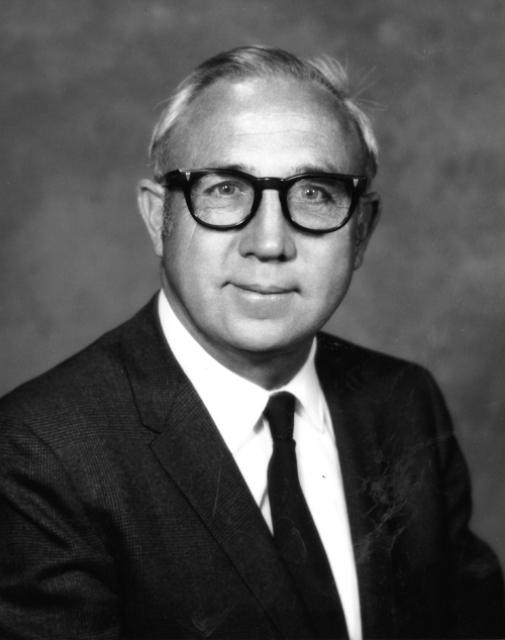
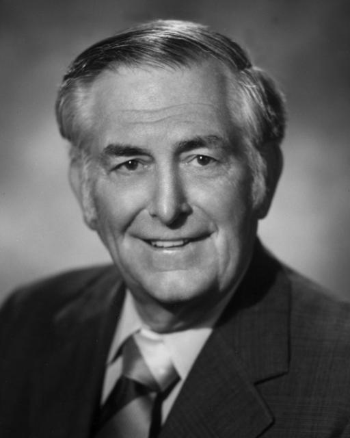
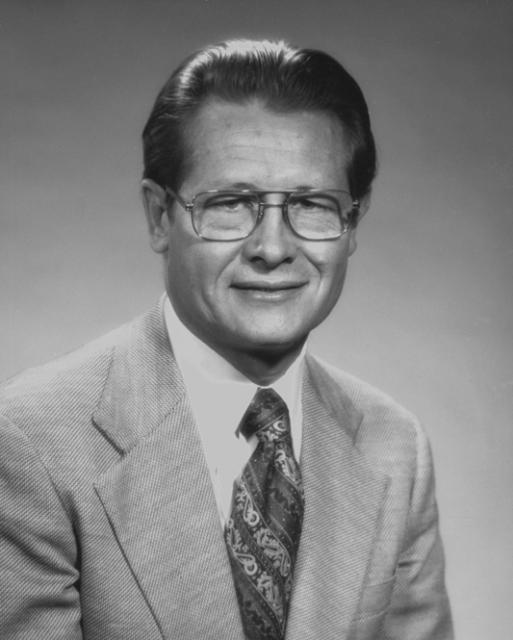
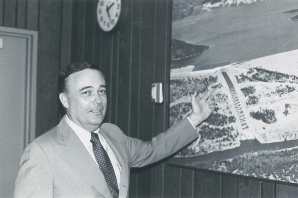
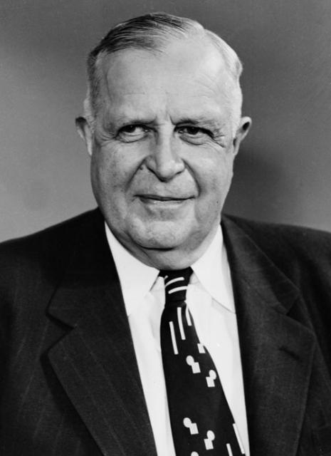
William R. “Bill” Gianelli
(1919-2020) was a civil engineer who served not only as
director of the California Department of Water Resources (DWR)
from 1967-1973 during Gov. Ronald Reagan’s administration, but
worked as a civil servant under Govs. Earl Warren, Goodwin Knight
and Edmund G. “Pat”
Brown during all phases of the California State Water Project (SWP):
its design, planning and construction.
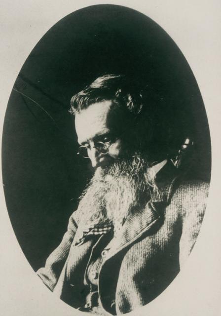
William Hammond Hall (1846-1934) is credited with the first
proposal of an integrated flood control system with levees, weirs
and bypass channels for the Sacramento Valley after his
appointment as the first California state engineer.
William Mulholland (1855-1935), an immigrant from Ireland, is
infamous in the history of California water and the state’s water
wars for both his far-sightedness and no-holds-barred approach to
delivering a controversial water supply to Southern California.
He is a love-hate character with a story that has many tellings,
including in the 1974 fictional movie, Chinatown.
William E. “Bill” Warne (1905-1996) had a career for the record
books that prominently featured water issues at state, federal
and international levels.
He served under Governor Edmund G. “Pat” Brown as the second
director of the state Department of Water Resources (DWR) from
1961-1967 along with also being the first Resources Agency
secretary from 1961-1963 at the beginning of the construction of
the California State
Water Project.
Thomas J. “Tom” Graff (1944-2009) opened up the California office
of the Environmental Defense Fund in 1971 and was its regional
director for more than 35 years.
Throughout his life, he was committed to the environment and the
mentorship of environmental leaders. He was revered as an
influential environmental lawyer on the state and federal water
circuits and public forums and used strategic acumen to build
partnerships to solve water problems with long-lasting solutions.
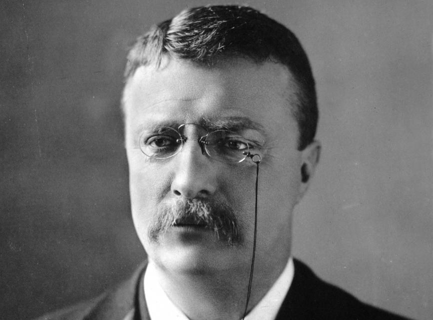
Theodore “Teddy” Roosevelt (1858-1919) was the 26th president of
the United States who established the U.S. Bureau of Reclamation
and created the U.S. Forest Service.
During his term of office from 1901-1909, he is credited for his
efforts on conservation, increasing the number of national
forests, protecting land for the public and promoting irrigation
projects. For Roosevelt, water was instrumental to developing the
Western states.
Stephen K. Hall (1951-2010) led the Association of California
Water Agencies (ACWA) as its executive director from 1993 until
retiring in 2007 from the effects of Amyotrophic Lateral
Sclerosis (ALS), or Lou Gehrig’s disease. Hall continued to stay
current on water issues and to advocate for legislation on ALS at
the state Capitol until he died.
His motto became “As much as I can for as long as I can.”
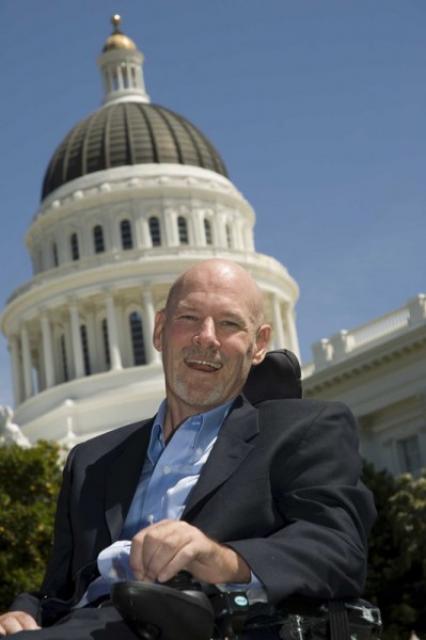
Ron Stork, the award-winning policy director of the Friends of
the River, joined the statewide California river conservation
group in 1987 as its associate conservation director. Previously
he was executive director of the Merced Canyon Committee, where
he directed the successful effort to obtain the National Wild and
Scenic River designation for the Merced River.
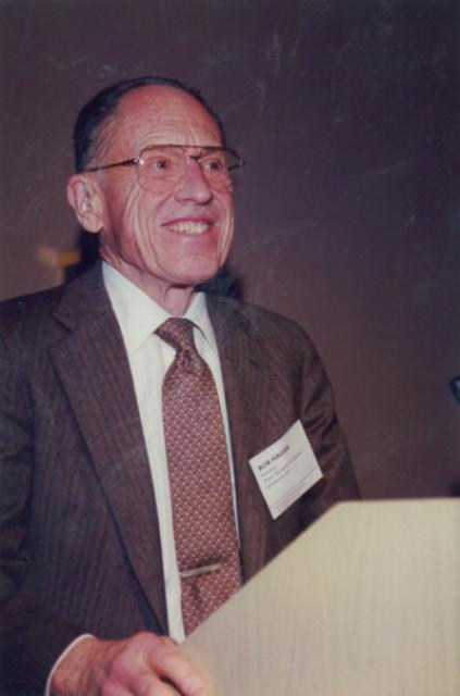
Robert “Bob” M. Hagan, Ph.D. (1917-2002), internationally
renowned for his expertise in the relationships between plants,
water, soil and water use efficiency — specifically in the area
of agricultural water use — was a professor of water science, an
irrigationist in the California Agricultural Experiment Station
and a statewide extension specialist in the California
Agricultural Extension Service during a 50-year career with the
University of California, Davis.
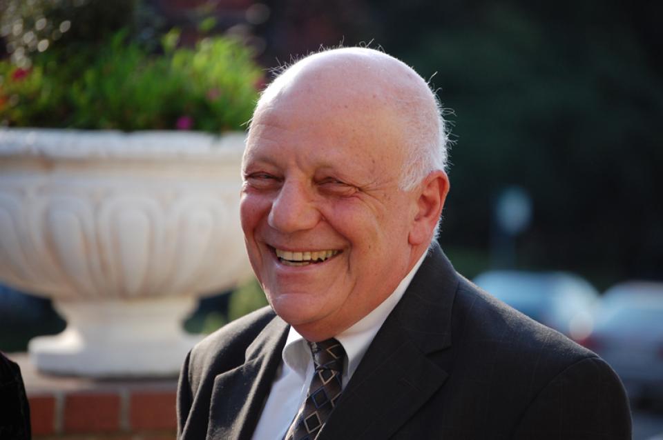
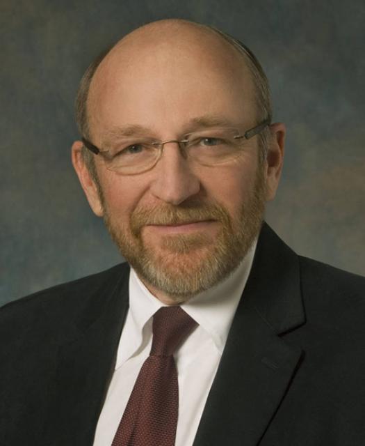
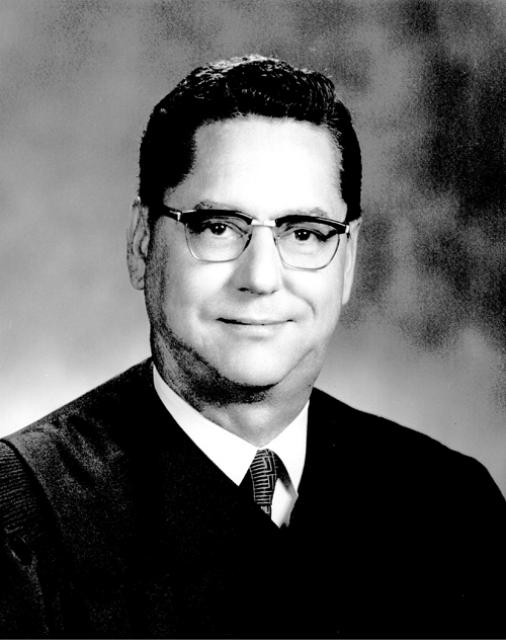
Ronald B. Robie, an associate justice on the California Court of
Appeal, Third Appellate District, has made his mark on state
water issues during a career in public service that has spanned
all three branches of government.
Robert A. Skinner (1895-1986) was the Metropolitan Water District
of Southern California general manager from 1962-1967. An
engineer, he was instrumental in negotiating the district’s
contract with the California Department of Water Resources for
delivery of water from Northern California. Both Lake Skinner and
a treatment plant in southwestern Riverside County were named in
his honor.
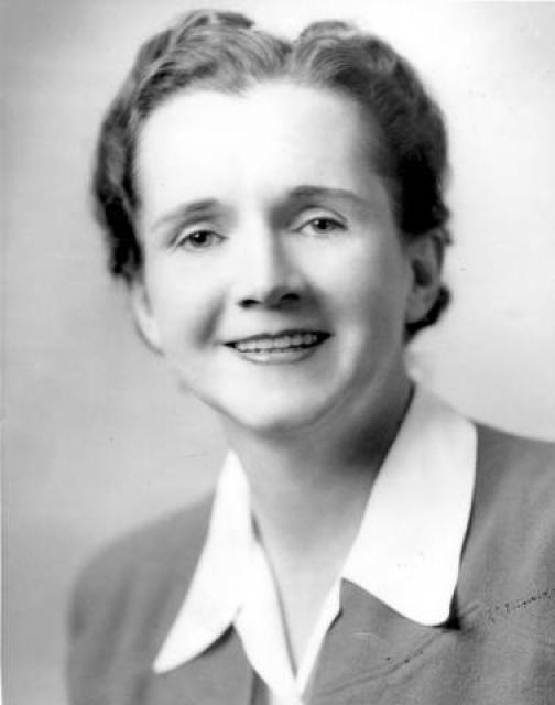
Rachel Carson (1907-1964) authored Silent Spring, a book
published in 1962 about the impacts of pesticides on
the ecosystem and credited with beginning the modern
environmental movement.
Before becoming a full-time writer, she worked at the U.S. Bureau
of Fisheries, renamed the Fish and Wildlife Service, from
1935-1952 as a biologist and then editor-in-chief of
publications.
Marc Reisner (1948-2000), an environmental writer who became a
celebrity in the water world, was the author of Cadillac Desert:
The American West and Its Disappearing Water (1986), a
best-seller about Western water history and politics and a
full-blown critique of 20th century water development, especially
in California and the West. “Based on 10 years of research,
Cadillac Desert is a stunning expose and a dramatic, provocative
history of the creation of an Eden — an Eden that may be only a
mirage,” according to the book’s back flap.
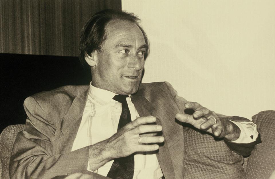
Lester A. Snow, the mastermind behind
countless water resources management projects, has been involved
in water issues in two states, both the public and private
sectors and on regional, state and federal levels of government.
In a timeline of his career, Snow served from 1988-1995 as the
general manager of the San Diego County Water Authority after
leaving the Arizona Department of Water Resources. From
1995-1999, he was the executive director of the CALFED Bay-Delta
Program, which included a team of both federal and state
agencies.
Julian B. Hinds (1881-1977) was
Metropolitan Water District of Southern California’s general
manager and chief engineer from 1941-1951, but began work on the
Colorado
River Aqueduct in 1929 soon after the district was organized.
He also was involved in construction of dams across the West,
including Elephant Butte Dam in New Mexico and Santa Felicia Dam
in Ventura County.
John Wesley Powell (1834-1902) was historic and heroic for being
first to lead an expedition down the Colorado River in 1869. A major
who lost an arm in the Civil War Battle of Shiloh, he was an
explorer, geologist, geographer and ethnologist.
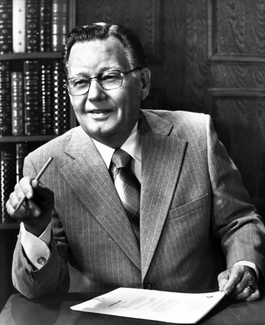
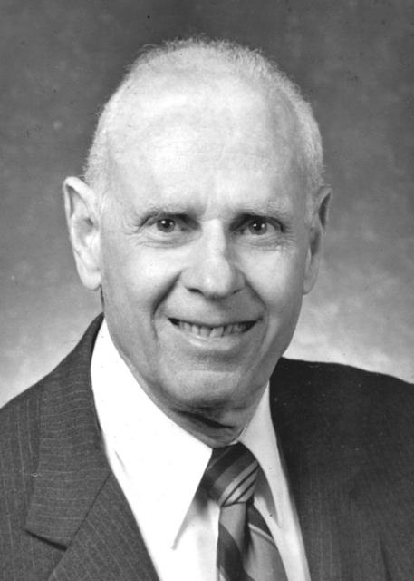
John R. Teerink (1921-1992) was the director of the California
Department of Water Resources (DWR) from 1973-1975 during
Governor Ronald Reagan’s administration.He had various lead roles
in the implementation of the State Water Project during his
29-year career at DWR. He progressed through the ranks as junior
engineer, assistant chief engineer and then deputy director until
his appointment to head the department.
John Muir (1838-1914) was a famous
and influential naturalist and conservationist who founded the
Sierra Club in 1892 and was its president until he died.
Throughout his life, this man from Scotland was also a farmer,
inventor, sheepherder, explorer and writer.
Joan Didion (1934-2021) was a native California author and
playwright whose famous writings have featured California water
issues.
Born and reared in Sacramento, she
wrote extensively and personally about her feelings on the
subject of water. In her memoir, Where I Was From, she told not
only the story about her pioneering family’s roots in the
Sacramento area but also of the seasonal flooding, the water
politics and controversies, and the California State Water
Project (SWP) and federal Central Valley Project (CVP).
Jean Auer (1937-2005) was the first woman to serve on the State
Water Resources Control Board in California and a pioneer
for women aspiring to be leaders in the water world.
Ira J. “Jack” Chrisman (1910-1988) became a well-known force in
California’s water history beginning back in 1955 after his
family home was flooded in the San Joaquin Valley town of
Visalia.
Hiram W. Wadsworth (1862-1939) is known as the father of
Metropolitan Water District of Southern California. As the mayor
of Pasadena, he called for a regional partnership of
municipalities to bring water to Southern California. After
initiating the Colorado River Aqueduct Association and being
elected its president, he directed the campaign from 1924-1929
that led to the establishment of the district. The pumping plant
at Diamond Valley Lake, located 90 miles southeast of Los Angeles
in Riverside County, was named the Hiram W. Wadsworth
Pumping/Hydro-generating Facility in his honor.
Gordon Cologne (1924-2019) served for 10 years in the California
Legislature during the 1960s and early 1970s while the California
State Water Project was being built.
His interest in water issues began from his early life in the
Coachella Valley desert. An attorney, he worked in both the
public sector in Washington, D.C, and then in private practice in
California. He also served his local community as a member of the
city of Indio City Council, including as mayor, before his
decision to run for election to fill an open seat in the
Assembly.
Elwood Mead (1858-1936) was the commissioner of the U.S. Bureau
of Reclamation during the era of the development of Hoover Dam on
the Colorado River between Arizona and Nevada, Grand Coulee Dam
in Washington and Owyhee Dam in Oregon, among other large water
projects.
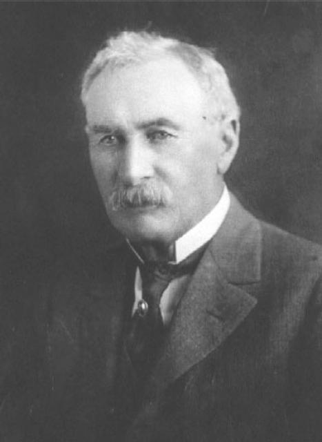
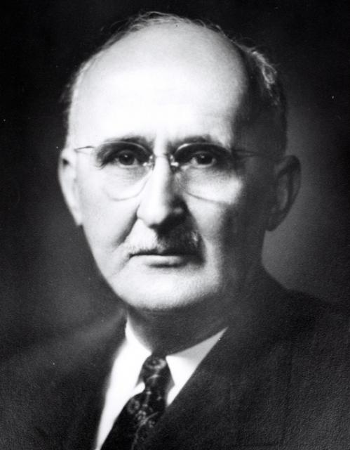
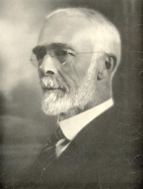
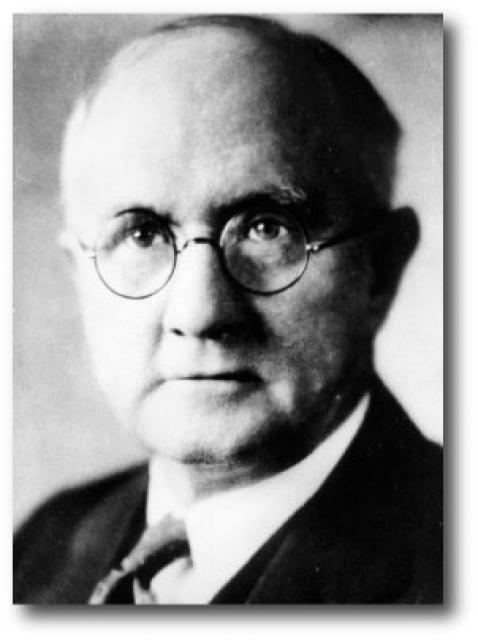
Edward Hyatt Jr. (1888-1954) was the state engineer of California
from 1927-1950. In a 1928 report he wrote titled “Water is the
Life Blood of California — The Division of Engineering and
Irrigation of the State Department of Public Works; What it Does
and How it Operates,” he called the department the “building
organization of California’s state government” and described
successes, challenges and responsibilities of his position.
Don McCrea was one of the founding members of the Water Education
Foundation and signed its original Articles of Incorporation in
1977.
His background was in power and energy issues, including
hydrology and the state’s hydrologic system, from a career at the
Pacific Gas & Electric Company in San Francisco. He was involved
in the development of the State Water Project as a proponent of
the value of hydroelectricity.
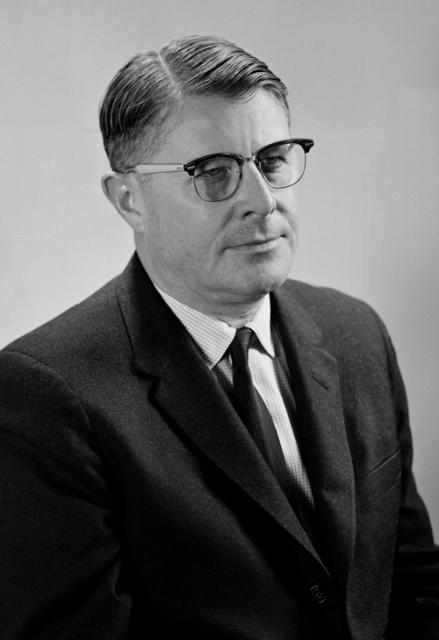
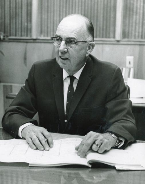
David N. Kennedy (1936-2007) was at the helm as the director of
the California Department of Water Resources (DWR) for 15 years,
the longest serving director to date, and a champion of the State
Water Project (SWP).
David A. Gaines (1947-1988) is known for founding the Mono Lake
Committee in 1978 with the goal of preserving its ecosystem and
leading a grassroots effort to “Save Mono Lake.” The result would
be an environmental cause célèbre. As a synopsis of the Mono Lake
litigation, in 1979 a lawsuit was filed against the Los Angeles
Department of Water and Power (DWP) to stop diversions to
Southern California — citing the public trust values at Mono
Lake.
Clair A. Hill (1909-1998), a self-made engineer nicknamed
“California’s Mr. Water,” built from the ground up an engineering
firm that would merge to form the global consulting firm of CH2M
HILL. (In 2017, the firm was acquired by Jacobs Engineering
Group.)
Carley V. Porter (1906-1972) was
the longtime chairman of the California Legislature’s Assembly
Committee on Water who has two historical and important water
laws named after him. He was a Democrat from Compton in Los
Angeles County and a teacher before being elected to the Assembly
in 1949.
Porter made the state’s water problems a major focus of his
legislative career. He served on the Legislature’s Joint Water
Problems Committee in the 1950s and chaired the Assembly Water
Committee from its creation in 1959.
C.W. “Bill” Jones (1918-2003) was an historical water figure
known for his pioneering efforts in bringing water deliveries to
the agricultural land in the San Joaquin Valley.
Bernice Frederic “B.F.” “Bernie” Sisk (1910-1995) represented the
San Joaquin Valley in the U.S. Congress for nearly a quarter of a
century from 1955-1978.
Arthur D. Edmonston directed the early planning
of the Central Valley Project, State Water Project and State
Water Plan.
He served as California state engineer and chief of the Division
of Water Resources (predecessor to the Department of Water
Resources) from 1950-1955, a time of rapid population,
agricultural and industry growth California. Water shortages were
common, and groundwater supplies were being overdrafted.
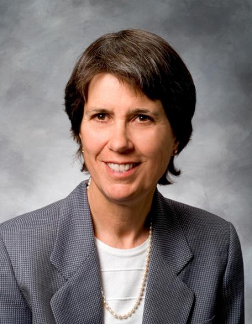
Anne J. Schneider (1947-2010) is
acknowledged as one of the first women to become well-known and
well-respected in the field of California and Western water law.
“Anne was an amazing person — an accomplished college athlete,
mountain climber, skier, marathon runner, velodrome and
long-distance cyclist; a devoted mother; a dedicated
conservationist,” said Justice Ronald B. Robie in the Inaugural
Anne J. Schneider Memorial Lecture in May 2012.
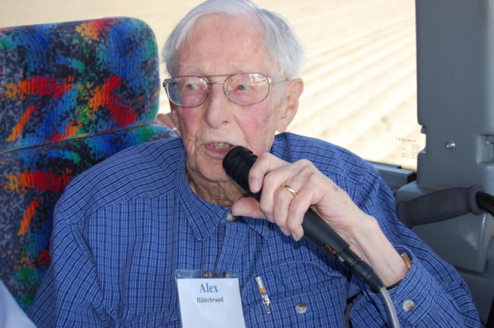
Alex Hildebrand (1913-2012) had an understanding and knowledge of
California’s South Delta and San Joaquin River bar none. After
retiring early from a career as an engineer for Standard Oil of
California, he moved his family to the San Joaquin Valley where
he farmed for nearly 50 years while active in water issues and as
an advocate for the area.
Adolph Moskovitz (1923-1996) is remembered as one of the leading
water resources attorneys in the country and has been described
as “brilliant” by his many peers in the legal profession.
We were pleased to receive the U.S. Bureau of Reclamation’s
highest award in the area of water conservation recently. The
Foundation was recognized for being a long-term industry leader
for conservation in California and the West. With receipt of this
award and the contents of this latest Western Water, I’ve been
reflecting on the more than 17 years I have spent at the
Foundation. As Sue McClurg chronicles in her article, a series of
talented people have worked both as staff and volunteers through
our 20 years. Certainly the Foundation owes much of its success
to these people.


 and other tributaries of the upper Colorado River have declined dramatically and contributed to the precipitous declines of Lake Powell and Lake Mead. (Source: The Water Desk)")

")
")
: Karla Nemeth, director, California Department of Water Resources; Gloria Gray, chair, Metropolitan Water District of Southern California; Brenda Burman, Bureau of Reclamation Commissioner; Jayne Harkins, commissioner, International Boundary and Water Commission, U.S. and Mexico; Amy Haas, executive director, Upper Colorado River Commission.")
")
")
")

")