Header link June 22, 2020

LinkedIn

  • Read more
Header link September 15, 2014

Cart

  • Read more
Header link November 3, 2015

Donate Now

  • Read more
Header link May 15, 2014

Twitter

  • Read more
Header link May 15, 2014

Facebook

  • Read more
Instagram
Header link May 15, 2014

Instagram

  • Read more
Header link May 15, 2014

Contact Us

  • Read more
More options
Water Education Foundation
Home

Water Education Foundation

Everything about California water that matters
  • Water Academy
    • Agriculture
      • Agricultural Conservation
      • Agricultural Drainage
    • Background Information
      • Legislation — California and Federal
      • Regulations — California and Federal
      • Water History
      • Water Rights
    • Bay-Delta
      • Bay Delta
      • Bay Delta Conservation Plan
      • Delta Issues
      • Delta Smelt
      • Sacramento San Joaquin Delta
      • San Francisco Bay
      • Suisun Marsh
    • Dams, Reservoirs and Water Projects
      • California Aqueduct
      • Central Valley Project
      • Folsom Dam
      • Friant Dam
      • Hetch Hetchy
      • Hoover Dam
      • Infrastructure
      • Lake Mead
      • Lake Powell
      • Oroville Dam
      • San Luis Dam
      • Shasta Dam
      • State Water Project
    • Environmental Issues
      • Anadromous Fish Restoration
      • Ecosystem
      • Endangered Species Act
      • Invasive species
      • Lake Tahoe
      • Mono Lake
      • Public Trust Doctrine
      • Salmon
      • San Joaquin River Restoration
      • Watershed
      • Wetlands
    • Leaders and Experts
    • Regions
      • Central Coast
      • Central Valley
      • Mexico
      • Nevada
      • North Coast
      • Pyramid Lake
      • Sacramento Valley
      • Salton Sea
      • San Joaquin Valley
      • Sierra Nevada
      • Southern California
      • Tulare Lake Basin
    • Rivers
      • Carson River
      • Colorado River
      • Klamath River
      • New River
      • North Coast Rivers
      • Russian River
      • Sacramento River
      • Truckee River
      • San Joaquin River
    • Water Issues
      • Climate Change
      • Coronavirus
      • Drought
      • Earthquakes
      • Energy and Water
      • Floods
      • Fracking
      • Growth
      • Hydropower
      • Levees
      • Tribal Water Issues
      • Water Conservation
    • Water Quality
      • Drinking Water
      • Nitrate contamination
      • Pollution
      • Stormwater
      • Wastewater
      • Water Quality
    • Water Supply and Management
      • Acre Foot
      • Aquifers
      • California Water Plan
      • Conjunctive Use
      • Desalination
      • Grey water
      • Groundwater
      • Integrated Regional Water Management
      • Recreation
      • Surface Water
      • Water Marketing and Banking
      • Water Rates
      • Water Recycling
      • Water Supply
      • Water Transfers
  • Tours & Events
    • Water Tours
      • 2024 Tour Sponsors
    • Events
    • Event Calendar
    • Past Tours & Events
      • Anne J. Schneider Fund Lecture Series
  • Specialized Programs
    • Water Leaders
      • Cohort Rosters
      • Yearly Class Reports
      • Your Alumni Network
      • Alumni Profiles
    • Project WET
      • Workshops
      • Special Workshops & Events
      • Supplementary Materials
      • California Content Standard Correlations
      • Facilitator's Trainings
      • Foundation School Programs
        • Elementary Programs
        • Secondary Programs
      • Water Kids
      • California Project WET Gazette
      • Gazette Archives
    • Colorado River Project
    • GRA Scholastic Fund Program
  • Maps & Guides
    • Maps & Posters
    • Layperson's Guides
    • Map & Guide Bundles
    • Books
    • Colorado River Materials
    • California Runoff Rundown
    • Other Publications
    • Water Awareness Materials
    • Downloadable Publications
    • Videos and DVDs
      • Video Clips
    • School Age Publications
    • Stickers
    • Free Programs and Publications
  • Newsroom
    • Western Water News
    • Aquafornia
      • About Aquafornia
    • Information Desk
    • Western Water Magazine Archive
      • Full Print Edition
      • Print Edition Excerpts
    • River Report Archive
  • Aquapedia
    • Alphabetical List of Subjects
      • A
      • B
      • C
      • D
      • E
      • F
      • G
      • H
      • I
      • J
      • K
      • L
      • M
      • N
      • O
      • P
      • Q
      • R
      • S
      • T
      • U
      • V
      • W
      • X
      • Y
      • Z
    • Historical Water People
    • Where Does My Water Come From?
      • Northern California
      • Sacramento
      • North Bay
      • South Bay
      • Central Valley
      • Los Angeles
      • Inland Empire
      • San Diego
      • All California Water Sources
    • Timelines
    • Videos
    • Image Gallery
    • Water Directory
      • Federal Agencies
      • State Agencies in California
      • Environmental Organizations
      • Other California Organizations
      • State and Federal Legislative Committees
      • Water Associations and Groups
      • Western States Water Agencies and Districts
    • Online Resources
    • Useful Acronyms
    • About Aquapedia
  • About
    • About Us
      • Board of Directors
      • Staff Biographies
      • Job Openings
    • Announcements
    • Support Our Mission
      • Become a Member
      • Donate in Honor/Memory
      • Planned Giving
    • Contact Us
Western Water June 15, 2018 Jenn Bowles Colorado River Basin Map Jennifer Bowles

Domino Effect: As Arizona Searches For a Unifying Voice, a Drought Plan for the Lower Colorado River Is Stalled
EDITOR'S NOTE: Finding solutions to the Colorado River — or any disputed river —may be the most important role anyone can play
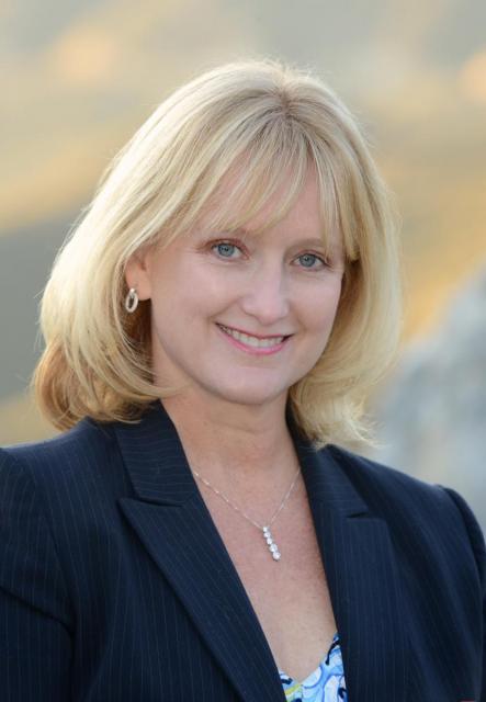
Nowhere is the domino effect in Western water policy played out more than on the Colorado River, and specifically when it involves the Lower Basin states of California, Nevada and Arizona. We are seeing that play out now as the three states strive to forge a Drought Contingency Plan. Yet that plan can’t be finalized until Arizona finds a unifying voice between its major water players, an effort you can read more about in the latest in-depth article of Western Water.

Even then, there are some issues to resolve just within California.

Perhaps with that in mind, Brenda Burman, commissioner of the U.S. Bureau of Reclamation, traveled to the Imperial Valley last month to urge the Lower Basin states to restart stalled talks aimed at leading all sides to agree to take less water — at least temporarily — from Lake Mead to prevent it from dropping to dangerously low levels.

“We face an overwhelming risk on the river, and the time for action is now,” she told the Imperial Irrigation District Board of Directors.

And although Mexico agreed last year to cut the amount it takes from the river to help with Lake Mead elevations, that agreement can’t take effect until the Lower Basin’s drought plan is finalized.

Thus, the dominos. It is heightened by a very real and palpable reliance on the Colorado River to serve cities, farms and wildlife and the grim forecast for inflow to Lake Powell, now projected to be 39 percent of average.

Call me biased, but finding solutions to this crucial resource on the Colorado or any disputed water body is perhaps the most important role anyone can play.

If Burman is unsuccessful in persuading resolutions, her boss, Interior Secretary Ryan Zinke, could always throw down the gauntlet as the watermaster for the Lower Colorado River, meaning he can allocate surpluses and shortages among the states and even among users within each state. It happened in 2003 when then-Interior Secretary Gale Norton ordered reductions in water to major California water districts ahead of the Quantification Settlement Agreement to bring the state within its legal take of 4.4 million acre-feet.

Let’s hope it doesn’t get to that this time.

When we took Western Water magazine from a print publication to online earlier this year, we essentially merged it with our River Report, a twice-yearly magazine that covered issues along the Colorado River. This move allows Western Water to serve as a more comprehensive, one-stop shop for important water news across the West and, as it so happens, to better reflect the name it has had since 1977. So I hope you enjoy this article. There are more to come focusing on the Colorado River this year!

As for Burman, she is the first woman to lead the Bureau of Reclamation since its beginning in 1902. It’s refreshing to see a woman in charge of the agency that manages dams and delivers water to more than 31 million people and farmlands across the West.

Burman, a lawyer and veteran of water issues across the West, will give the keynote lunch speech at our Sept. 20 Water Summit in Sacramento. Perhaps she’ll announce progress or even success on the Colorado River.

Either way, it should be an interesting Water Summit; we hope you can join us!


  • Print-friendly

Referring Pages

Share this page

  • Share on Facebook
  • Share on Twitter
  • Share on LinkedIn
  • Sent to a friend.
Print-friendly

Related Links

Western Water June 15, 2018 Jenn Bowles Colorado River Basin Map Jennifer Bowles
Profile May 23, 2014

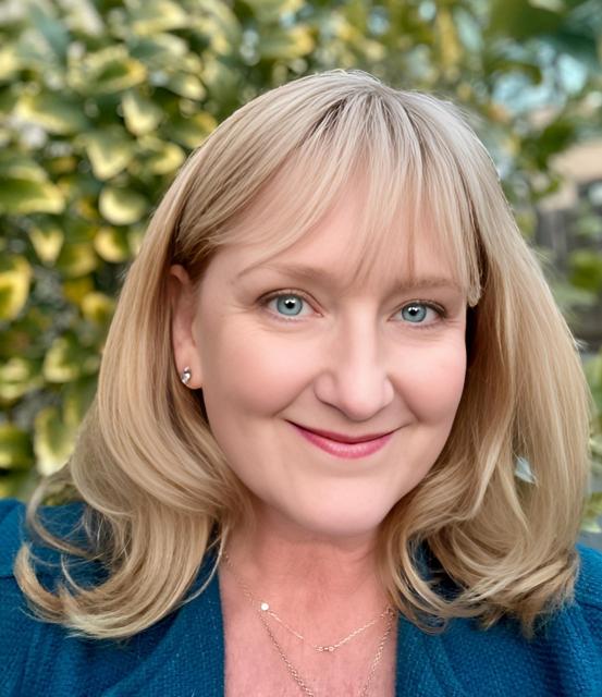
Jenn Bowles
Executive Director

A veteran journalist who has covered water issues across the West for some 25 years, Jenn joined the Water Education Foundation in 2014. She directs the development of Western Water news, the Layperson’s Guide series on key water topics, the Foundation’s Colorado River project, water maps and tours, and various workshops and conferences. She oversees the Water Leader programs and leads fund-raising, external communications, and website and social media efforts.

In December 2016, she led an international journalism workshop on water issues for UNESCO (United Nations Educational, Scientific and Cultural Organization). Held in Tehran, the workshop included participants from Iran, Pakistan, Turkmenistan, Oman and Malaysia. You can read her blog about the experience here.

  • Read more
  • Follow Jenn Bowles
Maps & Posters May 20, 2014

Colorado River Basin Map
Redesigned in 2017

Redesigned in 2017, this beautiful map depicts the seven Western states that share the Colorado River with Mexico. The Colorado River supplies water to nearly 40 million people in Arizona, California, Colorado, Nevada, New Mexico, Utah, Wyoming and Mexico. Text on this beautiful, 24×36-inch map, which is suitable for framing, explains the river’s apportionment, history and the need to adapt its management for urban growth and expected climate change impacts.

  • Read more
Back
This item appears in:
  • Topic: Climate Change
  • Western Water News
  • Topic: Colorado River
  • Topic: Drought
  • Topic: Mexico
  • Topic: Water History
  • Topic: Nevada
  • Topic: Hoover Dam
  • Topic: Lake Mead
  • Topic: Lake Powell
  • Topic: Water Conservation
  • Topic: Water Supply
Footer pod May 20, 2014

Water Education Foundation

Copyright © 2025 Water Education Foundation. All rights reserved.

The Water Education Foundation is a nonprofit, tax-exempt, 501(c)3 organization, federal tax ID #942419885.

Privacy Policy

Donor Privacy Policy

  • Read more
Footer pod May 20, 2014

Contact Information

2151 River Plaza Drive, Suite 205
Sacramento CA 95833

Telephone (916) 444-6240

Contact Us via email

  • Read more

Quicklinks

Footer quicklink May 20, 2014

Contact Us

  • Read more
Footer quicklink May 20, 2014

Donate Today

  • Read more
Footer quicklink May 20, 2014

Tours

  • Read more
Footer quicklink May 20, 2014

Newsletter Signup

  • Read more
Footer quicklink May 20, 2014

Foundation News

  • Read more
Footer quicklink May 20, 2014

Calendar

  • Read more

Log in

  • Create new account
  • Request new password

Commands

  • Support portal
  • Log in