Until the early 1900s, central California’s Tulare Lake naturally
appeared every winter as the southernmost rivers flowing out of
the Sierra Nevada Mountains filled the dry lakebed with rainfall
and melted snow.
Farmers adjacent to the lake also used the water to irrigate
their lands. But the variable shoreline made growing seasons
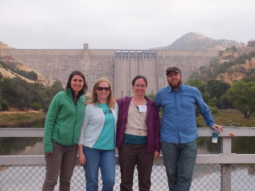
unpredictable. In response, Pine Flat Dam was built by the U.S.
Army Corps of Engineers to control Kings River flows. The Kings
River is still used extensively for irrigation.
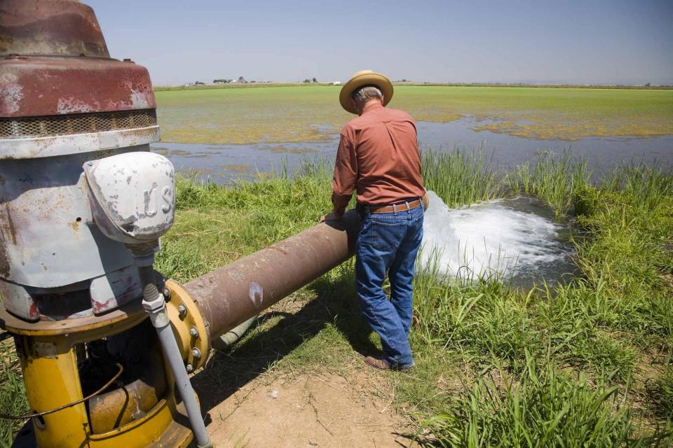
Because the Tulare Lake Basin’s irrigation water does not have an
outlet, agricultural drainage is stored in a series of
evaporation ponds in and near the lakebed, which has been
converted to farm fields. By the 1980s the water drained
into 28 ponds totaling 7,300 acres. Crop production improved in
part due to improved drainage. Today, drainage water from about
44,046 acres of farmland is contained and evaporated from eight
basins encompassing 4,740 acres of evaporation ponds.
Seeking to prevent the California State Water Resources Control
Board from stepping in to regulate groundwater in critically
overdrafted subbasins, local agencies are working to correct
deficiencies in their plans to protect groundwater. With
groundwater sustainability agencies formed and groundwater
sustainability plans evaluated, the state water board has moved
to implement the 2014 Sustainable Groundwater Management Act,
or SGMA. … Under probation, groundwater extractors in
the Tulare Lake subbasin face annual fees of $300 per well and
$20 per acre-foot pumped, plus a late reporting fee of 25%.
SGMA also requires well owners to file annual groundwater
extraction reports.
Residents living below the Isabella Auxiliary Dam were thrilled
earlier this month with a temporary fix that finally dried up
excessive seepage from the dam that had been swamping septic
systems and breeding forests of mosquito-infested weeds around
their homes. The didn’t realize how temporary the fix would be,
however. After only 12 days without a river cutting through his
land, rancher Gerald Wenstrand woke up to see the seepage back
on Saturday.
… A state audit from the California Water Resources Control
Board released last year found that over 920,000 residents
faced an increased risk of illness–including cancer, liver and
kidney problems–due to consuming unsafe drinking water. A
majority of these unsafe water systems are in the Central
Valley. The matter has prompted community leaders to mobilize
residents around water quality as politicians confront
imperfect solutions for the region’s supply. Advocates point
out that impacted areas, including those in Tulare County, tend
to be majority Latino with low median incomes. … This
year’s extreme weather has only worsened the valley’s problems.
The storms that hit California at the start of this year caused
stormwater tainted with farm industry fertilizer, manure and
nitrates to flow into valley aquifers.
A new underground mapping technology
that reveals the best spots for storing surplus water in
California’s Central Valley is providing a big boost to the
state’s most groundwater-dependent communities.
The maps provided by the California Department of Water Resources
for the first time pinpoint paleo valleys and similar prime
underground storage zones traditionally found with some guesswork
by drilling exploratory wells and other more time-consuming
manual methods. The new maps are drawn from data on the
composition of underlying rock and soil gathered by low-flying
helicopters towing giant magnets.
The unique peeks below ground are saving water agencies’
resources and allowing them to accurately devise ways to capture
water from extreme storms and soak or inject the surplus
underground for use during the next drought.
“Understanding where you’re putting and taking water from really
helps, versus trying to make multimillion-dollar decisions based
on a thumb and which way the wind is blowing,” said Aaron Fukuda,
general manager of the Tulare Irrigation District, an early
adopter of the airborne electromagnetic or
AEM technology in California.
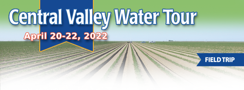
This tour ventured through California’s Central Valley, known as the nation’s breadbasket thanks to an imported supply of surface water and local groundwater. Covering about 20,000 square miles through the heart of the state, the valley provides 25 percent of the nation’s food, including 40 percent of all fruits, nuts and vegetables consumed throughout the country.
There’s going to be a new governor
in California next year – and a host of challenges both old and
new involving the state’s most vital natural resource, water.
So what should be the next governor’s water priorities?
That was one of the questions put to more than 150 participants
during a wrap-up session at the end of the Water Education
Foundation’s Sept. 20 Water Summit in Sacramento.
California entered a new era of
groundwater management in 2014 with the passage of the
Sustainable Groundwater Management Act (SGMA), becoming the last
state in the arid West to enact some kind of comprehensive
groundwater
management program.
This 25-minute documentary-style DVD, developed in partnership
with the California Department of Water Resources, provides an
excellent overview of climate change and how it is already
affecting California. The DVD also explains what scientists
anticipate in the future related to sea level rise and
precipitation/runoff changes and explores the efforts that are
underway to plan and adapt to climate.
Salt. In a small amount, it’s a gift from nature. But any doctor
will tell you, if you take in too much salt, you’ll start to have
health problems. The same negative effect is happening to land in
the Central Valley. The problem scientists call “salinity” poses
a growing threat to our food supply, our drinking water quality
and our way of life. The problem of salt buildup and potential –
but costly – solutions are highlighted in this 2008 public
television documentary narrated by comedian Paul Rodriguez.
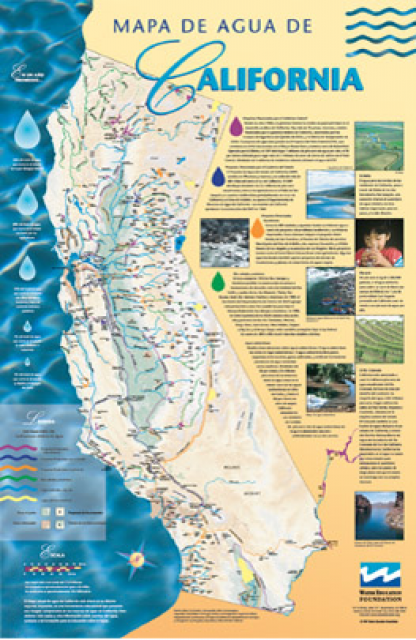
A new look for our most popular product! And it’s the perfect
gift for the water wonk in your life.
Our 24×36-inch California Water Map is widely known for being the
definitive poster that shows the integral role water plays in the
state. On this updated version, it is easier to see California’s
natural waterways and man-made reservoirs and aqueducts
– including federally, state and locally funded
projects – the wild and scenic rivers system, and
natural lakes. The map features beautiful photos of
California’s natural environment, rivers, water projects,
wildlife, and urban and agricultural uses and the
text focuses on key issues: water supply, water use, water
projects, the Delta, wild and scenic rivers and the Colorado
River.
Until the early 1900s, Central
California’s Tulare Lake appeared every winter as the
southernmost rivers flowing out of the Sierra Nevada filled the
dry lakebed with rainfall and melted snow.
In the spring, the shallow lake near Visalia could cover as much
as 790 square miles or four times the surface area of Lake Tahoe.
However, by the end of the hot San Joaquin Valley summer, the
giant lake – once the largest freshwater body west of the
Mississippi River – could disappear primarily due to evaporation.


")
")