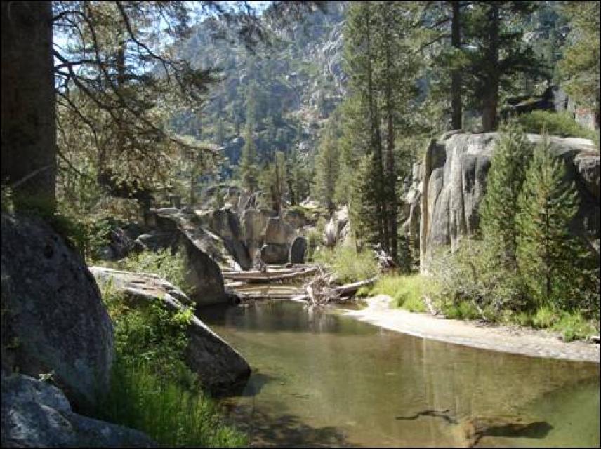
The Carson River begins in the
Sierra Nevada southeast of Lake Tahoe as two separate forks.The
united Carson River flows through the Carson Valley and into
Lahontan Reservoir, draining after 184 miles into the Carson Sink
wetlands in the Great Basin of Nevada.
The East Fork begins in the mountains of California’s Sonora Pass
and after flowing through California and Nevada, it meets the
West Fork just south of Carson City. The West Fork forms at
California’s Carson Pass, running through California and into
Nevada to its junction with the East Fork.
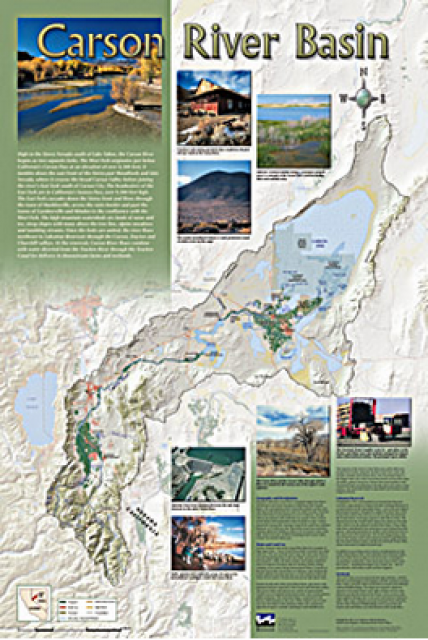
A companion to the Truckee River Basin Map poster, this
24×36-inch poster, suitable for framing, explores the Carson
River, and its link to the Truckee River. The map includes the
Lahontan Dam and reservoir, the Carson Sink, and the farming
areas in the basin. Map text discusses the region’s hydrology and
geography, the Newlands Project, land and water use within the
basin and wetlands. Development of the map was funded by a grant
from the U.S. Bureau of Reclamation Mid-Pacific Region, Lahontan
Basin Area Office.
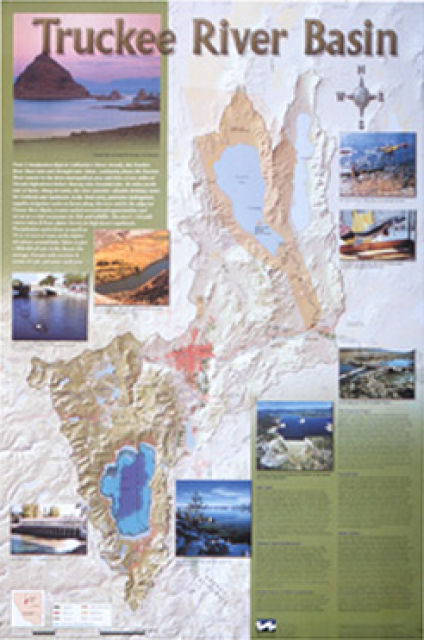
This beautiful 24×36-inch poster, suitable for framing, displays
the rivers, lakes and reservoirs, irrigated farmland, urban areas
and Indian reservations within the Truckee River Basin, including
the Newlands Project, Pyramid Lake and Lake Tahoe. Map text
explains the issues surrounding the use of the Truckee-Carson
rivers, Lake Tahoe water quality improvement efforts, fishery
restoration and the effort to reach compromise solutions to many
of these issues.
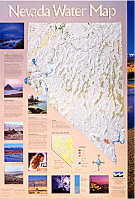
This 24×36 inch poster, suitable for framing, illustrates the
water resources available for Nevada cities, agriculture and the
environment. It features natural and manmade water resources
throughout the state, including the Truckee and Carson rivers,
Lake Tahoe, Pyramid Lake and the course of the Colorado River
that forms the state’s eastern boundary.
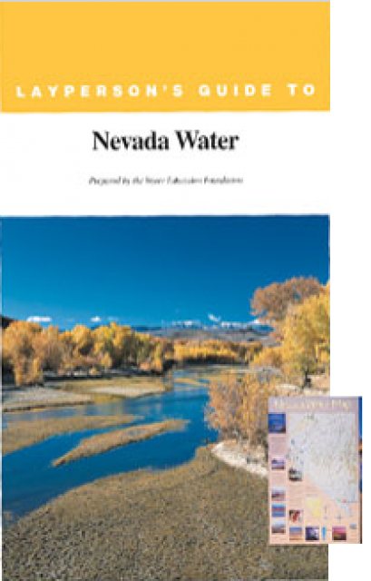
The 28-page Layperson’s Guide to Nevada Water provides an
overview of the history of water development and use in Nevada.
It includes sections on Nevada’s water rights laws, the history
of the Truckee and Carson rivers, water supplies for the Las
Vegas area, groundwater, water quality, environmental issues and
today’s water supply challenges.
The East Fork begins in the mountains of California’s Sonora Pass
and after flowing through California and Nevada, it meets the
West Fork just south of Carson City. The West Fork forms at
California’s Carson Pass, running through California and into
Nevada to its junction with the East Fork.