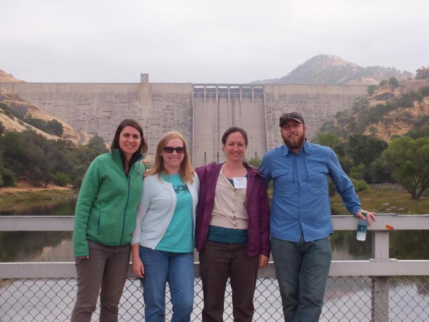
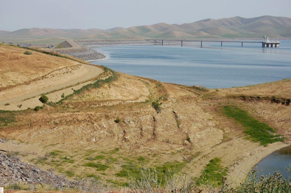
Located on the west side of the San Joaquin Valley in the Coast
Range foothills, San Luis Dam and Reservoir are used by the state
and federal governments to store water diverted from the Delta.
It is the largest offstream reservoir in the United States.
The San Luis Reservoir is a key water facility serving both the
State Water Project and the federal Central Valley Project. It
can hold 2 million acre-feet of water and is jointly owned by the
federal Bureau of Reclamation and California’s Department of
Water Resources. The state’s share of the San Luis
Reservoir water is 55 percent.
A new aquatic invader, the golden mussel, has penetrated California’s ecologically fragile Sacramento-San Joaquin Delta, the West Coast’s largest tidal estuary and the hub of the state’s vast water export system. While state officials say they’re working to keep this latest invasive species in check, they concede it may be a nearly impossible task: The golden mussel is in the Golden State to stay – and it is likely to spread.
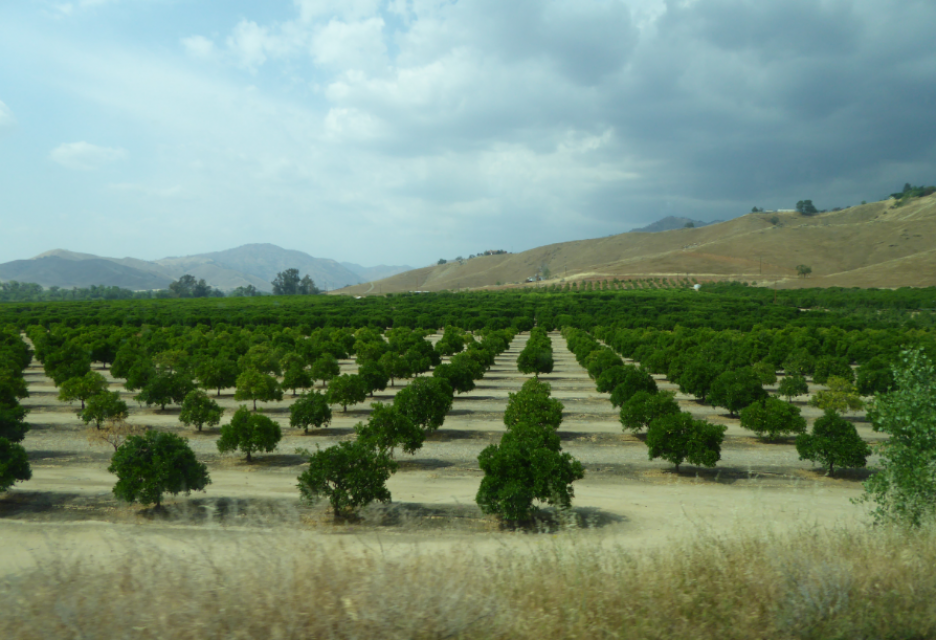
This tour ventured through California’s Central Valley, known as the nation’s breadbasket thanks to an imported supply of surface water and local groundwater. Covering about 20,000 square miles through the heart of the state, the valley provides 25 percent of the nation’s food, including 40 percent of all fruits, nuts and vegetables consumed throughout the country.
The San Joaquin Valley, known as the
nation’s breadbasket, grows a cornucopia of fruits, nuts and
other agricultural products.
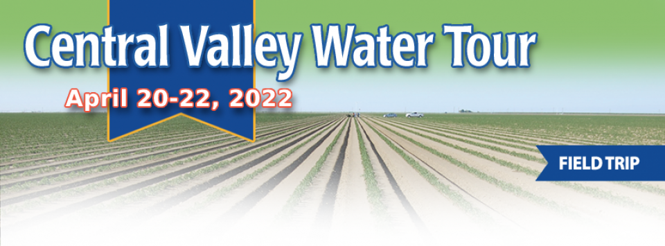
During our three-day Central Valley Tour April
3-5, you will meet farmers who will explain how they prepare
the fields, irrigate their crops and harvest the produce that
helps feed the nation and beyond. We also will drive through
hundreds of miles of farmland and visit the rivers, dams,
reservoirs and groundwater wells that provide the water.
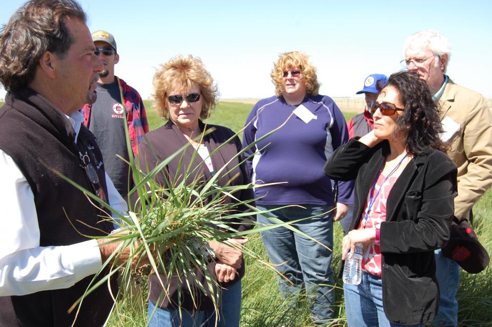
Get a unique view of the San Joaquin Valley’s key dams and
reservoirs that store and transport water on our March Central
Valley Tour.
Our Central Valley
Tour, March 14-16, offers a broad view of water issues
in the San Joaquin Valley. In addition to the farms, orchards,
critical habitat for threatened bird populations, flood bypasses
and a national wildlife refuge, we visit some of California’s
major water infrastructure projects.
This 25-minute documentary-style DVD, developed in partnership
with the California Department of Water Resources, provides an
excellent overview of climate change and how it is already
affecting California. The DVD also explains what scientists
anticipate in the future related to sea level rise and
precipitation/runoff changes and explores the efforts that are
underway to plan and adapt to climate.
This 3-day, 2-night tour travels the length of the San Joaquin
Valley, giving participants a clear understanding of the State
Water Project and Central Valley Project.
30-minute DVD that traces the history of the U.S. Bureau of
Reclamation and its role in the development of the West. Includes
extensive historic footage of farming and the construction of
dams and other water projects, and discusses historic and modern
day issues.
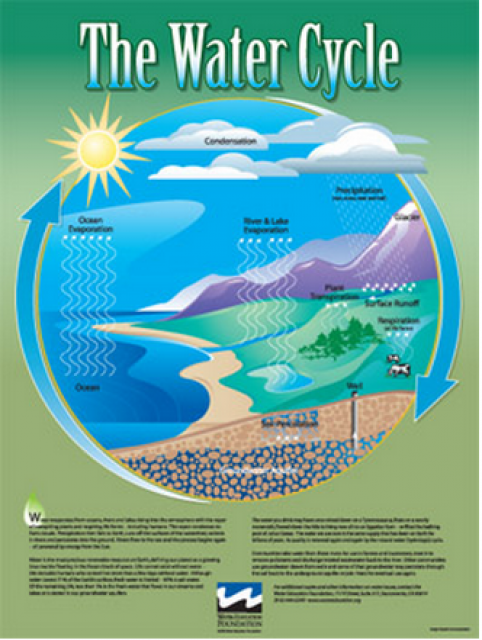
Water as a renewable resource is depicted in this 18×24 inch
poster. Water is renewed again and again by the natural
hydrologic cycle where water evaporates, transpires from plants,
rises to form clouds, and returns to the earth as precipitation.
Excellent for elementary school classroom use.
The 24-page Layperson’s Guide to the Central Valley Project
explores the history and development of the federal Central
Valley Project (CVP), California’s largest surface water delivery
system. In addition to the project’s history, the guide describes
the various facilities, operations and benefits the water
project brings to the state along with the CVP
Improvement Act (CVPIA).
A new look for our most popular product! And it’s the perfect
gift for the water wonk in your life.
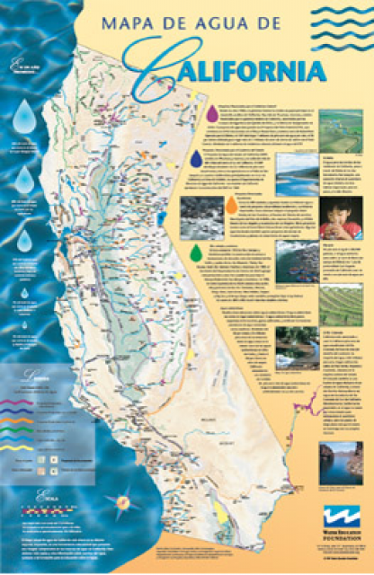
Our 24×36-inch California Water Map is widely known for being the
definitive poster that shows the integral role water plays in the
state. On this updated version, it is easier to see California’s
natural waterways and man-made reservoirs and aqueducts
– including federally, state and locally funded
projects – the wild and scenic rivers system, and
natural lakes. The map features beautiful photos of
California’s natural environment, rivers, water projects,
wildlife, and urban and agricultural uses and the
text focuses on key issues: water supply, water use, water
projects, the Delta, wild and scenic rivers and the Colorado
River.
The San Luis Reservoir is the nation’s largest off-stream
reservoir, serving as a key water facility for both the
State Water
Project (SWP) and the federal Central Valley Project
(CVP).


")