The State Water Project (SWP) is responsible for bringing
drinking water to 25 million people and provides irrigation for
750,000 acres of farmland. Without it California would never have
become the economic powerhouse it is today.
The nation’s largest state-built water and power development and
conveyance system, the SWP diverts water from the Feather River
to the Central Valley, South Bay Area and Southern California.
Its key feature is the 444-mile long California Aqueduct that can
be viewed from Interstate 5.
The SWP has required the construction of 21 dams and more than
700 miles canals, pipelines and tunnels. To reach Southern
California, the water must be pumped 2,000 feet over the
Tehachapi Mountains; it’s the highest water lift in the world.
Today, about 30 percent of SWP water is used for irrigation,
mostly in the San Joaquin Valley, and about 70 percent is used
for residential, municipal and industrial use, mainly in Southern
California but also in the Bay Area. The SWP was built and is
operated by the California Department of Water Resources.
A federal judge declined on Thursday to halt Northern
California water infrastructure projects that a group of
environmental nonprofits say will harm several vulnerable fish
species. Denying a temporary restraining order, U.S. District
Judge Jennifer Thurston said neither the plaintiffs — the
Center for Biological Diversity, the San Francisco Baykeeper
and Friends of the River — nor the U.S. Bureau of Reclamation
provided her an argument on how to interpret the terms of a
Endangered Species Act biological opinion for the
Central Valley Project. … In their March
lawsuit, the three environmental organizations say the
projects threaten fish like the Chinook salmon, steelhead trout
and Northern American green sturgeon.
Water contractors can expect to pay between 1% to 3% more for
the energy it takes to bring supplies down the state through
California’s largest project thanks to just one renewable
energy project that came online recently in Kern County – the
Pastoria Solar Project. And that’s just the beginning. When the
Department of Water Resources (DWR) brings on enough renewable
energy projects to fully power the State Water
Project (SWP), contractors can expect their costs to
increase another 10% to 20%, according to a presentation at the
May 20 California Water Commission meeting by DWR Manager of
Power Operations Jorge Quintero. … The SWP is the
state’s largest single electricity consumer, using between 2.5
million and 9.5 million megawatt hours a year, depending on how
much water it’s moving.
The 24-page Layperson’s Guide to California Water provides an
excellent overview of the history of water development and use in
California. It includes the latest information on the state’s
changing hydrology, recent water conservation legislation and the
state’s efforts to stretch the available water supplies.
The 24-page Layperson’s Guide to the Delta explores the competing
uses and demands on California’s Sacramento-San Joaquin
Delta. The 11th edition examines this critical
water hub and its myriad challenges. The 2025 version
includes the latest information on the tunnel project, habitat
restoration efforts, climate change impacts and an updated
section on the legal and political facets of the Delta.
A new aquatic invader, the golden mussel, has penetrated California’s ecologically fragile Sacramento-San Joaquin Delta, the West Coast’s largest tidal estuary and the hub of the state’s vast water export system. While state officials say they’re working to keep this latest invasive species in check, they concede it may be a nearly impossible task: The golden mussel is in the Golden State to stay – and it is likely to spread.
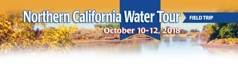
This tour explored the Sacramento River and its tributaries through a scenic landscape while learning about the issues associated with a key source for the state’s water supply.
All together, the river and its tributaries supply 35 percent of California’s water and feed into two major projects: the State Water Project and the federal Central Valley Project.
Water Education Foundation
2151 River Plaza Drive, Suite 205
Sacramento, CA 95833
It’s the most frustrating part of conservation. To save water,
you rip out your lawn, shorten your shower time, collect
rainwater for the flowers and stop washing the car. Your water
use plummets. And for all that trouble, your water supplier
raises your rates. Why? Because everyone is using so much less
that the agency is losing money. That’s the dynamic in
play with Southern California’s massive wholesaler, the
Metropolitan Water District, despite full reservoirs after two
of history’s wettest winters. … Should water users be
happy about these increases? The answer is a counterintuitive
“yes.” Costs would be higher and water scarcer in the future
without modest hikes now.
This tour explored the Sacramento River and its tributaries through a scenic landscape while learning about the issues associated with a key source for the state’s water supply.
All together, the river and its tributaries supply 35 percent of California’s water and feed into two major projects: the State Water Project and the federal Central Valley Project.
Water Education Foundation
2151 River Plaza Drive, Suite 205
Sacramento, CA 95833
This tour explored the Sacramento River and its tributaries
through a scenic landscape while learning about the issues
associated with a key source for the state’s water supply.
All together, the river and its tributaries supply 35 percent of
California’s water and feed into two major projects: the State
Water Project and the federal Central Valley Project.
Water Education Foundation
2151 River Plaza Drive, Suite 205
Sacramento, CA 95833
This tour ventured through California’s Central Valley, known as the nation’s breadbasket thanks to an imported supply of surface water and local groundwater. Covering about 20,000 square miles through the heart of the state, the valley provides 25 percent of the nation’s food, including 40 percent of all fruits, nuts and vegetables consumed throughout the country.
This tour guided participants on a virtual exploration of the Sacramento River and its tributaries and learn about the issues associated with a key source for the state’s water supply.
All together, the river and its tributaries supply 35 percent of California’s water and feed into two major projects: the State Water Project and the federal Central Valley Project.
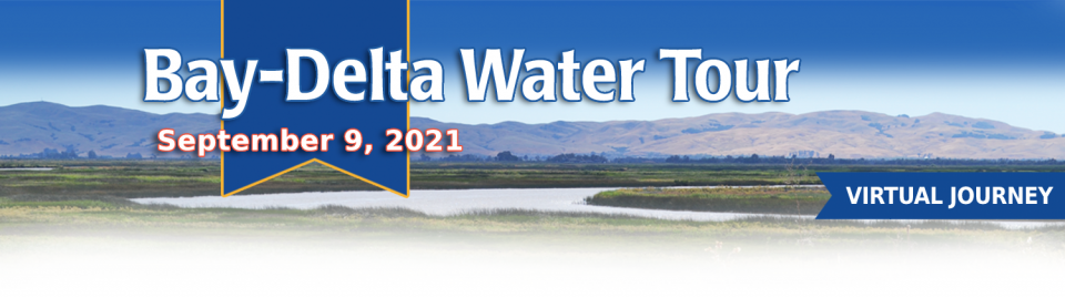
This tour guided participants on a virtual journey deep into California’s most crucial water and ecological resource – the Sacramento-San Joaquin Delta. The 720,000-acre network of islands and canals support the state’s two major water systems – the State Water Project and the Central Valley Project. The Delta and the connecting San Francisco Bay form the largest freshwater tidal estuary of its kind on the West coast.
A government agency that controls much of California’s water
supply released its initial allocation for 2021, and the
numbers reinforced fears that the state is falling into another
drought. The U.S. Bureau of Reclamation said Tuesday that most
of the water agencies that rely on the Central Valley Project
will get just 5% of their contract supply, a dismally low
number. Although the figure could grow if California gets more
rain and snow, the allocation comes amid fresh weather
forecasts suggesting the dry winter is continuing. The National
Weather Service says the Sacramento Valley will be warm and
windy the next few days, with no rain in the forecast.
Voluntary agreements in California
have been touted as an innovative and flexible way to improve
environmental conditions in the Sacramento-San Joaquin Delta
and the rivers that feed it. The goal is to provide river flows
and habitat for fish while still allowing enough water to be
diverted for farms and cities in a way that satisfies state
regulators.
The southern part of California’s Central Coast from San Luis Obispo County to Ventura County, home to about 1.5 million people, is blessed with a pleasing Mediterranean climate and a picturesque terrain. Yet while its unique geography abounds in beauty, the area perpetually struggles with drought.
Indeed, while the rest of California breathed a sigh of relief with the return of wet weather after the severe drought of 2012–2016, places such as Santa Barbara still grappled with dry conditions.
One of California Gov. Gavin
Newsom’s first actions after taking office was to appoint Wade
Crowfoot as Natural Resources Agency secretary. Then, within
weeks, the governor laid out an ambitious water agenda that
Crowfoot, 45, is now charged with executing.
That agenda includes the governor’s desire for a “fresh approach”
on water, scaling back the conveyance plan in the Sacramento-San
Joaquin Delta and calling for more water recycling, expanded
floodplains in the Central Valley and more groundwater recharge.
Imported water from the Sierra
Nevada and the Colorado River built Southern California. Yet as
drought, climate change and environmental concerns render those
supplies increasingly at risk, the Southland’s cities have ramped
up their efforts to rely more on local sources and less on
imported water.
Far and away the most ambitious goal has been set by the city of
Santa Monica, which in 2014 embarked on a course to be virtually
water independent through local sources by 2023. In the 1990s,
Santa Monica was completely dependent on imported water. Now, it
derives more than 70 percent of its water locally.
In the universe of California water, Tim Quinn is a professor emeritus. Quinn has seen — and been a key player in — a lot of major California water issues since he began his water career 40 years ago as a young economist with the Rand Corporation, then later as deputy general manager with the Metropolitan Water District of Southern California, and finally as executive director of the Association of California Water Agencies. In December, the 66-year-old will retire from ACWA.
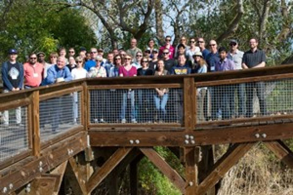
This tour explored the Sacramento River and its tributaries
through a scenic landscape as participants learned about the
issues associated with a key source for the state’s water supply.
All together, the river and its tributaries supply 35 percent of
California’s water and feed into two major projects: the State
Water Project and the federal Central Valley Project. Tour
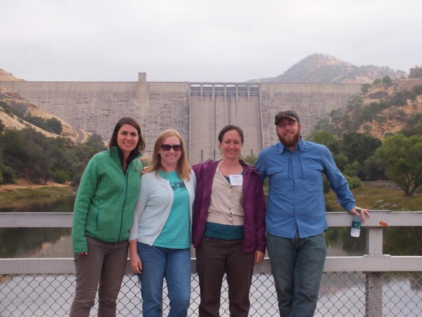
participants got an on-site update of Oroville Dam spillway
repairs.
Get a unique view of the San Joaquin Valley’s key dams and
reservoirs that store and transport water on our March Central
Valley Tour.
Our Central Valley
Tour, March 14-16, offers a broad view of water issues
in the San Joaquin Valley. In addition to the farms, orchards,
critical habitat for threatened bird populations, flood bypasses
and a national wildlife refuge, we visit some of California’s
major water infrastructure projects.
This tour explored the Sacramento River and its tributaries
through a scenic landscape as participants learned about the
issues associated with a key source for the state’s water supply.
All together, the river and its tributaries supply 35 percent of
California’s water and feed into two major projects: the State
Water Project and the federal Central Valley Project. Tour
participants got an on-site update of repair efforts on the
Oroville Dam spillway.
For as long as agriculture has existed in the Central Valley,
farmers have pumped water from the ground to sustain their
livelihood and grow food consumed by much of the nation. This has
caused the ground in certain places to sink, sometimes
dramatically, eliminating valuable aquifer storage space that can
never be restored.
One of the wettest years in California history that ended a
record five-year drought has rejuvenated the call for new storage
to be built above and below ground.
In a state that depends on large surface water reservoirs to help
store water before moving it hundreds of miles to where it is
used, a wet year after a long drought has some people yearning
for a place to sock away some of those flood flows for when they
are needed.
Flowing into the heart of the Mojave Desert, the Mojave River exists mostly underground. Surface channels are usually dry absent occasional groundwater surfacing and flooding from extreme weather events like El Niño.
With a holding capacity of more
than 260 billion gallons, Diamond Valley Lake is Southern
California’s largest reservoir. It sits about 90 miles southeast
of Los Angeles and just west of Hemet in Riverside County where
it was built in 2000. The offstream reservoir was created by
three large dams that connect
the surrounding hills, costing around $1.9 billion and doubling
the region’s water storage capacity.
This 30-minute documentary, produced in 2011, explores the past,
present and future of flood management in California’s Central
Valley. It features stories from residents who have experienced
the devastating effects of a California flood firsthand.
Interviews with long-time Central Valley water experts from
California Department of Water Resources (FloodSAFE), U.S. Army
Corps of Engineers, Bureau of Reclamation, Central Valley Flood
Management Program and environmental groups are featured as they
discuss current efforts to improve the state’s 150-year old flood
protection system and develop a sustainable, integrated, holistic
flood management plan for the Central Valley.
This 30-minute documentary-style DVD on the history and current
state of the San Joaquin River Restoration Program includes an
overview of the geography and history of the river, historical
and current water delivery and uses, the genesis and timeline of
the 1988 lawsuit, how the settlement was reached and what was
agreed to.
This 25-minute documentary-style DVD, developed in partnership
with the California Department of Water Resources, provides an
excellent overview of climate change and how it is already
affecting California. The DVD also explains what scientists
anticipate in the future related to sea level rise and
precipitation/runoff changes and explores the efforts that are
underway to plan and adapt to climate.
15-minute DVD that graphically portrays the potential disaster
should a major earthquake hit the Sacramento-San Joaquin Delta.
“Delta Warning” depicts what would happen in the event of an
earthquake registering 6.5 on the Richter scale: 30 levee breaks,
16 flooded islands and a 300 billion gallon intrusion of salt
water from the Bay – the “big gulp” – which would shut down the
State Water Project and Central Valley Project pumping plants.
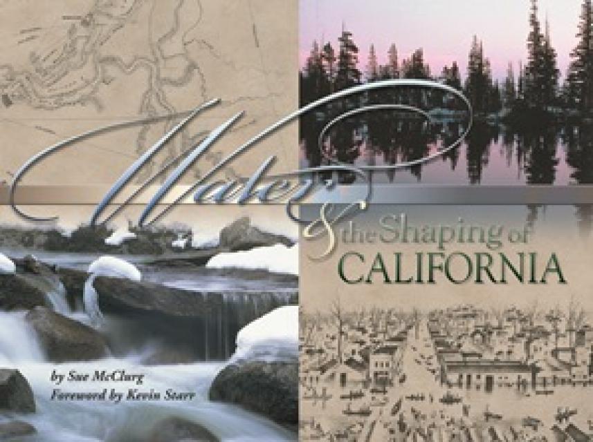
Water truly has shaped California into the great state it is
today. And if it is water that made California great, it’s the
fight over – and with – water that also makes it so critically
important. In efforts to remap California’s circulatory system,
there have been some critical events that had a profound impact
on California’s water history. These turning points not only
forced a re-evaluation of water, but continue to impact the lives
of every Californian. This 2005 PBS documentary offers a
historical and current look at the major water issues that shaped
the state we know today. Includes a 12-page viewer’s guide with
background information, historic timeline and a teacher’s lesson.
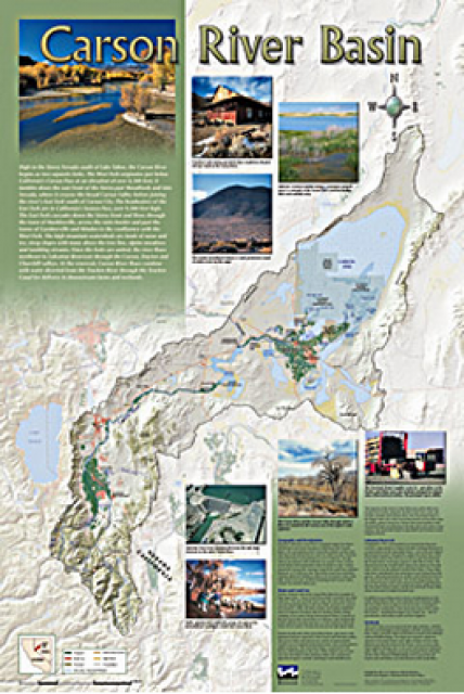
A companion to the Truckee River Basin Map poster, this
24×36-inch poster, suitable for framing, explores the Carson
River, and its link to the Truckee River. The map includes the
Lahontan Dam and reservoir, the Carson Sink, and the farming
areas in the basin. Map text discusses the region’s hydrology and
geography, the Newlands Project, land and water use within the
basin and wetlands. Development of the map was funded by a grant
from the U.S. Bureau of Reclamation Mid-Pacific Region, Lahontan
Basin Area Office.
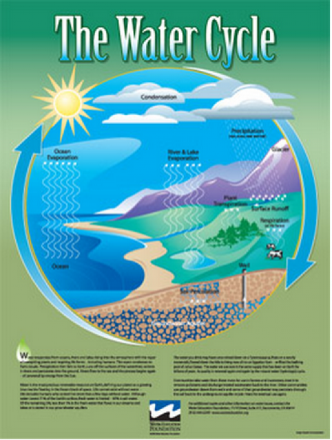
Water as a renewable resource is depicted in this 18×24 inch
poster. Water is renewed again and again by the natural
hydrologic cycle where water evaporates, transpires from plants,
rises to form clouds, and returns to the earth as precipitation.
Excellent for elementary school classroom use.
The 24-page Layperson’s Guide to the State Water Project provides
an overview of the California-funded and constructed State Water
Project.
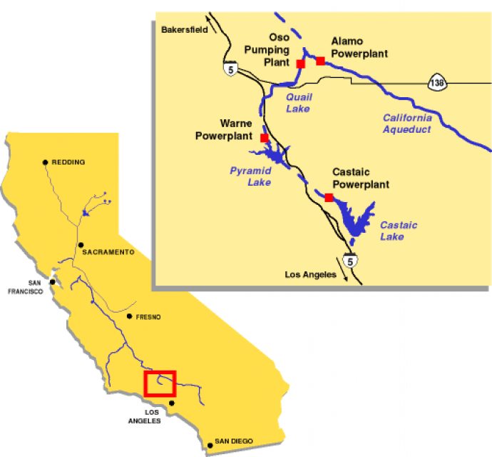
The State Water Project is best known for the 444-mile-long
aqueduct that provides water from the Delta to San Joaquin Valley
agriculture and southern California cities. The guide contains
information about the project’s history and facilities.
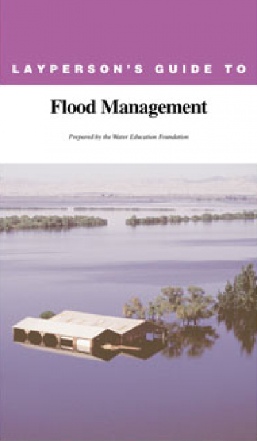
The 24-page Layperson’s Guide to Flood Management explains the
physical flood control system, including levees; discusses
previous flood events (including the 1997 flooding); explores
issues of floodplain management and development; provides an
overview of flood forecasting; and outlines ongoing flood control
projects.
A new look for our most popular product! And it’s the perfect
gift for the water wonk in your life.
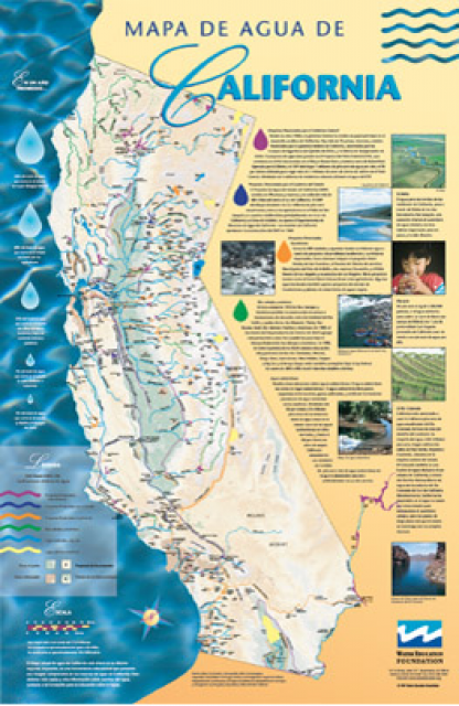
Our 24×36-inch California Water Map is widely known for being the
definitive poster that shows the integral role water plays in the
state. On this updated version, it is easier to see California’s
natural waterways and man-made reservoirs and aqueducts
– including federally, state and locally funded
projects – the wild and scenic rivers system, and
natural lakes. The map features beautiful photos of
California’s natural environment, rivers, water projects,
wildlife, and urban and agricultural uses and the
text focuses on key issues: water supply, water use, water
projects, the Delta, wild and scenic rivers and the Colorado
River.
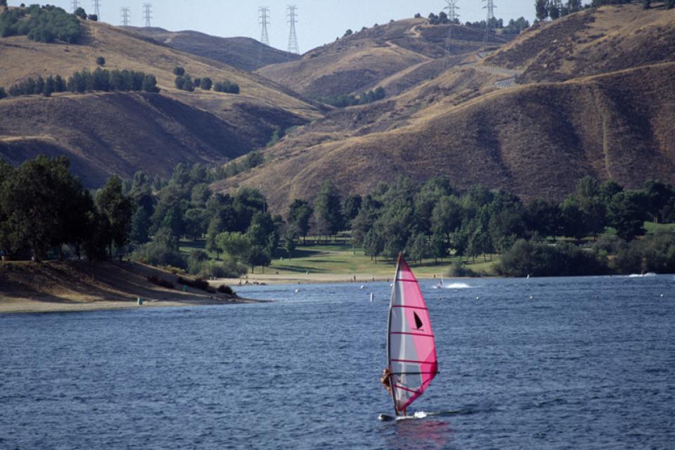
The West Branch Aqueduct supplies water for Los Angeles and other
Southern California cities.
The West Branch is one of two State Water Project
aqueducts serving Southern California.
After being pumped over the Tehachapi Mountains from the Edmonston Pumping
Plant, water for the West Branch Aqueduct is then stored in
Pyramid Lake and Castaic Lake [See also East Branch Aqueduct, which
serves the Inland Empire near Riverside.]
The State Water Project is a lifeline for California because of its vital role in bringing water to cities and farms. Without it, California would never have developed into the economic powerhouse it is.
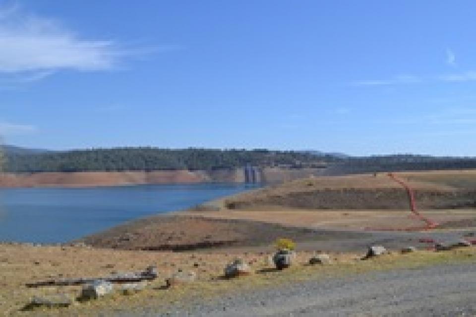
Oroville Dam is the tallest in the
United States and impounds the largest reservoir in
California’s State Water
Project, which brings water to 27 million residents and
750,000 acres of farmland.
Completed in 1968, the 770-foot earthfill embankment impounds the
northern Sierra Nevada’s Feather River, creating a reservoir that
can hold 3.5 million acre-feet
of water.
The Monterey Amendment, a 1994 pact between Department of Water
Resources and State Water Project contractors, helped ease
environmental stresses on the Sacramento San Joaquin Delta.
As part of large-scale restructuring of water supply contracts,
the Monterey Amendment allowed for storage of excess flows during
wet years in groundwater banks and surface storage reservoir.
This stored water could then be used later during dry periods or
to help the Delta.
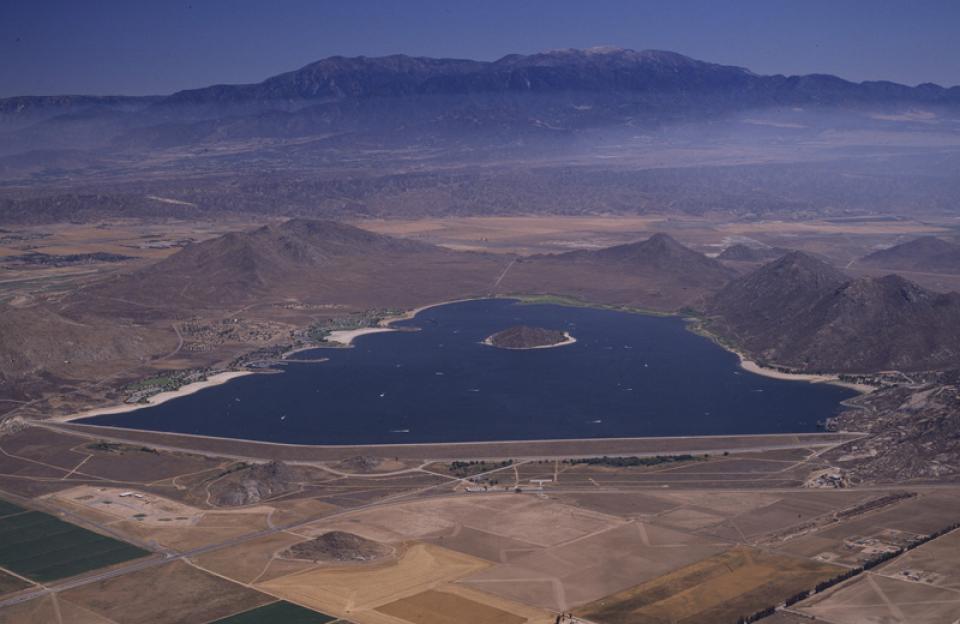
The State Water
Project facility Lake Perris, in northwestern Riverside
County, stores water for Inland Empire cities such as San
Bernardino and Riverside. [See also Santa Ana River.]
Built between 1970 and 1974, Lake Perris is the SWP’s
southernmost reservoir and is one of the most popular
recreational lakes in the system.
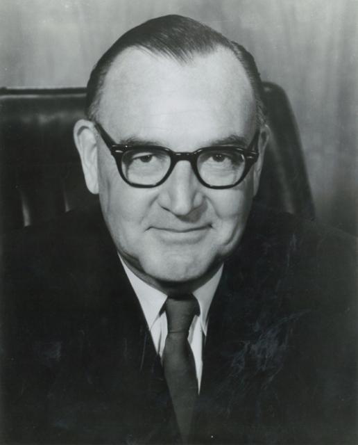
Edmund G. “Pat” Brown (1905-1996) was California’s governor from
1959-1967, exemplified the best in public service and left a
wide-ranging legacy that featured first and foremost the State Water Project (SWP)
and California
Aqueduct but also included the Fair Housing Act, the Fair
Employment Act, the Master Plan for Higher Education and highway
expansion.
One of two State Water
Project aqueducts serving Southern California, the East
Branch Aqueduct stores water in Silverwood Lake and Lake Perris.
After being pumped over the Tehachapi Mountains from the Edmonston Pumping
Plant, water for the East Branch Aqueduct passes through
Palmdale and Lancaster [see also West Branch Aqueduct]. The
water is then stored for distribution to Inland Empire cities
such as San Bernardino and Riverside.
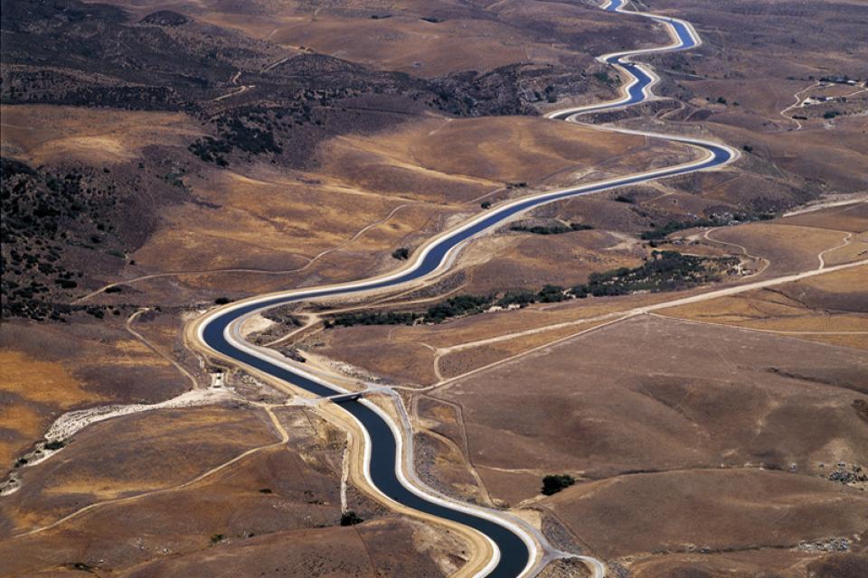
The California Aqueduct, a critical part of the State Water
Project, carries water from the Sacramento-San Joaquin
Delta to the San Joaquin Valley and Southern California.
Established as part of a $1.75 billion bond passed by voters in
1960, the 444-mile-long California Aqueduct (formally known as
the Edmund G. Brown California Aqueduct) begins at the Harvey O.
Banks Pumping Plant in the Delta.
It parallels Interstate 5 south to the Tehachapi Mountains.
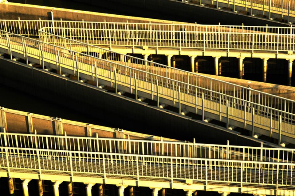
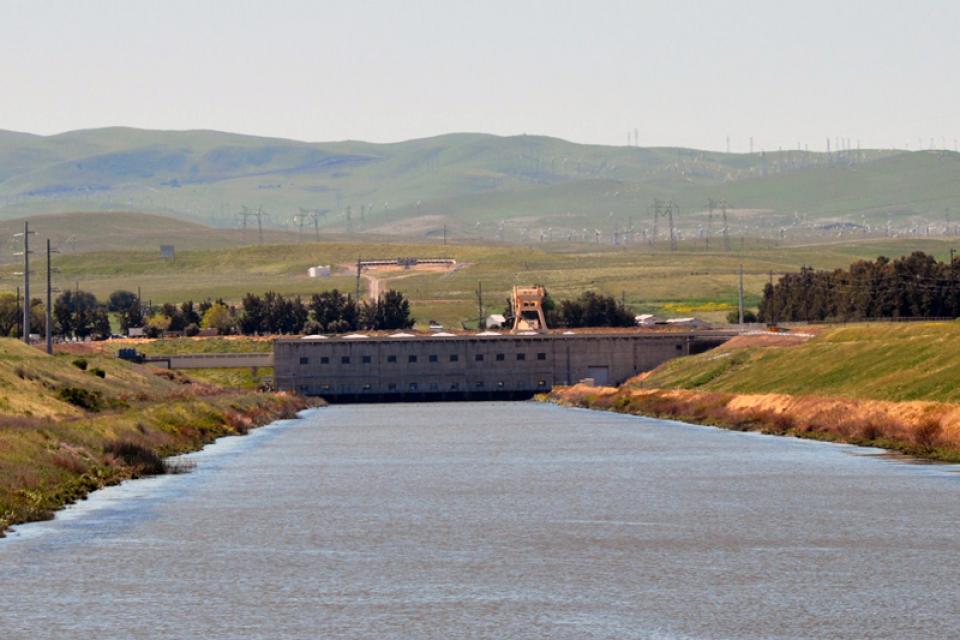
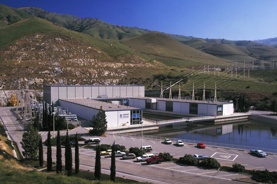
The world’s largest water lift, the Edmonston Pumping Plant is a
State Water Project
facility. The pumping plant plays a vital role in Southern
California’s economy by supplying the semi-arid region with badly
needed water.
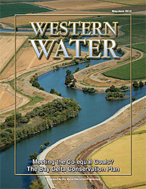
This issue of Western Water looks at the BDCP and the
Coalition to Support Delta Projects, issues that are aimed at
improving the health and safety of the Delta while solidifying
California’s long-term water supply reliability.
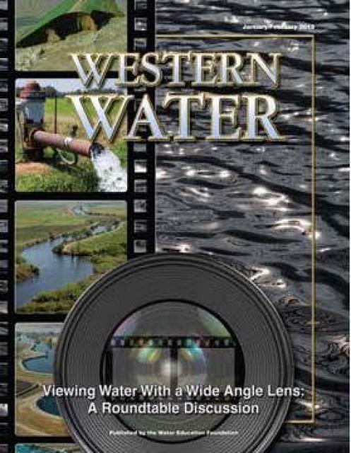
This printed issue of Western Water features a
roundtable discussion with Anthony Saracino, a water resources
consultant; Martha Davis, executive manager of policy development
with the Inland Empire Utilities Agency and senior policy advisor
to the Delta Stewardship Council; Stuart Leavenworth, editorial
page editor of The Sacramento Bee and Ellen Hanak, co-director of
research and senior fellow at the Public Policy Institute of
California.
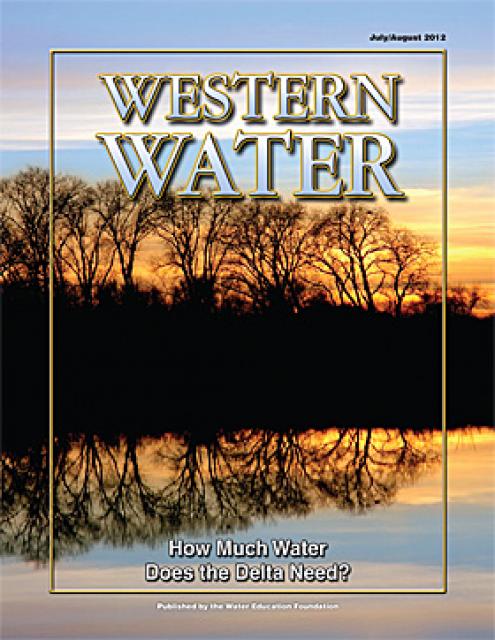
This printed issue of Western Water examines the issues
associated with the State Water Board’s proposed revision of the
water quality Bay-Delta Plan, most notably the question of
whether additional flows are needed for the system, and how they
might be provided.
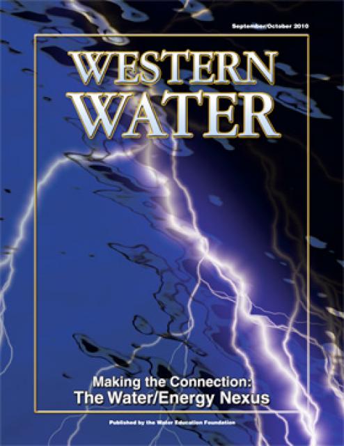
This printed issue of Western Water looks at the energy
requirements associated with water use and the means by which
state and local agencies are working to increase their knowledge
and improve the management of both resources.
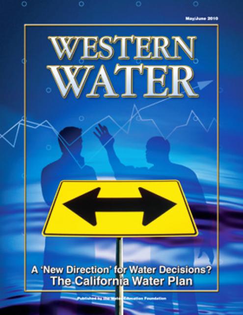
This printed issue of Western Water examines the
changed nature of the California Water Plan, some aspects of the
2009 update (including the recommendation for a water finance
plan) and the reaction by certain stakeholders.
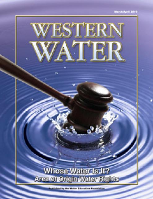
This printed issue of Western Water examines the area
of origin laws, what they mean to those who claim their
protections and the possible implications of the Tehama Colusa
Canal Authority’s lawsuit against the Bureau of Reclamation.
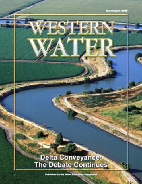
This printed issue of Western Water provides an overview of the
idea of a dual conveyance facility, including questions
surrounding its cost, operation and governance
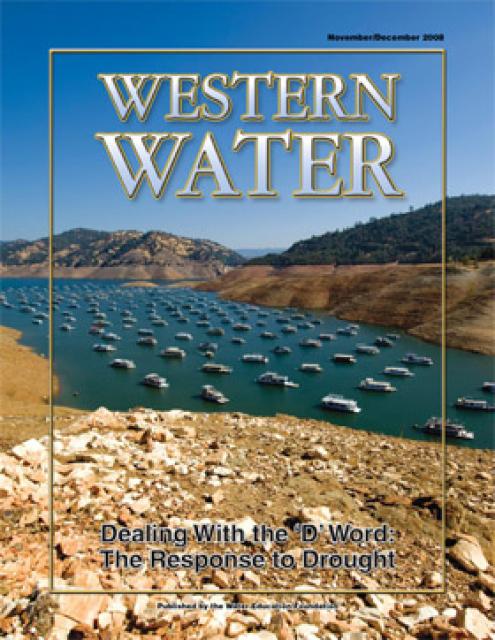
This printed copy of Western Water examines California’s drought
– its impact on water users in the urban and agricultural sector
and the steps being taken to prepare for another dry year should
it arrive.


")


")
")
")
 treats dry weather urban runoff to remove pollutants such as sediment, oil, grease, and pathogens for nonpotable use. (Image: City of Santa Monica)")
")