The Sacramento Valley, the northern part of the Central Valley,
spreads through 10 counties north of the Sacramento–San Joaquin
River Delta (Delta). Sacramento is an important agricultural
region, growing citrus, nuts and rice among many other crops.
Water flows from the Sierra Nevada Mountain Range to the region’s
two major rivers — the Sacramento and American – and west into
the Delta. Other rivers include the Cosumnes, which is the
largest free-flowing river in the Central Valley, the lower
Feather, Bear and Yuba.
The Sacramento Valley attracts more than 2 million ducks and
geese each winter to its seasonal marshes along the Pacific
Flyway. Species include northern pintails, snow geese, tundra
swans, sandhill cranes, mallards, grebes, peregrine falcons,
heron, egrets, and hawks.
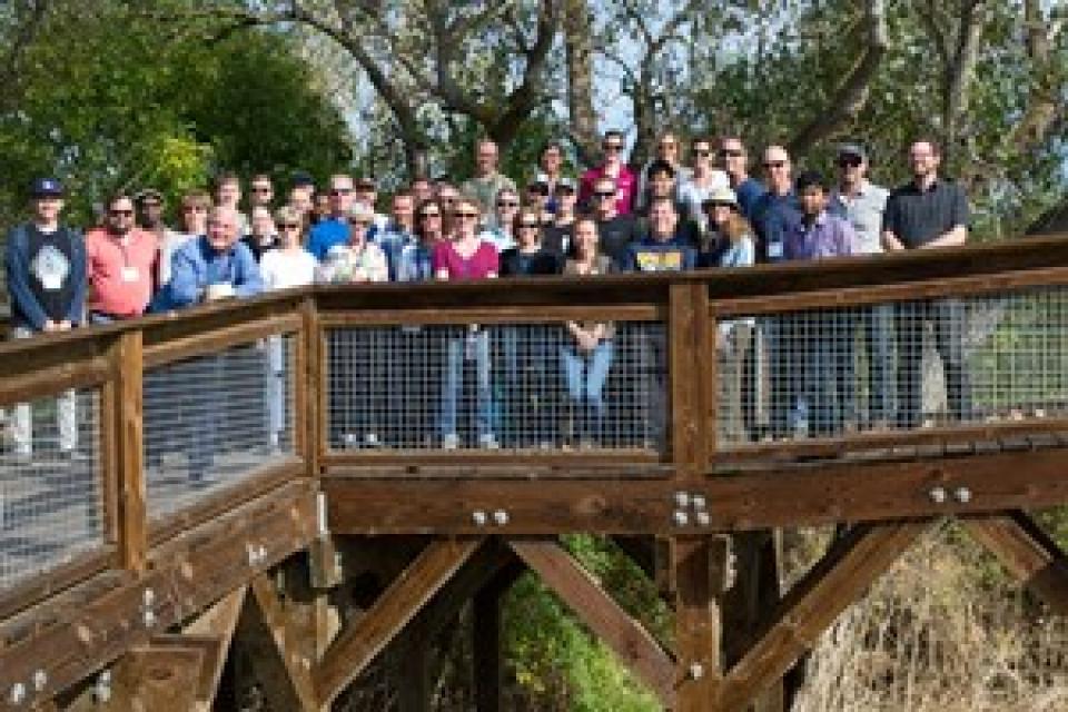
This tour explored the Sacramento River and its tributaries through a scenic landscape while learning about the issues associated with a key source for the state’s water supply.
All together, the river and its tributaries supply 35 percent of California’s water and feed into two major projects: the State Water Project and the federal Central Valley Project.
Water Education Foundation
2151 River Plaza Drive, Suite 205
Sacramento, CA 95833
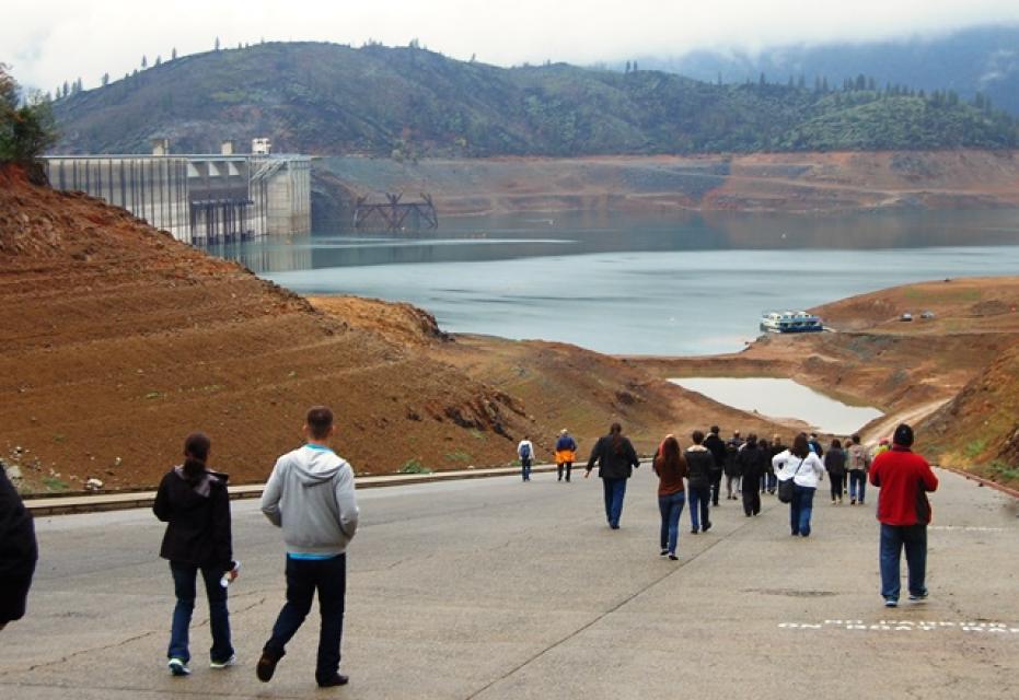
The continued wet weather in the Northstate has left quite an
impact at Shasta Lake. California’s largest reservoir rose a
foot from Thursday to Friday, and 5 feet from January 26 to
February 2. Currently, Shasta Lake sits at 1,035 feet, roughly
30 feet from capacity. That’s an increase of 47 feet from this
date last year. … Overall, the weather station at Shasta
Dam has reported 36.56 inches of rain since the water year
began on October 1.
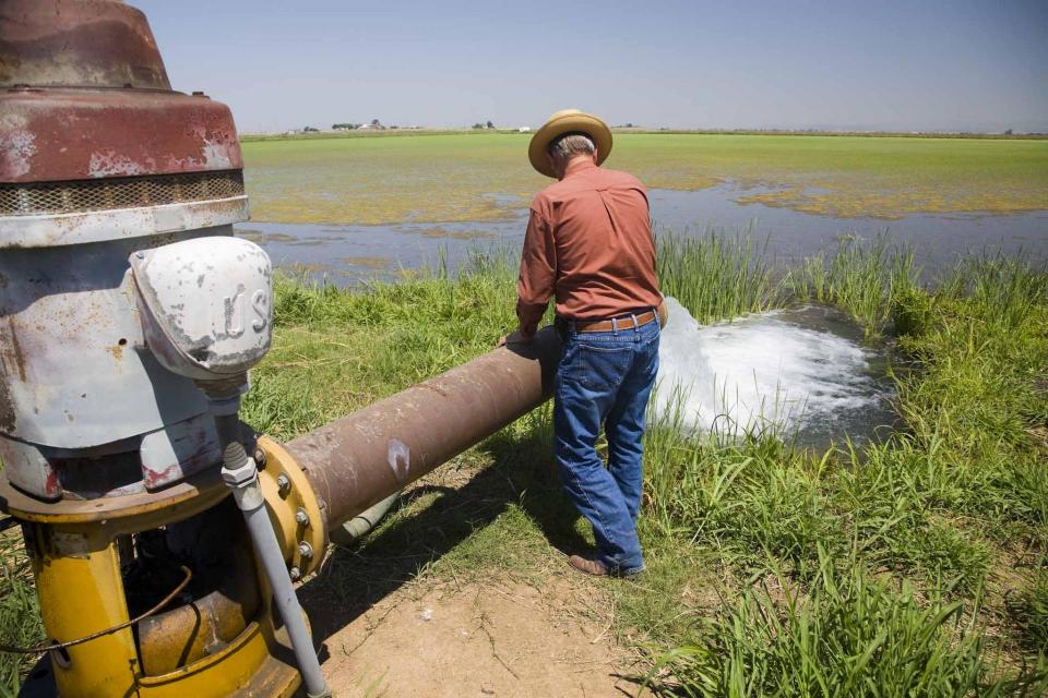
The return of fully planted rice crops to the Sacramento Valley
following years of drought has restored another essential
feature of the region. After harvest, reservoirs replenished by
last year’s historic storms enabled farmers to flood more of
their fields this winter, creating wetland habitat for
migrating waterfowl. … Today, around 300,000 acres of the
valley’s rice paddies are flooded each winter to provide food
and shelter for 7 million ducks and geese, according to the
California Rice Commission. More than 200 species of wildlife,
including threatened species such as Sandhill Cranes, rely on
the fields. Especially over the past decade, state and federal
programs have been developed to incentivize winter flooding,
defraying some of the cost, and rice farmers have embraced
their role in wildlife conservation.
As the permitting battle over the proposed Sites Reservoir
Project in Northern California heats up, it’s become clear that
the project would further heat up the atmosphere as well. Just
as California has made bold commitments to achieve carbon
neutrality in the next few decades, the state seems ready to
approve a dam project that would put that progress in jeopardy.
A new report, “Estimate of Greenhouse Gas Emissions for the
Proposed Sites Reservoir Project Using the All-Res Modeling
Tool,” created by a science team at my organization, Tell The
Dam Truth, exposes the climate impacts caused by this massive
dam and reservoir system. -Written by Gary Wockner, PhD, who directs Tell The
Dam Truth
This tour explored the Sacramento River and its tributaries through a scenic landscape while learning about the issues associated with a key source for the state’s water supply.
All together, the river and its tributaries supply 35 percent of California’s water and feed into two major projects: the State Water Project and the federal Central Valley Project.
Water Education Foundation
2151 River Plaza Drive, Suite 205
Sacramento, CA 95833
This tour explored the Sacramento River and its tributaries
through a scenic landscape while learning about the issues
associated with a key source for the state’s water supply.
All together, the river and its tributaries supply 35 percent of
California’s water and feed into two major projects: the State
Water Project and the federal Central Valley Project.
Water Education Foundation
2151 River Plaza Drive, Suite 205
Sacramento, CA 95833
This tour guided participants on a virtual exploration of the Sacramento River and its tributaries and learn about the issues associated with a key source for the state’s water supply.
All together, the river and its tributaries supply 35 percent of California’s water and feed into two major projects: the State Water Project and the federal Central Valley Project.
To survive the next drought and meet
the looming demands of the state’s groundwater sustainability
law, California is going to have to put more water back in the
ground. But as other Western states have found, recharging
overpumped aquifers is no easy task.
Successfully recharging aquifers could bring multiple benefits
for farms and wildlife and help restore the vital interconnection
between groundwater and rivers or streams. As local areas around
California draft their groundwater sustainability plans, though,
landowners in the hardest hit regions of the state know they will
have to reduce pumping to address the chronic overdraft in which
millions of acre-feet more are withdrawn than are naturally
recharged.
The deadliest and most destructive
wildfire in California history had a severe impact on the water
system in the town of Paradise. Participants on our Oct. 2-4
Northern California
Tour will hear from Kevin Phillips, general manager of
Paradise Irrigation District, on the scope of the damages, the
obstacles to recovery and the future of the water district.
The Camp Fire destroyed 90 percent of the structures in Paradise,
and 90 percent of the irrigation district’s ratepayer base. The
fire did not destroy the irrigation district’s water storage or
treatment facilities, but it did melt plastic pipes, releasing
contaminants into parts of the system and prompting do-not-drink
advisories to water customers.
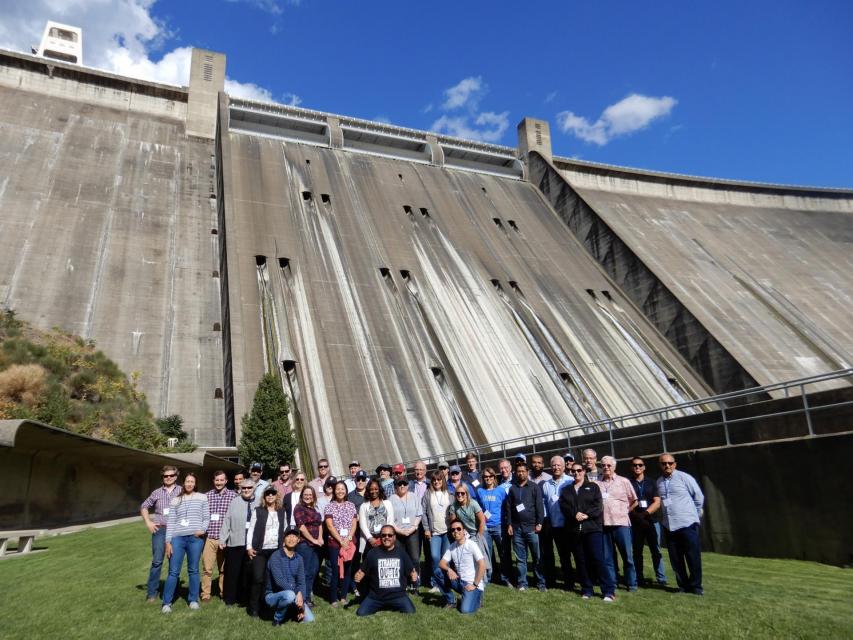
Get an up-close look at some of
California’s key water reservoirs and learn about farming
operations, salmon habitat restoration, flood management and
wetlands on our Northern California Water Tour Oct. 2-4.
Each year, participants on the tour enjoy three days exploring
the Sacramento Valley during the temperate fall. Join us as we
travel through a scenic landscape along the Sacramento and
Feather rivers to learn about issues associated with storing
and delivering the state’s water supply.
Bruce Babbitt, the former Arizona
governor and secretary of the Interior, has been a thoughtful,
provocative and sometimes forceful voice in some of the most
high-profile water conflicts over the last 40 years, including
groundwater management in Arizona and the reduction of
California’s take of the Colorado River. In 2016, former
California Gov. Jerry Brown named Babbitt as a special adviser to
work on matters relating to the Sacramento-San Joaquin Delta and
the Delta tunnels plan.
This tour explored the Sacramento River and its tributaries
through a scenic landscape as participants learned about the
issues associated with a key source for the state’s water supply.
All together, the river and its tributaries supply 35 percent of
California’s water and feed into two major projects: the State
Water Project and the federal Central Valley Project. Tour
participants got an on-site update of Oroville Dam spillway
repairs.
There’s going to be a new governor
in California next year – and a host of challenges both old and
new involving the state’s most vital natural resource, water.
So what should be the next governor’s water priorities?
That was one of the questions put to more than 150 participants
during a wrap-up session at the end of the Water Education
Foundation’s Sept. 20 Water Summit in Sacramento.
An hour’s drive north of Sacramento sits a picture-perfect valley hugging the eastern foothills of Northern California’s Coast Range, with golden hills framing grasslands mostly used for cattle grazing.
Back in the late 1800s, pioneer John Sites built his ranch there and a small township, now gone, bore his name. Today, the community of a handful of families and ranchers still maintains a proud heritage.
Farmers in the Central Valley are broiling about California’s plan to increase flows in the Sacramento and San Joaquin river systems to help struggling salmon runs avoid extinction. But in one corner of the fertile breadbasket, River Garden Farms is taking part in some extraordinary efforts to provide the embattled fish with refuge from predators and enough food to eat.
And while there is no direct benefit to one farm’s voluntary actions, the belief is what’s good for the fish is good for the farmers.
The Sacramento and San Joaquin
rivers are the two major Central Valley waterways that feed the
Delta, the hub of California’s water supply
network. Our last water tours of
2018 will look in-depth at how these rivers are managed and
used for agriculture, cities and the environment. You’ll see
infrastructure, learn about efforts to restore salmon runs and
talk to people with expertise on these rivers.
Get an up-close look at some of
California’s key water reservoirs and learn about farming
operations, habitat restoration, flood management and wetlands in
the Sacramento Valley on our Northern California Water Tour
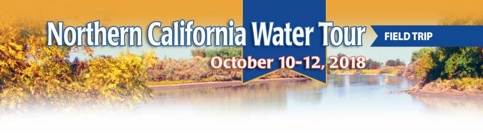
Oct. 10-12.
Each year, participants on the Northern California Water Tour
enjoy three days exploring the Sacramento Valley during the
temperate fall. Join us as we travel through a scenic landscape
along the Sacramento and Feather rivers to learn about
issues associated with storing and delivering the state’s water
supply.
More than a decade in the making, an
ambitious plan to deal with the vexing problem of salt and
nitrates in the soils that seep into key groundwater basins of
the Central Valley is moving toward implementation. But its
authors are not who you might expect.
An unusual collaboration of agricultural interests, cities, water
agencies and environmental justice advocates collaborated for
years to find common ground to address a set of problems that
have rendered family wells undrinkable and some soil virtually
unusable for farming.
New water storage is the holy grail
primarily for agricultural interests in California, and in 2014
the door to achieving long-held ambitions opened with the passage
of Proposition
1, which included $2.7 billion for the public benefits
portion of new reservoirs and groundwater storage projects. The
statute stipulated that the money is specifically for the
benefits that a new storage project would offer to the ecosystem,
water quality, flood control, emergency response and recreation.
Despite the heat that often
accompanies debates over setting aside water for the environment,
there are instances where California stakeholders have forged
agreements to provide guaranteed water for fish. Here are two
examples cited by the Public Policy Institute of California in
its report arguing for an environmental water right.
This tour explored the Sacramento River and its tributaries
through a scenic landscape as participants learned about the
issues associated with a key source for the state’s water supply.
All together, the river and its tributaries supply 35 percent of
California’s water and feed into two major projects: the State
Water Project and the federal Central Valley Project. Tour
participants got an on-site update of repair efforts on the
Oroville Dam spillway.
This tour explored the Sacramento River and its tributaries
through a scenic landscape as we learned about the issues
associated with a key source for the state’s water supply. All
together, the river and its tributaries supply 35 percent of
California’s water and feed into two major projects: the State
Water Project and the federal Central Valley Project. This year,
special attention was paid to the flood event at Oroville Dam and
the efforts to repair the dam spillway before the next rainy
season.
The Sacramento and San Joaquin are the two major rivers in the
Central Valley that feed the Delta, the hub of
California’s water supply network.
Our last two water tours of 2017 will take in-depth looks at how
these rivers are managed and used for agriculture, cities and the
environment. You’ll see infrastructure, learn about efforts to
restore salmon runs and talk to people with expertise on these
rivers.
Each year, participants on the Northern California Water Tour
enjoy three days exploring the Sacramento Valley during the
temperate fall. Join us as we travel along the Sacramento and
Feather rivers through a scenic landscape and learn about
issues associated with storing and delivering the state’s water
supply.
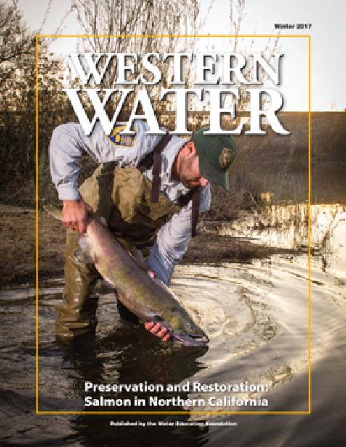
Protecting and restoring California’s populations of threatened
and endangered Chinook salmon and steelhead trout have been a big
part of the state’s water management picture for more than 20
years. Significant resources have been dedicated to helping the
various runs of the iconic fish, with successes and setbacks. In
a landscape dramatically altered from its natural setting,
finding a balance between the competing demands for water is
challenging.
ARkStorm stands for an atmospheric
river (“AR”) that carries precipitation levels expected to occur
once every 1,000 years (“k”). The concept was presented in a 2011
report by the U.S. Geological Survey (USGS) intended to elevate
the visibility of the very real threats to human life, property
and ecosystems posed by extreme storms on the West Coast.
Butte Creek, a tributary of the
Sacramento River, begins less than 50 miles northeast of Chico,
California and is named after nearby volcanic plateaus or
“buttes.” The cold, clear waters of the 93-mile creek sustain the
largest naturally spawning wild population of spring-run chinook salmon in the Central Valley.
Several other native fish species are found in Butte Creek,
including Pacific lamprey and Sacramento pikeminnow.
California entered a new era of
groundwater management in 2014 with the passage of the
Sustainable Groundwater Management Act (SGMA), becoming the last
state in the arid West to enact some kind of comprehensive
groundwater
management program.
The proposed Sites Reservoir would
be a 1.5 million-acre-foot off-river storage basin on the west
side of the Sacramento Valley, about 78 miles northwest of
Sacramento. It would capture stormwater flows from the Sacramento River for release in
dry years for fish and wildlife, farms, communities and
businesses.
This handbook provides crucial
background information on the Sustainable Groundwater Management
Act, signed into law in 2014 by Gov. Jerry Brown. The handbook
also includes a section on options for new governance.
This 24-page booklet traces the development of the
landmark Water Forum Agreement, signed in April 2000 by 40
Sacramento region water purveyors, public officials, community
group leaders, environmentalists and business representatives.
The publication also offers insight on lessons learned by
Water Forum participants.
This 24-page booklet details the conflict between
environmentalists, fish organizations and the Yuba County Water
Agency and how it was resolved through the Lower Yuba River
Accord – a unique agreement supported by 18 agencies and
non-governmental organizations. The publication details
the history and hydrology of the Yuba River, past and present
environmental concerns, and conflicts over dam operations and
protecting endangered fish is included.
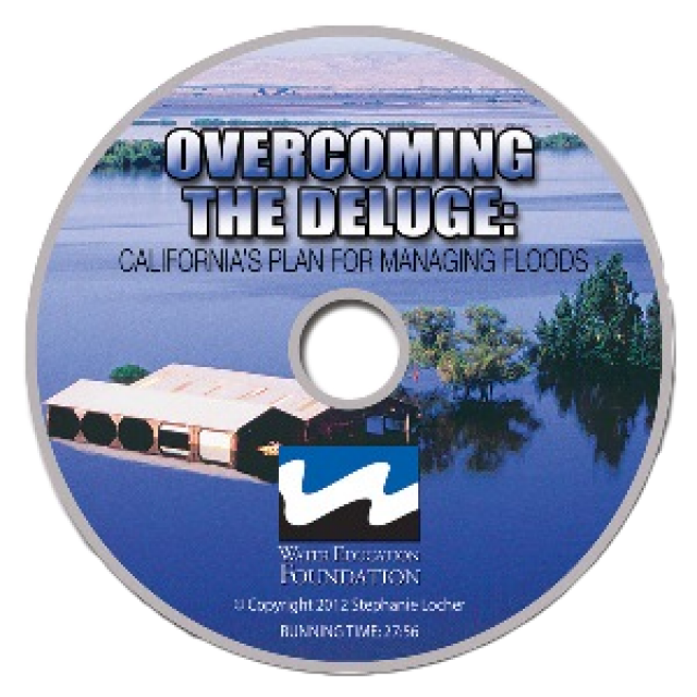
This 30-minute documentary, produced in 2011, explores the past,
present and future of flood management in California’s Central
Valley. It features stories from residents who have experienced
the devastating effects of a California flood firsthand.
Interviews with long-time Central Valley water experts from
California Department of Water Resources (FloodSAFE), U.S. Army
Corps of Engineers, Bureau of Reclamation, Central Valley Flood
Management Program and environmental groups are featured as they
discuss current efforts to improve the state’s 150-year old flood
protection system and develop a sustainable, integrated, holistic
flood management plan for the Central Valley.
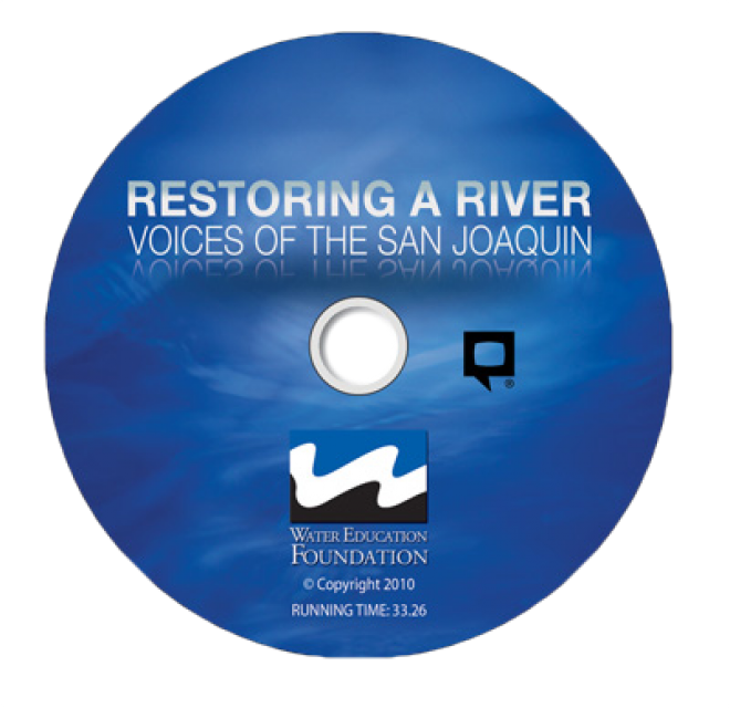
This 30-minute documentary-style DVD on the history and current
state of the San Joaquin River Restoration Program includes an
overview of the geography and history of the river, historical
and current water delivery and uses, the genesis and timeline of
the 1988 lawsuit, how the settlement was reached and what was
agreed to.
This 25-minute documentary-style DVD, developed in partnership
with the California Department of Water Resources, provides an
excellent overview of climate change and how it is already
affecting California. The DVD also explains what scientists
anticipate in the future related to sea level rise and
precipitation/runoff changes and explores the efforts that are
underway to plan and adapt to climate.
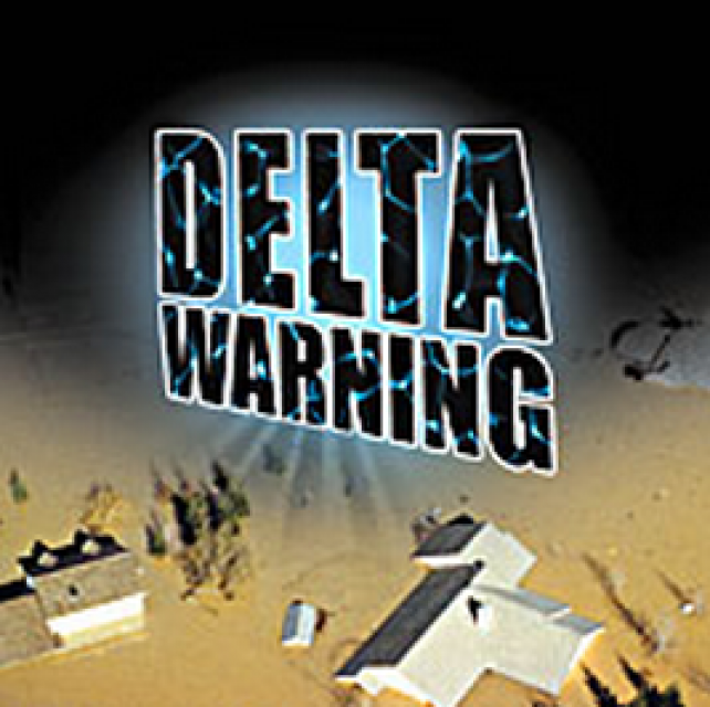
15-minute DVD that graphically portrays the potential disaster
should a major earthquake hit the Sacramento-San Joaquin Delta.
“Delta Warning” depicts what would happen in the event of an
earthquake registering 6.5 on the Richter scale: 30 levee breaks,
16 flooded islands and a 300 billion gallon intrusion of salt
water from the Bay – the “big gulp” – which would shut down the
State Water Project and Central Valley Project pumping plants.
30-minute DVD that traces the history of the U.S. Bureau of
Reclamation and its role in the development of the West. Includes
extensive historic footage of farming and the construction of
dams and other water projects, and discusses historic and modern
day issues.
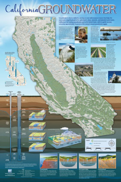
Fashioned after the popular California Water Map, this 24×36-inch
poster was extensively re-designed in 2017 to better illustrate
the value and use of groundwater in California, the main types of
aquifers, and the connection between groundwater and surface
water.
The 24-page Layperson’s Guide to the State Water Project provides
an overview of the California-funded and constructed State Water
Project.
The State Water Project is best known for the 444-mile-long
aqueduct that provides water from the Delta to San Joaquin Valley
agriculture and southern California cities. The guide contains
information about the project’s history and facilities.
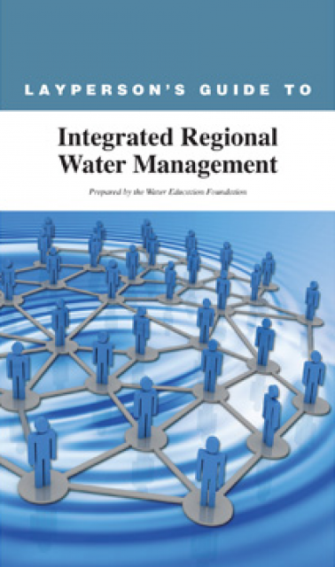
The 24-page Layperson’s Guide to Integrated Regional Water
Management (IRWM) is an in-depth, easy-to-understand publication
that provides background information on the principles of IRWM,
its funding history and how it differs from the traditional water
management approach.
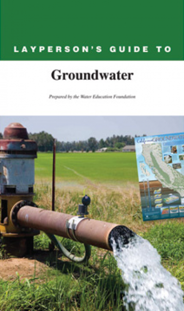
The 28-page Layperson’s Guide to Groundwater is an in-depth,
easy-to-understand publication that provides background and
perspective on groundwater. The guide explains what groundwater
is – not an underground network of rivers and lakes! – and the
history of its use in California.
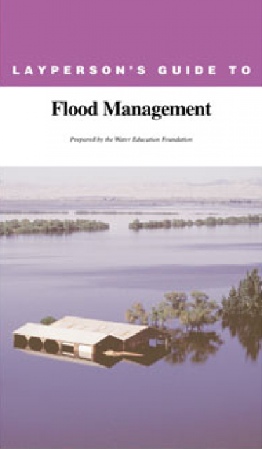
The 24-page Layperson’s Guide to Flood Management explains the
physical flood control system, including levees; discusses
previous flood events (including the 1997 flooding); explores
issues of floodplain management and development; provides an
overview of flood forecasting; and outlines ongoing flood control
projects.
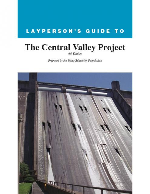
The 24-page Layperson’s Guide to the Central Valley Project
explores the history and development of the federal Central
Valley Project (CVP), California’s largest surface water delivery
system. In addition to the project’s history, the guide describes
the various facilities, operations and benefits the water
project brings to the state along with the CVP
Improvement Act (CVPIA).
A new look for our most popular product! And it’s the perfect
gift for the water wonk in your life.
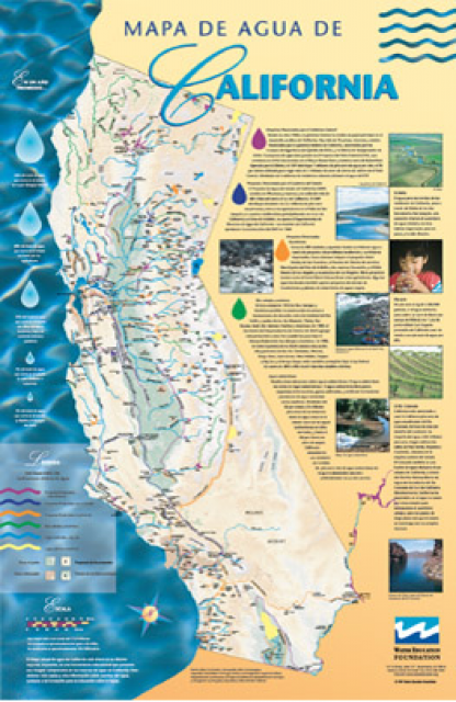
Our 24×36-inch California Water Map is widely known for being the
definitive poster that shows the integral role water plays in the
state. On this updated version, it is easier to see California’s
natural waterways and man-made reservoirs and aqueducts
– including federally, state and locally funded
projects – the wild and scenic rivers system, and
natural lakes. The map features beautiful photos of
California’s natural environment, rivers, water projects,
wildlife, and urban and agricultural uses and the
text focuses on key issues: water supply, water use, water
projects, the Delta, wild and scenic rivers and the Colorado
River.
The Pacific Flyway is one of four
major North American migration routes for birds, especially
waterbirds, and stretches from Alaska in the north
to Patagonia in South America.
Each year, birds follow ancestral patterns as they travel the
flyway on their annual north-south migration. Along the way, they
need stopover sites such as wetlands with suitable habitat and
food supplies. In California, 95 percent of historic
wetlands have been lost, yet the Central Valley hosts some of the
world’s largest populations of wintering birds.
This issue of Western Water looks at the BDCP and the
Coalition to Support Delta Projects, issues that are aimed at
improving the health and safety of the Delta while solidifying
California’s long-term water supply reliability.
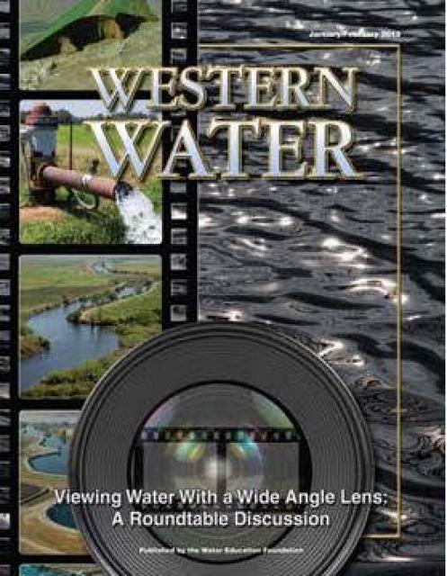
This printed issue of Western Water features a
roundtable discussion with Anthony Saracino, a water resources
consultant; Martha Davis, executive manager of policy development
with the Inland Empire Utilities Agency and senior policy advisor
to the Delta Stewardship Council; Stuart Leavenworth, editorial
page editor of The Sacramento Bee and Ellen Hanak, co-director of
research and senior fellow at the Public Policy Institute of
California.
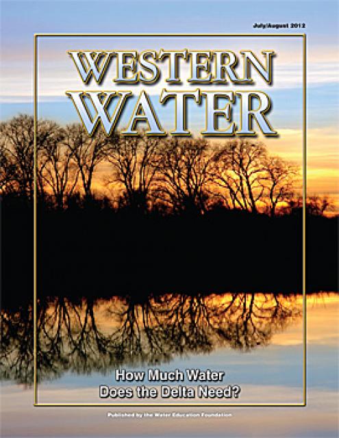
This printed issue of Western Water examines the issues
associated with the State Water Board’s proposed revision of the
water quality Bay-Delta Plan, most notably the question of
whether additional flows are needed for the system, and how they
might be provided.
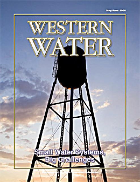
This printed copy of Western Water examines the challenges facing
small water systems, including drought preparedness, limited
operating expenses and the hurdles of complying with costlier
regulations. Much of the article is based on presentations at the
November 2007 Small Systems Conference sponsored by the Water
Education Foundation and the California Department of Water
Resources.


")

")

")
")
")
")
")
")


")