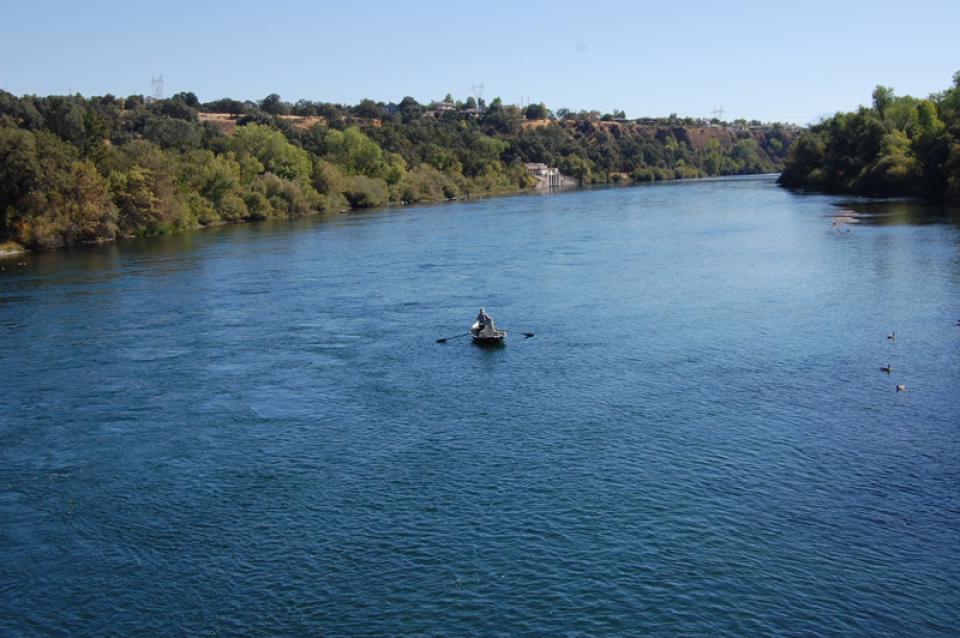
The Sacramento River is California’s
largest river, providing 35 percent of the state’s developed
water supply. The river helps support the valley’s millions of
acres of irrigated agriculture and is home to wildlife and a
range of aquatic species, including rearing habitat for 70
percent of all salmon caught off the California coast.
Once called “the Nile of the West,” the Sacramento River drains
the inland slopes of the Klamath Mountains, the Cascade Range,
the Coast Ranges and the western slopes of the northern Sierra
Nevada. The river stretches some 384 miles from its headwaters
near Mount Shasta to the Sacramento-San Joaquin Delta.
There are a few locations where anglers congregate
shoulder-to-shoulder to toss spinners in search of salmon, and
for the first time since 2022, bankies will have the ability to
wear out a shoulder and avoid flying hooks starting July 16
from the Carquinez Bridge east to the Woodson Bridge on the
Sacramento River. … There was a season on the Mokelumne,
American, and Feather Rivers in 2025, but the main river, the
Sacramento, was off limits due to the extremely poor
salmon returns to the upper river in 2022. This year’s
returns on the Sacramento are also threatened by water releases
out of Shasta Dam. In addition to the Sacramento River, inland
anglers will enjoy a full season on the Feather,
American and Mokelumne rivers. For the Central Valley,
the general fall-run salmon fishing season will open on July 16
and close on Dec. 16.
The House of Transportation and Infrastructure Committee
approved on July 1 the authorization of $155 million under the
latest Water Resources and Development Act (WRDA) bill to
support the Sacramento River Basin, newly elected Congressman
James Gallagher (CA-01) announced. The authorization is part of
the House Water Resource Development Act (WRDA) 2026 bill,
which operates through the U.S. Army Corps of Engineers’
Environmental Infrastructure program. … If the WRDA 2026
bill passes, the $155 million would support the basin’s
water and wastewater infrastructure, environmental restoration
and surface water protection. It would support
environmental restoration meant to improve drought resilience,
salmon recovery, and bird migration without increasing flood
risk.
The Golden State Salmon Association rang the alarm that the
Bureau of Reclamation intends to manage Shasta Dam this fall in
a way that could once again cook the Sacramento River’s next
generation of Chinook. The dispute centers on cold
water. Salmon eggs need it to survive the fall
spawning season, and a federal biological opinion requires the
Bureau to hold enough behind Shasta Dam to keep temperatures
safe. The State Water Resources Control Board rejected the
Bureau’s management plan on June 10, ruling it would violate
both that opinion and state temperature law. According to
the association, the Bureau has signaled it will proceed
anyway, draining extra water to boost summer deliveries to
Central Valley farms.
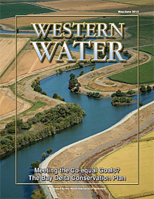
The 24-page Layperson’s Guide to the Delta explores the competing
uses and demands on California’s Sacramento-San Joaquin
Delta. The 11th edition examines this critical
water hub and its myriad challenges. The 2025 version
includes the latest information on the tunnel project, habitat
restoration efforts, climate change impacts and an updated
section on the legal and political facets of the Delta.
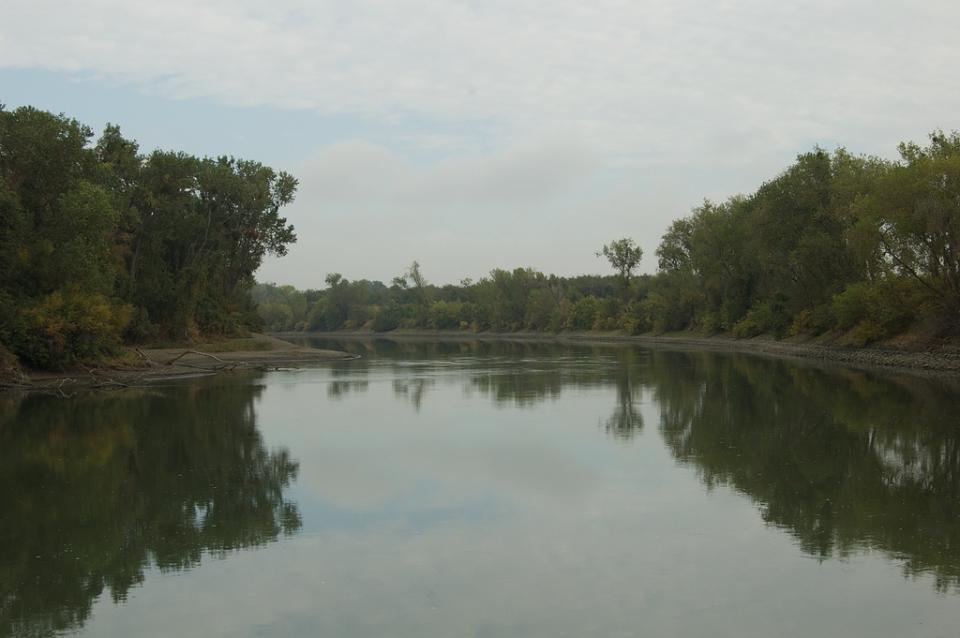
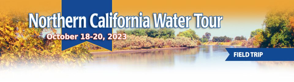
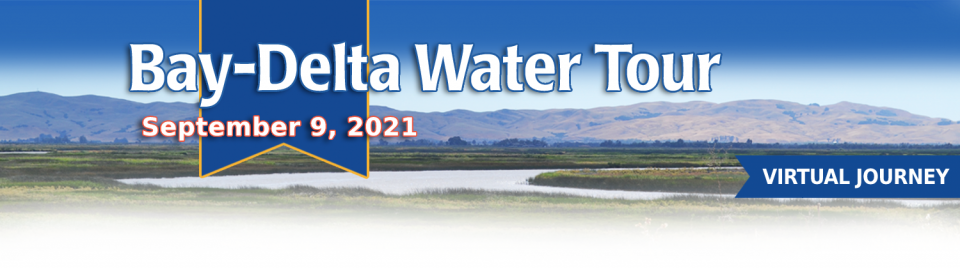
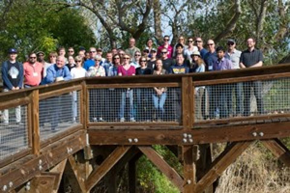
This tour explored the Sacramento River and its tributaries through a scenic landscape while learning about the issues associated with a key source for the state’s water supply.
All together, the river and its tributaries supply 35 percent of California’s water and feed into two major projects: the State Water Project and the federal Central Valley Project.
Water Education Foundation
2151 River Plaza Drive, Suite 205
Sacramento, CA 95833
Partners have pulled together to support the recovery of
endangered Sacramento winter-run Chinook salmon in the last few
years. However, the species still faces threats from climate
change and other factors. That is the conclusion of an
Endangered Species Act review that NOAA Fisheries completed for
the native California species. It once returned in great
numbers to the tributaries of the Sacramento River and
supported local tribes. The review concluded that the species
remains endangered, and identified key recovery actions to help
the species survive climate change. While partners have taken
steps to protect winter-run Chinook salmon, blocked habitat,
altered flows, and higher temperatures continue to threaten
their survival.
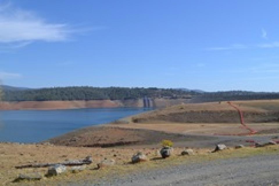
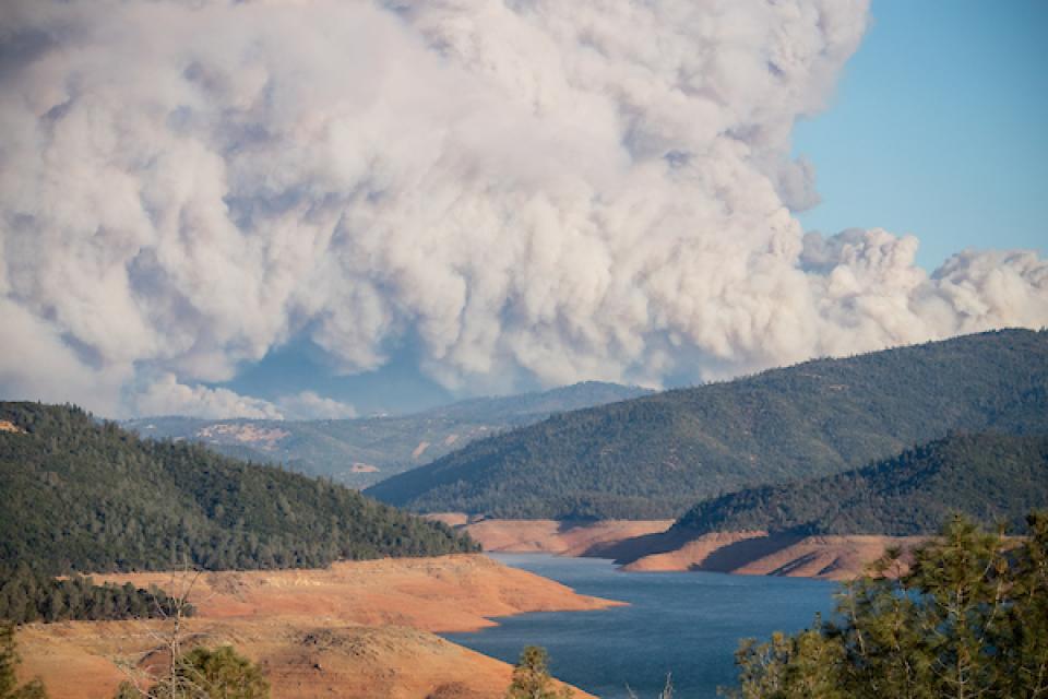
The continued wet weather in the Northstate has left quite an
impact at Shasta Lake. California’s largest reservoir rose a
foot from Thursday to Friday, and 5 feet from January 26 to
February 2. Currently, Shasta Lake sits at 1,035 feet, roughly
30 feet from capacity. That’s an increase of 47 feet from this
date last year. … Overall, the weather station at Shasta
Dam has reported 36.56 inches of rain since the water year
began on October 1.
As the permitting battle over the proposed Sites Reservoir
Project in Northern California heats up, it’s become clear that
the project would further heat up the atmosphere as well. Just
as California has made bold commitments to achieve carbon
neutrality in the next few decades, the state seems ready to
approve a dam project that would put that progress in jeopardy.
A new report, “Estimate of Greenhouse Gas Emissions for the
Proposed Sites Reservoir Project Using the All-Res Modeling
Tool,” created by a science team at my organization, Tell The
Dam Truth, exposes the climate impacts caused by this massive
dam and reservoir system. -Written by Gary Wockner, PhD, who directs Tell The
Dam Truth
This tour explored the Sacramento River and its tributaries through a scenic landscape while learning about the issues associated with a key source for the state’s water supply.
All together, the river and its tributaries supply 35 percent of California’s water and feed into two major projects: the State Water Project and the federal Central Valley Project.
Water Education Foundation
2151 River Plaza Drive, Suite 205
Sacramento, CA 95833
Growing up in the shadow of the
Rocky Mountains, Andrew Schwartz never missed an opportunity to
play in – or study – a Colorado snowstorm. During major
blizzards, he would traipse out into the icy wind and heavy
drifts of snow pretending to be a scientist researching in
Antarctica.
Decades later, still armed with an obsession for extreme weather,
Schwartz has landed in one of the snowiest places in the West,
leading a research lab whose mission is to give California water
managers instant information on the depth and quality of snow
draping the slopes of the Sierra Nevada.
This tour explored the Sacramento River and its tributaries through a scenic landscape while learning about the issues associated with a key source for the state’s water supply.
All together, the river and its tributaries supply 35 percent of California’s water and feed into two major projects: the State Water Project and the federal Central Valley Project.
Water Education Foundation
2151 River Plaza Drive, Suite 205
Sacramento, CA 95833
This tour explored the Sacramento River and its tributaries
through a scenic landscape while learning about the issues
associated with a key source for the state’s water supply.
All together, the river and its tributaries supply 35 percent of
California’s water and feed into two major projects: the State
Water Project and the federal Central Valley Project.
Water Education Foundation
2151 River Plaza Drive, Suite 205
Sacramento, CA 95833
In the vast labyrinth of the West
Coast’s largest freshwater tidal estuary, one native fish species
has never been so rare. Once uncountably numerous, the Delta
smelt was placed on state and federal endangered species lists in
1993, stopped appearing in most annual sampling surveys in 2016,
and is now, for all practical purposes, extinct in the wild. At
least, it was.
Land and waterway managers labored
hard over the course of a century to control California’s unruly
rivers by building dams and levees to slow and contain their
water. Now, farmers, environmentalists and agencies are undoing
some of that work as part of an accelerating campaign to restore
the state’s major floodplains.
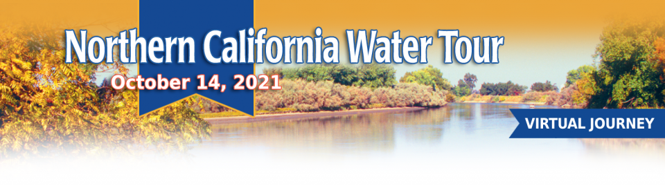
This tour guided participants on a virtual exploration of the Sacramento River and its tributaries and learn about the issues associated with a key source for the state’s water supply.
All together, the river and its tributaries supply 35 percent of California’s water and feed into two major projects: the State Water Project and the federal Central Valley Project.
This tour guided participants on a virtual journey deep into California’s most crucial water and ecological resource – the Sacramento-San Joaquin Delta. The 720,000-acre network of islands and canals support the state’s two major water systems – the State Water Project and the Central Valley Project. The Delta and the connecting San Francisco Bay form the largest freshwater tidal estuary of its kind on the West coast.
USACE Sacramento District has a proven track record of facing
challenges head-on. When 2020 brought with it the Novel
Coronavirus, the District responded quickly to address the
needs of a rapidly changing work environment…This year marked
the start of major construction on the [American River Common
Features] project, and the pandemic hit just as crews were
mobilizing, meaning both USACE and its contractors faced
unexpected public impacts.
Voluntary agreements in California
have been touted as an innovative and flexible way to improve
environmental conditions in the Sacramento-San Joaquin Delta
and the rivers that feed it. The goal is to provide river flows
and habitat for fish while still allowing enough water to be
diverted for farms and cities in a way that satisfies state
regulators.
California is chock full of rivers and creeks, yet the state’s network of stream gauges has significant gaps that limit real-time tracking of how much water is flowing downstream, information that is vital for flood protection, forecasting water supplies and knowing what the future might bring.
That network of stream gauges got a big boost Sept. 30 with the signing of SB 19. Authored by Sen. Bill Dodd (D-Napa), the law requires the state to develop a stream gauge deployment plan, focusing on reactivating existing gauges that have been offline for lack of funding and other reasons. Nearly half of California’s stream gauges are dormant.
The deadliest and most destructive
wildfire in California history had a severe impact on the water
system in the town of Paradise. Participants on our Oct. 2-4
Northern California
Tour will hear from Kevin Phillips, general manager of
Paradise Irrigation District, on the scope of the damages, the
obstacles to recovery and the future of the water district.
The Camp Fire destroyed 90 percent of the structures in Paradise,
and 90 percent of the irrigation district’s ratepayer base. The
fire did not destroy the irrigation district’s water storage or
treatment facilities, but it did melt plastic pipes, releasing
contaminants into parts of the system and prompting do-not-drink
advisories to water customers.
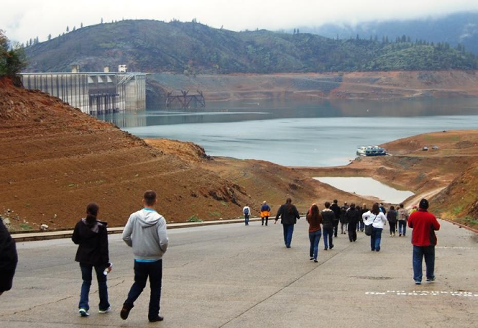
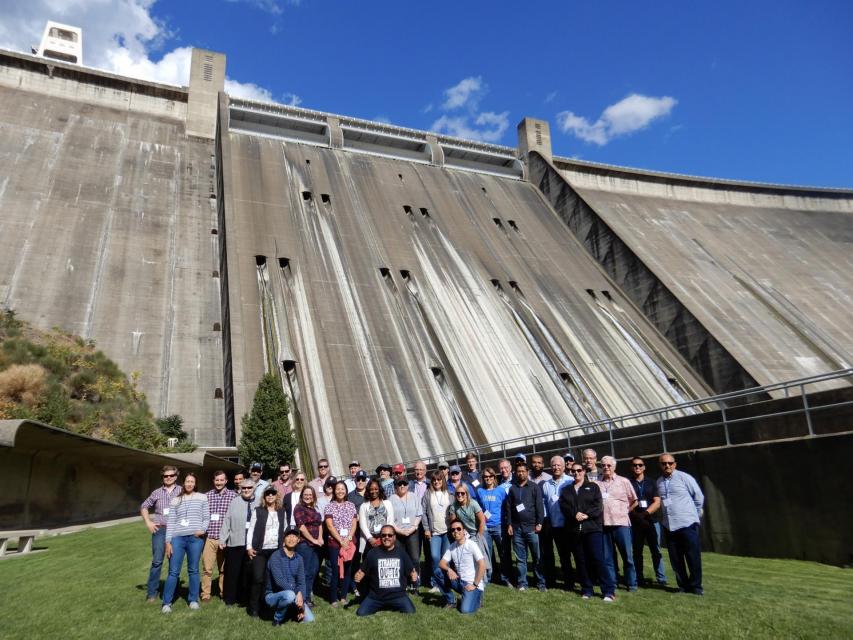
Get an up-close look at some of
California’s key water reservoirs and learn about farming
operations, salmon habitat restoration, flood management and
wetlands on our Northern California Water Tour Oct. 2-4.
Each year, participants on the tour enjoy three days exploring
the Sacramento Valley during the temperate fall. Join us as we
travel through a scenic landscape along the Sacramento and
Feather rivers to learn about issues associated with storing
and delivering the state’s water supply.
One of California Gov. Gavin
Newsom’s first actions after taking office was to appoint Wade
Crowfoot as Natural Resources Agency secretary. Then, within
weeks, the governor laid out an ambitious water agenda that
Crowfoot, 45, is now charged with executing.
That agenda includes the governor’s desire for a “fresh approach”
on water, scaling back the conveyance plan in the Sacramento-San
Joaquin Delta and calling for more water recycling, expanded
floodplains in the Central Valley and more groundwater recharge.
Bruce Babbitt, the former Arizona
governor and secretary of the Interior, has been a thoughtful,
provocative and sometimes forceful voice in some of the most
high-profile water conflicts over the last 40 years, including
groundwater management in Arizona and the reduction of
California’s take of the Colorado River. In 2016, former
California Gov. Jerry Brown named Babbitt as a special adviser to
work on matters relating to the Sacramento-San Joaquin Delta and
the Delta tunnels plan.
The growing leadership of women in water. The Colorado River’s persistent drought and efforts to sign off on a plan to avert worse shortfalls of water from the river. And in California’s Central Valley, promising solutions to vexing water resource challenges.
These were among the topics that Western Water news explored in 2018.
We’re already planning a full slate of stories for 2019. You can sign up here to be alerted when new stories are published. In the meantime, take a look at what we dove into in 2018:
This tour explored the Sacramento River and its tributaries
through a scenic landscape as participants learned about the
issues associated with a key source for the state’s water supply.
All together, the river and its tributaries supply 35 percent of
California’s water and feed into two major projects: the State
Water Project and the federal Central Valley Project. Tour
participants got an on-site update of Oroville Dam spillway
repairs.
The Colorado River Basin is more
than likely headed to unprecedented shortage in 2020 that could
force supply cuts to some states, but work is “furiously”
underway to reduce the risk and avert a crisis, Bureau of
Reclamation Commissioner Brenda Burman told an audience of
California water industry people.
During a keynote address at the Water Education Foundation’s
Sept. 20 Water Summit in Sacramento, Burman said there is
opportunity for Colorado River Basin states to control their
destiny, but acknowledged that in water, there are no guarantees
that agreement can be reached.
An hour’s drive north of Sacramento sits a picture-perfect valley hugging the eastern foothills of Northern California’s Coast Range, with golden hills framing grasslands mostly used for cattle grazing.
Back in the late 1800s, pioneer John Sites built his ranch there and a small township, now gone, bore his name. Today, the community of a handful of families and ranchers still maintains a proud heritage.
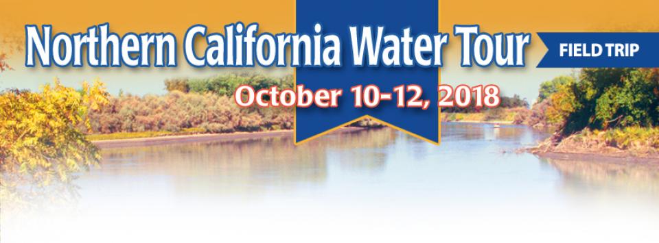
Farmers in the Central Valley are broiling about California’s plan to increase flows in the Sacramento and San Joaquin river systems to help struggling salmon runs avoid extinction. But in one corner of the fertile breadbasket, River Garden Farms is taking part in some extraordinary efforts to provide the embattled fish with refuge from predators and enough food to eat.
And while there is no direct benefit to one farm’s voluntary actions, the belief is what’s good for the fish is good for the farmers.
The Sacramento and San Joaquin
rivers are the two major Central Valley waterways that feed the
Delta, the hub of California’s water supply
network. Our last water tours of
2018 will look in-depth at how these rivers are managed and
used for agriculture, cities and the environment. You’ll see
infrastructure, learn about efforts to restore salmon runs and
talk to people with expertise on these rivers.
Get an up-close look at some of
California’s key water reservoirs and learn about farming
operations, habitat restoration, flood management and wetlands in
the Sacramento Valley on our Northern California Water Tour
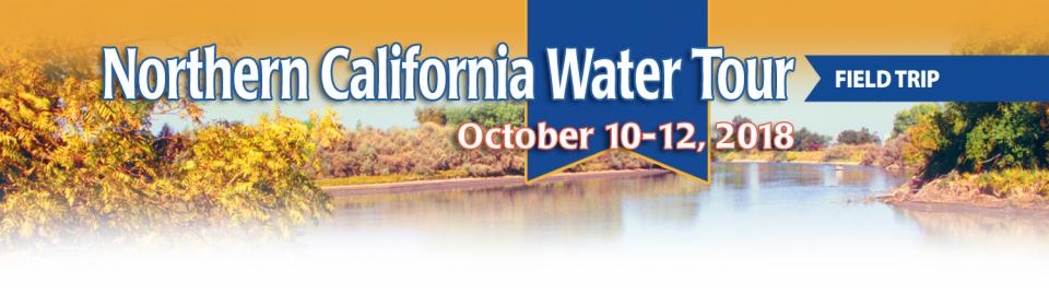
Oct. 10-12.
Each year, participants on the Northern California Water Tour
enjoy three days exploring the Sacramento Valley during the
temperate fall. Join us as we travel through a scenic landscape
along the Sacramento and Feather rivers to learn about
issues associated with storing and delivering the state’s water
supply.
New water storage is the holy grail
primarily for agricultural interests in California, and in 2014
the door to achieving long-held ambitions opened with the passage
of Proposition
1, which included $2.7 billion for the public benefits
portion of new reservoirs and groundwater storage projects. The
statute stipulated that the money is specifically for the
benefits that a new storage project would offer to the ecosystem,
water quality, flood control, emergency response and recreation.
For more than 100 years, invasive
species have made the Sacramento-San Joaquin Delta their home,
disrupting the ecosystem and costing millions of dollars annually
in remediation.
The latest invader is the nutria, a large rodent native to South
America that causes concern because of its propensity to devour
every bit of vegetation in sight and destabilize levees by
burrowing into them. Wildlife officials are trapping the animal
and trying to learn the extent of its infestation.
Along the banks of the
Sacramento-San Joaquin Delta in Oakley, about 50 miles southwest
of Sacramento, is a park that harkens back to the days when the
Delta lured Native Americans, Spanish explorers, French fur
trappers, and later farmers to its abundant wildlife and rich
soil.
That historical Delta was an enormous marsh linked to the two
freshwater rivers entering from the north and south, and tidal
flows coming from the San Francisco Bay. After the Gold Rush,
settlers began building levees and farms, changing the landscape
and altering the habitat.
Despite the heat that often
accompanies debates over setting aside water for the environment,
there are instances where California stakeholders have forged
agreements to provide guaranteed water for fish. Here are two
examples cited by the Public Policy Institute of California in
its report arguing for an environmental water right.
Does California need to revamp the way in which water is dedicated to the environment to better protect fish and the ecosystem at large? In the hypersensitive world of California water, where differences over who gets what can result in epic legislative and legal battles, the idea sparks a combination of fear, uncertainty and promise.
Saying that the way California manages water for the environment “isn’t working for anyone,” the Public Policy Institute of California (PPIC) shook things up late last year by proposing a redesigned regulatory system featuring what they described as water ecosystem plans and water budgets with allocations set aside for the environment.
This tour explored the Sacramento River and its tributaries
through a scenic landscape as participants learned about the
issues associated with a key source for the state’s water supply.
All together, the river and its tributaries supply 35 percent of
California’s water and feed into two major projects: the State
Water Project and the federal Central Valley Project. Tour
participants got an on-site update of repair efforts on the
Oroville Dam spillway.
The Sacramento and San Joaquin are the two major rivers in the
Central Valley that feed the Delta, the hub of
California’s water supply network.
Our last two water tours of 2017 will take in-depth looks at how
these rivers are managed and used for agriculture, cities and the
environment. You’ll see infrastructure, learn about efforts to
restore salmon runs and talk to people with expertise on these
rivers.
Each year, participants on the Northern California Water Tour
enjoy three days exploring the Sacramento Valley during the
temperate fall. Join us as we travel along the Sacramento and
Feather rivers through a scenic landscape and learn about
issues associated with storing and delivering the state’s water
supply.
Before dams were built on the upper
Sacramento River, flood water regularly carried woody debris that
was an important part of the aquatic habitat.
Deprived of this refuge, salmon in the lower parts of the upper
Sacramento River have had a difficult time surviving and making
it down the river and out to the ocean. Seeing this, a group of
people, including water users, decided to lend a hand with an
unprecedented pilot project that saw massive walnut tree trunks
affixed to 12,000-pound boulders and deposited into the deepest
part of the Sacramento River near Redding to provide shelter for
young salmon and steelhead migrating downstream.
Protecting and restoring California’s populations of threatened
and endangered Chinook salmon and steelhead trout have been a big
part of the state’s water management picture for more than 20
years. Significant resources have been dedicated to helping the
various runs of the iconic fish, with successes and setbacks. In
a landscape dramatically altered from its natural setting,
finding a balance between the competing demands for water is
challenging.
Butte Creek, a tributary of the
Sacramento River, begins less than 50 miles northeast of Chico,
California and is named after nearby volcanic plateaus or
“buttes.” The cold, clear waters of the 93-mile creek sustain the
largest naturally spawning wild population of spring-run chinook salmon in the Central Valley.
Several other native fish species are found in Butte Creek,
including Pacific lamprey and Sacramento pikeminnow.
Whiskeytown Lake, a major reservoir in the foothills of the
Klamath Mountains nine miles west of Redding, was
built at the site of one of Shasta County’s first Gold Rush
communities. Whiskeytown, originally called Whiskey Creek
Diggings, was founded in 1849 and named in reference to a whiskey
barrel rolling off a citizen’s pack mule; it may also refer to
miners drinking a barrel per day.
Headwaters are the source of a
stream or river. They are located at the furthest point from
where the water body empties or merges with
another. Two-thirds of California’s surface water supply
originates in these mountainous and typically forested regions.
The American River originates high
in the Sierra Nevada just west of Lake Tahoe, in the Tahoe and
Eldorado national forests.
The birthplace of the California Gold Rush, the river today is a
prime recreational destination and a major water supply source
for the federal Central Valley Project.
The proposed Sites Reservoir would
be a 1.5 million-acre-foot off-river storage basin on the west
side of the Sacramento Valley, about 78 miles northwest of
Sacramento. It would capture stormwater flows from the Sacramento River for release in
dry years for fish and wildlife, farms, communities and
businesses.
This 30-minute documentary-style DVD on the history and current
state of the San Joaquin River Restoration Program includes an
overview of the geography and history of the river, historical
and current water delivery and uses, the genesis and timeline of
the 1988 lawsuit, how the settlement was reached and what was
agreed to.
This 25-minute documentary-style DVD, developed in partnership
with the California Department of Water Resources, provides an
excellent overview of climate change and how it is already
affecting California. The DVD also explains what scientists
anticipate in the future related to sea level rise and
precipitation/runoff changes and explores the efforts that are
underway to plan and adapt to climate.
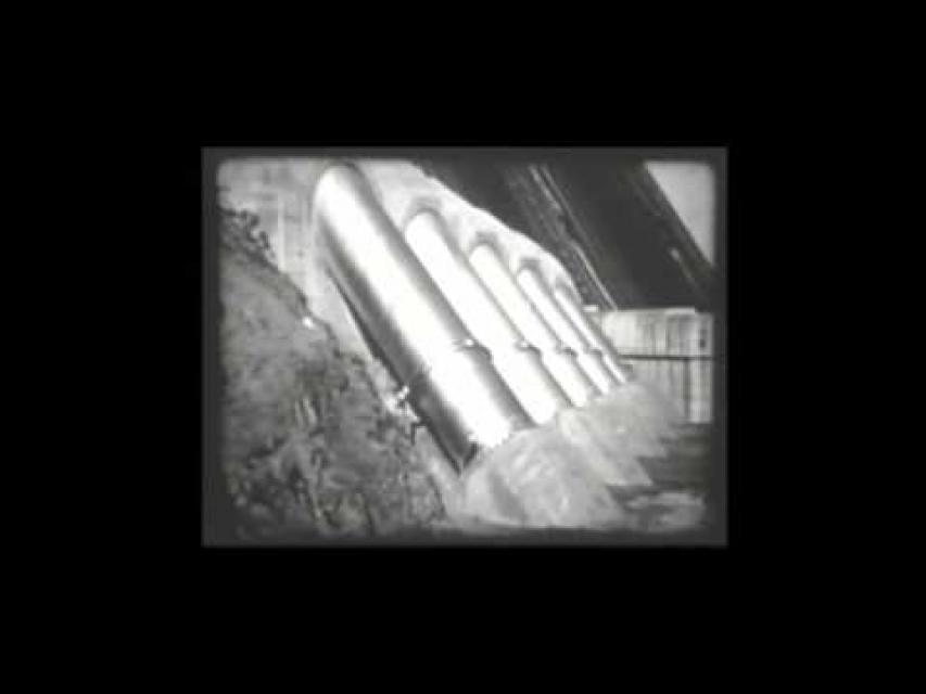
30-minute DVD that traces the history of the U.S. Bureau of
Reclamation and its role in the development of the West. Includes
extensive historic footage of farming and the construction of
dams and other water projects, and discusses historic and modern
day issues.
The 24-page Layperson’s Guide to the State Water Project provides
an overview of the California-funded and constructed State Water
Project.
The State Water Project is best known for the 444-mile-long
aqueduct that provides water from the Delta to San Joaquin Valley
agriculture and southern California cities. The guide contains
information about the project’s history and facilities.
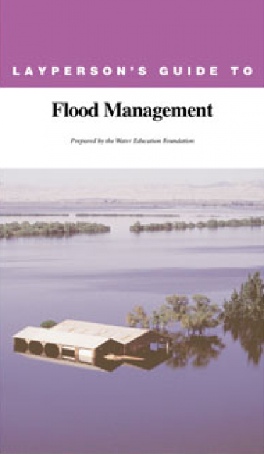
The 24-page Layperson’s Guide to Flood Management explains the
physical flood control system, including levees; discusses
previous flood events (including the 1997 flooding); explores
issues of floodplain management and development; provides an
overview of flood forecasting; and outlines ongoing flood control
projects.
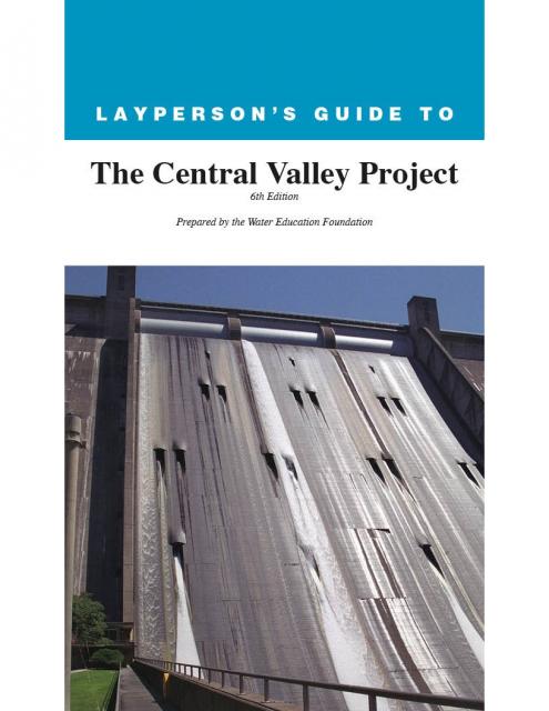
The 24-page Layperson’s Guide to the Central Valley Project
explores the history and development of the federal Central
Valley Project (CVP), California’s largest surface water delivery
system. In addition to the project’s history, the guide describes
the various facilities, operations and benefits the water
project brings to the state along with the CVP
Improvement Act (CVPIA).
A new look for our most popular product! And it’s the perfect
gift for the water wonk in your life.
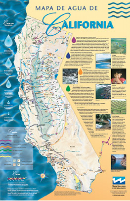
Our 24×36-inch California Water Map is widely known for being the
definitive poster that shows the integral role water plays in the
state. On this updated version, it is easier to see California’s
natural waterways and man-made reservoirs and aqueducts
– including federally, state and locally funded
projects – the wild and scenic rivers system, and
natural lakes. The map features beautiful photos of
California’s natural environment, rivers, water projects,
wildlife, and urban and agricultural uses and the
text focuses on key issues: water supply, water use, water
projects, the Delta, wild and scenic rivers and the Colorado
River.
A watershed is the land area that drains snowmelt and rain into a
network of lakes, streams, rivers and other waterways. It
typically is identified by the largest draining watercourse
within the system. In California, for example, the Sacramento River Basin is the
state’s largest watershed.
California’s largest river, the Sacramento, provides about
30 percent of the state’s surface water runoff.
Once called “the Nile of the West,” the Sacramento River drains
the inland slopes of the Klamath Mountains, the Cascade Range,
the Coast Ranges and the western slopes of the northern Sierra Nevada. The river stretches
some 384 miles from its headwaters near Mount Shasta to the
Sacramento-San
Joaquin Delta.
Anadromous fish are freshwater fish
that migrate to sea and then return to spawn in fresh water.
In California, anadromous fish include coho salmon, chinook
salmon and steelhead. Those inhabiting rivers across the Central
Valley have experienced significant declines from historical
populations. This is due to drought, habitat destruction, water
diversions, migratory obstacles such as dams, unfavorable ocean
conditions, pollution and introduced predator species.
This issue of Western Water looks at the BDCP and the
Coalition to Support Delta Projects, issues that are aimed at
improving the health and safety of the Delta while solidifying
California’s long-term water supply reliability.
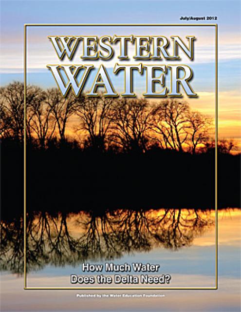
This printed issue of Western Water examines the issues
associated with the State Water Board’s proposed revision of the
water quality Bay-Delta Plan, most notably the question of
whether additional flows are needed for the system, and how they
might be provided.
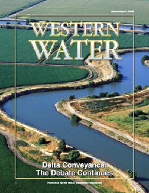
This printed issue of Western Water provides an overview of the
idea of a dual conveyance facility, including questions
surrounding its cost, operation and governance
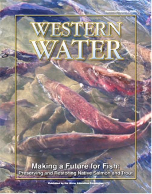
This printed copy of Western Water examines the native salmon and
trout dilemma – the extent of the crisis, its potential impact on
water deliveries and the lengths to which combined efforts can
help restore threatened and endangered species.
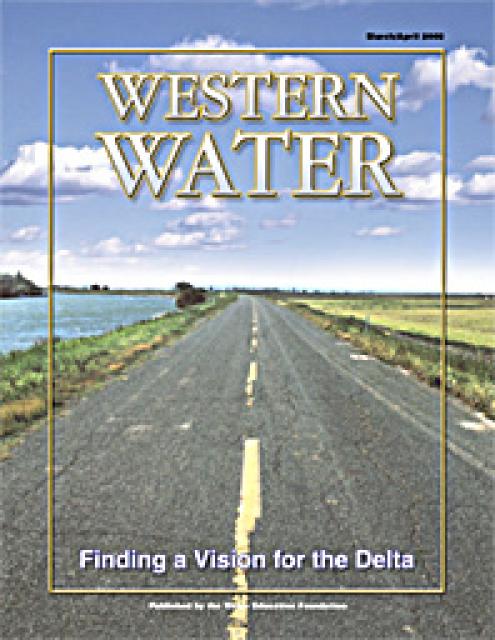
This printed copy of Western Water examines the Delta through the
many ongoing activities focusing on it, most notably the Delta
Vision process. Many hours of testimony, research, legal
proceedings, public hearings and discussion have occurred and
will continue as the state seeks the ultimate solution to the
problems tied to the Delta.
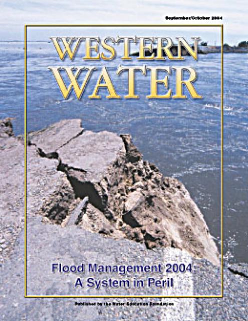
This issue of Western Water analyzes northern California’s
extensive flood control system – it’ history, current concerns,
the Paterno decision and how experts are re-thinking the concept
of flood management.
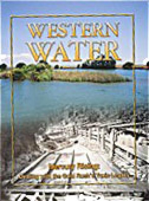
This issue of Western Water examines the presence of mercury in
the environment and the challenge of limiting the threat posed to
human health and wildlife. In addition to outlining the extent of
the problem and its resistance to conventional pollution
remedies, the article presents a glimpse of some possible courses
of action for what promises to be a long-term problem.


")

")
")
")
 and temperature. This gauge near downtown Sacramento measures water depth. (Source: California Department of Water Resources)")

")
")
: Karla Nemeth, director, California Department of Water Resources; Gloria Gray, chair, Metropolitan Water District of Southern California; Brenda Burman, Bureau of Reclamation Commissioner; Jayne Harkins, commissioner, International Boundary and Water Commission, U.S. and Mexico; Amy Haas, executive director, Upper Colorado River Commission.")

")
")
")
")
")
")


")
")