California hosts a substantial, complicated water rights system
that allocates water across the state. In addition to a dual
system — riparian and appropriate rights — today state courts
are recognizing expanded public trust values in determining
how the state’s water resources should be best used.
Water rights are governed mostly by state law. Water quality
issues, which may affect allocation, are regulated separately by
both federal and state laws. Water rights can be quite
contentious.
A trial that some say could cripple Nevada’s ability to
regulate water within the state began in a Las Vegas courtroom
this week. For decades now, developers and the state have gone
back and forth over Coyote Springs. That’s a development about
an hour northeast of Las Vegas. No one lives there, and that’s
largely because years ago, the state engineer declared there
wasn’t enough water. That decision was backed by the Nevada
Supreme Court. Now, the Seenos, developers from California who
are the sole owners of the development today, are seeking
restitution for all the money they invested in the project.
They claim the state essentially stole their water rights. The
lawsuit could potentially cost the state billions.
A state lawmaker on Wednesday paused her bill extending the
state Department of Water Resources’ water rights permit after
it got caught up in a controversy over a proposed
tunnel diverting water from Northern California to
Southern California. Assemblymember Lisa Calderon withdrew her
bill, AB 2215, from its scheduled hearing in the Senate Natural
Resources and Water Committee, according to her chief of staff
Mike Dayton. He said the committee’s proposed changes to the
bill “weren’t consistent with our intentions.” Calderon’s bill
would have given the Department of Water Resources
until 2046 to build more infrastructure to use more of its
State Water Project water rights. The State Water
Project is the massive system of pumps and aqueducts that
transports water around the state to 27 million people.
La Guía para el Público en General sobre el Agua en California,
de 24 páginas, ofrece una visión integral de la historia del
desarrollo de los recursos hídricos en California y de la gestión
de los numerosos desafíos que enfrenta el estado en la
actualidad.
A long-simmering Northern California case over water use
restrictions tinged with racial overtones ended Tuesday with a
settlement. Siskiyou County and Sheriff Jeremiah LaRue reached
an agreement with the putative class over what the latter
called discriminatory traffic stops and improper search and
seizure methods. The class — which includes over 1,000 people,
many of whom are Asian American and live in a rural part of the
county called Shasta Vista — sued in 2022. They claimed the
sheriff and county used water ordinances to deprive
them in an area with no public water system. County
officials said they needed the ordinances to fight illegal
cannabis grows. On Tuesday, Chief U.S. District Judge Troy
Nunley approved the settlement agreement between the two sides.
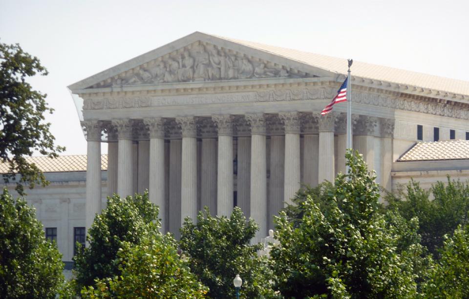
The U.S. Supreme Court will weigh in on a legal battle over
one of Colorado’s critical water sources as a
neighboring state seeks to use more water from the South Platte
River. The nation’s highest court on Monday announced it would
hear the case, in which Nebraska officials claim Colorado water
administrators are violating a century-old water
compact by failing to send enough of the river’s water
across the border. They also say Colorado officials are
interfering in the neighboring state’s efforts to build a canal
that would allow it to take more of the river’s water. Colorado
Attorney General Phil Weiser on Monday denied Nebraska
officials’ allegations that the Centennial State was violating
the 1923 South Platte River Compact.
San Carlos Lake has been closed for nearly three weeks, the
entire fish population has died off, and experts say it may
happen again. The reservoir, about 160 miles from the
Phoenix metro area, has lost so much water that it has caused a
massive fish die-off. Rhett Larson, a professor of water law at
Arizona State University, says this winter was the worst he has
seen in two decades. … The snow drought lowered water
levels, Larson said, but Arizona’s water laws also contributed
to the die-off. … When farmers with senior rights demand
their water, they get first dibs on the water from the lake.
Eventually, the lake can’t fulfill all of its water rights
holders’ requests. Larson says releases from Coolidge Dam at
San Carlos Lake to satisfy those rights brought the lake to
record low levels.
… Local fights are flaring over proposed data centers in Kern
and Imperial Counties, some of California’s most
water-parched regions. The ratcheting up of tension
comes as two bills from Assemblymember Diane Papan that would
force earlier disclosure of data centers’ projected and
actual water use are winding their way through
the Legislature, with a first hearing in the Senate
scheduled next Tuesday. AB 2469 would require data
centers to provide more information on water supply, use and
planning before cities or counties can approve new or expanded
data centers. AB 2619 would require data centers to report
projected and actual water use as a requirement for renewing a
local business license.
Directors of a capital water district don’t often consider
filing public records requests for its neighbor, let alone one
of its wholesale customers. However, in late May, directors of
the San Juan Water District considered it a reasonable next
step. Ted Costa, San Juan’s board president, proposed the
request in response to a recent inquiry from the Citrus Heights
Water District. Costa said a previous request from CHWD
required extensive staff time and resulted in San Juan
producing about 2,200 pages of records. … The records
dispute may seem unusual, but it reflects a much larger
disagreement among the partnering agencies, including
Sacramento Suburban Water District. The agencies are at
odds over access to pre-1914 surface water, one of California’s
most valuable water supplies.
*IMPORTANT* In anticipation of high demand, the Foundation will be allocating tickets via a lottery method with a maximum of 3 entrants per organization. Tickets will be released in batches over time. Details coming soon.
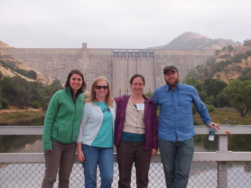
This special, first-ever Foundation water tour will only be offered once! Join us on this special journey as we examine water issues along the Kern River, from its mountain-fed headwaters in the southern Sierra Nevada to its terminus in the Central Valley west of Bakersfield. Among the planned stops are both upper forks of the Kern River, Lake Isabella, lower Kern River canyon, the Friant-Kern Canal, irrigated agriculture in the valley, the Kern Water Bank and more.
Hyatt Place Bakersfield
310 Coffee Rd.
Bakersfield, CA 93309
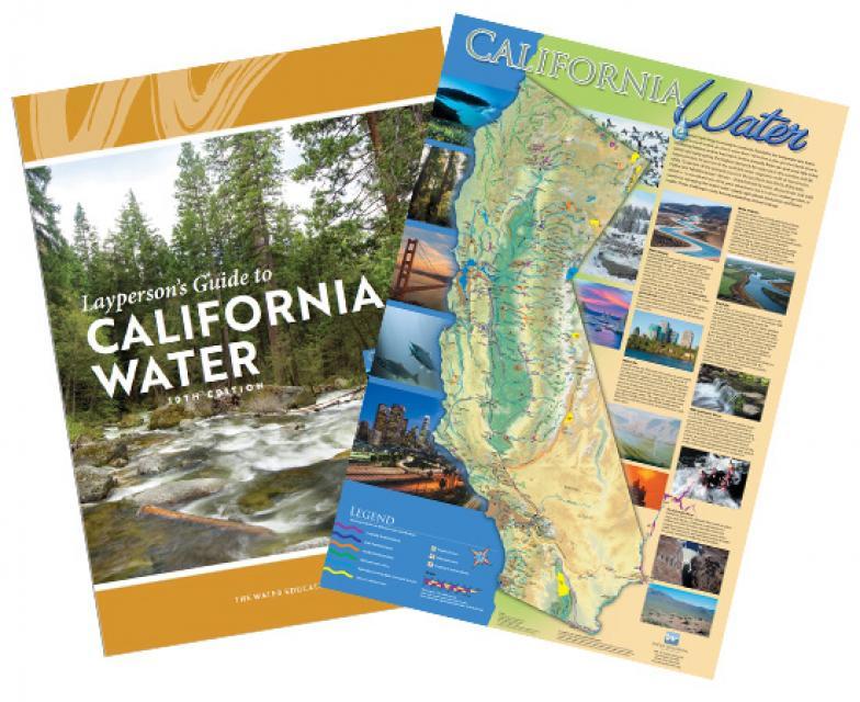
The 24-page Layperson’s Guide to California Water provides a
comprehensive overview of the history of water development in
California and management of its many challenges today.
The 24-page Layperson’s Guide to the Delta explores the competing
uses and demands on California’s Sacramento-San Joaquin
Delta. The 11th edition examines this critical
water hub and its myriad challenges. The 2025 version
includes the latest information on the tunnel project, habitat
restoration efforts, climate change impacts and an updated
section on the legal and political facets of the Delta.
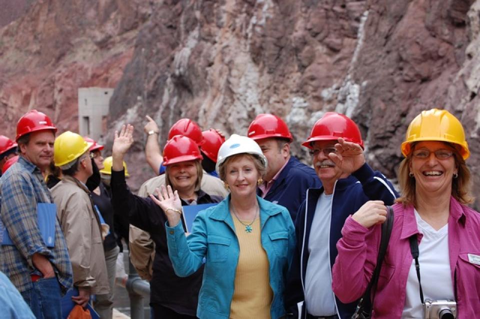
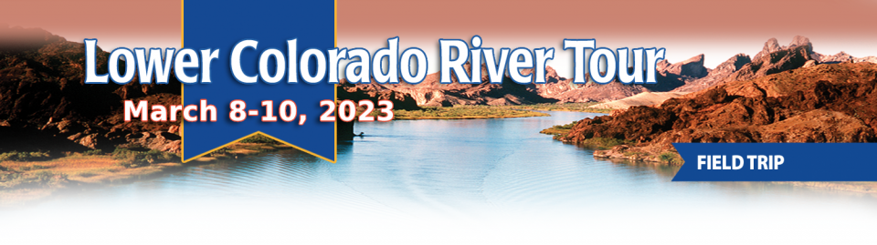
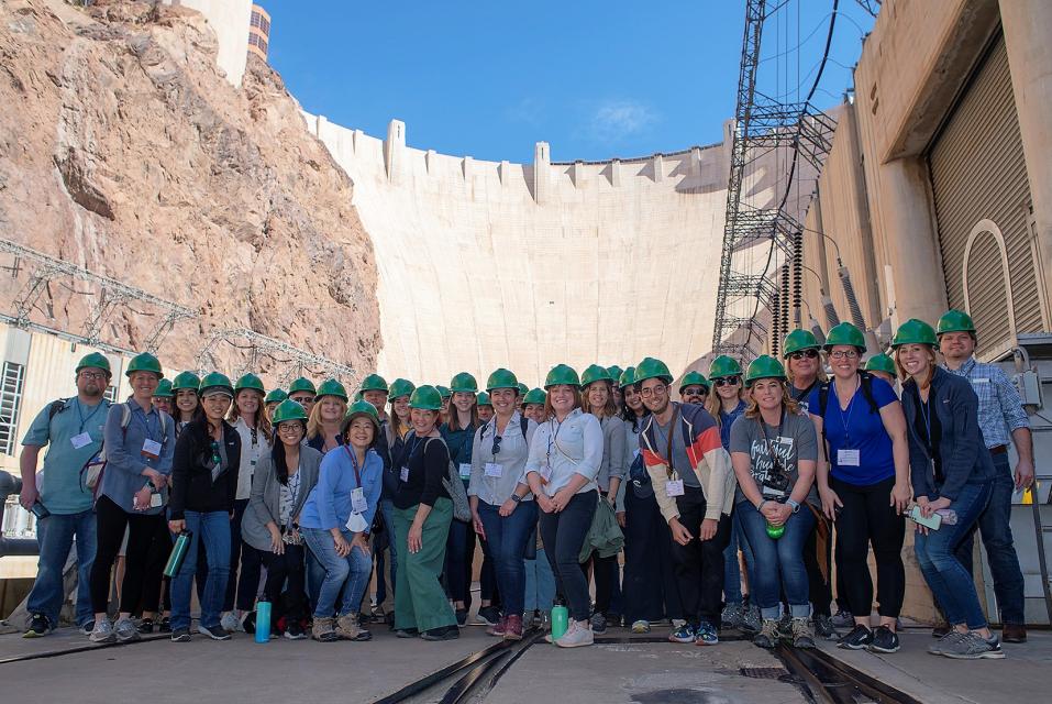
This tour explored the lower Colorado River firsthand where virtually every drop of the river is allocated, yet demand is growing from myriad sources — increasing population, declining habitat, drought and climate change.
The 1,450-mile river is a lifeline to some 40 million people in the Southwest across seven states, 30 tribal nations and Mexico. How the Lower Basin states – Arizona, California and Nevada – use and manage this water to meet agricultural, urban, environmental and industrial needs was the focus of this tour.
Hilton Garden Inn Las Vegas Strip South
7830 S Las Vegas Blvd
Las Vegas, NV 89123
On this first-ever Foundation water tourwe examined water issues along the 263-mile Klamath River, from its spring-fed headwaters in south-central Oregon to its redwood-lined estuary on the Pacific Ocean in California.
Running Y Resort
5500 Running Y Rd
Klamath Falls, OR 97601
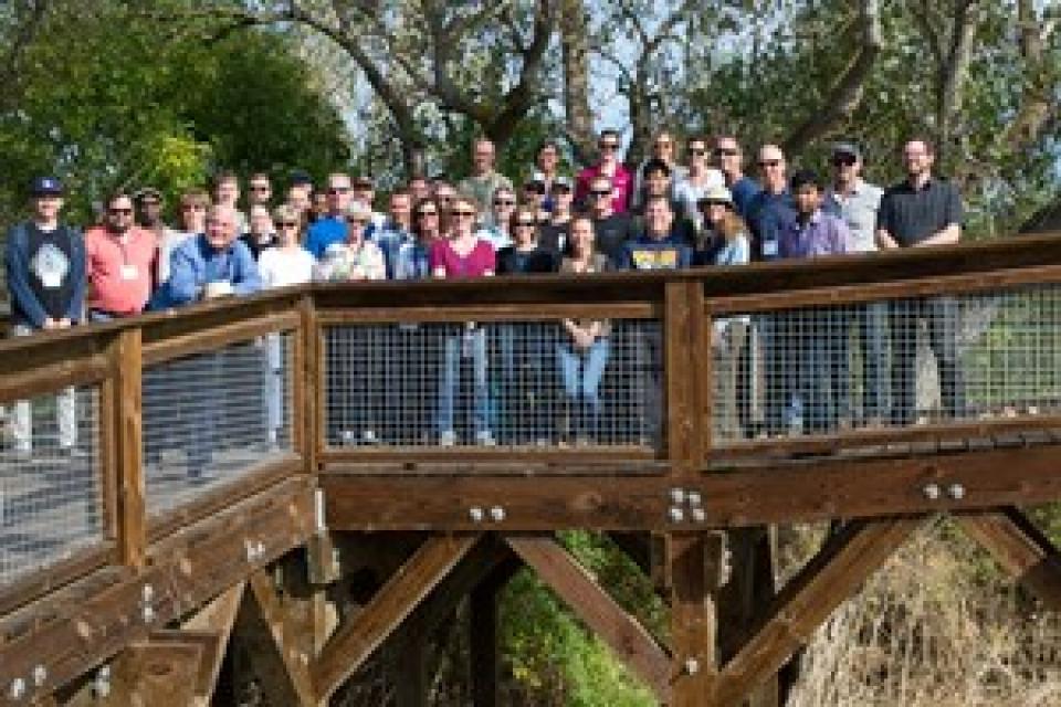
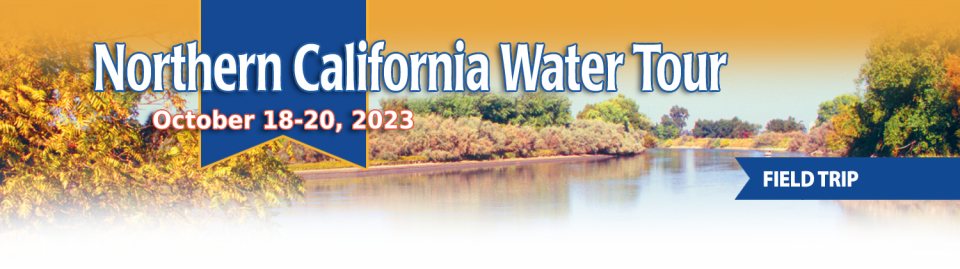
This tour explored the Sacramento River and its tributaries through a scenic landscape while learning about the issues associated with a key source for the state’s water supply.
All together, the river and its tributaries supply 35 percent of California’s water and feed into two major projects: the State Water Project and the federal Central Valley Project.
Water Education Foundation
2151 River Plaza Drive, Suite 205
Sacramento, CA 95833
Six tribes in the Upper Colorado River Basin, including two in
Colorado, have gained long-awaited access to discussions about
the basin’s water issues — talks that were formerly
limited to states and the federal government. Under an
agreement finalized this month, the tribes will meet every two
months to discuss Colorado River issues with an interstate
water policy commission, the Upper Colorado River Commission,
or UCRC. It’s the first time in the commission’s 76-year
history that tribes have been formally included, and the timing
is key as negotiations about the river’s future intensify.
… Most immediately, the commission wants a key number:
How much water goes unused by tribes and flows down to the
Lower Basin?
Our popular water maps don the
office walls of many in the water world, and our Layperson’s
Guides are the go-to resource for impartial overviews of key
water topics and landmarks across California and the Southwest.
In recognition of Earth Day and National Environmental Education
Week, we’re offering a 20 percent discount
through April 27 on these educational products:
This tour explored the lower Colorado River firsthand where virtually every drop of the river is allocated, yet demand is growing from myriad sources — increasing population, declining habitat, drought and climate change.
The 1,450-mile river is a lifeline to some 40 million people in the Southwest across seven states, 30 tribal nations and Mexico. How the Lower Basin states – Arizona, California and Nevada – use and manage this water to meet agricultural, urban, environmental and industrial needs was the focus of this tour.
Hilton Garden Inn Las Vegas Strip South
7830 S Las Vegas Blvd
Las Vegas, NV 89123
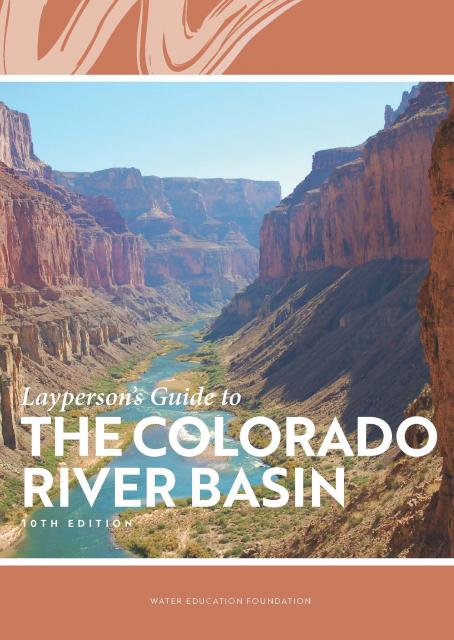
Learn the history and challenges facing the West’s most dramatic
and developed river.
The Layperson’s Guide to the Colorado River Basin introduces the
1,450-mile river that sustains 40 million people and millions of
acres of farmland spanning seven states and parts of northern
Mexico.
The 28-page primer explains how the river’s water is shared and
managed as the Southwest transitions to a hotter and drier
climate.
… In California, just figuring out who holds a water right
requires a trip to a downtown Sacramento storage room crammed
with millions of paper and microfilmed records dating to the
mid-1800s. Even the state’s water rights enforcers struggle to
determine who is using what. … Come next year, however,
the board expects to have all records electronically accessible
to the public. Officials recently started scanning records tied
to an estimated 45,000 water rights into an online database.
They’re also designing a system that will give real-time data
on how much water is being diverted from rivers and streams
across the state. … Proponents say the information
technology upgrade will help the state and water users better
manage droughts, establish robust water trading markets and
ensure water for fish and the environment.
For a state that prides itself on
technological innovation, California is surprisingly antiquated
when it comes to accessing fundamental facts about its most
critical natural resource – water.
Most anywhere else in the West, basic water rights information
such as who is using how much water, for what purpose, when, and
where can be pulled up on a laptop or smartphone.
The climate-driven shrinking of the
Colorado River is expanding the influence of Native American
tribes over how the river’s flows are divided among cities, farms
and reservations across the Southwest.
The tribes are seeing the value of their largely unused river
water entitlements rise as the Colorado dwindles, and they are
gaining seats they’ve never had at the water bargaining table as
government agencies try to redress a legacy of exclusion.
Below-average precipitation and snowpack during 2020-22 and
depleted surface and groundwater supplies pushed California
into a drought emergency that brought curtailment orders and
calls for modernizing water rights. At the Water Education
Foundation annual water summit last week in Sacramento,
Eric Oppenheimer, chief deputy director of the California State
Water Resources Control Board, discussed what he described as
the state’s “antiquated” water rights system. He spoke before
some 150 water managers, government officials, farmers,
environmentalists and others as part of the event where
interests come together to collaborate on some of the state’s
most challenging water issues.
This tour explored the Sacramento River and its tributaries through a scenic landscape while learning about the issues associated with a key source for the state’s water supply.
All together, the river and its tributaries supply 35 percent of California’s water and feed into two major projects: the State Water Project and the federal Central Valley Project.
Water Education Foundation
2151 River Plaza Drive, Suite 205
Sacramento, CA 95833
The states of the Lower Colorado
River Basin have traditionally played an oversized role in
tapping the lifeline that supplies 40 million people in the West.
California, Nevada and Arizona were quicker to build major canals
and dams and negotiated a landmark deal that requires the Upper
Basin to send predictable flows through the Grand Canyon, even
during dry years.
But with the federal government threatening unprecedented water
cuts amid decades of drought and declining reservoirs, the Upper
Basin states of Wyoming, Utah, Colorado and New Mexico are
muscling up to protect their shares of an overallocated river
whose average flows in the Upper Basin have already dropped
20 percent over the last century.
They have formed new agencies to better monitor their interests,
moved influential Colorado River veterans into top negotiating
posts and improved their relationships with Native American
tribes that also hold substantial claims to the river.
This tour explored the lower Colorado River firsthand where virtually every drop of the river is allocated, yet demand is growing from myriad sources — increasing population, declining habitat, drought and climate change.
The 1,450-mile river is a lifeline to some 40 million people in the Southwest across seven states, 30 tribal nations and Mexico. How the Lower Basin states – Arizona, California and Nevada – use and manage this water to meet agricultural, urban, environmental and industrial needs was the focus of this tour.
Hilton Garden Inn Las Vegas Strip South
7830 S Las Vegas Blvd
Las Vegas, NV 89123
It was exactly the sort of deluge
California groundwater agencies have been counting on to
replenish their overworked aquifers.
The start of 2023 brought a parade of torrential Pacific storms
to bone dry California. Snow piled up across the Sierra Nevada at
a near-record pace while runoff from the foothills gushed into
the Central Valley, swelling rivers over their banks and filling
seasonal creeks for the first time in half a decade.
Suddenly, water managers and farmers toiling in one of the
state’s most groundwater-depleted regions had an opportunity to
capture stormwater and bank it underground. Enterprising agencies
diverted water from rushing rivers and creeks into manmade
recharge basins or intentionally flooded orchards and farmland.
Others snagged temporary permits from the state to pull from
streams they ordinarily couldn’t touch.
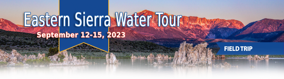
This special Foundation water tour journeyed along the Eastern Sierra from the Truckee River to Mono Lake, through the Owens Valley and into the Mojave Desert to explore a major source of water for Southern California, this year’s snowpack and challenges for towns, farms and the environment.
When the Colorado River Compact was
signed 100 years ago, the negotiators for seven Western states
bet that the river they were dividing would have ample water to
meet everyone’s needs – even those not seated around the table.
A century later, it’s clear the water they bet on is not there.
More than two decades of drought, lake evaporation and overuse of
water have nearly drained the river’s two anchor reservoirs, Lake
Powell on the Arizona-Utah border and Lake Mead near Las Vegas.
Climate change is rendering the basin drier, shrinking spring
runoff that’s vital for river flows, farms, tribes and cities
across the basin – and essential for refilling reservoirs.
The states that endorsed the Colorado River Compact in 1922 – and
the tribes and nation of Mexico that were excluded from the table
– are now straining to find, and perhaps more importantly accept,
solutions on a river that may offer just half of the water that
the Compact assumed would be available. And not only are
solutions not coming easily, the relationships essential for
compromise are getting more frayed.
This tour explored the Sacramento River and its tributaries through a scenic landscape while learning about the issues associated with a key source for the state’s water supply.
All together, the river and its tributaries supply 35 percent of California’s water and feed into two major projects: the State Water Project and the federal Central Valley Project.
Water Education Foundation
2151 River Plaza Drive, Suite 205
Sacramento, CA 95833
As water interests in the Colorado
River Basin prepare to negotiate a new set of operating
guidelines for the drought-stressed river, Amelia Flores wants
her Colorado River Indian Tribes (CRIT) to be involved in the
discussion. And she wants CRIT seated at the negotiating table
with something invaluable to offer on a river facing steep cuts
in use: its surplus water.
CRIT, whose reservation lands in California and Arizona are
bisected by the Colorado River, has some of the most senior water
rights on the river. But a federal law enacted in the late 1700s,
decades before any southwestern state was established, prevents
most tribes from sending any of its water off its reservation.
The restrictions mean CRIT, which holds the rights to nearly a
quarter of the entire state of Arizona’s yearly allotment of
river water, is missing out on financial gain and the chance to
help its river partners.
This tour explored the Sacramento River and its tributaries
through a scenic landscape while learning about the issues
associated with a key source for the state’s water supply.
All together, the river and its tributaries supply 35 percent of
California’s water and feed into two major projects: the State
Water Project and the federal Central Valley Project.
Water Education Foundation
2151 River Plaza Drive, Suite 205
Sacramento, CA 95833
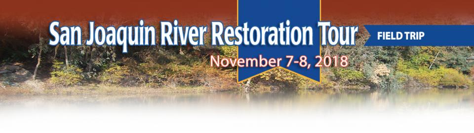
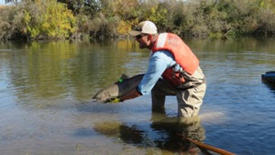
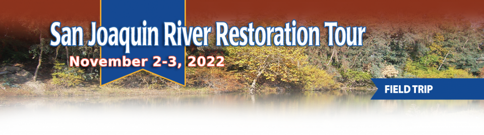
This tour traveled along the San Joaquin River to learn firsthand
about one of the nation’s largest and most expensive river
restoration projects.
The San Joaquin River was the focus of one of the most
contentious legal battles in California water history,
ending in a 2006 settlement between the federal government,
Friant Water Users Authority and a coalition of environmental
groups.
Hampton Inn & Suites Fresno
327 E Fir Ave
Fresno, CA 93720
Momentum is building for a unique
interstate deal that aims to transform wastewater from Southern
California homes and business into relief for the stressed
Colorado River. The collaborative effort to add resiliency to a
river suffering from overuse, drought and climate change is being
shaped across state lines by some of the West’s largest water
agencies.
This tour explored the lower Colorado River firsthand where virtually every drop of the river is allocated, yet demand is growing from myriad sources — increasing population, declining habitat, drought and climate change.
The 1,450-mile river is a lifeline to some 40 million people in the Southwest across seven states, 30 tribal nations and Mexico. How the Lower Basin states – Arizona, California and Nevada – use and manage this water to meet agricultural, urban, environmental and industrial needs was the focus of this tour.
Hyatt Place Las Vegas At Silverton Village
8380 Dean Martin Drive
Las Vegas, NV 89139
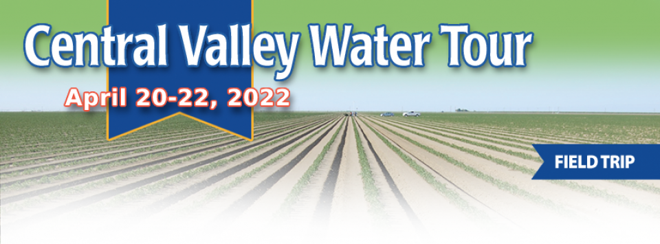
This tour ventured through California’s Central Valley, known as the nation’s breadbasket thanks to an imported supply of surface water and local groundwater. Covering about 20,000 square miles through the heart of the state, the valley provides 25 percent of the nation’s food, including 40 percent of all fruits, nuts and vegetables consumed throughout the country.
Climate scientist Brad Udall calls
himself the skunk in the room when it comes to the Colorado
River. Armed with a deck of PowerPoint slides and charts that
highlight the Colorado River’s worsening math, the Colorado State
University scientist offers a grim assessment of the river’s
future: Runoff from the river’s headwaters is declining, less
water is flowing into Lake Powell – the key reservoir near the
Arizona-Utah border – and at the same time, more water is being
released from the reservoir than it can sustainably provide.
This tour guided participants on a virtual exploration of the Sacramento River and its tributaries and learn about the issues associated with a key source for the state’s water supply.
All together, the river and its tributaries supply 35 percent of California’s water and feed into two major projects: the State Water Project and the federal Central Valley Project.
As California’s seasons become
warmer and drier, state officials are pondering whether the water
rights permitting system needs revising to better reflect the
reality of climate change’s effect on the timing and volume of
the state’s water supply.
A report by the State Water Resources Control Board recommends
that new water rights permits be tailored to California’s
increasingly volatile hydrology and be adaptable enough to ensure
water exists to meet an applicant’s demand. And it warns
that the increasingly whiplash nature of California’s changing
climate could require existing rights holders to curtail
diversions more often and in more watersheds — or open
opportunities to grab more water in climate-induced floods.
Dates are now set for two key
Foundation events to kick off 2020 — our popular Water 101
Workshop, scheduled for Feb. 20 at McGeorge School of Law in
Sacramento, and our Lower Colorado River Tour, which will run
from March 11-13.
In addition, applications will be available by the first week of
October for our 2020 class of Water Leaders, our competitive
yearlong program for early to mid-career up-and-coming water
professionals. To learn more about the program, check out our
Water Leaders program
page.
This 2-day, 1-night tour offered participants the opportunity to
learn about water issues affecting California’s scenic Central
Coast and efforts to solve some of the challenges of a region
struggling to be sustainable with limited local supplies that
have potential applications statewide.
As the Colorado River Basin becomes
drier and shortage conditions loom, one great variable remains:
How much of the river’s water belongs to Native American tribes?
Native Americans already use water from the Colorado River and
its tributaries for a variety of purposes, including leasing it
to non-Indian users. But some tribes aren’t using their full
federal Indian reserved water right and others have water rights
claims that have yet to be resolved. Combined, tribes have rights
to more water than some states in the Colorado River Basin.
In 1983, a landmark California Supreme Court ruling extended the public trust doctrine to tributary creeks that feed Mono Lake, which is a navigable water body even though the creeks themselves were not. The ruling marked a dramatic shift in water law and forced Los Angeles to cut back its take of water from those creeks in the Eastern Sierra to preserve the lake.
Now, a state appellate court has for the first time extended that same public trust doctrine to groundwater that feeds a navigable river, in this case the Scott River flowing through a picturesque valley of farms and alfalfa in Siskiyou County in the northern reaches of California.
This tour explored the Sacramento River and its tributaries
through a scenic landscape as participants learned about the
issues associated with a key source for the state’s water supply.
All together, the river and its tributaries supply 35 percent of
California’s water and feed into two major projects: the State
Water Project and the federal Central Valley Project. Tour
participants got an on-site update of Oroville Dam spillway
repairs.
For decades, cannabis has been grown
in California – hidden away in forested groves or surreptitiously
harvested under the glare of high-intensity indoor lamps in
suburban tract homes.
In the past 20 years, however, cannabis — known more widely as
marijuana – has been moving from being a criminal activity to
gaining legitimacy as one of the hundreds of cash crops in the
state’s $46 billion-dollar agriculture industry, first legalized
for medicinal purposes and this year for recreational use.
We explored the lower Colorado River where virtually every drop
of the river is allocated, yet demand is growing from myriad
sources — increasing population, declining habitat, drought and
climate change.
The 1,450-mile river is a lifeline to 40 million people in
the Southwest across seven states and Mexico. How the Lower Basin
states – Arizona, California and Nevada – use and manage this
water to meet agricultural, urban, environmental and industrial
needs was the focus of this tour.
Hampton Inn Tropicana
4975 Dean Martin Drive, Las Vegas, NV 89118
Does California need to revamp the way in which water is dedicated to the environment to better protect fish and the ecosystem at large? In the hypersensitive world of California water, where differences over who gets what can result in epic legislative and legal battles, the idea sparks a combination of fear, uncertainty and promise.
Saying that the way California manages water for the environment “isn’t working for anyone,” the Public Policy Institute of California (PPIC) shook things up late last year by proposing a redesigned regulatory system featuring what they described as water ecosystem plans and water budgets with allocations set aside for the environment.
This tour explored the Sacramento River and its tributaries
through a scenic landscape as participants learned about the
issues associated with a key source for the state’s water supply.
All together, the river and its tributaries supply 35 percent of
California’s water and feed into two major projects: the State
Water Project and the federal Central Valley Project. Tour
participants got an on-site update of repair efforts on the
Oroville Dam spillway.
Participants of this tour snaked along the San Joaquin River to
learn firsthand about one of the nation’s largest and most
expensive river restoration projects.
The San Joaquin River was the focus of one of the most
contentious legal battles in California water history,
ending in a 2006 settlement between the federal government,
Friant Water Users Authority and a coalition of environmental
groups.
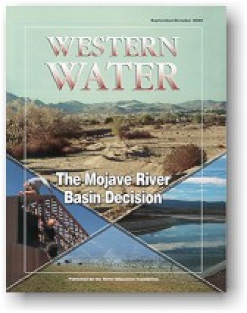
Flowing into the heart of the Mojave Desert, the Mojave River exists mostly underground. Surface channels are usually dry absent occasional groundwater surfacing and flooding from extreme weather events like El Niño.
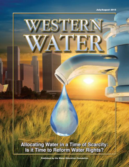
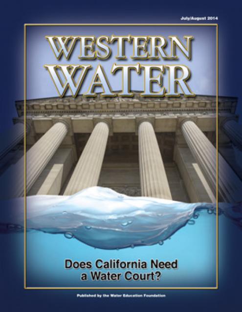
This issue looks at how California’s severe drought has put its
water rights system under scrutiny, raising the question whether
a complete overhaul is necessary to better allocate water use.
California’s severe drought has put its water rights system under
scrutiny, raising the question whether a complete overhaul is
necessary to better allocate water use.
(Read the excerpt below from the July/August 2015 issue along
with the editor’s note. Click here
to subscribe to Western Water and get full access.)
Introduction
California’s severe drought has put its water rights system under
scrutiny, raising the question whether a complete overhaul is
necessary to better allocate water use.
Before attorneys wrangled in courtrooms over questions of water
rights, people typically took matters into their own hands. If
your neighbor up river was damming water that affected your
supply, it wasn’t unheard of that you would simply sneak up in
the middle of the night and blow up the dam.
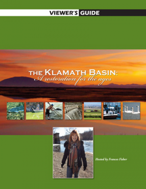
20-minute version of the 2012 documentary The Klamath Basin: A
Restoration for the Ages. This DVD is ideal for showing at
community forums and speaking engagements to help the public
understand the complex issues related to complex water management
disputes in the Klamath River Basin. Narrated by actress Frances
Fisher.
For over a century, the Klamath River Basin along the Oregon and
California border has faced complex water management disputes. As
relayed in this 2012, 60-minute public television documentary
narrated by actress Frances Fisher, the water interests range
from the Tribes near the river, to energy producer PacifiCorp,
farmers, municipalities, commercial fishermen, environmentalists
– all bearing legitimate arguments for how to manage the water.
After years of fighting, a groundbreaking compromise may soon
settle the battles with two epic agreements that hold the promise
of peace and fish for the watershed. View an excerpt from the
documentary here.
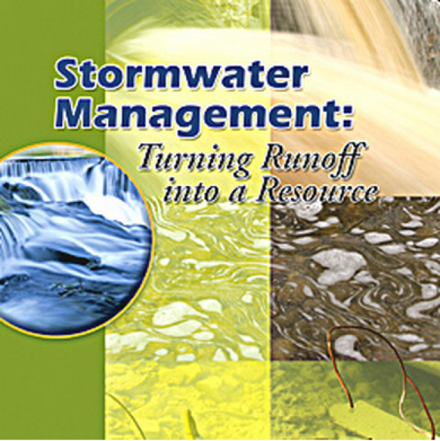
20-minute DVD that explains the problem with polluted stormwater,
and steps that can be taken to help prevent such pollution and
turn what is often viewed as a “nuisance” into a water resource
through various activities.
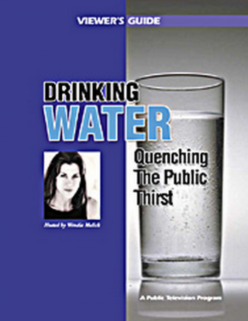
Many Californians don’t realize that when they turn on the
faucet, the water that flows out could come from a source close
to home or one hundreds of miles away. Most people take their
water for granted; not thinking about the elaborate systems and
testing that go into delivering clean, plentiful water to
households throughout the state. Where drinking water comes from,
how it’s treated, and what people can do to protect its quality
are highlighted in this 2007 PBS documentary narrated by actress
Wendie Malick.
A 30-minute version of the 2007 PBS documentary Drinking Water:
Quenching the Public Thirst. This DVD is ideal for showing at
community forums and speaking engagements to help the public
understand the complex issues surrounding the elaborate systems
and testing that go into delivering clean, plentiful water to
households throughout the state.
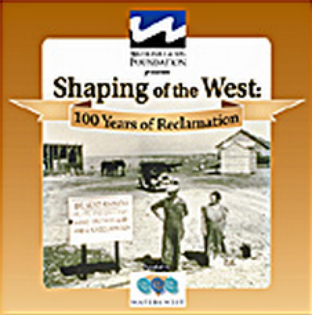
30-minute DVD that traces the history of the U.S. Bureau of
Reclamation and its role in the development of the West. Includes
extensive historic footage of farming and the construction of
dams and other water projects, and discusses historic and modern
day issues.
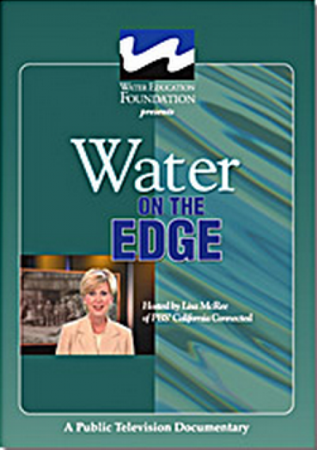
Water truly has shaped California into the great state it is
today. And if it is water that made California great, it’s the
fight over – and with – water that also makes it so critically
important. In efforts to remap California’s circulatory system,
there have been some critical events that had a profound impact
on California’s water history. These turning points not only
forced a re-evaluation of water, but continue to impact the lives
of every Californian. This 2005 PBS documentary offers a
historical and current look at the major water issues that shaped
the state we know today. Includes a 12-page viewer’s guide with
background information, historic timeline and a teacher’s lesson.
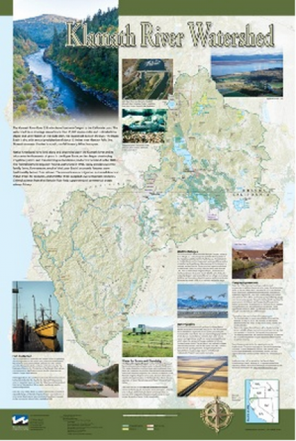
This beautiful 24×36-inch poster, suitable for framing, displays
the rivers, lakes and reservoirs, irrigated farmland, urban areas
and Indian reservations within the Klamath River Watershed. The
map text explains the many issues facing this vast,
15,000-square-mile watershed, including fish restoration;
agricultural water use; and wetlands. Also included are
descriptions of the separate, but linked, Klamath Basin
Restoration Agreement and the Klamath Hydroelectric Agreement,
and the next steps associated with those agreements. Development
of the map was funded by a grant from the U.S. Fish and Wildlife
Service.
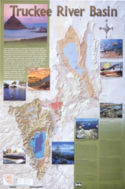
This beautiful 24×36-inch poster, suitable for framing, displays
the rivers, lakes and reservoirs, irrigated farmland, urban areas
and Indian reservations within the Truckee River Basin, including
the Newlands Project, Pyramid Lake and Lake Tahoe. Map text
explains the issues surrounding the use of the Truckee-Carson
rivers, Lake Tahoe water quality improvement efforts, fishery
restoration and the effort to reach compromise solutions to many
of these issues.
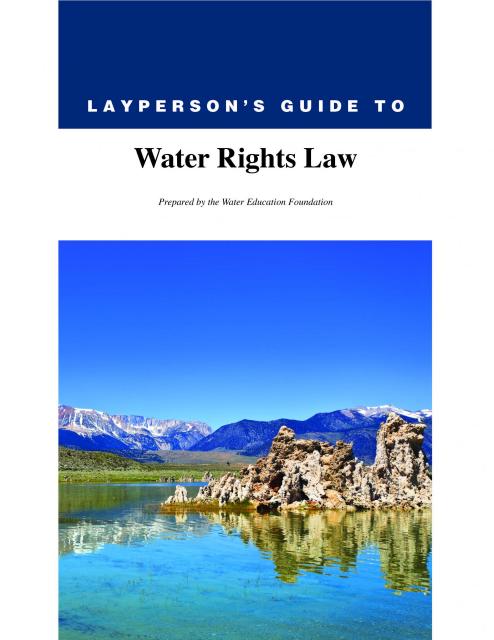
The 28-page Layperson’s Guide to Water Rights Law, recognized as
the most thorough explanation of California water rights law
available to non-lawyers, traces the authority for water flowing
in a stream or reservoir, from a faucet or into an irrigation
ditch through the complex web of California water rights.
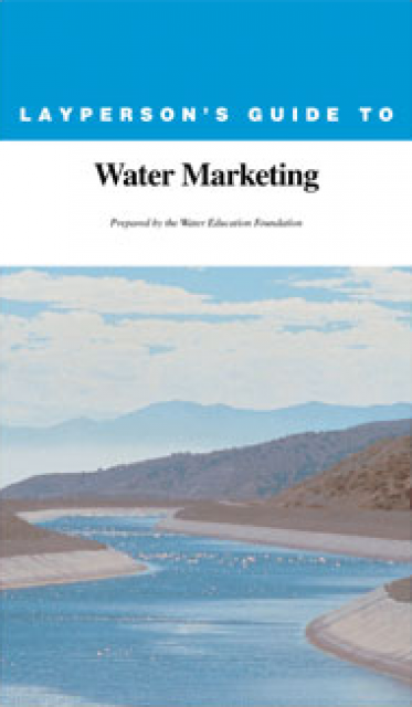
The 20-page Layperson’s Guide to Water Marketing provides
background information on water rights, types of transfers and
critical policy issues surrounding this topic. First published in
1996, the 2005 version offers expanded information on
groundwater banking and conjunctive use, Colorado River
transfers and the role of private companies in California’s
developing water market.
Order in bulk (25 or more copies of the same guide) for a reduced
fee. Contact the Foundation, 916-444-6240, for details.
The 24-page Layperson’s Guide to the State Water Project provides
an overview of the California-funded and constructed State Water
Project.
The State Water Project is best known for the 444-mile-long
aqueduct that provides water from the Delta to San Joaquin Valley
agriculture and southern California cities. The guide contains
information about the project’s history and facilities.
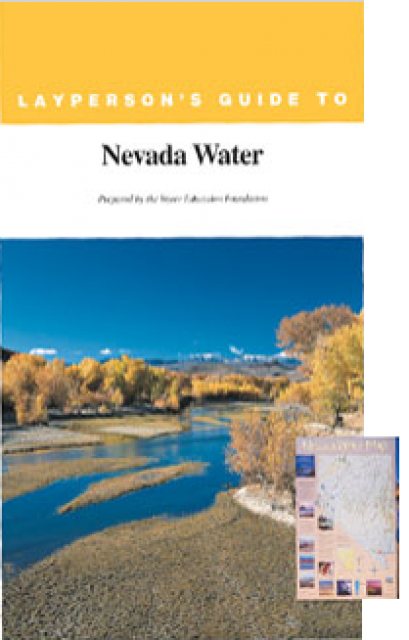
The 28-page Layperson’s Guide to Nevada Water provides an
overview of the history of water development and use in Nevada.
It includes sections on Nevada’s water rights laws, the history
of the Truckee and Carson rivers, water supplies for the Las
Vegas area, groundwater, water quality, environmental issues and
today’s water supply challenges.
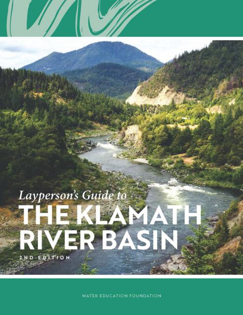
The Water Education Foundation’s second edition of
the Layperson’s Guide to The Klamath River Basin is
hot off the press and available for purchase.
Updated and redesigned, the easy-to-read overview covers the
history of the region’s tribal, agricultural and environmental
relationships with one of the West’s largest rivers — and a
vast watershed that hosts one of the nation’s oldest and
largest reclamation projects.
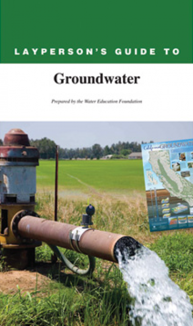
The 28-page Layperson’s Guide to Groundwater is an in-depth,
easy-to-understand publication that provides background and
perspective on groundwater. The guide explains what groundwater
is – not an underground network of rivers and lakes! – and the
history of its use in California.
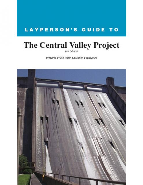
The 24-page Layperson’s Guide to the Central Valley Project
explores the history and development of the federal Central
Valley Project (CVP), California’s largest surface water delivery
system. In addition to the project’s history, the guide describes
the various facilities, operations and benefits the water
project brings to the state along with the CVP
Improvement Act (CVPIA).
California’s growth has closely paralleled an evolving and
complex system of water rights.
After California became a state in 1850, it followed the practice
of Eastern states and adopted riparian rights based on
ownership of land bordering a waterway. The riparian
property owner has the right to use that water, a right that
cannot be transferred apart from the land.
Water marketing is the transfer or sale of water or water rights
from one user to another, typically from an agricultural to an
urban water agency, often without investing in new infrastructure
Most exchanges involve a transfer of the resource itself, not a
transfer of the right to use the water.
Reallocating the available water on a supply-and-demand basis is
viewed by proponents as the best financial, political and
environmental means of accommodating an increase in population.
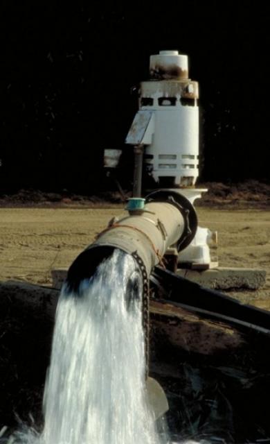
Surface water is water
found in rivers, lakes, streams, and ponds. There are a limited
number of instances in which water in a defined underground
channel is classified as surface water. There are several types
of water rights that apply to surface water.
A landowner whose property borders a river has a right to use
water from that river on his land. This is called riparian
rights.
Prescriptive Rights are water use rights gained illicitly that
evolve into a title. Typically this occurs with rights to
chronically overdraftedgroundwater basins gained
through trespass or unauthorized use.
In California, the California Supreme Court developed the
doctrine of prescriptive rights in 1949.
Henry J. Vaux Jr. is the professor of resource economics,
emeritus, of the University of California, Berkeley, and the
University of California, Riverside.
Adjudicate -To determine rights by a
lawsuit in court.
Appropriative Right – A right based on physical
control of water and since 1914 in relation to surface water, a state-issued
permit or license for its beneficial use. Appropriative
water rights in California are divided into pre-1914 and
post-1914 rights, depending on whether they were initiated after
the December 19, 1914 effective date of the Water Commission Act
of 1913. Post-1914 rights can only be initiated by filing an
application and obtaining a permit from the state. The program is
now administered by the State Water Resources Control
Board.
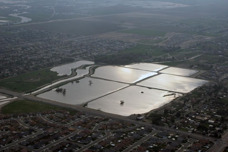
Groundwater banking is a process of diverting floodwaters or
other surface water into
an aquifer where it can be
stored until it is needed later. In a twist of fate, the space
made available by emptying some aquifers opened the door for the
banking activities used so extensively today.
When multiple parties withdraw water from the same aquifer,
groundwater pumpers can ask the court to adjudicate, or hear
arguments for and against, to better define the rights that
various entities have to use groundwater resources. This is known
as groundwater adjudication. [See also California
water rights and Groundwater Law.]
Federal reserved rights were created when the United States
reserved land from the public domain for uses such as Indian
reservations, military bases and national parks, forests and
monuments. [See also Pueblo Rights].
One of the major characteristics of federal reserved water rights
is that they often are senior in priority to water rights
established under state law. The date of priority of a federal
reserved right is the date the reservation was established, and
many were established prior to state water claims.
California law allows rivers, streams, lakes and other surface
water to be diverted at one point and appropriated (used)
beneficially at a separate point.
This “appropriative right” contrasts with a “riparian right,” which is based
on ownership of property adjacent to surface water.
This printed issue of Western Water looks at California
groundwater and whether its sustainability can be assured by
local, regional and state management. For more background
information on groundwater please refer to the Foundation’s
Layperson’s Guide to Groundwater.
This issue of Western Water looks at the BDCP and the
Coalition to Support Delta Projects, issues that are aimed at
improving the health and safety of the Delta while solidifying
California’s long-term water supply reliability.
This printed issue of Western Water examines the issues
associated with the State Water Board’s proposed revision of the
water quality Bay-Delta Plan, most notably the question of
whether additional flows are needed for the system, and how they
might be provided.
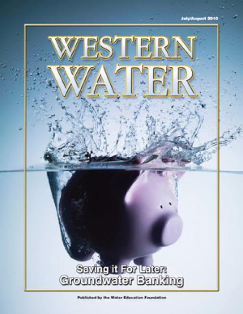
This printed issue of Western Water examines
groundwater banking, a water management strategy with appreciable
benefits but not without challenges and controversy.
“Let me state, clearly and finally, the Interior Department is
fully and completely committed to the policy that no water which
is needed in the Sacramento Valley will be sent out of it. There
is no intent on the part of the Bureau of Reclamation ever to
divert from the Sacramento Valley a single acre-foot of water
which might be used in the valley now or later.” – J.A. Krug,
Secretary of the Interior, Oct. 12, 1948, speech at Oroville, CA
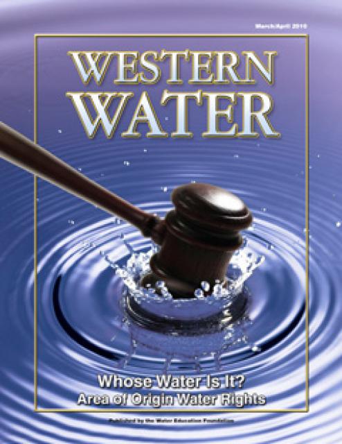
This printed issue of Western Water examines the area
of origin laws, what they mean to those who claim their
protections and the possible implications of the Tehama Colusa
Canal Authority’s lawsuit against the Bureau of Reclamation.
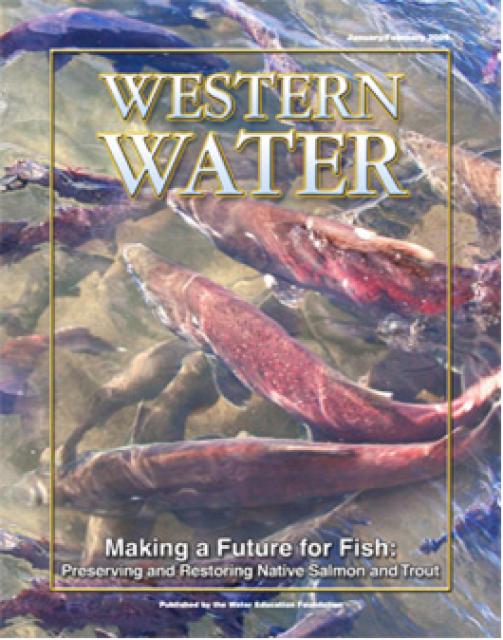
This printed copy of Western Water examines the native salmon and
trout dilemma – the extent of the crisis, its potential impact on
water deliveries and the lengths to which combined efforts can
help restore threatened and endangered species.
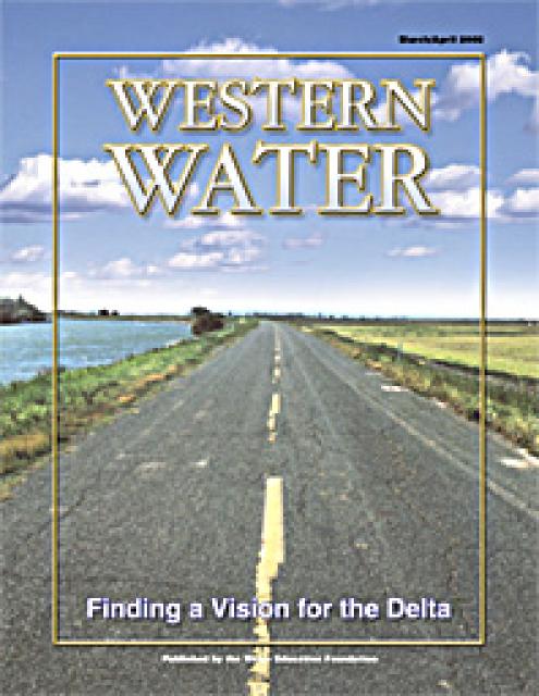
This printed copy of Western Water examines the Delta through the
many ongoing activities focusing on it, most notably the Delta
Vision process. Many hours of testimony, research, legal
proceedings, public hearings and discussion have occurred and
will continue as the state seeks the ultimate solution to the
problems tied to the Delta.
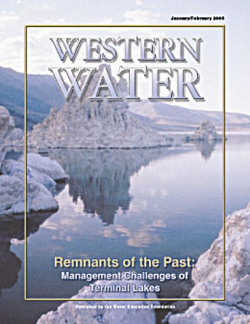
This issue of Western Water examines the challenges facing state,
federal and tribal officials and other stakeholders as they work
to manage terminal lakes. It includes background information on
the formation of these lakes, and overviews of the water quality,
habitat and political issues surrounding these distinctive bodies
of water. Much of the information in this article originated at
the September 2004 StateManagement Issues at Terminal Water
Bodies/Closed Basins conference.
Priority: the right to precedence over others in obtaining,
buying, or doing something – Webster’s New World College
Dictionary
First in time, first in right has long served as one guiding
principle of water law in California. Simply put, this priority
system generally holds that the first person to claim water and
use it has a right superior to subsequent claims. In times of
shortage, it is the most junior of water rights holders who must
cut back use first.
Drawn from a special stakeholder symposium held in September 1999
in Keystone, Colorado, this issue explores how we got to where we
are today on the Colorado River; an era in which the traditional
water development of the past has given way to a more
collaborative approach that tries to protect the environment
while stretching available water supplies.


 and other tributaries of the upper Colorado River have declined dramatically and contributed to the precipitous declines of Lake Powell and Lake Mead. (Source: The Water Desk)")

")
")
")

")
")
")

")

")