

WESTERN WATER-As Colorado River Flows Drop and Tensions Rise, Water Interests Struggle to Find Solutions That All Can Accept
Read our Western Water In-Depth, Water Word of the Day and Five Don't-Miss Water Reads from Across the West
Dear Western Water readers:
 When the Colorado River Compact was
signed 100 years ago, the negotiators for seven Western states
bet that the river they were dividing would have ample water to
meet everyone’s needs – even those not seated around the table. A
century later, it’s clear the water they bet on is not there.
Climate change is rendering the basin drier, shrinking spring
runoff that’s vital for river flows, farms, tribes and cities
across the basin – and essential for refilling reservoirs.
When the Colorado River Compact was
signed 100 years ago, the negotiators for seven Western states
bet that the river they were dividing would have ample water to
meet everyone’s needs – even those not seated around the table. A
century later, it’s clear the water they bet on is not there.
Climate change is rendering the basin drier, shrinking spring
runoff that’s vital for river flows, farms, tribes and cities
across the basin – and essential for refilling reservoirs.
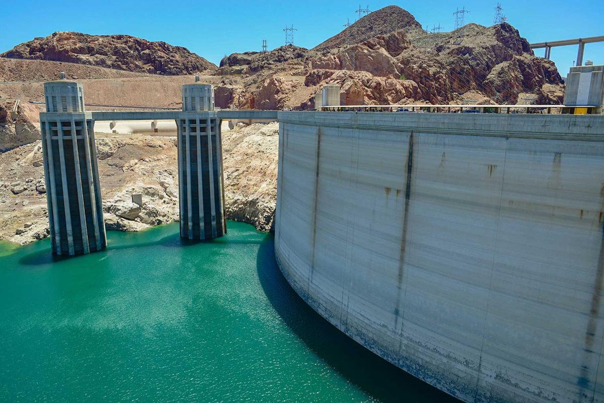
With the Compact’s shortcomings becoming as clear as the bathtub ring around Lake Mead, previous assumptions of how much water the river can provide and the rules governing how it gets divvyed up are being revised to reflect the West’s new hydrology. The states that endorsed the Colorado River Compact in 1922 – and the tribes and nation of Mexico that were excluded from the table – are now straining to find, and perhaps more importantly accept, solutions on a river that may offer just half of the water that the Compact assumed would be available.
The latest Western Water article reveals the complexities facing water managers as they try to voluntarily reduce their demand on the lifeline of the Southwest. Read the full story here.
Water Around the West
Five don’t-miss articles from California and across the West:
From the air, scientists map ‘fast paths’ for recharging California’s groundwater: Ian James of the Los Angeles Times reports on paleovalleys, a rare geologic feature that scientists believe could be used to speed up the replenishment of depleted groundwater basins in California’s Central Valley.
Pink snow is a red flag for the West’s water: Scientists are trying to determine how snow algal blooms on the slopes of mountains impact snowmelt — and the West’s dwindling water supplies, Kylie Mohr reports for High Country News.
Western states ponder regional grid as renewables grow: E&E News’ Jason Plautz explores the possibility of an interconnected regional electricity grid that would allow Western states to more easily share renewable energy sources and buffer the loss of hydropower resulting from the West’s ongoing drought.
Water thieves abound in dry California. Why are they so hard to catch?: From bottled water companies to cattle ranchers, California’s short-staffed drought regulator is struggling to enforce the state’s water rights system and punish rogue water users, writes Grist’s Jake Bittle.
How floating wetlands are helping to clean up urban waters: In the latest green infrastructure trend, cities across the world are experimenting with floating artificial islands in an attempt to filter out unwanted contaminants and prevent algal blooms, writes Yale Environment 360’s Susan Cosier.
Water Word of the Day
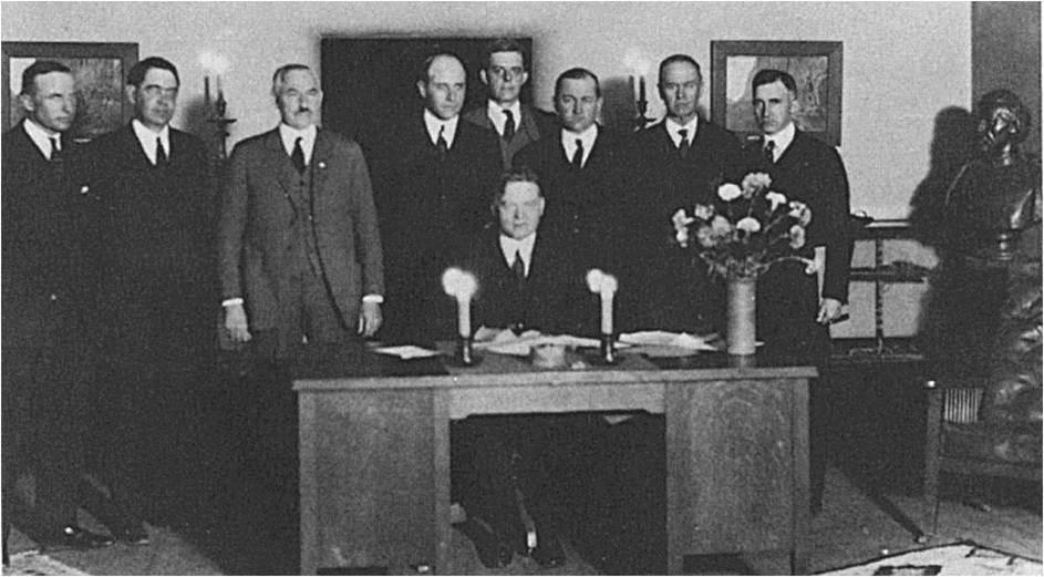 Now 100 years old, the Colorado
River Compact remains a historic achievement. But
the remarkable feat of cooperation that divided the river among
the Upper and Lower Basin states, is revealing its weaknesses as
demands on the river and temperatures in the basins increase.
Much has changed since the Compact was signed, namely
hydrologic conditions. In recent decades, it’s become harder and
harder for the river to provide the fixed water amounts that are
outlined in the landmark legal document, raising questions about
whether the 1922 Compact should continue guiding river use
in the era of climate change. Learn more about the Colorado
River Compact in Aquapedia, our
free online water encyclopedia.
Now 100 years old, the Colorado
River Compact remains a historic achievement. But
the remarkable feat of cooperation that divided the river among
the Upper and Lower Basin states, is revealing its weaknesses as
demands on the river and temperatures in the basins increase.
Much has changed since the Compact was signed, namely
hydrologic conditions. In recent decades, it’s become harder and
harder for the river to provide the fixed water amounts that are
outlined in the landmark legal document, raising questions about
whether the 1922 Compact should continue guiding river use
in the era of climate change. Learn more about the Colorado
River Compact in Aquapedia, our
free online water encyclopedia.
At the Foundation
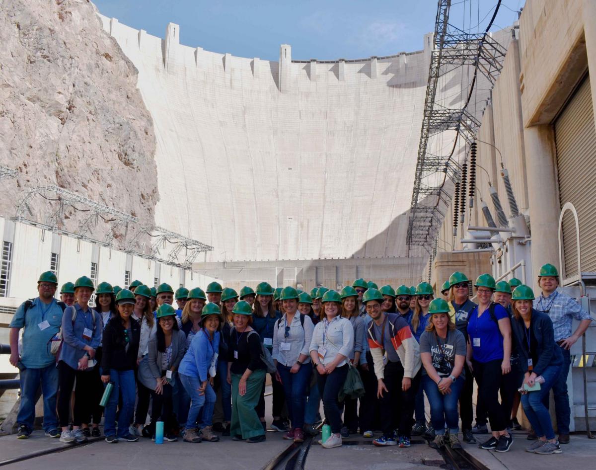 Save the date! Our Lower
Colorado River Tour is set for March 8-10,
2023. Explore the lower Colorado River, where virtually
every drop of the river is allocated, yet demand is growing from
myriad sources — increasing population, declining habitat,
drought and climate change. The river is a lifeline to 40 million
people in the Southwest across seven states, 30 tribal nations
and Mexico. How the Lower Basin states – Arizona, California and
Nevada – use and manage this water to meet agricultural, urban,
environmental and industrial needs — and how they’re addressing
the challenges from drought and climate change — is the focus of
this tour. Registration is coming soon!
Save the date! Our Lower
Colorado River Tour is set for March 8-10,
2023. Explore the lower Colorado River, where virtually
every drop of the river is allocated, yet demand is growing from
myriad sources — increasing population, declining habitat,
drought and climate change. The river is a lifeline to 40 million
people in the Southwest across seven states, 30 tribal nations
and Mexico. How the Lower Basin states – Arizona, California and
Nevada – use and manage this water to meet agricultural, urban,
environmental and industrial needs — and how they’re addressing
the challenges from drought and climate change — is the focus of
this tour. Registration is coming soon!
Water Academy
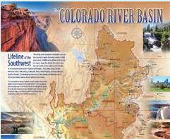 More than 40 million people, seven
states, more than two dozen Native American tribes and the
country of Mexico depend on the Colorado River for their water
supplies. Rocky Mountain snowmelt primarily feeds the assortment
of tributaries that drain into the 1,450-mile-long Colorado
River. To learn more about the rivers, dams, cities, Indian
reservations and national parks that make up the Basin, check out
our beautiful Colorado River
Basin Map.
More than 40 million people, seven
states, more than two dozen Native American tribes and the
country of Mexico depend on the Colorado River for their water
supplies. Rocky Mountain snowmelt primarily feeds the assortment
of tributaries that drain into the 1,450-mile-long Colorado
River. To learn more about the rivers, dams, cities, Indian
reservations and national parks that make up the Basin, check out
our beautiful Colorado River
Basin Map.


