Water quality in California is regulated by several state
agencies, including the State Water Resources Control Board
(State Water Board) and its nine regional boards, which
enforce clean water laws and the Department of Public Health.
Water quality concerns are also often involved in disputes
over water rights, particularly in situations involving
endangered species or habitat.
The State Water Board administers the Clean Water Grant Program
that funds construction of wastewater treatment facilities. The
State Water Board also issues general permits for municipalities
and construction sites that try to prevent contaminants from
those sources from entering municipal storm sewers.
Drinking water standards and regulations are developed by federal
and state agencies to protect public health. In California, the
Department of Public Health administers the federal Safe
Drinking Water Act, which regulates drinking water quality in the
United States.
California will provide $46 million to address water quality
problems at the California-Mexico border, Gov. Gavin Newsom
announced Thursday. According to a press release by the
Governors office, the State Water Resources Control Board
opened grant applications targeting contamination in
cross-border rivers and coastal waters. The funding
comes from Proposition 4, a voter-approved bond covering safe
drinking water, wildfire prevention and drought preparedness
that passed in 2024. … According to the governor’s
office, funding will support projects that reduce bacteria and
trash pollution, address public health impacts from
transboundary contamination, and support restoration and
sediment management. The grants target both the Tijuana
River and other areas, with at least one project
selected from each waterway.
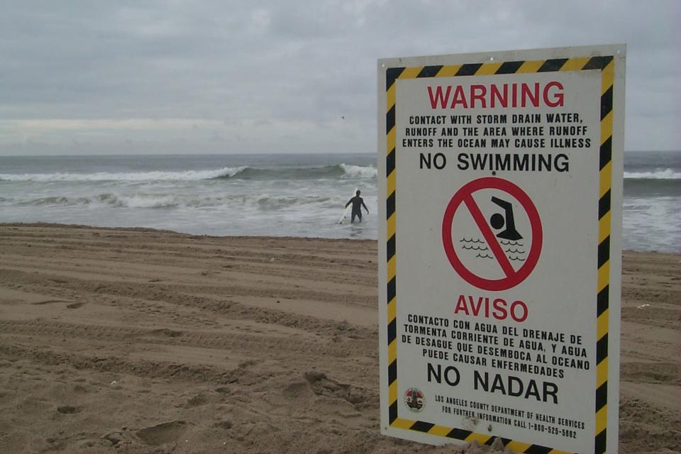
When rain falls on California shopping centers and warehouses,
the water runs off parking lots carrying metal dust and
chemicals from vehicle tires and brake pads, oil and grease
from engines, and bacteria from trash. The gunk washes into
storm drains and pollutes creeks, rivers and beaches. Now
environmental advocates are pushing state regulators to
crack down by requiring stormwater permits.
… Groups that represent the businesses say they are
already paying property taxes that in L.A. County include a
special tax for cleaning up stormwater, and that imposing new
regulations in this way doesn’t make sense. But California
Coastkeeper Alliance and other nonprofit groups submitted
petitions to regional water officials across the state this
week demanding they begin regulating commercial propertiessuch
as big-box stores, auto dealers and industrial parks.
Three months after residents began waging a campaign on
Instagram saying they’re concerned herbicides are poisoning
local creeks, Orange County officials announced they are
halting spraying of the chemicals, for now, in waterways
throughout the county. Starting in February, posts by the
community group Creek Team OC sparked an outpouring of concern
among residents. They posted images of workers spraying
chemicals and used artificial intelligence to make
illustrations featuring surfers under the slogan “Endless
Herbicides.” In March, county Supervisor Katrina Foley told
residents the county would halt spraying of herbicides in two
creeks near Doheny State Beach.
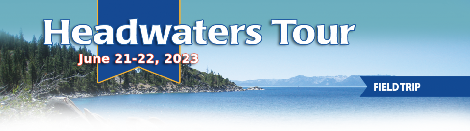
*IMPORTANT* In anticipation of high demand, the Foundation will be allocating tickets via a lottery method with a maximum of 3 entrants per organization. Tickets will be released in batches over time. Details coming soon.
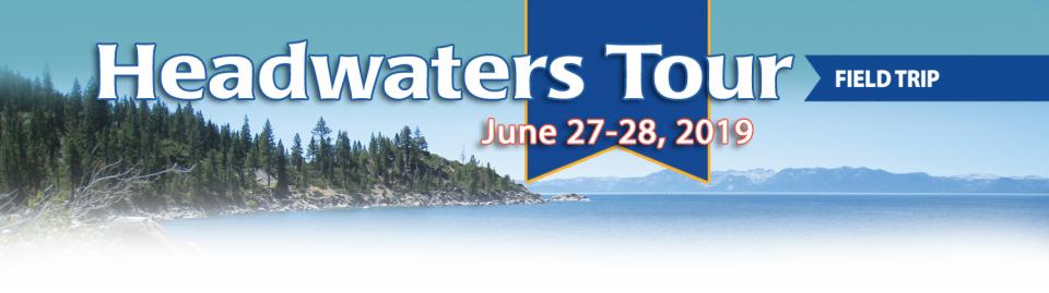
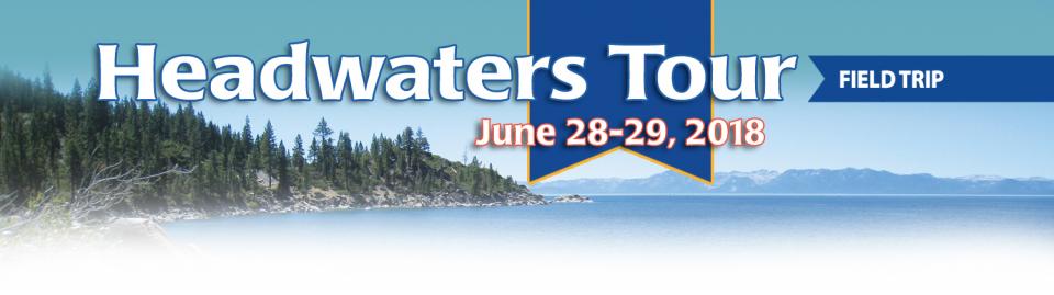
This special, first-ever Foundation water tour will only be offered once! Join us on this special journey as we examine water issues along the Kern River, from its mountain-fed headwaters in the southern Sierra Nevada to its terminus in the Central Valley west of Bakersfield. Among the planned stops are both upper forks of the Kern River, Lake Isabella, lower Kern River canyon, the Friant-Kern Canal, irrigated agriculture in the valley, the Kern Water Bank and more.
Hyatt Place Bakersfield
310 Coffee Rd.
Bakersfield, CA 93309
The 24-page Layperson’s Guide to California Water provides an
excellent overview of the history of water development and use in
California. It includes the latest information on the state’s
changing hydrology, recent water conservation legislation and the
state’s efforts to stretch the available water supplies.
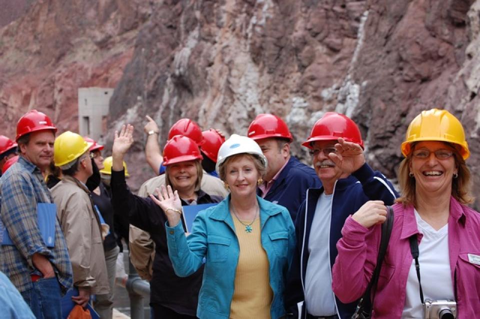
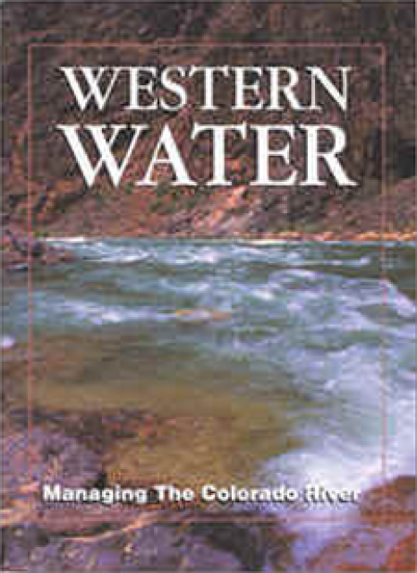
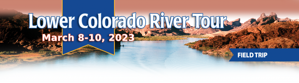
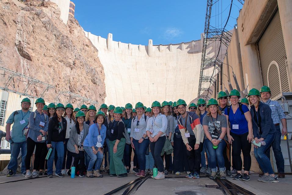
This tour explored the lower Colorado River firsthand where virtually every drop of the river is allocated, yet demand is growing from myriad sources — increasing population, declining habitat, drought and climate change.
The 1,450-mile river is a lifeline to some 40 million people in the Southwest across seven states, 30 tribal nations and Mexico. How the Lower Basin states – Arizona, California and Nevada – use and manage this water to meet agricultural, urban, environmental and industrial needs was the focus of this tour.
Hilton Garden Inn Las Vegas Strip South
7830 S Las Vegas Blvd
Las Vegas, NV 89123
A new aquatic invader, the golden mussel, has penetrated California’s ecologically fragile Sacramento-San Joaquin Delta, the West Coast’s largest tidal estuary and the hub of the state’s vast water export system. While state officials say they’re working to keep this latest invasive species in check, they concede it may be a nearly impossible task: The golden mussel is in the Golden State to stay – and it is likely to spread.
Cities across California and the Southwest are significantly
increasing and diversifying their use of recycled wastewater as
traditional water supplies grow tighter.
The 5th edition of our Layperson’s Guide to Water Recycling
covers the latest trends and statistics on water reuse as a
strategic defense against prolonged drought and climate change.
On this first-ever Foundation water tourwe examined water issues along the 263-mile Klamath River, from its spring-fed headwaters in south-central Oregon to its redwood-lined estuary on the Pacific Ocean in California.
Running Y Resort
5500 Running Y Rd
Klamath Falls, OR 97601
This tour explored the lower Colorado River firsthand where virtually every drop of the river is allocated, yet demand is growing from myriad sources — increasing population, declining habitat, drought and climate change.
The 1,450-mile river is a lifeline to some 40 million people in the Southwest across seven states, 30 tribal nations and Mexico. How the Lower Basin states – Arizona, California and Nevada – use and manage this water to meet agricultural, urban, environmental and industrial needs was the focus of this tour.
Hilton Garden Inn Las Vegas Strip South
7830 S Las Vegas Blvd
Las Vegas, NV 89123
Water bubbles up in streets, pooling in neighborhoods for weeks
or months. Homes burn to the ground if firefighters can’t draw
enough water from hydrants. Utility crews struggle to fix
broken pipes while water flows through shut-off valves that
don’t work. … Across the U.S., trillions of gallons of
drinking water are lost every year, especially from decrepit
systems in communities struggling with significant population
loss and industrial decline that leave behind poorer residents,
vacant neighborhoods and too-large water systems that are
difficult to maintain.
Learn the history and challenges facing the West’s most dramatic
and developed river.
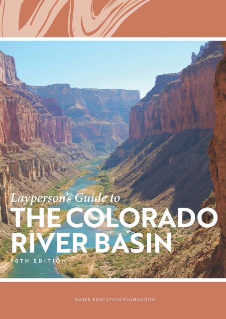
The Layperson’s Guide to the Colorado River Basin introduces the
1,450-mile river that sustains 40 million people and millions of
acres of farmland spanning seven states and parts of northern
Mexico.
The 28-page primer explains how the river’s water is shared and
managed as the Southwest transitions to a hotter and drier
climate.
Tiny pieces of plastic waste shed
from food wrappers, grocery bags, clothing, cigarette butts,
tires and paint are invading the environment and every facet of
daily life. Researchers know the plastic particles have even made
it into municipal water supplies, but very little data exists
about the scope of microplastic contamination in drinking
water.
After years of planning, California this year is embarking on a
first-of-its-kind data-gathering mission to illuminate how
prevalent microplastics are in the state’s largest drinking water
sources and help regulators determine whether they are a public
health threat.
This tour explored the lower Colorado River firsthand where virtually every drop of the river is allocated, yet demand is growing from myriad sources — increasing population, declining habitat, drought and climate change.
The 1,450-mile river is a lifeline to some 40 million people in the Southwest across seven states, 30 tribal nations and Mexico. How the Lower Basin states – Arizona, California and Nevada – use and manage this water to meet agricultural, urban, environmental and industrial needs was the focus of this tour.
Hilton Garden Inn Las Vegas Strip South
7830 S Las Vegas Blvd
Las Vegas, NV 89123
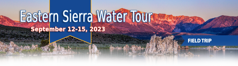
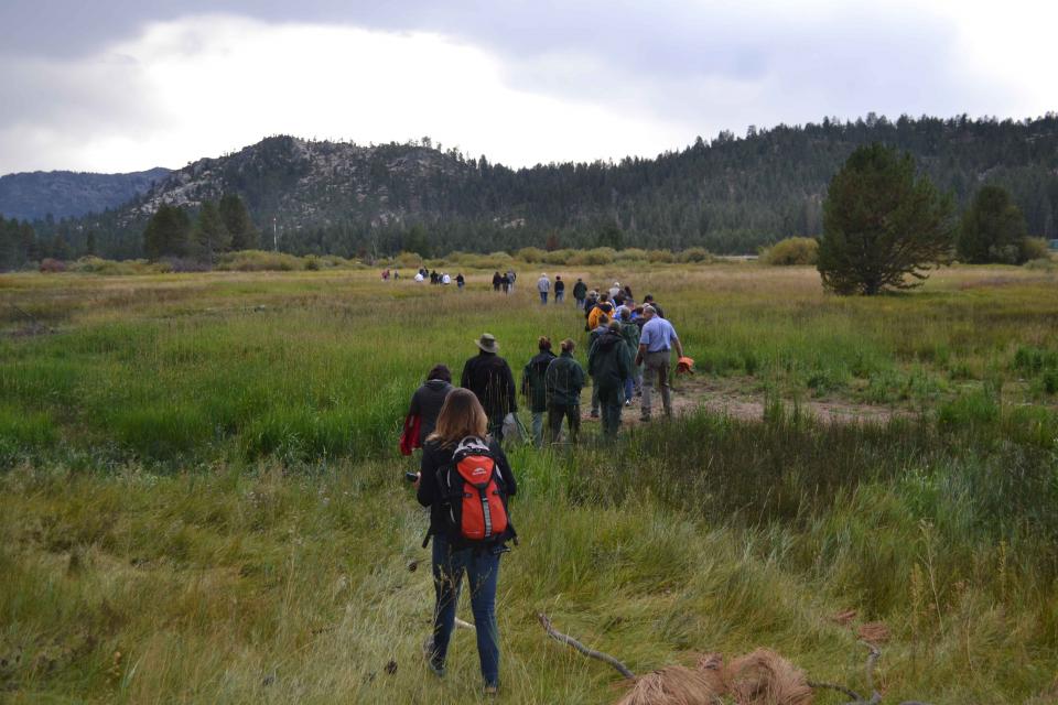
This special Foundation water tour journeyed along the Eastern Sierra from the Truckee River to Mono Lake, through the Owens Valley and into the Mojave Desert to explore a major source of water for Southern California, this year’s snowpack and challenges for towns, farms and the environment.
A pilot program in the Salinas Valley run remotely out of Los Angeles is offering a test case for how California could provide clean drinking water for isolated rural communities plagued by contaminated groundwater that lack the financial means or expertise to connect to a larger water system.
Martha Guzman recalls those awful
days working on water and other issues as a deputy legislative
secretary for then-Gov. Jerry Brown. California was mired in a
recession and the state’s finances were deep in the red. Parks
were cut, schools were cut, programs were cut to try to balance a
troubled state budget in what she remembers as “that terrible
time.”
She now finds herself in a strikingly different position: As
administrator of the U.S. Environmental Protection Agency’s
Region 9, she has a mandate to address water challenges across
California, Nevada, Arizona and Hawaii and $1 billion to help pay
for it. It is the kind of funding, she said, that is usually
spread out over a decade. Guzman called it the “absolutely
greatest opportunity.”
This tour explored the lower Colorado River firsthand where virtually every drop of the river is allocated, yet demand is growing from myriad sources — increasing population, declining habitat, drought and climate change.
The 1,450-mile river is a lifeline to some 40 million people in the Southwest across seven states, 30 tribal nations and Mexico. How the Lower Basin states – Arizona, California and Nevada – use and manage this water to meet agricultural, urban, environmental and industrial needs was the focus of this tour.
Hyatt Place Las Vegas At Silverton Village
8380 Dean Martin Drive
Las Vegas, NV 89139
On average, more than 60 percent of
California’s developed water supply originates in the Sierra
Nevada and the southern spur of the Cascade Range. Our water
supply is largely dependent on the health of our Sierra forests,
which are suffering from ecosystem degradation, drought,
wildfires and widespread tree mortality.
This tour ventured into the Sierra to examine water issues
that happen upstream but have dramatic impacts downstream and
throughout the state.
Radically transformed from its ancient origin as a vast tidal-influenced freshwater marsh, the Sacramento-San Joaquin Delta ecosystem is in constant flux, influenced by factors within the estuary itself and the massive watersheds that drain though it into the Pacific Ocean.
Lately, however, scientists say the rate of change has kicked into overdrive, fueled in part by climate change, and is limiting the ability of science and Delta water managers to keep up. The rapid pace of upheaval demands a new way of conducting science and managing water in the troubled estuary.
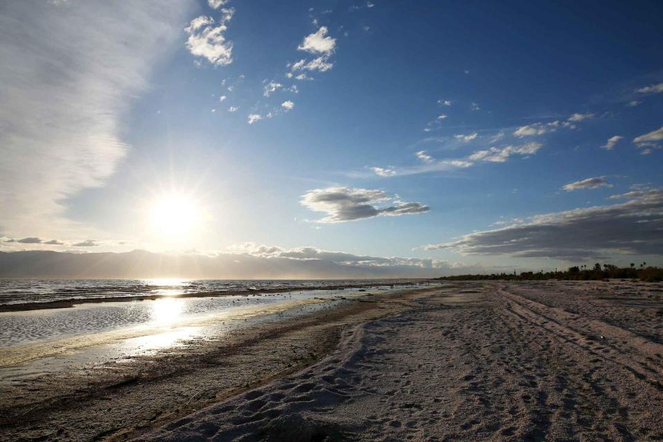
Out of sight and out of mind to most
people, the Salton Sea in California’s far southeast corner has
challenged policymakers and local agencies alike to save the
desert lake from becoming a fetid, hyper-saline water body
inhospitable to wildlife and surrounded by clouds of choking
dust.
The sea’s problems stretch beyond its boundaries in Imperial and
Riverside counties and threaten to undermine multistate
management of the Colorado River. A 2019 Drought Contingency Plan for the
Lower Colorado River Basin was briefly stalled when the Imperial
Irrigation District, holding the river’s largest water
allocation, balked at participating in the plan because, the
district said, it ignored the problems of the Salton Sea.
Voluntary agreements in California
have been touted as an innovative and flexible way to improve
environmental conditions in the Sacramento-San Joaquin Delta
and the rivers that feed it. The goal is to provide river flows
and habitat for fish while still allowing enough water to be
diverted for farms and cities in a way that satisfies state
regulators.
Innovative efforts to accelerate
restoration of headwater forests and to improve a river for the
benefit of both farmers and fish. Hard-earned lessons for water
agencies from a string of devastating California wildfires.
Efforts to drought-proof a chronically water-short region of
California. And a broad debate surrounding how best to address
persistent challenges facing the Colorado River.
These were among the issues Western Water explored in
2019, and are still worth taking a look at in case you missed
them.
It’s been a year since two devastating wildfires on opposite ends
of California underscored the harsh new realities facing water
districts and cities serving communities in or adjacent to the
state’s fire-prone wildlands. Fire doesn’t just level homes, it
can contaminate water, scorch watersheds, damage delivery systems
and upend an agency’s finances.
The majestic beauty of the Sierra
Nevada forest is awe-inspiring, but beneath the dazzling blue
sky, there is a problem: A century of fire suppression and
logging practices have left trees too close together. Millions of
trees have died, stricken by drought and beetle infestation.
Combined with a forest floor cluttered with dry brush and debris,
it’s a wildfire waiting to happen.
Fires devastate the Sierra watersheds upon which millions of
Californians depend — scorching the ground, unleashing a
battering ram of debris and turning hillsides into gelatinous,
stream-choking mudflows.
Summer is a good time to take a
break, relax and enjoy some of the great beaches, waterways and
watersheds around California and the West. We hope you’re getting
a chance to do plenty of that this July.
But in the weekly sprint through work, it’s easy to miss
some interesting nuggets you might want to read. So while we’re
taking a publishing break to work on other water articles planned
for later this year, we want to help you catch up on
Western Water stories from the first half of this year
that you might have missed.
Each day, people living on the streets and camping along waterways across California face the same struggle – finding clean drinking water and a place to wash and go to the bathroom.
Some find friendly businesses willing to help, or public restrooms and drinking water fountains. Yet for many homeless people, accessing the water and sanitation that most people take for granted remains a daily struggle.
Californians have been doing an
exceptional job
reducing their indoor water use, helping the state survive
the most recent drought when water districts were required to
meet conservation targets. With more droughts inevitable,
Californians are likely to face even greater calls to save water
in the future.
One of California Gov. Gavin
Newsom’s first actions after taking office was to appoint Wade
Crowfoot as Natural Resources Agency secretary. Then, within
weeks, the governor laid out an ambitious water agenda that
Crowfoot, 45, is now charged with executing.
That agenda includes the governor’s desire for a “fresh approach”
on water, scaling back the conveyance plan in the Sacramento-San
Joaquin Delta and calling for more water recycling, expanded
floodplains in the Central Valley and more groundwater recharge.
Low-income Californians can get help with their phone bills, their natural gas bills and their electric bills. But there’s only limited help available when it comes to water bills.
That could change if the recommendations of a new report are implemented into law. Drafted by the State Water Resources Control Board, the report outlines the possible components of a program to assist low-income households facing rising water bills.
The growing leadership of women in water. The Colorado River’s persistent drought and efforts to sign off on a plan to avert worse shortfalls of water from the river. And in California’s Central Valley, promising solutions to vexing water resource challenges.
These were among the topics that Western Water news explored in 2018.
We’re already planning a full slate of stories for 2019. You can sign up here to be alerted when new stories are published. In the meantime, take a look at what we dove into in 2018:
Disadvantaged communities are those carrying the greatest
economic, health and environmental burdens. They include
poverty, high unemployment, higher risk of asthma and heart
disease, and often limited access to clean, affordable drinking
water.
Sixty percent of California’s developed water supply
originates high in the Sierra Nevada mountains. Our water
supply is largely dependent on the health of our Sierra forests,
which are suffering from ecosystem degradation, drought,
wildfires and widespread tree mortality.
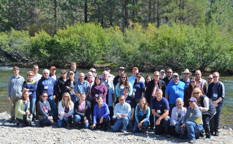
We headed into the foothills and the mountains to examine
water issues that happen upstream but have dramatic impacts
downstream and throughout the state.
GEI (Tour Starting Point)
2868 Prospect Park Dr.
Rancho Cordova, CA 95670.
For decades, cannabis has been grown
in California – hidden away in forested groves or surreptitiously
harvested under the glare of high-intensity indoor lamps in
suburban tract homes.
In the past 20 years, however, cannabis — known more widely as
marijuana – has been moving from being a criminal activity to
gaining legitimacy as one of the hundreds of cash crops in the
state’s $46 billion-dollar agriculture industry, first legalized
for medicinal purposes and this year for recreational use.
As we continue forging ahead in 2018
with our online version of Western Water after 40 years
as a print magazine, we turned our attention to a topic that also
got its start this year: recreational marijuana as a legal use.
State regulators, in the last few years, already had been beefing
up their workforce to tackle the glut in marijuana crops and
combat their impacts to water quality and supply for people, fish
and farming downstream. Thus, even if these impacts were perhaps
unbeknownst to the majority of Californians who approved
Proposition 64 in 2016, we thought it important to see if
anything new had evolved from a water perspective now that
marijuana was legal.
We explored the lower Colorado River where virtually every drop
of the river is allocated, yet demand is growing from myriad
sources — increasing population, declining habitat, drought and
climate change.
The 1,450-mile river is a lifeline to 40 million people in
the Southwest across seven states and Mexico. How the Lower Basin
states – Arizona, California and Nevada – use and manage this
water to meet agricultural, urban, environmental and industrial
needs was the focus of this tour.
Hampton Inn Tropicana
4975 Dean Martin Drive, Las Vegas, NV 89118
California voters may experience a sense of déjà vu this year when they are asked twice in the same year to consider water bonds — one in June, the other headed to the November ballot.
Both tackle a variety of water issues, from helping disadvantaged communities get clean drinking water to making flood management improvements. But they avoid more controversial proposals, such as new surface storage, and they propose to do some very different things to appeal to different constituencies.
A new study could help water
agencies find solutions to the vexing challenges the homeless
face in gaining access to clean water for drinking and
sanitation.
The Santa Ana Watershed Project
Authority (SAWPA) in Southern California has embarked on a
comprehensive and collaborative effort aimed at assessing
strengths and needs as it relates to water services for people
(including the homeless) within its 2,840 square-mile area that
extends from the San Bernardino Mountains to the Orange County
coast.
Sixty percent of California’s developed water supply
originates high in the Sierra Nevada mountains. Our water
supply is largely dependent on the health of our Sierra forests,
which are suffering from ecosystem degradation, drought,
wildfires and widespread tree mortality.
Algal blooms are sudden
outbreaks of algae. Their occurrence is increasing in
California’s rivers, creeks and lakes and along the coast,
threatening the lives of people, pets and fisheries.
Only a few types of algae can produce poisons, but even nontoxic
blooms hurt the environment and local economies. When masses
of algae die and decay, they can deplete oxygen in the water to
the point of causing devastating fish kills.
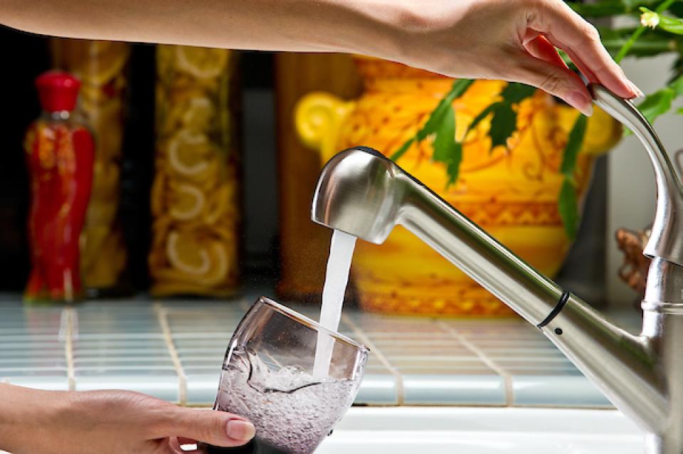
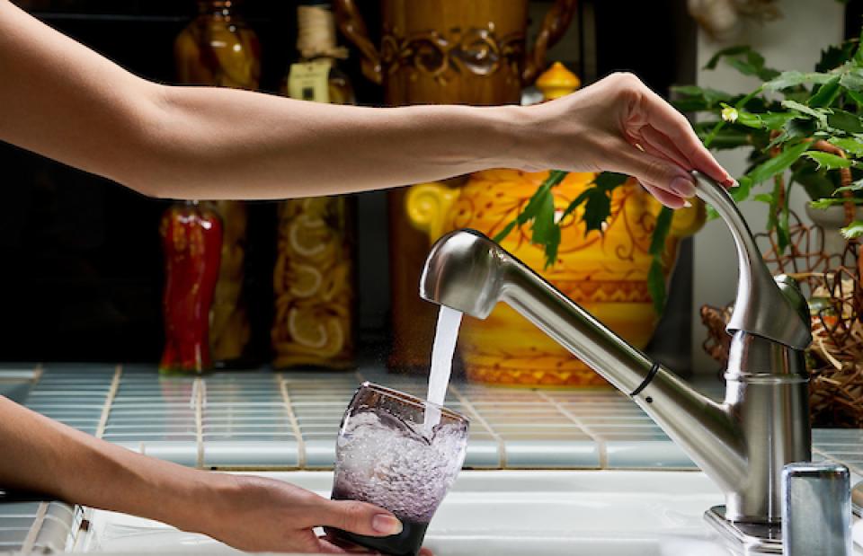
Potable water, also known as
drinking water, comes from surface and ground sources and is
treated to levels that that meet state and federal standards for
consumption.
Water from natural sources is treated for microorganisms,
bacteria, toxic chemicals, viruses and fecal matter. Drinking
raw, untreated water can cause gastrointestinal problems such as
diarrhea, vomiting or fever.
Point sources release pollutants from discrete conveyances, such
as a discharge pipe, and are regulated by federal and state
agencies. The main point source dischargers are factories and
sewage treatment plants, which release treated
wastewater.
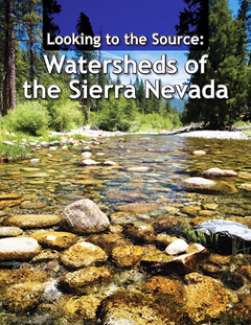
This 28-page report describes the watersheds of the Sierra Nevada
region and details their importance to California’s overall water
picture. It describes the region’s issues and challenges,
including healthy forests, catastrophic fire, recreational
impacts, climate change, development and land use.
The report also discusses the importance of protecting and
restoring watersheds in order to retain water quality and enhance
quantity. Examples and case studies are included.
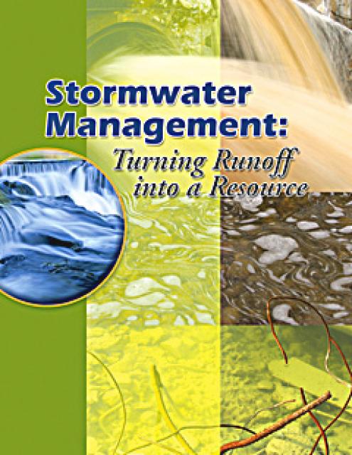
Problems with polluted stormwater and steps that can be taken to
prevent such pollution and turn what is often viewed as
“nuisance” runoff into a water resource is the focus of this
publication, Stormwater Management: Turning Runoff into a
Resource. The 16-page booklet, funded by a grant from the State
Water Resources Control Board, includes color photos and
graphics, text explaining common stormwater pollutants and
efforts to prevent stormwater runoff through land use/
planning/development – as well as tips for homeowners to reduce
their impacts on stormwater pollution.
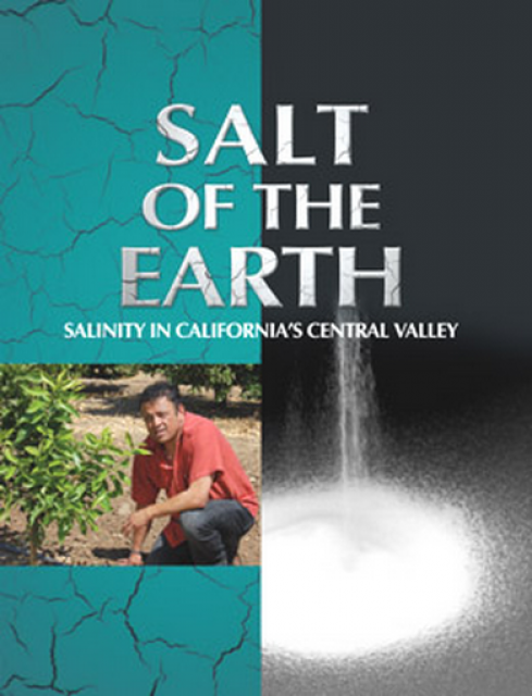
A 20-minute version of the 2008 public television documentary
Salt of the Earth: Salinity in California’s Central Valley. This
DVD is ideal for showing at community forums and speaking
engagements to help the public understand the complex issues
surrounding the problem of salt build up in the Central Valley
potential – but costly – solutions. Narrated by comedian Paul
Rodriquez.
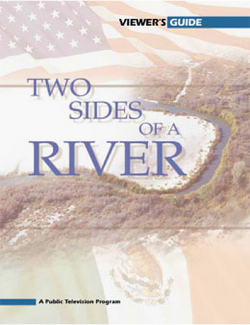
California’s little-known New River has been called one of North
America’s most polluted. A closer look reveals the New River is
full of ironic twists: its pollution has long defied cleanup, yet
even in its degraded condition, the river is important to the
border economies of Mexicali and the Imperial Valley and a
lifeline that helps sustain the fragile Salton Sea ecosystem.
Now, after decades of inertia on its pollution problems, the New
River has emerged as an important test of binational cooperation
on border water issues. These issues were profiled in the 2004
PBS documentary Two Sides of a River.
A watershed is the land area that drains snowmelt and rain into a
network of lakes, streams, rivers and other waterways. It
typically is identified by the largest draining watercourse
within the system. In California, for example, the Sacramento River Basin is the
state’s largest watershed.
As part of the historic Colorado
River Delta, the Salton Sea regularly filled and dried for
thousands of years due to its elevation of 237 feet below
sea level.
The most recent version of the Salton Sea was formed in 1905 when
the Colorado River broke
through a series of dikes and flooded the seabed for two years,
creating California’s largest inland body of water. The
Salton Sea, which is saltier than the Pacific Ocean, includes 130
miles of shoreline and is larger than Lake Tahoe.
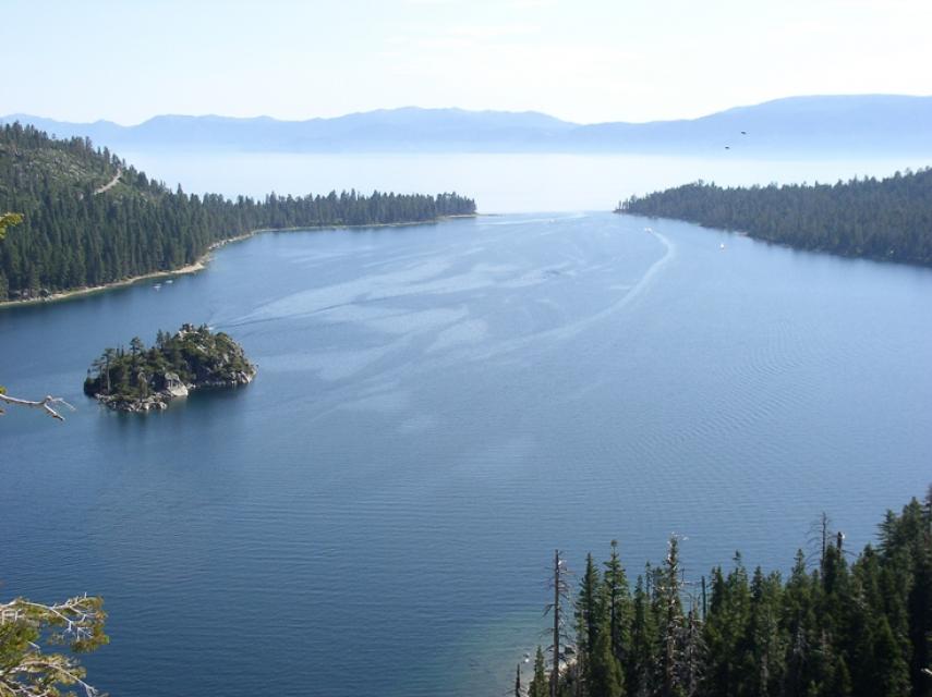
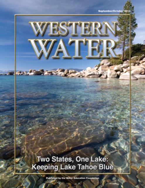
Lake Tahoe is one of the world’s most beautiful yet vulnerable
lakes. Renowned for its remarkable clarity, Tahoe straddles the
Nevada-California border, stretching 22 miles long and 12 miles
wide in a granitic bowl high in the Sierra Nevada.
Tahoe sits 6,225 feet above sea level. Its deepest point is 1,645
feet, making it the second-deepest lake in the nation, after
Oregon’s Crater Lake, and the tenth deepest in the world.
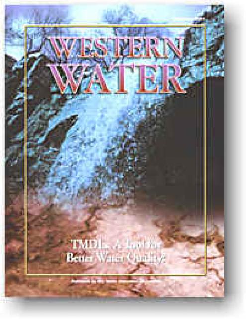
The continued effort to improve water quality and reduce nonpoint
source pollution will hinge largely on a little-known pollution
control strategy known as total maximum daily loads (TMDLs),
which describe the amount of a particular pollutant that a water
body can absorb on a daily basis while remaining safe for
wildlife and people. While by no means a comprehensive
explanation of all the factors surrounding this complex subject,
this issue of Western Water provides a snapshot of TMDLs and what
they mean for water quality, supply and reliability.
2002 marks the 30th anniversary of one of the most significant
environmental laws in American history, the Clean Water Act
(CWA). The CWA has had remarkable success, reversing years of
neglect and outright abuse of the nation’s waters. But challenges
remain as attention turns to the thorny issue of cleaning up
nonpoint sources of pollution.
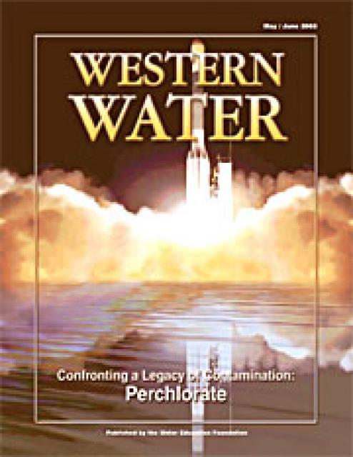
This issue of Western Water examines the problem of perchlorate
contamination and its ramifications on all facets of water
delivery, from the extensive cleanup costs to the search for
alternative water supplies. In addition to discussing the threat
posed by high levels of perchlorate in drinking water, the
article presents examples of areas hard hit by contamination and
analyzes the potential impacts of forthcoming drinking water
standards for perchlorate.
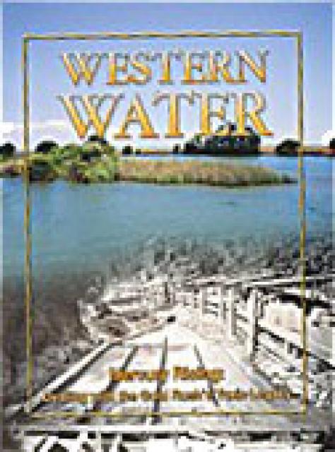
This issue of Western Water examines the presence of mercury in
the environment and the challenge of limiting the threat posed to
human health and wildlife. In addition to outlining the extent of
the problem and its resistance to conventional pollution
remedies, the article presents a glimpse of some possible courses
of action for what promises to be a long-term problem.
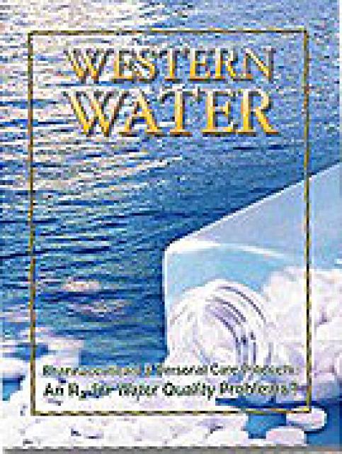
This issue of Western Water examines PPCPs – what they are, where
they come from and whether the potential exists for them to
become a water quality problem. With the continued emphasis on
water quality and the fact that many water systems in the West
are characterized by flows dominated by effluent contributions,
PPCPs seem likely to capture interest for the foreseeable future.
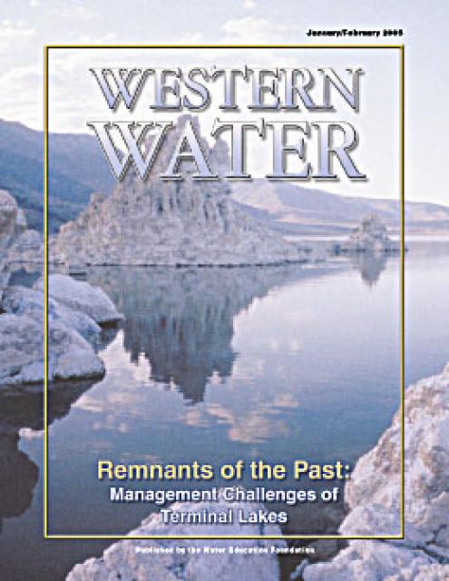
This issue of Western Water examines the challenges facing state,
federal and tribal officials and other stakeholders as they work
to manage terminal lakes. It includes background information on
the formation of these lakes, and overviews of the water quality,
habitat and political issues surrounding these distinctive bodies
of water. Much of the information in this article originated at
the September 2004 StateManagement Issues at Terminal Water
Bodies/Closed Basins conference.
This issue of Western Water examines that process. Much
of the information is drawn from discussions that occurred at the
November 2005 Selenium Summit sponsored by the Foundation and the
California Department of Water Resources. At that summit, a
variety of experts presented findings and the latest activities
from areas where selenium is of primary interest.
This issue of Western Water looks at some of the issues
facing drinking water providers, such as compliance with
increasingly stringent treatment requirements, the need to
improve source water quality and the mission of continually
informing consumers about the quality of water they receive.
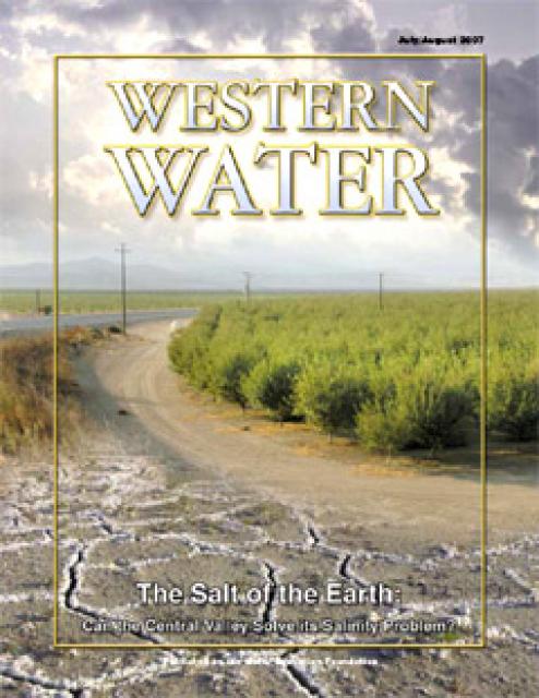
This Western Water looks at proposed new measures to deal with
the century-old problem of salinity with a special focus on San
Joaquin Valley farms and cities.
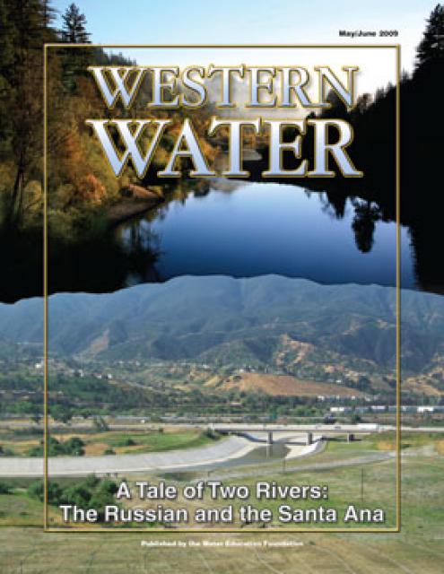
This printed issue of Western Water examines the Russian and
Santa Ana rivers – areas with ongoing issues not dissimilar to
the rest of the state – managing supplies within a lingering
drought, improving water quality and revitalizing and restoring
the vestiges of the native past.
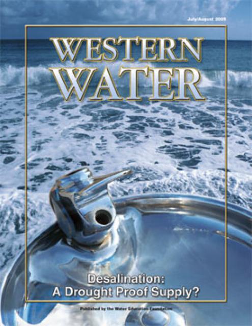
This printed issue of Western Water examines
desalination – an issue that is marked by great optimism and
controversy – and the expected role it might play as an
alternative water supply strategy.
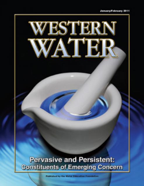
This printed issue of Western Water, based on presentations
at the November 3-4, 2010 Water Quality Conference in Ontario,
Calif., looks at constituents of emerging concerns (CECs) – what
is known, what is yet to be determined and the potential
regulatory impacts on drinking water quality.
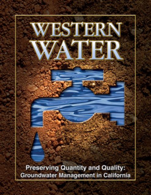
This printed issue of Western Water examines
groundwater management and the extent to which stakeholders
believe more efforts are needed to preserve and restore the
resource.
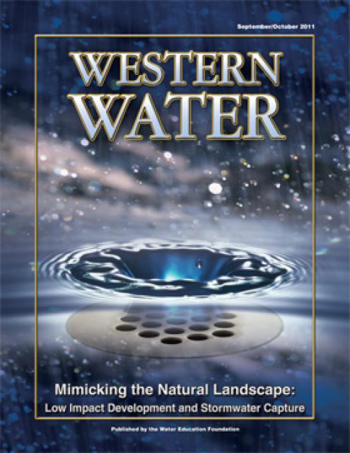
This printed issue of Western Water discusses low
impact development and stormwater capture – two areas of emerging
interest that are viewed as important components of California’s
future water supply and management scenario.
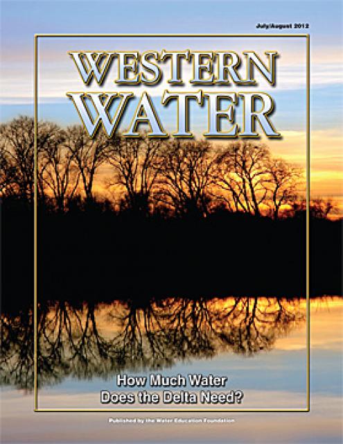
This printed issue of Western Water examines the issues
associated with the State Water Board’s proposed revision of the
water quality Bay-Delta Plan, most notably the question of
whether additional flows are needed for the system, and how they
might be provided.
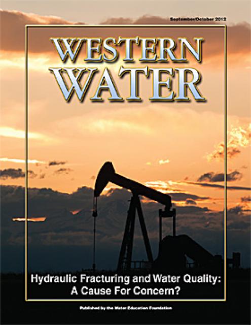
This printed issue of Western Water looks at hydraulic
fracturing, or “fracking,” in California. Much of the information
in the article was presented at a conference hosted by the
Groundwater Resources Association of California.
This printed issue of Western Water features a
roundtable discussion with Anthony Saracino, a water resources
consultant; Martha Davis, executive manager of policy development
with the Inland Empire Utilities Agency and senior policy advisor
to the Delta Stewardship Council; Stuart Leavenworth, editorial
page editor of The Sacramento Bee and Ellen Hanak, co-director of
research and senior fellow at the Public Policy Institute of
California.
This issue of Western Water looks at the BDCP and the
Coalition to Support Delta Projects, issues that are aimed at
improving the health and safety of the Delta while solidifying
California’s long-term water supply reliability.
Drawn from a special stakeholder symposium held in September 1999
in Keystone, Colorado, this issue explores how we got to where we
are today on the Colorado River; an era in which the traditional
water development of the past has given way to a more
collaborative approach that tries to protect the environment
while stretching available water supplies.
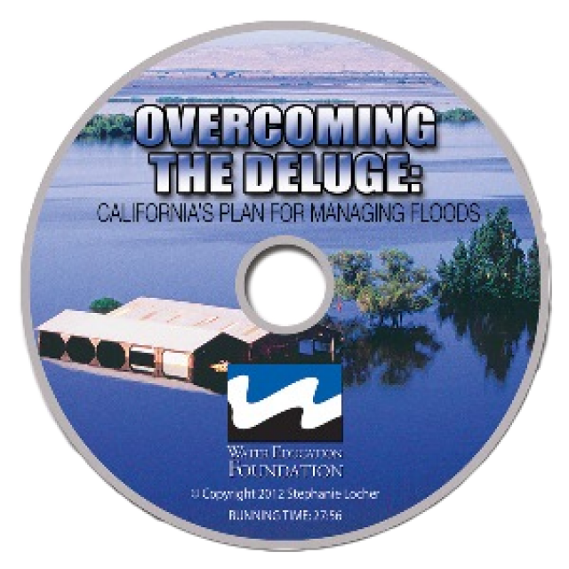
This 30-minute documentary, produced in 2011, explores the past,
present and future of flood management in California’s Central
Valley. It features stories from residents who have experienced
the devastating effects of a California flood firsthand.
Interviews with long-time Central Valley water experts from
California Department of Water Resources (FloodSAFE), U.S. Army
Corps of Engineers, Bureau of Reclamation, Central Valley Flood
Management Program and environmental groups are featured as they
discuss current efforts to improve the state’s 150-year old flood
protection system and develop a sustainable, integrated, holistic
flood management plan for the Central Valley.
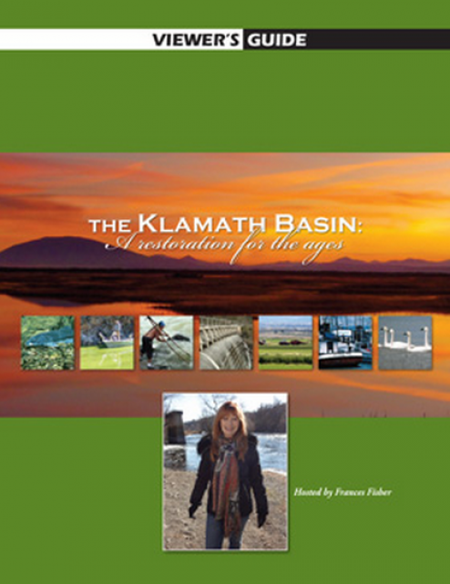
20-minute version of the 2012 documentary The Klamath Basin: A
Restoration for the Ages. This DVD is ideal for showing at
community forums and speaking engagements to help the public
understand the complex issues related to complex water management
disputes in the Klamath River Basin. Narrated by actress Frances
Fisher.
For over a century, the Klamath River Basin along the Oregon and
California border has faced complex water management disputes. As
relayed in this 2012, 60-minute public television documentary
narrated by actress Frances Fisher, the water interests range
from the Tribes near the river, to energy producer PacifiCorp,
farmers, municipalities, commercial fishermen, environmentalists
– all bearing legitimate arguments for how to manage the water.
After years of fighting, a groundbreaking compromise may soon
settle the battles with two epic agreements that hold the promise
of peace and fish for the watershed. View an excerpt from the
documentary here.
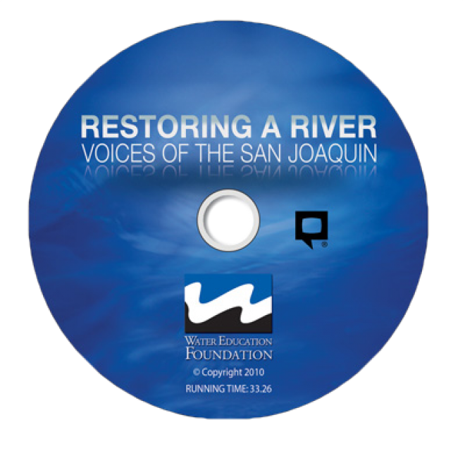
This 30-minute documentary-style DVD on the history and current
state of the San Joaquin River Restoration Program includes an
overview of the geography and history of the river, historical
and current water delivery and uses, the genesis and timeline of
the 1988 lawsuit, how the settlement was reached and what was
agreed to.
This 25-minute documentary-style DVD, developed in partnership
with the California Department of Water Resources, provides an
excellent overview of climate change and how it is already
affecting California. The DVD also explains what scientists
anticipate in the future related to sea level rise and
precipitation/runoff changes and explores the efforts that are
underway to plan and adapt to climate.
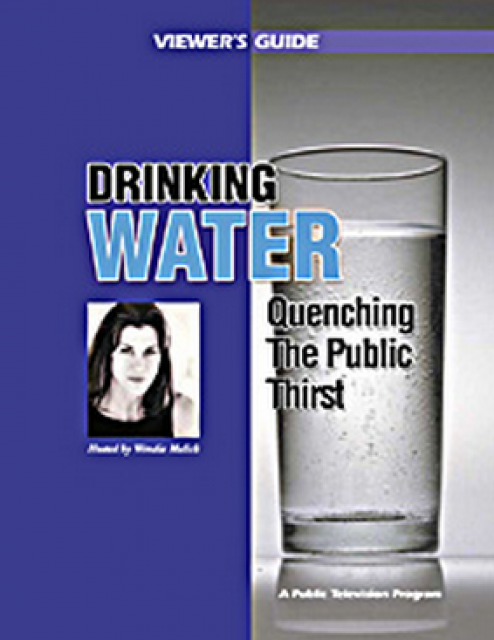
Many Californians don’t realize that when they turn on the
faucet, the water that flows out could come from a source close
to home or one hundreds of miles away. Most people take their
water for granted; not thinking about the elaborate systems and
testing that go into delivering clean, plentiful water to
households throughout the state. Where drinking water comes from,
how it’s treated, and what people can do to protect its quality
are highlighted in this 2007 PBS documentary narrated by actress
Wendie Malick.
A 30-minute version of the 2007 PBS documentary Drinking Water:
Quenching the Public Thirst. This DVD is ideal for showing at
community forums and speaking engagements to help the public
understand the complex issues surrounding the elaborate systems
and testing that go into delivering clean, plentiful water to
households throughout the state.
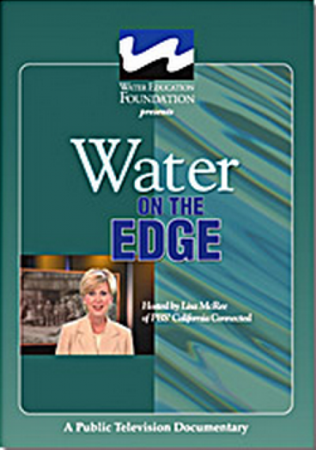
Water truly has shaped California into the great state it is
today. And if it is water that made California great, it’s the
fight over – and with – water that also makes it so critically
important. In efforts to remap California’s circulatory system,
there have been some critical events that had a profound impact
on California’s water history. These turning points not only
forced a re-evaluation of water, but continue to impact the lives
of every Californian. This 2005 PBS documentary offers a
historical and current look at the major water issues that shaped
the state we know today. Includes a 12-page viewer’s guide with
background information, historic timeline and a teacher’s lesson.
This 7-minute DVD is designed to teach children in grades 5-12
about where storm water goes – and why it is so important to
clean up trash, use pesticides and fertilizers wisely, and
prevent other chemicals from going down the storm drain. The
video’s teenage actors explain the water cycle and the difference
between sewer drains and storm drains, how storm drain water is
not treated prior to running into a river or other waterway. The
teens also offer a list of BMPs – best management practices that
homeowners can do to prevent storm water pollution.
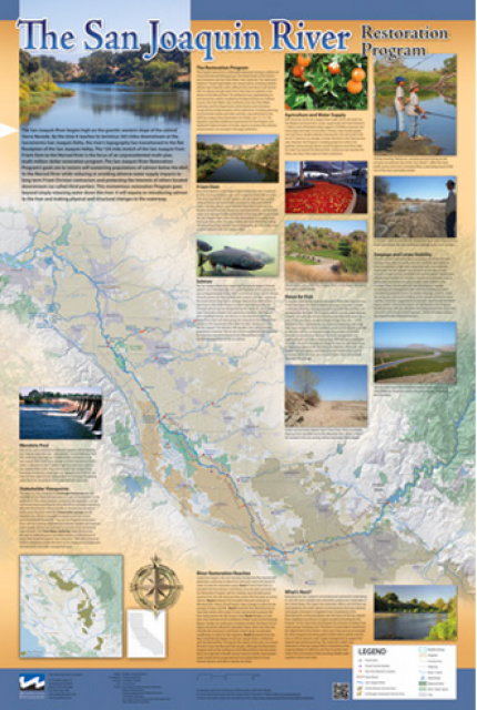
This beautiful 24×36 inch poster, suitable for framing, features
a map of the San Joaquin River. The map text focuses on the San
Joaquin River Restoration Program, which aims to restore flows
and populations of Chinook salmon to the river below Friant Dam
to its confluence with the Merced River. The text discusses the
history of the program, its goals and ongoing challenges with
implementation.
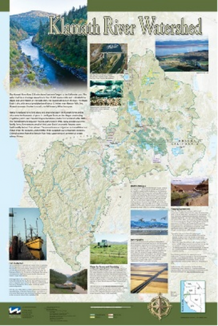
This beautiful 24×36-inch poster, suitable for framing, displays
the rivers, lakes and reservoirs, irrigated farmland, urban areas
and Indian reservations within the Klamath River Watershed. The
map text explains the many issues facing this vast,
15,000-square-mile watershed, including fish restoration;
agricultural water use; and wetlands. Also included are
descriptions of the separate, but linked, Klamath Basin
Restoration Agreement and the Klamath Hydroelectric Agreement,
and the next steps associated with those agreements. Development
of the map was funded by a grant from the U.S. Fish and Wildlife
Service.
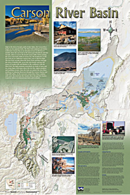
A companion to the Truckee River Basin Map poster, this
24×36-inch poster, suitable for framing, explores the Carson
River, and its link to the Truckee River. The map includes the
Lahontan Dam and reservoir, the Carson Sink, and the farming
areas in the basin. Map text discusses the region’s hydrology and
geography, the Newlands Project, land and water use within the
basin and wetlands. Development of the map was funded by a grant
from the U.S. Bureau of Reclamation Mid-Pacific Region, Lahontan
Basin Area Office.
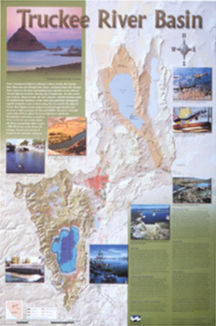
This beautiful 24×36-inch poster, suitable for framing, displays
the rivers, lakes and reservoirs, irrigated farmland, urban areas
and Indian reservations within the Truckee River Basin, including
the Newlands Project, Pyramid Lake and Lake Tahoe. Map text
explains the issues surrounding the use of the Truckee-Carson
rivers, Lake Tahoe water quality improvement efforts, fishery
restoration and the effort to reach compromise solutions to many
of these issues.
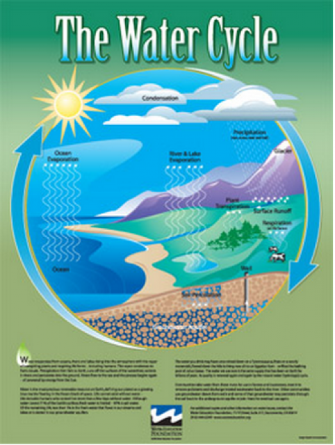
Water as a renewable resource is depicted in this 18×24 inch
poster. Water is renewed again and again by the natural
hydrologic cycle where water evaporates, transpires from plants,
rises to form clouds, and returns to the earth as precipitation.
Excellent for elementary school classroom use.
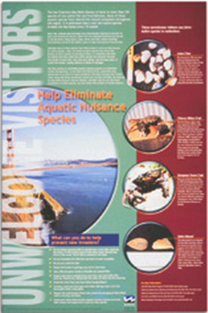
This 24×36 inch poster, suitable for framing, explains how
non-native invasive animals can alter the natural ecosystem,
leading to the demise of native animals. “Unwelcome Visitors”
features photos and information on four such species – including
the zerbra mussel – and explains the environmental and economic
threats posed by these species.
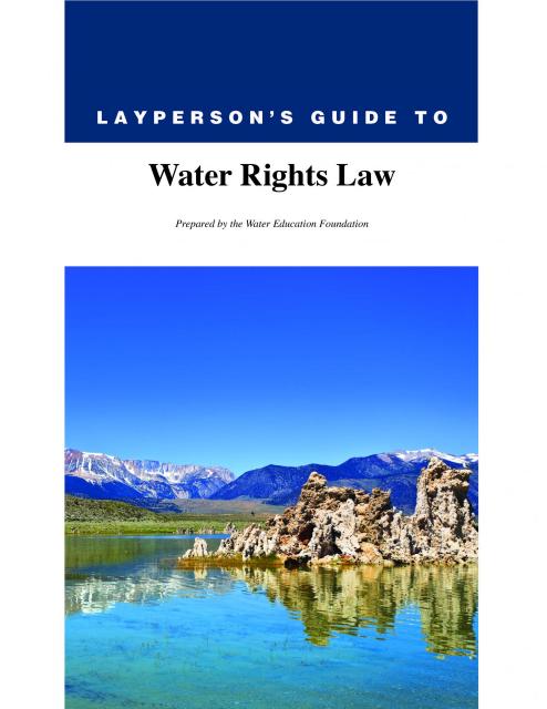
The 28-page Layperson’s Guide to Water Rights Law, recognized as
the most thorough explanation of California water rights law
available to non-lawyers, traces the authority for water flowing
in a stream or reservoir, from a faucet or into an irrigation
ditch through the complex web of California water rights.
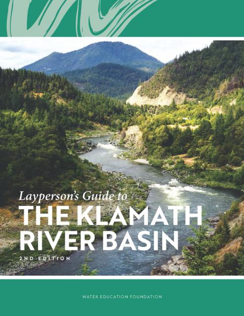
The Water Education Foundation’s second edition of
the Layperson’s Guide to The Klamath River Basin is
hot off the press and available for purchase.
Updated and redesigned, the easy-to-read overview covers the
history of the region’s tribal, agricultural and environmental
relationships with one of the West’s largest rivers — and a
vast watershed that hosts one of the nation’s oldest and
largest reclamation projects.
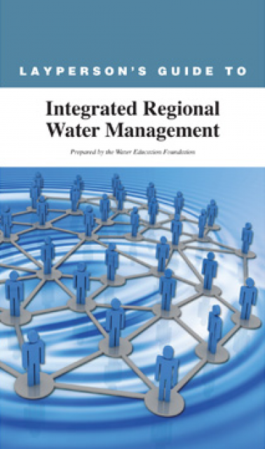
The 24-page Layperson’s Guide to Integrated Regional Water
Management (IRWM) is an in-depth, easy-to-understand publication
that provides background information on the principles of IRWM,
its funding history and how it differs from the traditional water
management approach.
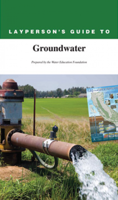
The 28-page Layperson’s Guide to Groundwater is an in-depth,
easy-to-understand publication that provides background and
perspective on groundwater. The guide explains what groundwater
is – not an underground network of rivers and lakes! – and the
history of its use in California.
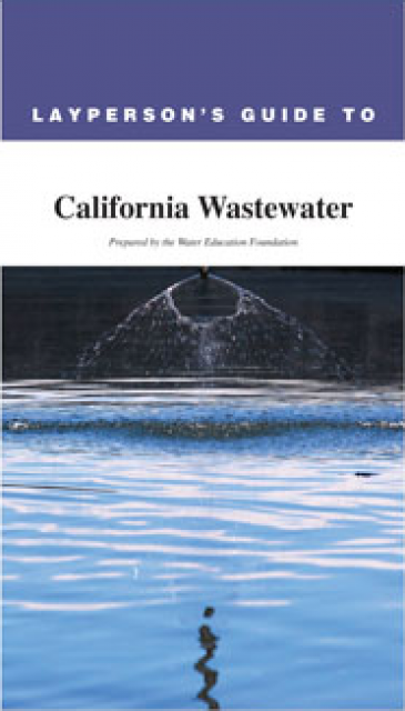
The 28-page Layperson’s Guide to California
Wastewater is an in-depth, easy-to-understand publication
that provides background information on the history of wastewater
treatment and how wastewater is collected, conveyed, treated and
disposed of today. The guide also offers case studies of
different treatment plants and their treatment processes.
Finding and maintaining a clean
water supply for drinking and other uses has been a constant
challenge throughout human history.
Today, significant technological developments in water treatment,
including monitoring and assessment, help ensure a drinking water
supply of high quality in California and the West.
The source of water and its initial condition prior to being
treated usually determines the water treatment process. [See also
Water Recycling.]
California’s nearly 40 million residents all depend on clean
water to thrive, as do the fish and wildlife and industries such
as agriculture, food processing and electronics that help power
the world’s fourth-largest economy.
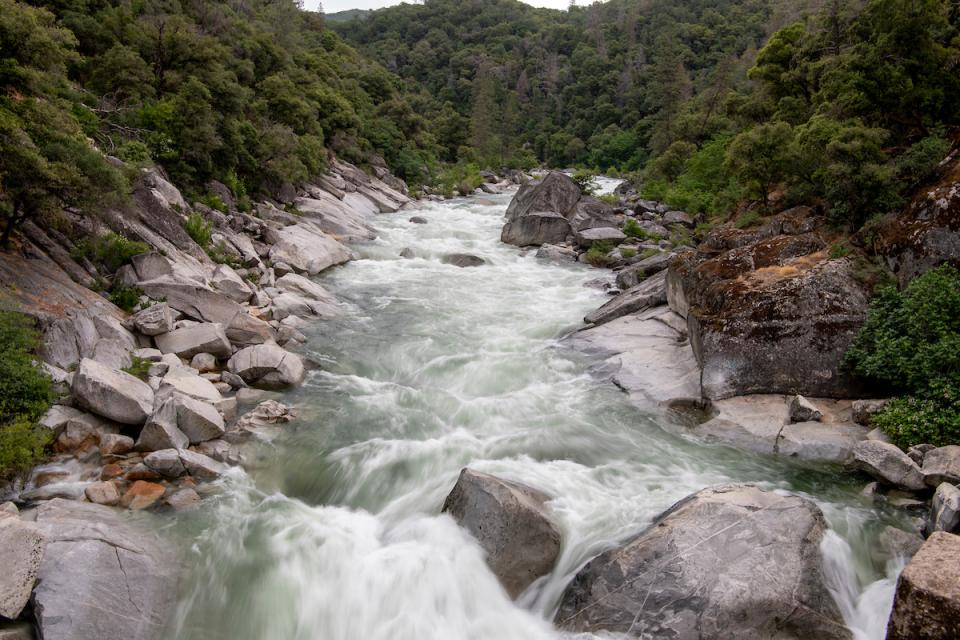
Rivers and other surface
waters, however, can carry a host of pollutants, both natural
and manufactured, that can contaminate drinking water, harm
wildlife and livestock and damage crops.
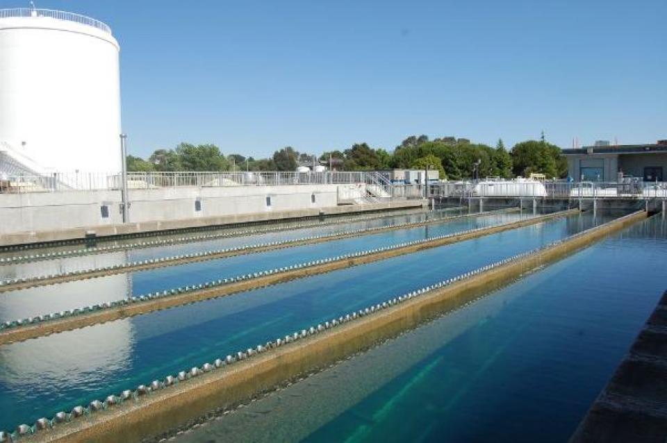
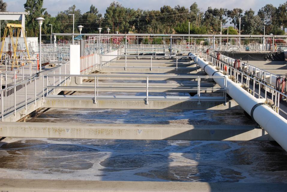
Wastewater management in California centers on the collection,
conveyance,
treatment, reuse and disposal of wastewater. This process is
conducted largely by public agencies, though there are also
private systems in places where a publicly owned treatment plant
is not feasible.
In California, wastewater treatment takes place through 100,000
miles of sanitary sewer lines and at more than 900 wastewater
treatment plants that manage the roughly 4 billion gallons of
wastewater generated in the state each day.
Front-line responsibility for protecting California’s water
quality and policing waste discharges in the state rests
primarily with nine regional water quality control boards
overseeing water quality in major watersheds from Oregon to
Mexico.
The nine regional boards are semi-autonomous from the State Water
Resources Control Board, which is charged with allocating surface
water rights and setting statewide policy on water quality. The
regional boards are comprised of seven part-time board members
appointed by the Governor and confirmed by the state Senate.
Regional boundaries are based on watersheds and water quality
requirements are based on the unique differences in climate,
topography, geology and hydrology for each watershed. Each
regional board makes critical water quality decisions for its
region, including setting standards, issuing waste discharge
requirements, determining compliance with those requirements, and
taking appropriate enforcement actions.
BACKGROUND
World War II brought rapid industrial development and population
growth to California, and with them came water pollution and
water-borne disease outbreaks. Attempts to regulate the sources
of water pollution were complicated by conflicting
interpretations of existing laws and overlapping authority among
government agencies.
In an attempt to better address California’s water pollution
concerns, the state Legislature in 1949 passed the Dickey Water
Pollution Act. Authored by Randal F. Dickey, a Republican
assemblyman from the city of Alameda, the act created a State
Water Pollution Control Board to oversee statewide water
pollution policy, and regional water pollution control boards to
be the enforcing agency in each of the state’s nine major
watersheds.
Over the next two decades, new legislation would rename the state
and regional water boards, expand the state board’s duties to
include surface water rights, and – with the enactment in 1969 of
the Porter-Cologne Water Quality Control Act – strengthen the
state’s oversight of water quality affecting beneficial uses of
surface and groundwater. The Porter-Cologne Water Quality Control
Act – coauthored by Sen.
Gordon Cologne, a Riverside County Republican, and Assemblyman Carley Porter, a Los
Angeles County Democrat – became the model for the federal Clean
Water Act in 1972.
Below are the nine regional water quality control boards and the
counties they cover.
The federal Safe Drinking Water Act sets standards for drinking
water quality in the United States.
Launched in 1974 and administered by the U.S. Environmental
Protection Agency, the Safe Drinking Water Act oversees states,
communities, and water suppliers who implement the drinking water
standards at the local level.
The act’s regulations apply to every public water system in the
United States but do not include private wells serving less than
25 people.
According to the EPA, there are more than 160,000 public water
systems in the United States.
California boasts some of the finest quality drinking water on
the planet. Every day, people turn on their tap and receive
clean, safe water with nary a thought. But the water people take
for granted isn’t so reliable for residents of small water
systems and many disadvantaged communities (DACs) in rural
agricultural areas.
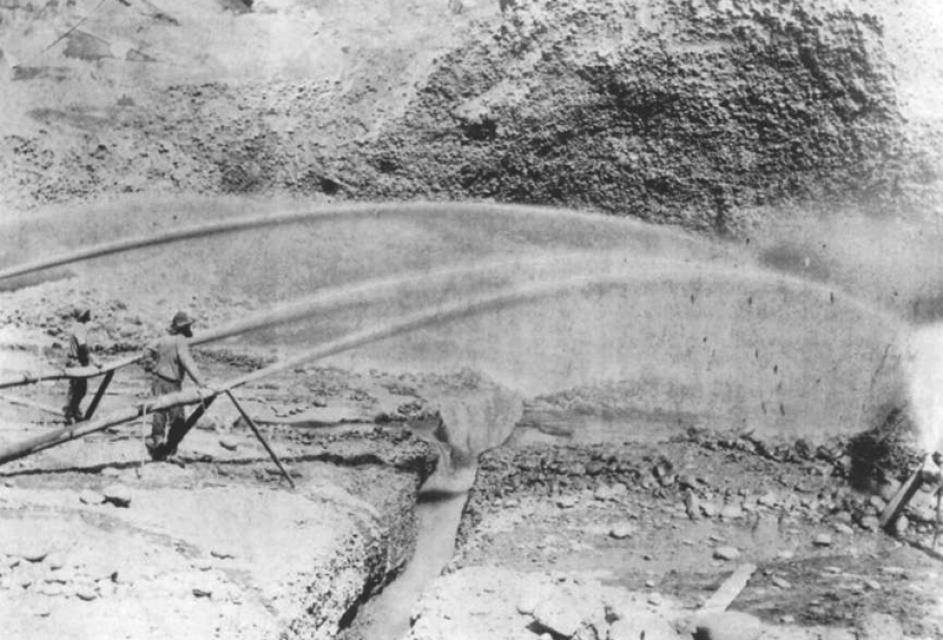
It may surprise some people to know that California is the fourth
largest producer of crude oil in the United States and has a long
history of oil exploration. Since the 1860s, wells in Kern County
and Southern California have been tapped for more than 500,000
barrels of oil each day.
For something so largely hidden from view, groundwater is an
important and controversial part of California’s water supply
picture. How it should be managed and whether it becomes part of
overarching state regulation is a topic of strong debate.
Is the water consumed by people everyday safe to drink or should
there be concern about unregulated contaminants, many of which
are the remnants of commonly used pharmaceutical and personal
care products?
For most people in the United States, clean, safe drinking water
is a given – a part of daily life that is assumed to be a
constant, readily accessible commodity. Underpinning that fact
are the vast, mostly unheralded efforts of the many people
throughout the country who work everyday to take the raw source
water from the environment and turn it into the safe drinking
water that makes life possible.
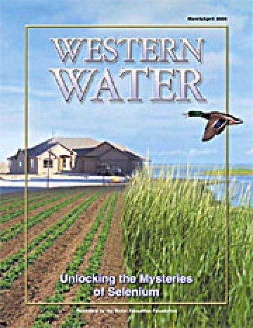
There may be no other substance in nature as vexing as selenium.
The naturally occurring trace element gained notoriety more than
20 years ago as it wreaked havoc among birds at the Kesterson
Reservoir in California’s Central Valley. The discovery of dead
and deformed birds sparked a widespread investigation that
revealed the pervasiveness of selenium throughout much of the
West; woven into the soil and rock of the landscape.
Most people take for granted the quality of their drinking water
and for good reason. Coinciding with America’s rapid urbanization
last century was the development of an extensive infrastructure
for the storage, treatment and delivery of water for generations
to come. The improvement in the quality of water provided by
water agencies has been so phenomenal that some of the best
tasting water in the world comes not from a plastic bottle, but
from the tap.
There’s danger lurking underground. The threat cannot be seen,
heard or felt immediately, but there it resides – in shallow
pockets of groundwater and deep, cold subterranean aquifers
situated hundreds of feet below the surface. The danger manifests
itself through the most vital human activity next to breathing,
the consumption of water. Experts know there is no such thing as
pure water. Microscopic bits of a host of elements that surround
us are present in the water we drink. They exist at levels that
are harmless, and in fact some of the constituents found in tap
water are beneficial to human health.
This year marks the 30th anniversary of one of the most
significant environmental laws in American history, the Clean
Water Act (CWA). The law that emerged from the consensus and
compromise that characterizes the legislative process has had
remarkable success, reversing years of neglect and outright abuse
of the nation’s waters.
The arrival of each storm brings more than rain and snow to
thirsty California. From the coastal redwoods to the streets of
Los Angeles, water flowing from hillsides and paved surfaces
carries with it a host of pollutants that befoul tributaries,
streams and rivers. The toll on the environment is measured in
closed beaches, reduced fish populations and, in some cases, a
lower quality of available water for human use. The sources of
pollution are sometimes easy to control with existing technology.
But in other cases, the ubiquitous nature of contaminants has
left regulators in a quandary over how to solve the problem.
Drinking water is the ultimate recycled resource. It is recycled
over years, centuries and millenniums. The water we use today is
the same supply with which civilization began. The water that
once coursed down the Ganges River or splashed into Julius
Caesar’s bathing pool may end up running from the tap in your
home.
Clean air vs. clean water sums up the controversy surrounding the
gasoline additive methyl tertiary butyl ether (MTBE), an
oxygenate designed to help fuel burn cleaner, reducing tailpipe
emissions. Since 1996, the year it was first used statewide on a
year-round basis, MTBE has reduced smog from motor vehicles by 15
percent, according to air quality officials. It’s as if 3.5
million cars have disappeared from the roads – no small feat in
the automobile – dependent Golden State.


")


")

 are providing safe tap water to three disadvantaged communities in the Salinas Valley, including Santa Teresa Village near the city of Soledad. (Source: UCLA Samueli School of Engineering)")
")
")
")
")
")
")
")

")
")
")
: Karla Nemeth, director, California Department of Water Resources; Gloria Gray, chair, Metropolitan Water District of Southern California; Brenda Burman, Bureau of Reclamation Commissioner; Jayne Harkins, commissioner, International Boundary and Water Commission, U.S. and Mexico; Amy Haas, executive director, Upper Colorado River Commission.")

")