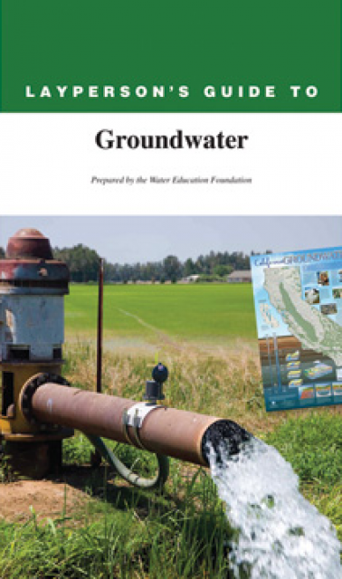
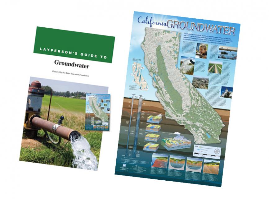
California Groundwater Map
Redesigned in 2017
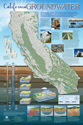
Fashioned after the popular California Water Map, this 24×36-inch poster was extensively re-designed in 2017 to better illustrate the value and use of groundwater in California, the main types of aquifers, and the connection between groundwater and surface water.
Featured aquifer cutaways represent coastal, fractured rock and San Joaquin Valley and Sacramento Valley cross sections. Beautifully designed graphics provide examples of a production well and a monitoring well for the layperson to better understand the nature of groundwater. The Layperson’s Guide to Groundwater - also updated in 2017 – complements the map.
To order 10 or more at a discounted fee, contact the Foundation at 916/444-6240 for more information.
")
, general manager of the McMullin Area Groundwater Sustainability Agency, poses with Don Cameron, general manager of Terranova Ranch, as a groundwater recharge system diverts floodwater from Kings River in Fresno County to an orchard on the ranch, on March 13, 2023. (California Department of Water Resources)")

")
")
 are providing safe tap water to three disadvantaged communities in the Salinas Valley, including Santa Teresa Village near the city of Soledad. (Source: UCLA Samueli School of Engineering)")
")
")
")
")
")