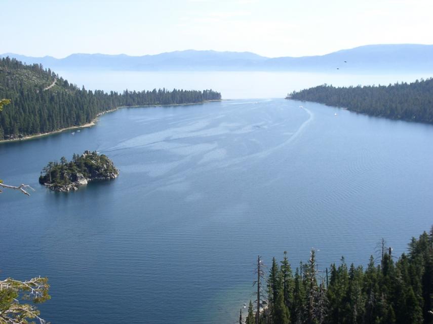
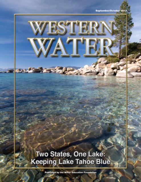
World renowned for its crystal clear, azure water, Lake Tahoe
straddles the Nevada-California border. However, the lake’s
clarity has declined in the last 40 years due to accumulated
effects of development.
At 1,645 feet, Lake Tahoe is the second deepest lake in the
United States and the 10th deepest in the world. Lake Tahoe sits
6,225 feet above sea level, and is 22 miles long and 12 miles
wide.
Approximately 40 percent of the Tahoe Basin’s rain and snow fall
directly into the lake, contributing to Lake Tahoe’s legendary
clarity. The remaining precipitation drains through granitic
soils, which are relatively sterile and create a good filtering
system.
The lake’s vitality is threatened by several factors
including invasive species (trout and bass), stormwater
runoff and increasing temperatures as a part of ongoing climate
change. Meanwhile, drought conditions have led the lake to be the
driest it has been in a century.
Each year for the last 50, researchers from UC Davis have
boarded the Research Vessel John LeConte around midday and
slowly motored out into Lake Tahoe’s vast expanse. Somewhere in
the middle, they come to a stop, bobbing on the turquoise
surface. The researchers look over the side, down into one of
the deepest lakes in the world and drop a 10-inch white disk,
not much different than a dinner plate, into the water. …
Measurements taken for this year’s State of the Lake report
show a water clarity of just under 70 feet, roughly 30 feet
less than in 1960. Though researchers are cautiously
optimistic about that reading because it indicates clarity
levels are stabilizing after decades of decline, [Tahoe
Environmental Research Center Director Stephanie] Hampton said
plateauing is not the goal.
Golden mussels are creating a growing challenge for
California’s waterways, and environmental advocates say the
state still lacks a consistent strategy to prevent the invasive
species from spreading. … The mussels have already
forced several counties to declare emergencies, while agencies
across California work to slow their spread. But as officials
respond, one major question remains: why are some waterways
requiring boat inspections while others are not? Advocates
argue that without consistent prevention measures across the
state, one waterway’s efforts could be undermined by another’s
weaker protections. … The criticism comes after the
California Department of Water Resources ended mandatory
watercraft inspections and decontamination requirements at Lake
Oroville.
Lookout Slough, a 3,400-acre wetland on the edge of the
Sacramento-San Joaquin Delta in central California, is ringed
with aquatic plants, pulsing with tides from San Francisco Bay,
and home to dozens of species of fish, amphibians, reptiles and
birds. Until two years ago, it was parched former farmland, cut
off from the Sacramento River’s floodplain by a 26-foot-tall
levee. This transformation, the delta’s largest tidal
restoration project, was prompted by the decline of the Delta
smelt, a fish barely as long as an index finger. Adapted to the
delta’s brackish tides over thousands of years, the smelt is
considered a strong indicator of ecological
health. … The question now is whether
restoring wetlands like Lookout Slough can revive the Delta
smelt.
It’s not every day that a small mountain community in the
Sierra Nevada helps shape environmental conservation efforts on
the other side of the world. But that’s exactly what happened
when three Chilean conservationists began searching for a model
to protect their country’s rapidly changing lake region.
… For nearly 70 years, Keep Tahoe Blue has worked to
protect and restore the Lake Tahoe Basin while navigating the
challenges that come with tourism, population growth and
development. To the Chilean team, Keep Tahoe Blue represented a
successful example of how environmental stewardship and
economic vitality could coexist.
The South Tahoe Public Utility District has released its 2025
Water Quality Consumer Confidence Report, confirming that the
community continues to receive safe, reliable, and high-quality
drinking water that meets or exceeds all state and federal
drinking water standards. Each year, water providers across the
country are required by the Safe Drinking Water Act to prepare
and distribute a Consumer Confidence Report to inform customers
about the quality of their drinking water. The District’s 2025
report highlights the results of thousands of water quality
tests conducted throughout the year and provides detailed
information about the source and treatment of South Lake
Tahoe’s drinking water.
Nevada experienced record low snowpacks across northern Nevada
this winter, while summer heat and low precipitation continues
to exacerbate drought in eastern Nevada. Those factors make
protecting Nevada’s limited water resources more pressing than
ever, as legislators prepare to consider a broad reaching
“Omnibus Water Bill” next year. On Wednesday, a workgroup
tasked with evaluating policy updates to Nevada Water Law
presented the Joint Interim Committee on Natural Resources a
bill proposal that would cover a wide range of water related
issues for the 2027 legislative session. … Several details
from the proposed bill were provided to lawmakers on Wednesday
and largely centered on the state’s groundwater,
including a proposal to establish county groundwater
boards and increase funding for the state’s groundwater
retirement program.
Authorities have intercepted six watercraft that illegally
attempted to launch on Lake Tahoe amid a campaign to keep
golden mussels and other invasive species out of the iconic
Sierra lake. The boaters stopped this summer by Tahoe Regional
Planning Agency inspectors were attempting to enter the lake
with tampered inspection seals. The wire seals certify a vessel
had either been decontaminated and inspected for invasive
species or was last launched in the Lake Tahoe basin, agency
officials said in a news release. … Inspectors at the
agency’s Meyers inspection station found four invasive golden
mussels aboard a boat bound for Lake Tahoe from the Sacramento
area in May, officials said. Agency officials turned the vessel
over to the California Department of Fish and Wildlife.
On average, more than 60 percent of
California’s developed water supply originates in the Sierra
Nevada and the southern spur of the Cascade Range. Our water
supply is largely dependent on the health of our Sierra forests,
which are suffering from ecosystem degradation, drought,
wildfires and widespread tree mortality.
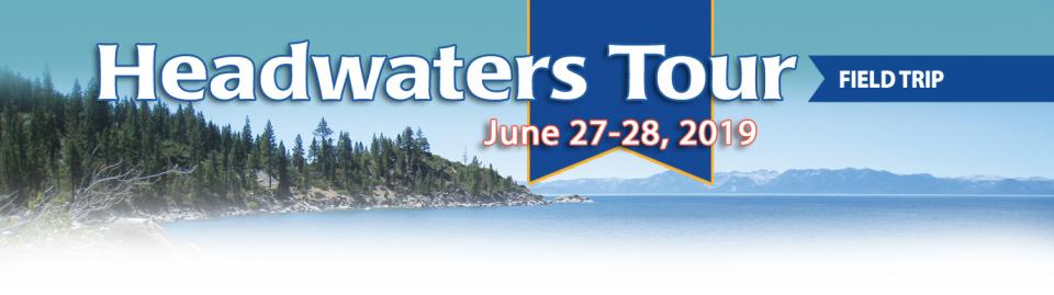
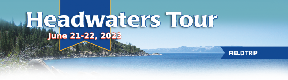
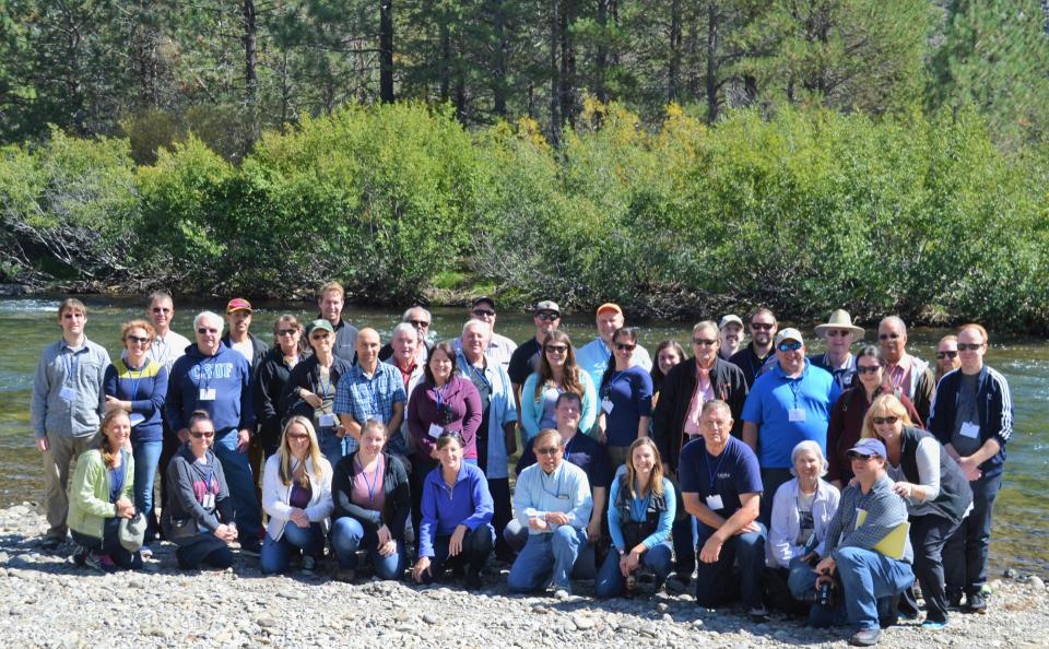
This tour ventured into the Sierra to examine water issues
that happen upstream but have dramatic impacts downstream and
throughout the state.
Sixty percent of California’s developed water supply
originates high in the Sierra Nevada mountains. Our water
supply is largely dependent on the health of our Sierra forests,
which are suffering from ecosystem degradation, drought,
wildfires and widespread tree mortality.
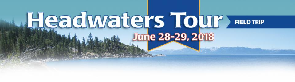
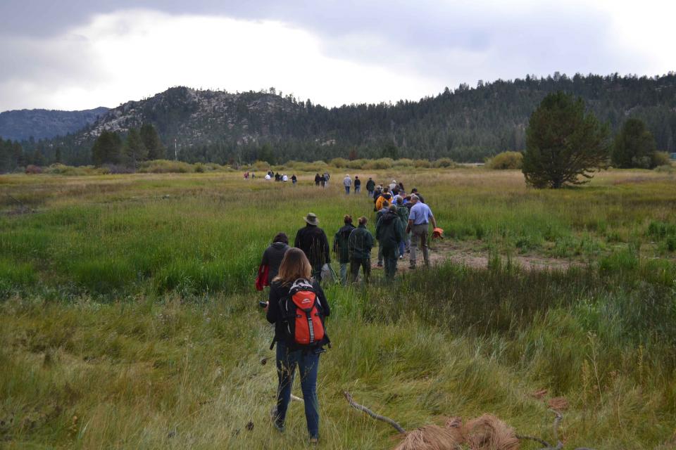
We headed into the foothills and the mountains to examine
water issues that happen upstream but have dramatic impacts
downstream and throughout the state.
GEI (Tour Starting Point)
2868 Prospect Park Dr.
Rancho Cordova, CA 95670.
Lake
Tahoe, the iconic high Sierra water body that straddles
California and Nevada, has sat for more than 10,000 years at the
heart of the Washoe tribe’s territory. In fact, the name Tahoe
came from the tribal word dá’aw, meaning lake.
The lake’s English name was the source of debate for about 100
years after it was first “discovered” in 1844 by people of
European descent when Gen. John C. Fremont’s expedition made its
way into the region. Not long after, a man who carried mail on
snowshoes from Placerville to Nevada City named it Lake Bigler in
honor of John Bigler, who served as California’s third governor.
But because Bigler was an ardent secessionist, the federal
Interior Department during the Civil War introduced the name
Tahoe in 1862. Meanwhile, California kept it as Lake Bigler and
didn’t officially recognize the name as Lake Tahoe until 1945.
Sixty percent of California’s developed water supply
originates high in the Sierra Nevada mountains. Our water
supply is largely dependent on the health of our Sierra forests,
which are suffering from ecosystem degradation, drought,
wildfires and widespread tree mortality.
This 25-minute documentary-style DVD, developed in partnership
with the California Department of Water Resources, provides an
excellent overview of climate change and how it is already
affecting California. The DVD also explains what scientists
anticipate in the future related to sea level rise and
precipitation/runoff changes and explores the efforts that are
underway to plan and adapt to climate.
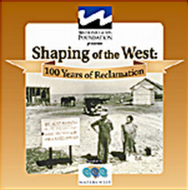
30-minute DVD that traces the history of the U.S. Bureau of
Reclamation and its role in the development of the West. Includes
extensive historic footage of farming and the construction of
dams and other water projects, and discusses historic and modern
day issues.
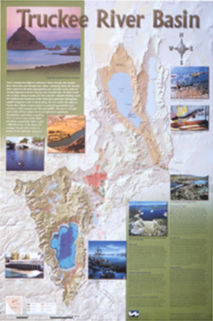
This beautiful 24×36-inch poster, suitable for framing, displays
the rivers, lakes and reservoirs, irrigated farmland, urban areas
and Indian reservations within the Truckee River Basin, including
the Newlands Project, Pyramid Lake and Lake Tahoe. Map text
explains the issues surrounding the use of the Truckee-Carson
rivers, Lake Tahoe water quality improvement efforts, fishery
restoration and the effort to reach compromise solutions to many
of these issues.
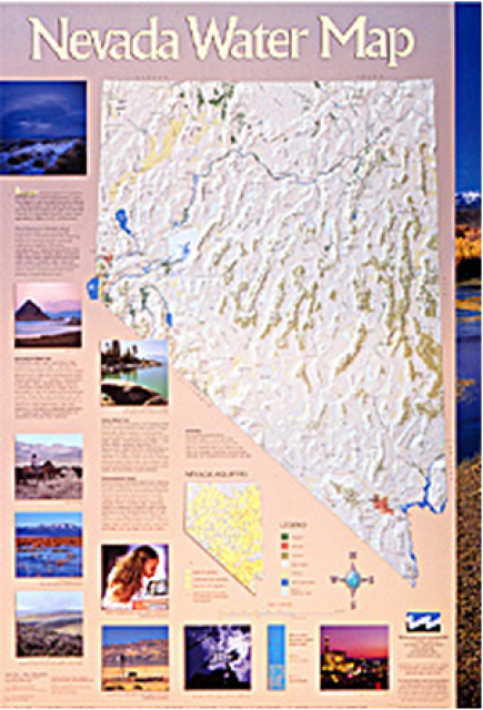
This 24×36 inch poster, suitable for framing, illustrates the
water resources available for Nevada cities, agriculture and the
environment. It features natural and manmade water resources
throughout the state, including the Truckee and Carson rivers,
Lake Tahoe, Pyramid Lake and the course of the Colorado River
that forms the state’s eastern boundary.
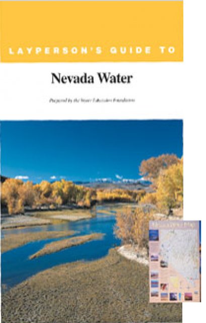
The 28-page Layperson’s Guide to Nevada Water provides an
overview of the history of water development and use in Nevada.
It includes sections on Nevada’s water rights laws, the history
of the Truckee and Carson rivers, water supplies for the Las
Vegas area, groundwater, water quality, environmental issues and
today’s water supply challenges.
A new look for our most popular product! And it’s the perfect
gift for the water wonk in your life.
Our 24×36-inch California Water Map is widely known for being the
definitive poster that shows the integral role water plays in the
state. On this updated version, it is easier to see California’s
natural waterways and man-made reservoirs and aqueducts
– including federally, state and locally funded
projects – the wild and scenic rivers system, and
natural lakes. The map features beautiful photos of
California’s natural environment, rivers, water projects,
wildlife, and urban and agricultural uses and the
text focuses on key issues: water supply, water use, water
projects, the Delta, wild and scenic rivers and the Colorado
River.
Lake Tahoe is one of the world’s most beautiful yet vulnerable
lakes. Renowned for its remarkable clarity, Tahoe straddles the
Nevada-California border, stretching 22 miles long and 12 miles
wide in a granitic bowl high in the Sierra Nevada.
Tahoe sits 6,225 feet above sea level. Its deepest point is 1,645
feet, making it the second-deepest lake in the nation, after
Oregon’s Crater Lake, and the tenth deepest in the world.
Lake Tahoe is one of the Sierra Nevada’s crown jewels, renowned
for its breathtaking clarity. The high-altitude, clear blue lake
and its surrounding basin, which lie on the California-Nevada
state line, is a spectacular natural resource that provides
environmental, economic, recreational and aesthetic benefits.


")