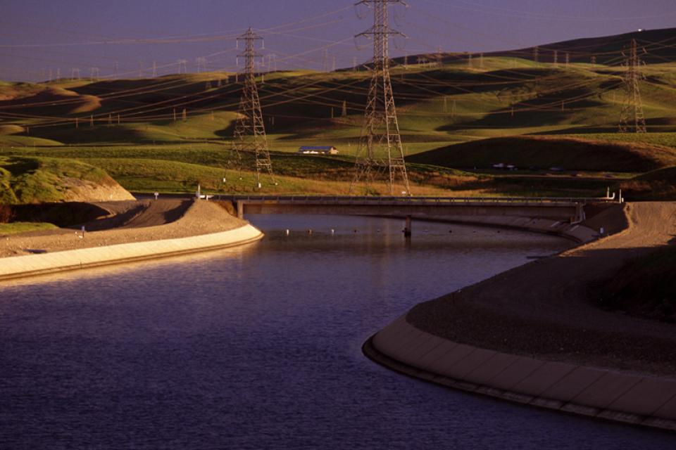
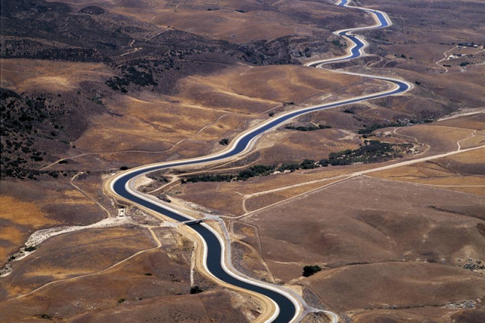
The State Water Project’s most visible facility is the
444-mile-long California Aqueduct. The aqueduct, which parallels
Interstate 5 through the San Joaquin Valley, transports water
from Oroville Dam to Lake Perris in Southern California.
The 24-page Layperson’s Guide to California Water provides an
excellent overview of the history of water development and use in
California. It includes the latest information on the state’s
changing hydrology, recent water conservation legislation and the
state’s efforts to stretch the available water supplies.
The 24-page Layperson’s Guide to the Delta explores the competing
uses and demands on California’s Sacramento-San Joaquin
Delta. The 11th edition examines this critical
water hub and its myriad challenges. The 2025 version
includes the latest information on the tunnel project, habitat
restoration efforts, climate change impacts and an updated
section on the legal and political facets of the Delta.
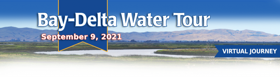
This tour guided participants on a virtual journey deep into California’s most crucial water and ecological resource – the Sacramento-San Joaquin Delta. The 720,000-acre network of islands and canals support the state’s two major water systems – the State Water Project and the Central Valley Project. The Delta and the connecting San Francisco Bay form the largest freshwater tidal estuary of its kind on the West coast.
A government agency that controls much of California’s water
supply released its initial allocation for 2021, and the
numbers reinforced fears that the state is falling into another
drought. The U.S. Bureau of Reclamation said Tuesday that most
of the water agencies that rely on the Central Valley Project
will get just 5% of their contract supply, a dismally low
number. Although the figure could grow if California gets more
rain and snow, the allocation comes amid fresh weather
forecasts suggesting the dry winter is continuing. The National
Weather Service says the Sacramento Valley will be warm and
windy the next few days, with no rain in the forecast.
Get a unique view of the San Joaquin Valley’s key dams and
reservoirs that store and transport water on our March Central
Valley Tour.
Our Central Valley
Tour, March 14-16, offers a broad view of water issues
in the San Joaquin Valley. In addition to the farms, orchards,
critical habitat for threatened bird populations, flood bypasses
and a national wildlife refuge, we visit some of California’s
major water infrastructure projects.
The Colorado River Aqueduct, a
242-mile-long channel completed in 1941 by the Metropolitan Water
District of Southern California, carries water from the Colorado River to urban Southern
California. The aqueduct is one of three conveyance systems of
imported water to Southern California, the other two being the
California Aqueduct
and the Los Angeles
Aqueduct.
This 25-minute documentary-style DVD, developed in partnership
with the California Department of Water Resources, provides an
excellent overview of climate change and how it is already
affecting California. The DVD also explains what scientists
anticipate in the future related to sea level rise and
precipitation/runoff changes and explores the efforts that are
underway to plan and adapt to climate.
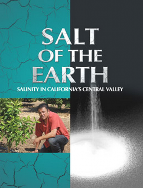
Salt. In a small amount, it’s a gift from nature. But any doctor
will tell you, if you take in too much salt, you’ll start to have
health problems. The same negative effect is happening to land in
the Central Valley. The problem scientists call “salinity” poses
a growing threat to our food supply, our drinking water quality
and our way of life. The problem of salt buildup and potential –
but costly – solutions are highlighted in this 2008 public
television documentary narrated by comedian Paul Rodriguez.
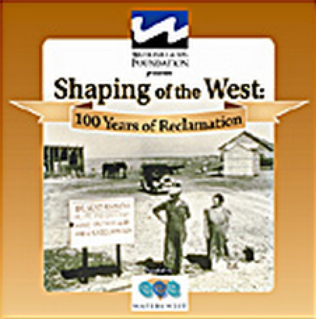
30-minute DVD that traces the history of the U.S. Bureau of
Reclamation and its role in the development of the West. Includes
extensive historic footage of farming and the construction of
dams and other water projects, and discusses historic and modern
day issues.
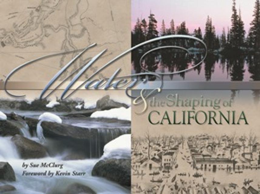
Water truly has shaped California into the great state it is
today. And if it is water that made California great, it’s the
fight over – and with – water that also makes it so critically
important. In efforts to remap California’s circulatory system,
there have been some critical events that had a profound impact
on California’s water history. These turning points not only
forced a re-evaluation of water, but continue to impact the lives
of every Californian. This 2005 PBS documentary offers a
historical and current look at the major water issues that shaped
the state we know today. Includes a 12-page viewer’s guide with
background information, historic timeline and a teacher’s lesson.
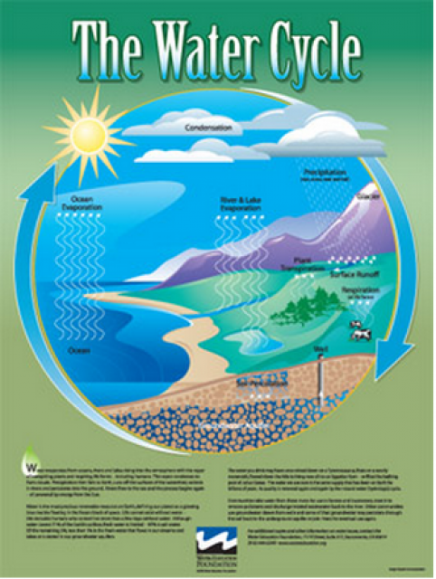
Water as a renewable resource is depicted in this 18×24 inch
poster. Water is renewed again and again by the natural
hydrologic cycle where water evaporates, transpires from plants,
rises to form clouds, and returns to the earth as precipitation.
Excellent for elementary school classroom use.
The 24-page Layperson’s Guide to the State Water Project provides
an overview of the California-funded and constructed State Water
Project.
The State Water Project is best known for the 444-mile-long
aqueduct that provides water from the Delta to San Joaquin Valley
agriculture and southern California cities. The guide contains
information about the project’s history and facilities.
A new look for our most popular product! And it’s the perfect
gift for the water wonk in your life.
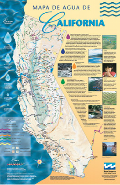
Our 24×36-inch California Water Map is widely known for being the
definitive poster that shows the integral role water plays in the
state. On this updated version, it is easier to see California’s
natural waterways and man-made reservoirs and aqueducts
– including federally, state and locally funded
projects – the wild and scenic rivers system, and
natural lakes. The map features beautiful photos of
California’s natural environment, rivers, water projects,
wildlife, and urban and agricultural uses and the
text focuses on key issues: water supply, water use, water
projects, the Delta, wild and scenic rivers and the Colorado
River.
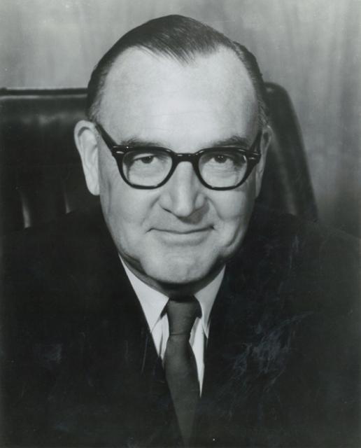
Edmund G. “Pat” Brown (1905-1996) was California’s governor from
1959-1967, exemplified the best in public service and left a
wide-ranging legacy that featured first and foremost the State Water Project (SWP)
and California
Aqueduct but also included the Fair Housing Act, the Fair
Employment Act, the Master Plan for Higher Education and highway
expansion.
One of two State Water
Project aqueducts serving Southern California, the East
Branch Aqueduct stores water in Silverwood Lake and Lake Perris.
After being pumped over the Tehachapi Mountains from the Edmonston Pumping
Plant, water for the East Branch Aqueduct passes through
Palmdale and Lancaster [see also West Branch Aqueduct]. The
water is then stored for distribution to Inland Empire cities
such as San Bernardino and Riverside.
The California Aqueduct, a critical part of the State Water
Project, carries water from the Sacramento-San Joaquin
Delta to the San Joaquin Valley and Southern California.
Established as part of a $1.75 billion bond passed by voters in
1960, the 444-mile-long California Aqueduct (formally known as
the Edmund G. Brown California Aqueduct) begins at the Harvey O.
Banks Pumping Plant in the Delta.
It parallels Interstate 5 south to the Tehachapi Mountains.
This printed issue of Western Water features a
roundtable discussion with Anthony Saracino, a water resources
consultant; Martha Davis, executive manager of policy development
with the Inland Empire Utilities Agency and senior policy advisor
to the Delta Stewardship Council; Stuart Leavenworth, editorial
page editor of The Sacramento Bee and Ellen Hanak, co-director of
research and senior fellow at the Public Policy Institute of
California.
This printed issue of Western Water examines the issues
associated with the State Water Board’s proposed revision of the
water quality Bay-Delta Plan, most notably the question of
whether additional flows are needed for the system, and how they
might be provided.