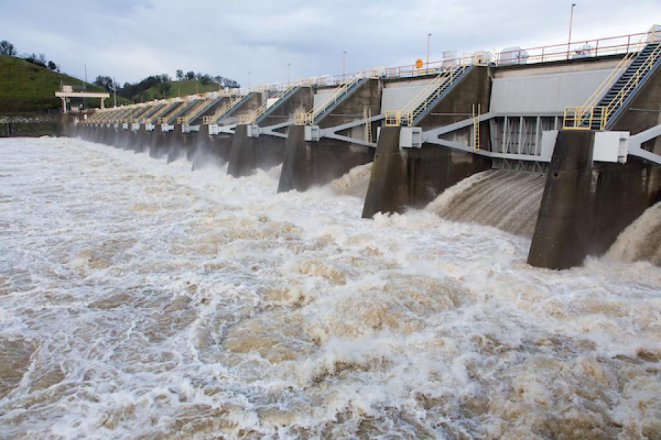
Devastating floods are almost annual
occurrences in the West and in California. With the anticipated
sea level rise and other impacts of a changing climate,
particularly heavy winter rains, flood management is increasingly
critical in California. Compounding the issue are human-made
flood hazards such as levee stability and stormwater runoff.
American River Trees (ART), a grassroots organization based
in Sacramento, arranged a walk Sunday morning to protest
a U.S. Army Corps of Engineers’ (USACE) erosion
project. The USACE project, which aims to alleviate flood risk,
threatens the destruction of nearly 700 trees and miles of
habitat in the American River Parkway, according to ART. The
group walked during its protest a two-mile stretch of trail
from the Kadema Drive River Access to Larchmont Community
Park. ART says many trails, beaches and access to the
river’s edge will be lost, and USACE hasn’t sufficiently looked
into or incorporated less destructive alternatives.
… The organization said flood risk is exaggerated as the
stretch of river is relatively straight, has slower velocities
than downstream sites, and seepage walls in reinforced levees
are built to withstand water against them.
Along the Pacific Northwest coast, scientists have long warned
of a looming threat: a massive earthquake from the Cascadia
Subduction Zone, capable of triggering tsunamis and devastating
shaking. Now, new research highlights another, often-overlooked
danger—the sudden sinking of the land itself and the
longer-term threats posed by coastal flooding. A study
authored by a team of scientists including USGS shows that a
magnitude 8 or greater earthquake today along the Cascadia
megathrust fault—stretching from northern California to
Vancouver Island, British Columbia—could cause 0.5 to 2 meters
(1.6 to 6.6 feet) of sudden land subsidence, instantly raising
relative local sea levels and more than doubling the number of
people, buildings, and roads exposed to coastal flooding.
… As climate change drives up flooding risk, the safest
move for Isleton residents might be to abandon their small city
— but short of that drastic option, insurance could provide a
safety net. Now, with help from researchers, the state has
funded its first community flood program, providing one private
insurance policy for all Isleton residents at no cost. Isleton
is piloting community-based insurance for California, which
desperately needs alternatives. … Isleton hoped to fund
the program independently after the pilot ends in 2027 by
establishing a parcel tax, but many residents seem unsupportive
of paying it. Despite the uncertain future, Isleton’s new
leadership said they plan to lock in the insurance policy this
month.
A major earthquake along a West Coast fault could have
catastrophic consequences across coastal Washington, Oregon and
northern California. Running offshore from northern
California to British Columbia, the Cascadia subduction zone
marks the boundary where the Juan de Fuca plate dives under the
North American plate. It’s also capable of producing one of the
most powerful earthquakes on Earth. … According to the study
published Monday in the PNAS scientific journal, a quake of
that scale today would drastically increase coastal flood risk.
Unlike gradual climate-driven sea level rise, this
earthquake-driven sea level rise will happen within minutes,
leaving no time for adaptation or mitigation, the study said.
Flood risk could then persist for decades or longer.
A long-feared monster earthquake off California, Oregon and
Washington could cause some coastal areas to sink by more than
6 feet, dramatically heightening the risk of flooding and
radically reshaping the region with little to no warning. Those
are the findings of a new study that examined the repercussions
of a massive earthquake on the Cascadia subduction zone, which
stretches from Northern California up to Canada’s Vancouver
Island. The study, published Monday in the journal Proceedings
of the National Academy of Sciences, concluded that in an
earthquake scenario with the highest level of subsidence, or
land sink, the area at risk of flooding would expand by 116
square miles, a swath that’s 2½ times the size of San
Francisco.
In the beginning there was water and land, rivers and
floodplains. Now there are levees and dams, and centuries of
history brought by the rivers dictating the fate of Sutter and
Yuba counties. Knowing the history of the land, a reasonable
person may wonder how — more than why — people have lived there
for so long. A new exhibit at the Sutter County Museum delves
into that answer, showing the history of floods and human
intervention in the Yuba-Sutter area. … The museum’s new
flood exhibit walks visitors through the evolution of the land
surrounding the Sutter Buttes and extending past the Feather
and Yuba rivers.
Construction on a $2 billion levee project that will
effectively protect more than a third of Stocktonians’ homes
from flooding kicked off this week. Local government
officials took part in a groundbreaking ceremony Friday off
March Lane at the Tenmile Slough in Brookside to launch the
Lower San Joaquin River Improvement Project. … The first
phase of the project, slated for completion in late 2026, will
see improvements made to just over a mile of the Tenmile Slough
levee, which sits directly in the backyard of many homes in the
Brookside area of west Stockton, according to a presentation on
the project’s overview. About one mile of the levee will be
upgraded to have a seepage cutoff wall, which is an added layer
of material preventing water seeping through or under the
levee.
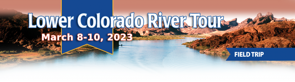
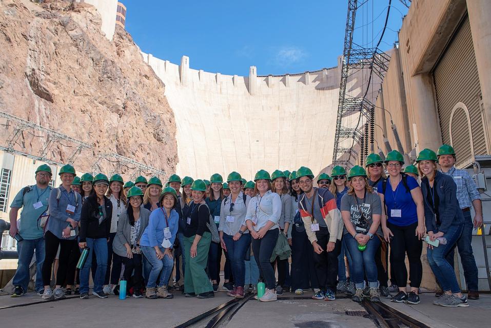
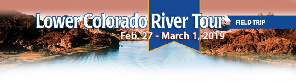
This tour explored the lower Colorado River firsthand where virtually every drop of the river is allocated, yet demand is growing from myriad sources — increasing population, declining habitat, drought and climate change.
The 1,450-mile river is a lifeline to some 40 million people in the Southwest across seven states, 30 tribal nations and Mexico. How the Lower Basin states – Arizona, California and Nevada – use and manage this water to meet agricultural, urban, environmental and industrial needs was the focus of this tour.
Hilton Garden Inn Las Vegas Strip South
7830 S Las Vegas Blvd
Las Vegas, NV 89123
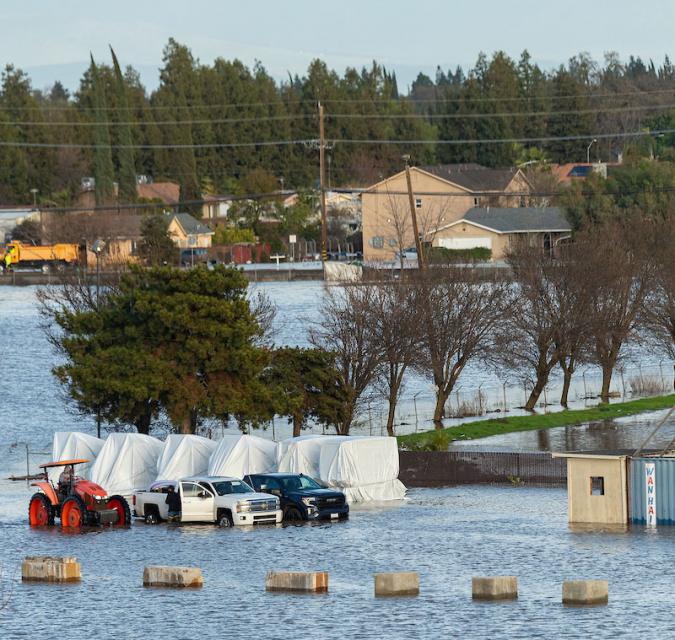
Beyond evacuations, mudslides, outages and road flooding, the
atmospheric river that drenched Southern California over the
last few days brought eye-popping rainfall totals to the region
— with still more to come Tuesday. Rainfall topped 11 inches in
some areas of Los Angeles County in three days, easily
surpassing the average amount recorded for the entire month of
February, according to the National Weather Service. “And
February is our wettest month,” said Ryan Kittell, a
meteorologist with the National Weather Service in Oxnard… As
of 10 p.m. Monday, downtown Los Angeles had recorded 7.04
inches of rain over the prior three days. The February average
is 3.80 inches. That three-day total is nearly 50% of the
average amount of rainfall for an entire year for downtown Los
Angeles.
An “extremely dangerous situation” was unfolding in the
Hollywood Hills area and around the Santa Monica Mountains
Monday, as a powerful, slow-moving storm triggered mud flows
and debris flows that damaged some homes and forced residents
to evacuate. Damage reports piled up early Monday as the storm
system steadily pummeled Southern California, and downtown L.A.
broke a 97-year-old rainfall record. On Sunday, downtown
had seen 4.1 inches of rain, which broke the record for the
calendar day set on Feb. 4, 1927, when 2.55 inches of rain was
recorded. Sunday was the third wettest February day on record
and tied for the 10th wettest day for any time of year since
record keeping began in 1877, the National Weather
Service said.
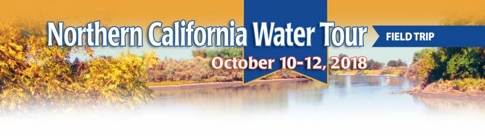
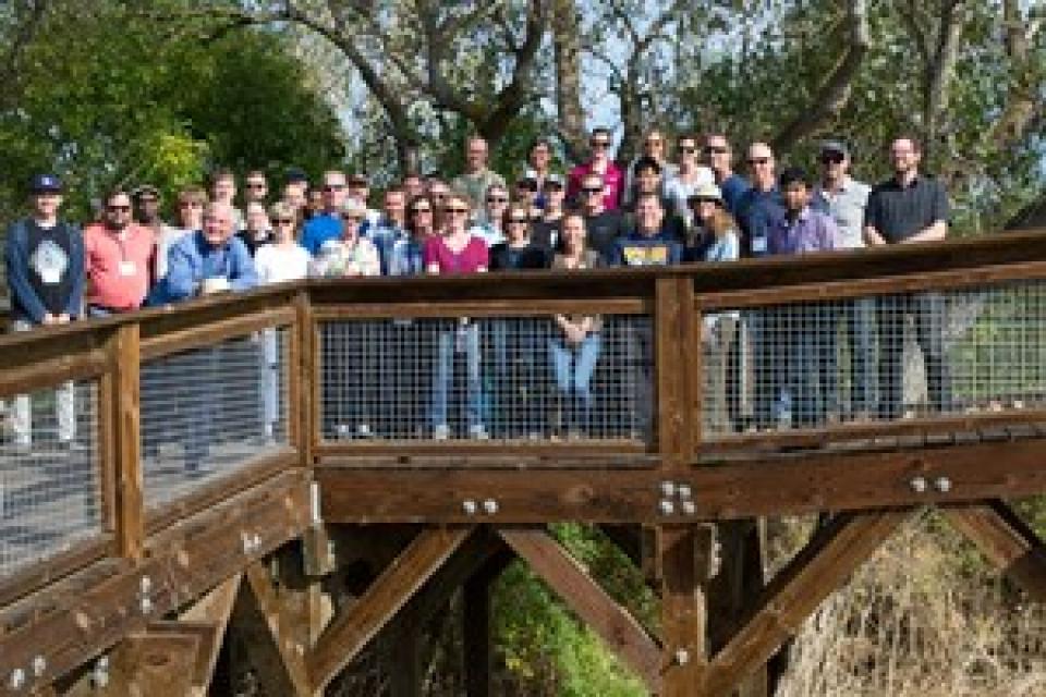
This tour explored the Sacramento River and its tributaries through a scenic landscape while learning about the issues associated with a key source for the state’s water supply.
All together, the river and its tributaries supply 35 percent of California’s water and feed into two major projects: the State Water Project and the federal Central Valley Project.
Water Education Foundation
2151 River Plaza Drive, Suite 205
Sacramento, CA 95833
Every five years the California Department of Water Resources
updates its strategic plan for managing the state’s water
resources, as required by state law.
The California Water Plan, or Bulletin 160, projects the
status and trends of the state’s water supplies and demands
under a range of future scenarios.
A new but little-known change in
California law designating aquifers as “natural infrastructure”
promises to unleash a flood of public funding for projects that
increase the state’s supply of groundwater.
The change is buried in a sweeping state budget-related law,
enacted in July, that also makes it easier for property owners
and water managers to divert floodwater for storage underground.
A new underground mapping technology
that reveals the best spots for storing surplus water in
California’s Central Valley is providing a big boost to the
state’s most groundwater-dependent communities.
The maps provided by the California Department of Water Resources
for the first time pinpoint paleo valleys and similar prime
underground storage zones traditionally found with some guesswork
by drilling exploratory wells and other more time-consuming
manual methods. The new maps are drawn from data on the
composition of underlying rock and soil gathered by low-flying
helicopters towing giant magnets.
The unique peeks below ground are saving water agencies’
resources and allowing them to accurately devise ways to capture
water from extreme storms and soak or inject the surplus
underground for use during the next drought.
“Understanding where you’re putting and taking water from really
helps, versus trying to make multimillion-dollar decisions based
on a thumb and which way the wind is blowing,” said Aaron Fukuda,
general manager of the Tulare Irrigation District, an early
adopter of the airborne electromagnetic or
AEM technology in California.
This tour explored the lower Colorado River firsthand where virtually every drop of the river is allocated, yet demand is growing from myriad sources — increasing population, declining habitat, drought and climate change.
The 1,450-mile river is a lifeline to some 40 million people in the Southwest across seven states, 30 tribal nations and Mexico. How the Lower Basin states – Arizona, California and Nevada – use and manage this water to meet agricultural, urban, environmental and industrial needs was the focus of this tour.
Hilton Garden Inn Las Vegas Strip South
7830 S Las Vegas Blvd
Las Vegas, NV 89123
It was exactly the sort of deluge
California groundwater agencies have been counting on to
replenish their overworked aquifers.
The start of 2023 brought a parade of torrential Pacific storms
to bone dry California. Snow piled up across the Sierra Nevada at
a near-record pace while runoff from the foothills gushed into
the Central Valley, swelling rivers over their banks and filling
seasonal creeks for the first time in half a decade.
Suddenly, water managers and farmers toiling in one of the
state’s most groundwater-depleted regions had an opportunity to
capture stormwater and bank it underground. Enterprising agencies
diverted water from rushing rivers and creeks into manmade
recharge basins or intentionally flooded orchards and farmland.
Others snagged temporary permits from the state to pull from
streams they ordinarily couldn’t touch.
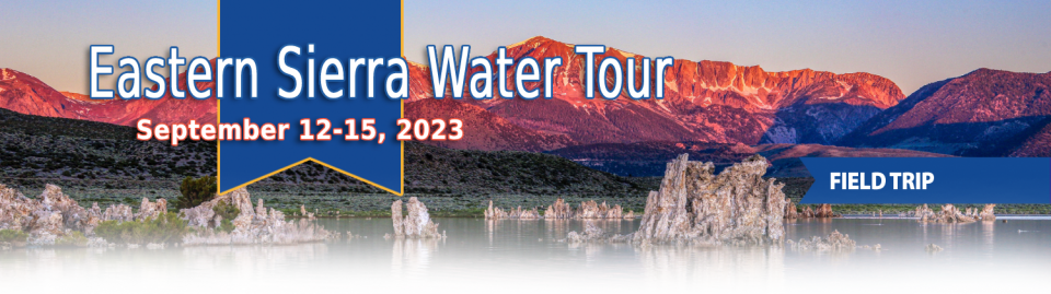
This special Foundation water tour journeyed along the Eastern Sierra from the Truckee River to Mono Lake, through the Owens Valley and into the Mojave Desert to explore a major source of water for Southern California, this year’s snowpack and challenges for towns, farms and the environment.
Growing up in the shadow of the
Rocky Mountains, Andrew Schwartz never missed an opportunity to
play in – or study – a Colorado snowstorm. During major
blizzards, he would traipse out into the icy wind and heavy
drifts of snow pretending to be a scientist researching in
Antarctica.
Decades later, still armed with an obsession for extreme weather,
Schwartz has landed in one of the snowiest places in the West,
leading a research lab whose mission is to give California water
managers instant information on the depth and quality of snow
draping the slopes of the Sierra Nevada.
This tour explored the Sacramento River and its tributaries through a scenic landscape while learning about the issues associated with a key source for the state’s water supply.
All together, the river and its tributaries supply 35 percent of California’s water and feed into two major projects: the State Water Project and the federal Central Valley Project.
Water Education Foundation
2151 River Plaza Drive, Suite 205
Sacramento, CA 95833
This tour explored the Sacramento River and its tributaries
through a scenic landscape while learning about the issues
associated with a key source for the state’s water supply.
All together, the river and its tributaries supply 35 percent of
California’s water and feed into two major projects: the State
Water Project and the federal Central Valley Project.
Water Education Foundation
2151 River Plaza Drive, Suite 205
Sacramento, CA 95833
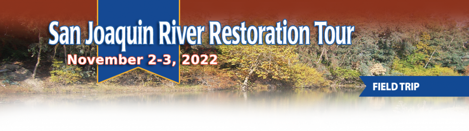
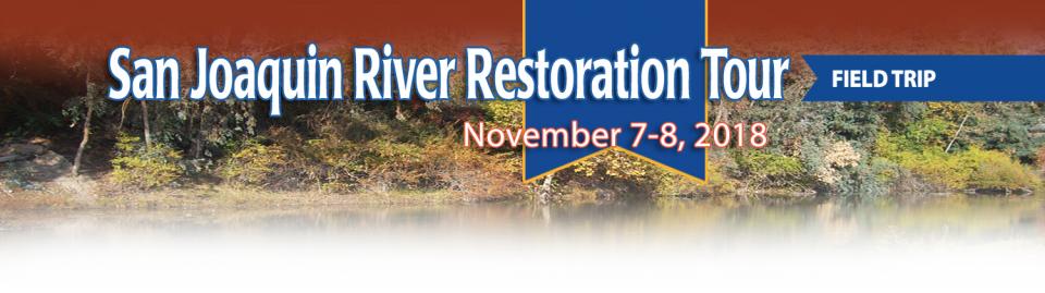
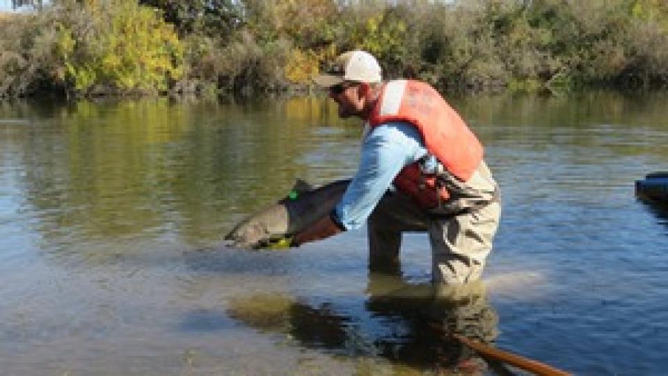
This tour traveled along the San Joaquin River to learn firsthand
about one of the nation’s largest and most expensive river
restoration projects.
The San Joaquin River was the focus of one of the most
contentious legal battles in California water history,
ending in a 2006 settlement between the federal government,
Friant Water Users Authority and a coalition of environmental
groups.
Hampton Inn & Suites Fresno
327 E Fir Ave
Fresno, CA 93720
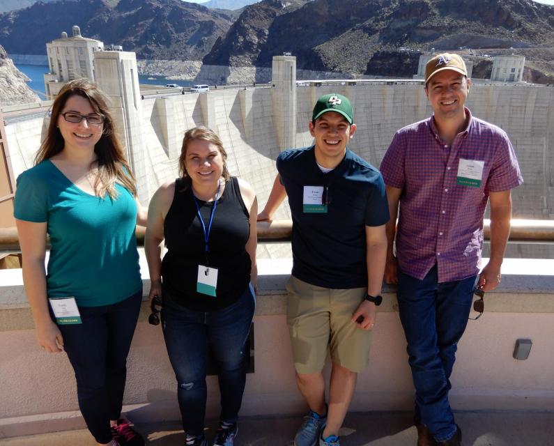
This tour explored the lower Colorado River firsthand where virtually every drop of the river is allocated, yet demand is growing from myriad sources — increasing population, declining habitat, drought and climate change.
The 1,450-mile river is a lifeline to some 40 million people in the Southwest across seven states, 30 tribal nations and Mexico. How the Lower Basin states – Arizona, California and Nevada – use and manage this water to meet agricultural, urban, environmental and industrial needs was the focus of this tour.
Hyatt Place Las Vegas At Silverton Village
8380 Dean Martin Drive
Las Vegas, NV 89139
The lower Colorado River has virtually every drop allocated, yet demand is growing from myriad sources — increasing population, declining habitat, drought and climate change.
The 1,450-mile river is a lifeline to 40 million people in the Southwest across seven states, 30 tribal nations and Mexico. How the Lower Basin states – Arizona, California and Nevada – use and manage this water to meet agricultural, urban, environmental and industrial needs was the focus of this tour.
Hyatt Place Las Vegas At Silverton Village
8380 Dean Martin Drive
Las Vegas, NV 89139
Land and waterway managers labored
hard over the course of a century to control California’s unruly
rivers by building dams and levees to slow and contain their
water. Now, farmers, environmentalists and agencies are undoing
some of that work as part of an accelerating campaign to restore
the state’s major floodplains.
Biologists have designed a variety
of unique experiments in the past decade to demonstrate the
benefits that floodplains provide for small fish. Tracking
studies have used acoustic tags to show that chinook salmon
smolts with access to inundated fields are more likely than their
river-bound cohorts to reach the Pacific Ocean. This is because
the richness of floodplains offers a vital buffet of nourishment
on which young salmon can capitalize, supercharging their growth
and leading to bigger, stronger smolts.
This tour guided participants on a virtual exploration of the Sacramento River and its tributaries and learn about the issues associated with a key source for the state’s water supply.
All together, the river and its tributaries supply 35 percent of California’s water and feed into two major projects: the State Water Project and the federal Central Valley Project.
USACE Sacramento District has a proven track record of facing
challenges head-on. When 2020 brought with it the Novel
Coronavirus, the District responded quickly to address the
needs of a rapidly changing work environment…This year marked
the start of major construction on the [American River Common
Features] project, and the pandemic hit just as crews were
mobilizing, meaning both USACE and its contractors faced
unexpected public impacts.
This event explored the lower Colorado River where virtually every drop of the river is allocated, yet demand is growing from myriad sources — increasing population, declining habitat, drought and climate change.
The 1,450-mile river is a lifeline to 40 million people in the Southwest across seven states and Mexico. How the Lower Basin states – Arizona, California and Nevada – use and manage this water to meet agricultural, urban, environmental and industrial needs was the focus of this tour.
The islands of the western
Sacramento-San Joaquin Delta are sinking as the rich peat soil
that attracted generations of farmers dries out and decays. As
the peat decomposes, it releases tons of carbon dioxide – a
greenhouse gas – into the atmosphere. As the islands sink, the
levees that protect them are at increasing risk of failure, which
could imperil California’s vital water conveyance system.
An ambitious plan now in the works could halt the decay,
sequester the carbon and potentially reverse the sinking.
Many of California’s watersheds are
notoriously flashy – swerving from below-average flows to jarring
flood conditions in quick order. The state needs all the water it
can get from storms, but current flood management guidelines are
strict and unyielding, requiring reservoirs to dump water each
winter to make space for flood flows that may not come.
However, new tools and operating methods are emerging that could
lead the way to a redefined system that improves both water
supply and flood protection capabilities.
California is chock full of rivers and creeks, yet the state’s network of stream gauges has significant gaps that limit real-time tracking of how much water is flowing downstream, information that is vital for flood protection, forecasting water supplies and knowing what the future might bring.
That network of stream gauges got a big boost Sept. 30 with the signing of SB 19. Authored by Sen. Bill Dodd (D-Napa), the law requires the state to develop a stream gauge deployment plan, focusing on reactivating existing gauges that have been offline for lack of funding and other reasons. Nearly half of California’s stream gauges are dormant.
To survive the next drought and meet
the looming demands of the state’s groundwater sustainability
law, California is going to have to put more water back in the
ground. But as other Western states have found, recharging
overpumped aquifers is no easy task.
Successfully recharging aquifers could bring multiple benefits
for farms and wildlife and help restore the vital interconnection
between groundwater and rivers or streams. As local areas around
California draft their groundwater sustainability plans, though,
landowners in the hardest hit regions of the state know they will
have to reduce pumping to address the chronic overdraft in which
millions of acre-feet more are withdrawn than are naturally
recharged.
The Colorado River Basin’s 20 years
of drought and the dramatic decline in water levels at the
river’s key reservoirs have pressed water managers to adapt to
challenging conditions. But even more extreme — albeit rare —
droughts or floods that could overwhelm water managers may lie
ahead in the Basin as the effects of climate change take hold,
say a group of scientists. They argue that stakeholders who are
preparing to rewrite the operating rules of the river should plan
now for how to handle these so-called “black swan” events so
they’re not blindsided.
The majestic beauty of the Sierra
Nevada forest is awe-inspiring, but beneath the dazzling blue
sky, there is a problem: A century of fire suppression and
logging practices have left trees too close together. Millions of
trees have died, stricken by drought and beetle infestation.
Combined with a forest floor cluttered with dry brush and debris,
it’s a wildfire waiting to happen.
Fires devastate the Sierra watersheds upon which millions of
Californians depend — scorching the ground, unleashing a
battering ram of debris and turning hillsides into gelatinous,
stream-choking mudflows.
New to this year’s slate of water
tours, our Edge of
Drought Tour Aug. 27-29 will venture into the Santa
Barbara area to learn about the challenges of limited local
surface and groundwater supplies and the solutions being
implemented to address them.
Despite Santa Barbara County’s decision to lift a drought
emergency declaration after this winter’s storms replenished
local reservoirs, the region’s hydrologic recovery often has
lagged behind much of the rest of the state.
This tour explored the lower Colorado River where virtually every drop of the river is allocated, yet demand is growing from myriad sources — increasing population, declining habitat, drought and climate change.
The 1,450-mile river is a lifeline to 40 million people in the Southwest across seven states and Mexico. How the Lower Basin states – Arizona, California and Nevada – use and manage this water to meet agricultural, urban, environmental and industrial needs is the focus of this tour.
Silverton Hotel
3333 Blue Diamond Road
Las Vegas, NV 89139
Although Santa Monica may be the most aggressive Southern California water provider to wean itself from imported supplies, it is hardly the only one looking to remake its water portfolio.
In Los Angeles, a city of about 4 million people, efforts are underway to dramatically slash purchases of imported water while boosting the amount from recycling, stormwater capture, groundwater cleanup and conservation. Mayor Eric Garcetti in 2014 announced a plan to reduce the city’s purchase of imported water from Metropolitan Water District by one-half by 2025 and to provide one-half of the city’s supply from local sources by 2035. (The city considers its Eastern Sierra supplies as imported water.)
The whims of political fate decided
in 2018 that state bond money would not be forthcoming to help
repair the subsidence-damaged parts of Friant-Kern Canal, the
152-mile conduit that conveys water from the San Joaquin River to
farms that fuel a multibillion-dollar agricultural economy along
the east side of the fertile San Joaquin Valley.
Just because El Niño may be lurking
off in the tropical Pacific, does that really offer much of a
clue about what kind of rainy season California can expect in
Water Year 2019?
Will a river of storms pound the state, swelling streams and
packing the mountains with deep layers of heavy snow much like
the exceptionally wet 2017 Water Year (Oct. 1, 2016 to Sept. 30,
2017)? Or will this winter sputter along like last winter,
leaving California with a second dry year and the possibility of
another potential drought? What can reliably be said about the
prospects for Water Year 2019?
At Water Year
2019: Feast or Famine?, a one-day event on Dec. 5 in Irvine,
water managers and anyone else interested in this topic will
learn about what is and isn’t known about forecasting
California’s winter precipitation weeks to months ahead, the
skill of present forecasts and ongoing research to develop
predictive ability.
This tour explored the Sacramento River and its tributaries
through a scenic landscape as participants learned about the
issues associated with a key source for the state’s water supply.
All together, the river and its tributaries supply 35 percent of
California’s water and feed into two major projects: the State
Water Project and the federal Central Valley Project. Tour
participants got an on-site update of Oroville Dam spillway
repairs.
There’s going to be a new governor
in California next year – and a host of challenges both old and
new involving the state’s most vital natural resource, water.
So what should be the next governor’s water priorities?
That was one of the questions put to more than 150 participants
during a wrap-up session at the end of the Water Education
Foundation’s Sept. 20 Water Summit in Sacramento.
The Colorado River Basin is more
than likely headed to unprecedented shortage in 2020 that could
force supply cuts to some states, but work is “furiously”
underway to reduce the risk and avert a crisis, Bureau of
Reclamation Commissioner Brenda Burman told an audience of
California water industry people.
During a keynote address at the Water Education Foundation’s
Sept. 20 Water Summit in Sacramento, Burman said there is
opportunity for Colorado River Basin states to control their
destiny, but acknowledged that in water, there are no guarantees
that agreement can be reached.
Farmers in the Central Valley are broiling about California’s plan to increase flows in the Sacramento and San Joaquin river systems to help struggling salmon runs avoid extinction. But in one corner of the fertile breadbasket, River Garden Farms is taking part in some extraordinary efforts to provide the embattled fish with refuge from predators and enough food to eat.
And while there is no direct benefit to one farm’s voluntary actions, the belief is what’s good for the fish is good for the farmers.
We explored the lower Colorado River where virtually every drop
of the river is allocated, yet demand is growing from myriad
sources — increasing population, declining habitat, drought and
climate change.
The 1,450-mile river is a lifeline to 40 million people in
the Southwest across seven states and Mexico. How the Lower Basin
states – Arizona, California and Nevada – use and manage this
water to meet agricultural, urban, environmental and industrial
needs was the focus of this tour.
Hampton Inn Tropicana
4975 Dean Martin Drive, Las Vegas, NV 89118
California voters may experience a sense of déjà vu this year when they are asked twice in the same year to consider water bonds — one in June, the other headed to the November ballot.
Both tackle a variety of water issues, from helping disadvantaged communities get clean drinking water to making flood management improvements. But they avoid more controversial proposals, such as new surface storage, and they propose to do some very different things to appeal to different constituencies.
Every day, people flock to Daniel
Swain’s social media platforms to find out the latest news and
insight about California’s notoriously unpredictable weather.
Swain, a climate scientist at the Institute of the
Environment and Sustainability at UCLA, famously coined the
term “Ridiculously Resilient Ridge” in December 2013 to describe
the large, formidable high-pressure mass that was parked over the
West Coast during winter and diverted storms away from
California, intensifying the drought.
Swain’s research focuses on atmospheric processes that cause
droughts and floods, along with the changing character of extreme
weather events in a warming world. A lifelong Californian and
alumnus of University of California, Davis, and Stanford
University, Swain is best known for the widely read Weather West blog, which provides
unique perspectives on weather and climate in California and the
western United States. In a recent interview with Western
Water, he talked about the Ridiculously Resilient Ridge, its
potential long-term impact on California weather, and what may
lie ahead for the state’s water supply.
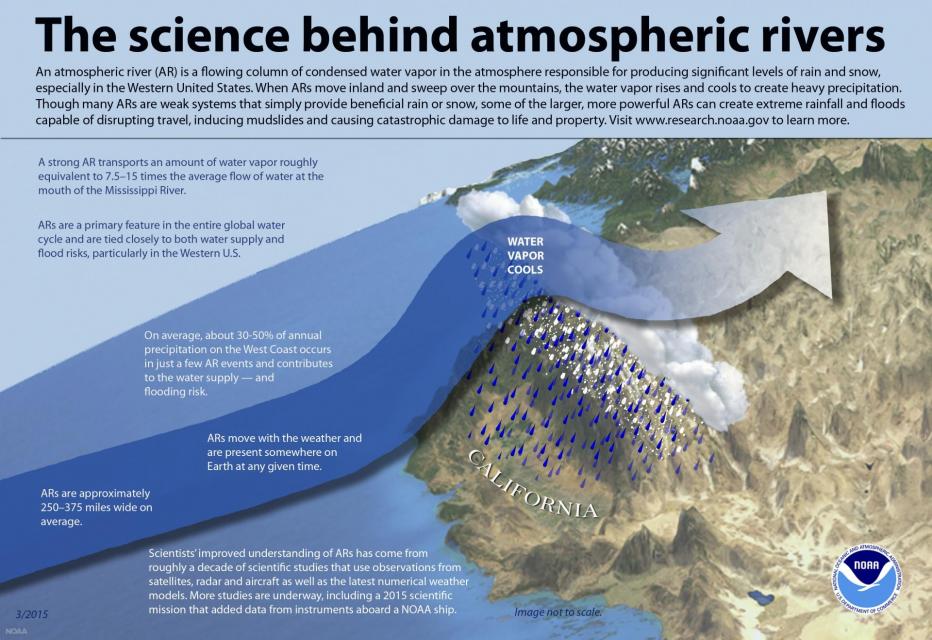
Atmospheric rivers are relatively
narrow bands of moisture that ferry precipitation across the
Pacific Ocean to the West Coast and are key to California’s
water
supply.
This three-day, two-night tour explored the lower Colorado River
where virtually every drop of the river is allocated, yet demand
is growing from myriad sources — increasing population,
declining habitat, drought and climate change.
The 1,450-mile river is a lifeline to 40 million people in
the Southwest across seven states and Mexico. How the Lower Basin
states – Arizona, California and Nevada – use and manage this
water to meet agricultural, urban, environmental and industrial
needs is the focus of this tour.
Best Western McCarran Inn
4970 Paradise Road
Las Vegas, NV 89119
This tour explored the Sacramento River and its tributaries
through a scenic landscape as participants learned about the
issues associated with a key source for the state’s water supply.
All together, the river and its tributaries supply 35 percent of
California’s water and feed into two major projects: the State
Water Project and the federal Central Valley Project. Tour
participants got an on-site update of repair efforts on the
Oroville Dam spillway.
Participants of this tour snaked along the San Joaquin River to
learn firsthand about one of the nation’s largest and most
expensive river restoration projects.
The San Joaquin River was the focus of one of the most
contentious legal battles in California water history,
ending in a 2006 settlement between the federal government,
Friant Water Users Authority and a coalition of environmental
groups.
In a state with such topsy-turvy weather as California, the
ability of forecasters to peer into the vast expanse of the
Pacific Ocean and accurately predict the arrival of storms is a
must to improve water supply reliability and flood management
planning.
The problem, according to Jeanine Jones, interstate resources
manager with the state Department of Water Resources, is
that “we have been managing with 20th century
technology with respect to our ability to do weather
forecasting.”
Work crews repairing Oroville Dam’s damaged emergency spillway
are dumping 1,200 tons of rock each hour and using shotcrete to
stabilize the hillside slope, an official with the Department of
Water Resources told the California Water Commission today.
The pace of work is “round the clock,” said Kasey Schimke,
assistant director of DWR’s legislative affairs office.
ARkStorm stands for an atmospheric
river (“AR”) that carries precipitation levels expected to occur
once every 1,000 years (“k”). The concept was presented in a 2011
report by the U.S. Geological Survey (USGS) intended to elevate
the visibility of the very real threats to human life, property
and ecosystems posed by extreme storms on the West Coast.
A hydrograph illustrates a type of activity of water during a
specific time frame. Salinity and acidity are sometimes measured,
but the most common types
are stage and discharge hydrographs. These graphs show how
surface water flow responds to fluxes in precipitation.
Prado Dam – built in 1941 in
response to the Santa Ana
River’s flood-prone past – separates the river into its
upper and lower watersheds. After the devastation of the
deadly Los
Angeles Flood of 1938 that impacted much of Southern
California, it became evident that flood protection was woefully
inadequate, prompting the U.S. Army Corps of Engineers to
construct Prado Dam.
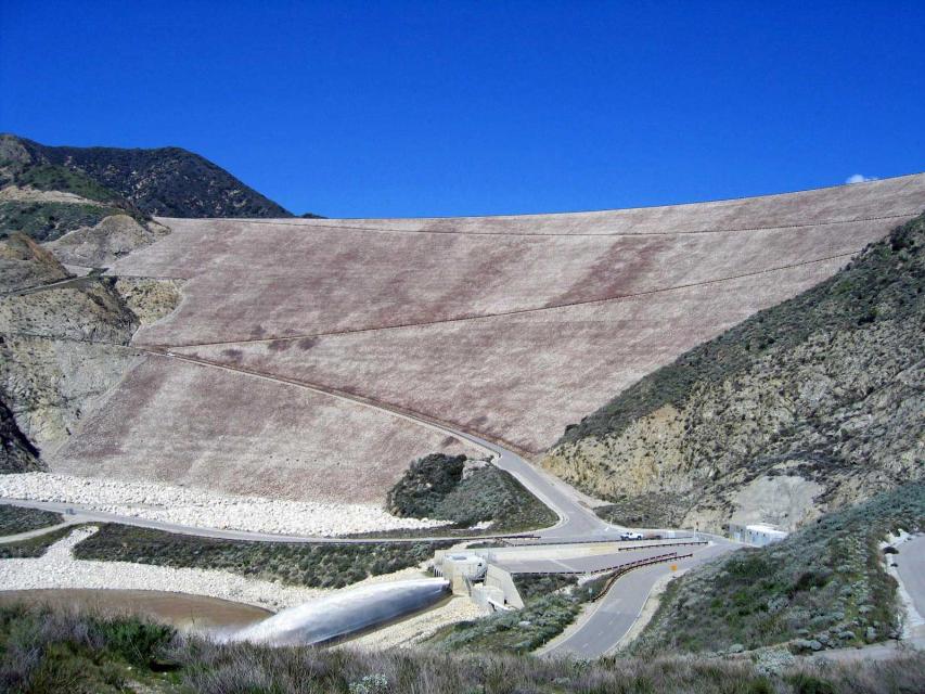
Completed in 1999, the Seven Oaks
Dam is a 550-feet-high earthen dam
on the Santa Ana River.
Its construction at the base of the San Bernardino Mountains was
a major component of the Santa
Ana River Mainstem Project, costing
$464 million and meant to protect the more than 2 million
citizens of Orange, Riverside and San Bernardino counties from
flooding. To
accomplish this, the dam releases only 7,000 cubic feet per
second (cfs) of the 85,000 cfs flowing into it, giving it
350-year
flood protection. The rest of this flood control project
consisted of raising the already existing Prado Dam downstream
and building additional channels.
Contrary to popular belief, “100-Year Flood” does not refer to a
flood that happens every century. Rather, the term describes the
statistical chance of a flood of a certain magnitude (or greater)
taking place once in 100 years. It is also accurate to say a
so-called “100-Year Flood” has a 1 percent chance of occurring in
a given year, and those living in a 100-year floodplain have,
each year, a 1 percent chance of being flooded.
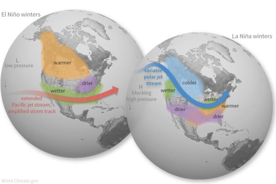
California’s seasonal weather is influenced by El Niño and La
Niña – temporary climatic conditions that, depending on their
severity, make the weather wetter or drier than normal.
El Niño and La Niña episodes typically last 9 to 12 months,
but some may last for years. While their frequency can be quite
irregular, El Niño and La Niña events occur on average every two
to seven years. Typically, El Niño occurs more frequently than La
Niña, according to the National Oceanic and Atmospheric
Administration (NOAA).
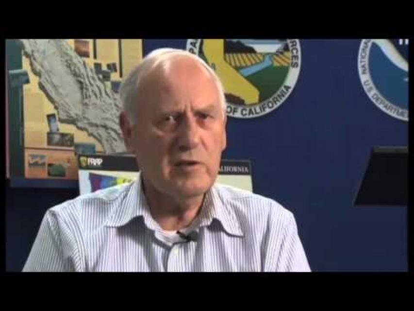
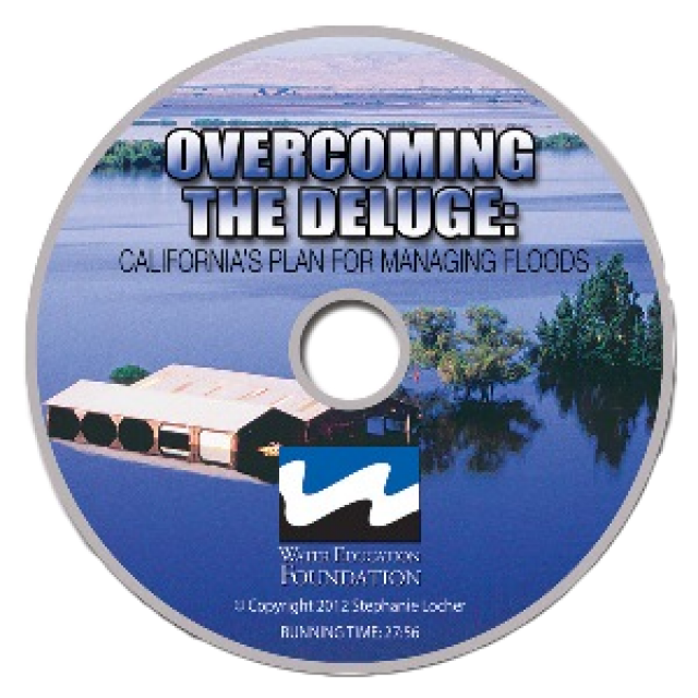
This 30-minute documentary, produced in 2011, explores the past,
present and future of flood management in California’s Central
Valley. It features stories from residents who have experienced
the devastating effects of a California flood firsthand.
Interviews with long-time Central Valley water experts from
California Department of Water Resources (FloodSAFE), U.S. Army
Corps of Engineers, Bureau of Reclamation, Central Valley Flood
Management Program and environmental groups are featured as they
discuss current efforts to improve the state’s 150-year old flood
protection system and develop a sustainable, integrated, holistic
flood management plan for the Central Valley.
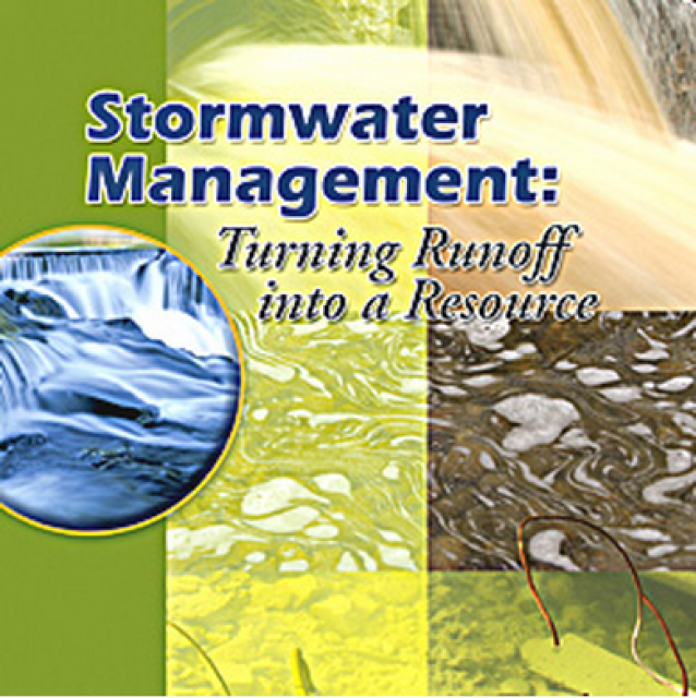
20-minute DVD that explains the problem with polluted stormwater,
and steps that can be taken to help prevent such pollution and
turn what is often viewed as a “nuisance” into a water resource
through various activities.
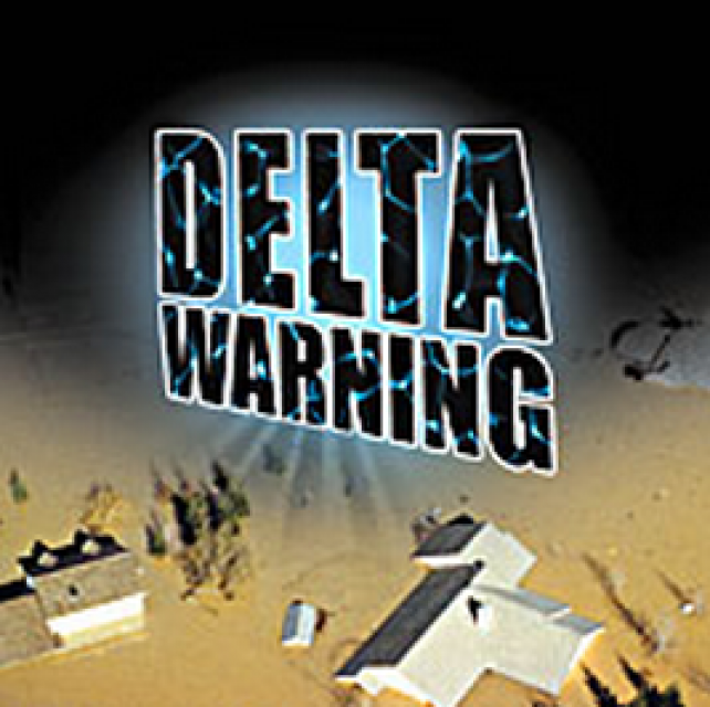
15-minute DVD that graphically portrays the potential disaster
should a major earthquake hit the Sacramento-San Joaquin Delta.
“Delta Warning” depicts what would happen in the event of an
earthquake registering 6.5 on the Richter scale: 30 levee breaks,
16 flooded islands and a 300 billion gallon intrusion of salt
water from the Bay – the “big gulp” – which would shut down the
State Water Project and Central Valley Project pumping plants.
Water truly has shaped California into the great state it is
today. And if it is water that made California great, it’s the
fight over – and with – water that also makes it so critically
important. In efforts to remap California’s circulatory system,
there have been some critical events that had a profound impact
on California’s water history. These turning points not only
forced a re-evaluation of water, but continue to impact the lives
of every Californian. This 2005 PBS documentary offers a
historical and current look at the major water issues that shaped
the state we know today. Includes a 12-page viewer’s guide with
background information, historic timeline and a teacher’s lesson.
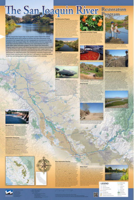
This beautiful 24×36 inch poster, suitable for framing, features
a map of the San Joaquin River. The map text focuses on the San
Joaquin River Restoration Program, which aims to restore flows
and populations of Chinook salmon to the river below Friant Dam
to its confluence with the Merced River. The text discusses the
history of the program, its goals and ongoing challenges with
implementation.
The 24-page Layperson’s Guide to the State Water Project provides
an overview of the California-funded and constructed State Water
Project.
The State Water Project is best known for the 444-mile-long
aqueduct that provides water from the Delta to San Joaquin Valley
agriculture and southern California cities. The guide contains
information about the project’s history and facilities.
The 24-page Layperson’s Guide to Integrated Regional Water
Management (IRWM) is an in-depth, easy-to-understand publication
that provides background information on the principles of IRWM,
its funding history and how it differs from the traditional water
management approach.
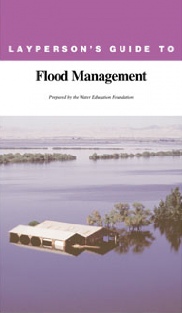
The 24-page Layperson’s Guide to Flood Management explains the
physical flood control system, including levees; discusses
previous flood events (including the 1997 flooding); explores
issues of floodplain management and development; provides an
overview of flood forecasting; and outlines ongoing flood control
projects.
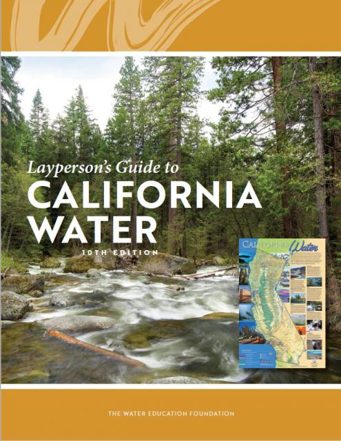
The 24-page Layperson’s Guide to California Water provides an
excellent overview of the history of water development and use in
California. It includes sections on flood management; the state,
federal and Colorado River delivery systems; Delta issues; water
rights; environmental issues; water quality; and options for
stretching the water supply such as water marketing and
conjunctive use. New in this 10th edition of the guide is a
section on the human need for water.
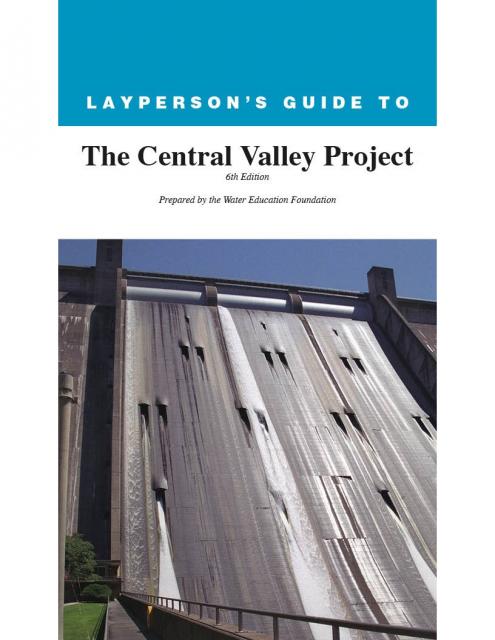
The 24-page Layperson’s Guide to the Central Valley Project
explores the history and development of the federal Central
Valley Project (CVP), California’s largest surface water delivery
system. In addition to the project’s history, the guide describes
the various facilities, operations and benefits the water
project brings to the state along with the CVP
Improvement Act (CVPIA).
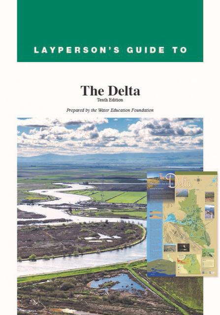
The 24-page Layperson’s Guide to the Delta explores the competing
uses and demands on California’s Sacramento-San Joaquin Delta.
Included in the guide are sections on the history of the Delta,
its role in the state’s water system, and its many complex issues
with sections on water quality, levees, salinity and agricultural
drainage, fish and wildlife, and water distribution.
A new look for our most popular product! And it’s the perfect
gift for the water wonk in your life.
Our 24×36-inch California Water Map is widely known for being the
definitive poster that shows the integral role water plays in the
state. On this updated version, it is easier to see California’s
natural waterways and man-made reservoirs and aqueducts
– including federally, state and locally funded
projects – the wild and scenic rivers system, and
natural lakes. The map features beautiful photos of
California’s natural environment, rivers, water projects,
wildlife, and urban and agricultural uses and the
text focuses on key issues: water supply, water use, water
projects, the Delta, wild and scenic rivers and the Colorado
River.
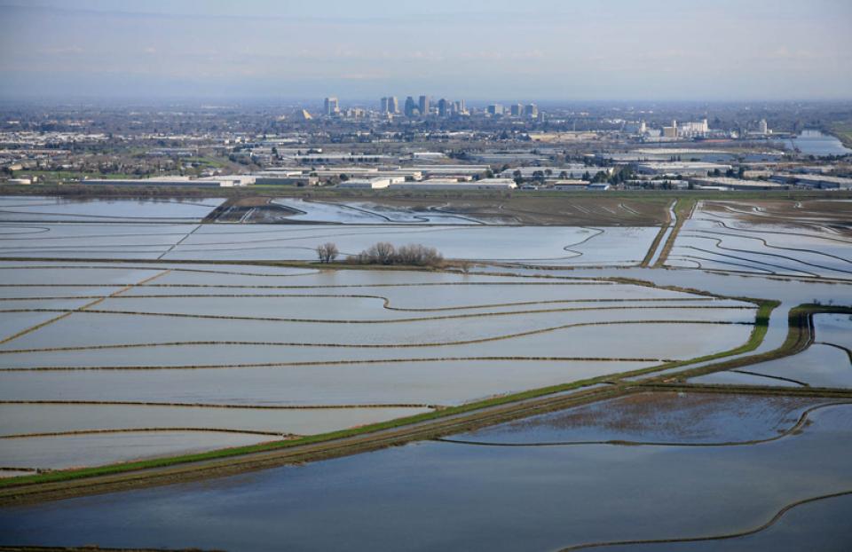
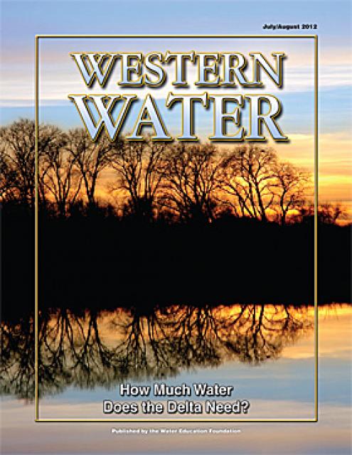
With the dual threats of aging levees and anticipated rising sea levels,
floodplains — low
areas along waterways that flood during wet years — are
increasingly at the forefront of many public policy and water
issues in California.
Adding to the challenges, many floodplains have been heavily
developed and are home to major cities such as Sacramento. Large
parts of California’s valleys are historic floodplains as well.
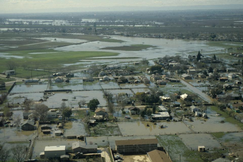
When people think of natural
disasters in California, they typically think about earthquakes.
Yet the natural disaster that residents are most likely to face
involves flooding, not fault lines. In fact, all 58 counties in
the state have declared a state of emergency from flooding at
least three times since 1950. And the state’s capital,
Sacramento, is considered one of the nation’s most flood-prone
cities. Floods also affect every Californian because flood
management projects and damages are paid with public funds.
Flood forecasting allows flood control managers to predict,
with a high degree of accuracy, when local flooding is
likely to take place.
Forecasts typically use storm runoff data, reservoir levels and
releases to predict the rise in river levels.
In Northern California the National Weather Service, in
cooperation with the state’s California-Nevada River Forecast
Center in Sacramento, forecasts flooding.
Yolo Bypass occupies a historic floodplain between Davis and
Sacramento, California. The Yolo Bypass is part of a larger
engineered system developed on the Sacramento River to
provide bypass flood areas, which act as catch basins to
deter flooding in communities such as Sacramento and West
Sacramento.
Liability for levee failure in California took a new turn after a
court ruling found the state liable for hundreds of millions of
dollars from the 1986 Linda Levee collapse in Yuba County. The
levee failure killed two people and destroyed or damaged about
3,000 homes.
The collapse also had long-term legal ramifications.
The Paterno Decision
California’s Supreme Court found that, “when a public entity
operates a flood management system built by someone else, it
accepts liability as if it had planned and built the system
itself.”
Dams have allowed Californians and others across the West to
harness and control water dating back to pre-European settlement
days when Native Americans had erected simple dams for catching
salmon.
This printed issue of Western Water This issue of Western Water
looks at climate change through the lens of some of the latest
scientific research and responses from experts regarding
mitigation and adaptation.
This issue of Western Water looks at the BDCP and the
Coalition to Support Delta Projects, issues that are aimed at
improving the health and safety of the Delta while solidifying
California’s long-term water supply reliability.
This printed issue of Western Water features a
roundtable discussion with Anthony Saracino, a water resources
consultant; Martha Davis, executive manager of policy development
with the Inland Empire Utilities Agency and senior policy advisor
to the Delta Stewardship Council; Stuart Leavenworth, editorial
page editor of The Sacramento Bee and Ellen Hanak, co-director of
research and senior fellow at the Public Policy Institute of
California.
This printed issue of Western Water examines the issues
associated with the State Water Board’s proposed revision of the
water quality Bay-Delta Plan, most notably the question of
whether additional flows are needed for the system, and how they
might be provided.
This printed issue of Western Water discusses several
flood-related issues, including the proposed Central Valley Flood
Protection Plan, the FEMA remapping process and the dispute
between the state and the Corps regarding the levee vegetation
policy.
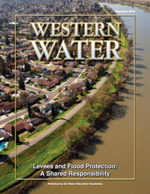
Levees are one of those pieces of engineering that are never
really appreciated until they fail. California would not exist as
it does today were it not for the extensive system of levees,
weirs and flood bypasses that have been built through the years.
This printed copy of Western Water examines climate change –
what’s known about it, the remaining uncertainty and what steps
water agencies are talking to prepare for its impact. Much of the
information comes from the October 2007 California Climate Change
and Water Adaptation Summit sponsored by the Water Education
Foundation and DWR and the November 2007 California Water Policy
Conference sponsored by Public Officials for Water and
Environmental Reform.
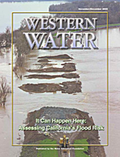
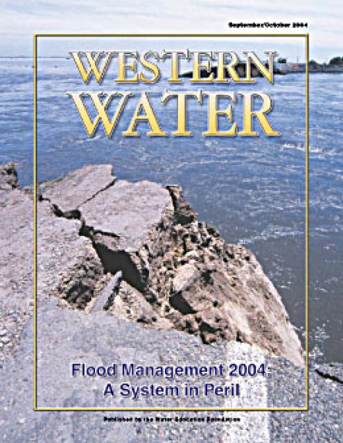
This issue of Western Water examines the extent to
which California faces a disaster equal to or greater than the
New Orleans floods and the steps being taken to recognize and
address the shortcomings of the flood control system in the
Central Valley and the Delta, which is of critical importance
because of its role in providing water to 22 million people.
Complicating matters are the state’s skyrocketing pace of growth
coupled with an inherently difficult process of obtaining secure,
long-term funds for levee repairs and continued maintenance.
Is the devastating flooding that occurred in the wake of
Hurricane Katrina in the Gulf Coast an ominous warning to
California? That’s the question policymakers are facing as they
consider how to best protect lives, property and the integrity of
the state’s water supply from the forces of raging floodwaters.
This issue of Western Water analyzes northern California’s
extensive flood control system – it’ history, current concerns,
the Paterno decision and how experts are re-thinking the concept
of flood management.
Some time in the next month or two, slight, temporal changes in
the upper atmosphere will augur the beginning of the rainy
portion of California’s Mediterranean climate. The high pressure
and sunny days should gradually give way to rain and snow,
replenishing the vast reservoir that is the state’s precious
water supply.
For many of us in northern California, some of the hope and
optimism that fills each New Year’s eve was shattered on New
Year’s Day 1997 when rain from a series of huge tropical storms
began dumping what would eventually be a total of 25 inches of
rain over the region in eight days. People were riveted to their
televisions as the disaster, which took 9 lives, unfolded.


")

")
")


")

")
")
 and temperature. This gauge near downtown Sacramento measures water depth. (Source: California Department of Water Resources)")
")
")
")

")
")

")
")
")


")


 overtops the Tisdale Weir in Sutter County south of Yuba City on Feb. 6, 2024. Weirs allow flood flows above the downstream channel capacity to escape into a bypass channel or basin. Credit: California Department of Water Resources")