‘Ridiculously Resilient Ridge,’ Climate Change and the Future of California’s Water
WESTERN WATER Q&A: Climate scientist Daniel Swain
 Every day, people flock to Daniel
Swain’s social media platforms to find out the latest news and
insight about California’s notoriously unpredictable weather.
Swain, a climate scientist at the Institute of the
Environment and Sustainability at UCLA, famously coined the
term “Ridiculously Resilient Ridge” in December 2013 to describe
the large, formidable high-pressure mass that was parked over the
West Coast during winter and diverted storms away from
California, intensifying the drought.
Every day, people flock to Daniel
Swain’s social media platforms to find out the latest news and
insight about California’s notoriously unpredictable weather.
Swain, a climate scientist at the Institute of the
Environment and Sustainability at UCLA, famously coined the
term “Ridiculously Resilient Ridge” in December 2013 to describe
the large, formidable high-pressure mass that was parked over the
West Coast during winter and diverted storms away from
California, intensifying the drought.
Swain’s research focuses on atmospheric processes that cause droughts and floods, along with the changing character of extreme weather events in a warming world. A lifelong Californian and alumnus of University of California, Davis, and Stanford University, Swain is best known for the widely read Weather West blog, which provides unique perspectives on weather and climate in California and the western United States. In a recent interview with Western Water, he talked about the Ridiculously Resilient Ridge, its potential long-term impact on California weather, and what may lie ahead for the state’s water supply.
WW: What exactly do you see as the new weather norm for California?
Swain: What we’ve seen recently has been a series of extremes in weather and climate in California on both sides of the spectrum. A lot of people think, ‘We just went through this severe drought, is the future of California one where it never rains again?’ There is not a lot of evidence that is the future we are headed for – a state of perpetual drought.
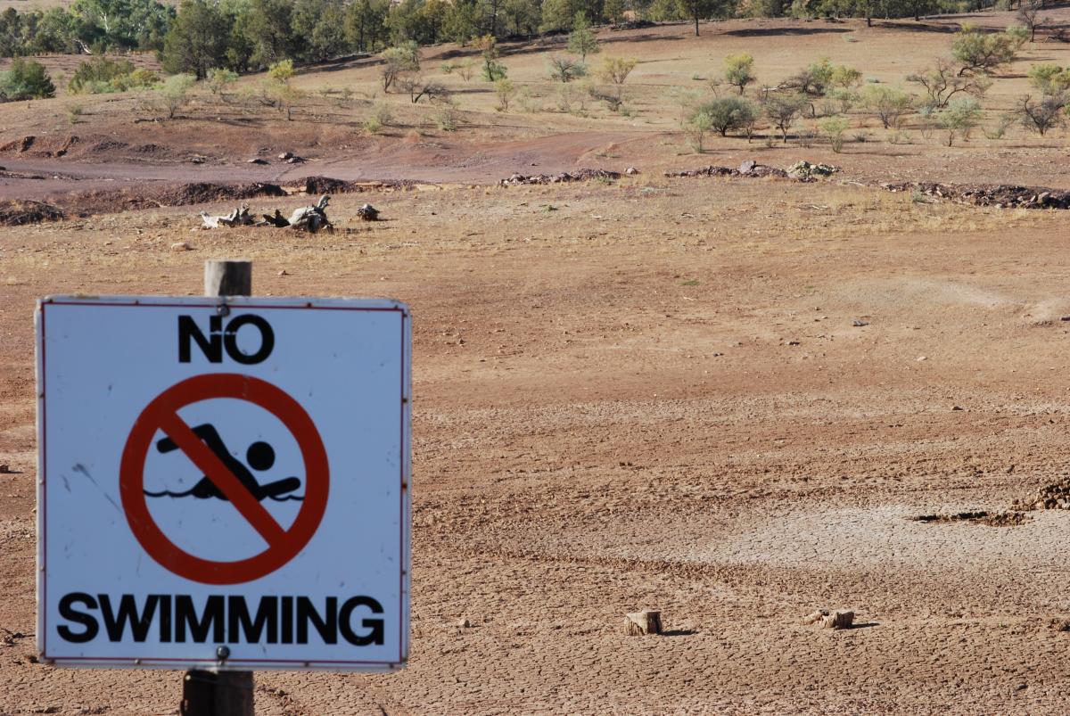
California climate is a climate intrinsically of extremes. We have floods, we have droughts and interestingly we don’t have that many years in the middle. … We have this Mediterranean climate with this well-defined dry season. And that may seem strange to somebody who hasn’t spent a lot of time in California, because even that seasonal cycle is actually kind of extreme.
The fact is we only get precipitation for often less than half of the calendar year, and the rest of the year is defined by, arguably, an annual drought. We always have a drought for … six months of the year – it’s called summer, early fall and late spring, and the sharpness of that season cycle defines a lot of things that are important in California. It’s part of the reason why, agriculturally, we are such a productive state. …
It also means we are vulnerable to drought because if something happens and disrupts our storm pattern during the winter, then that’s it for the full year. What that means is there are a few key things we care about in terms of what might happen for the future. We really care about those core winter months for precipitation, but we care about all the other months for everything else.
WW: California has built a water system premised on having snow in the Sierra and southern Cascades melt slowly to fill reservoirs and rivers. How will your projections of the new weather norm affect that system?
Swain: California water infrastructure is really predicated strongly on the continuation of our historical climate. It’s predicated on what we might call a stationary climate that is largely in line with the one that was occurring when these structures were designed and built. … The climate we have today is different. … We are already starting to operate outside of that design envelope, if you will, but the changes you have seen so far are still small relative to the ones we are likely to see in the coming decades. That does pose some challenges to a system that is largely fixed. …

It’s a clever system because it uses the fact that historically we’ve had this big Sierra Nevada snowpack and this time-release storage of water, which means that we don’t have to store every drop of water that we need for the whole year in dams. It means we can have this continual replenishment through the early spring and summer months when the snow melts into the reservoirs at the same time we are taking the water out of the reservoirs to use for agriculture or send to the cities. The problem becomes if we don’t have that snowpack, we don’t have that time-release storage. And so even if we are getting the same amount of water overall, we are only relying on the water that falls as liquid rain during the winter and then can store in reservoirs. By the time the end of summer rolls around there’s nothing else flowing into the reservoirs.
There’s a lot of evidence that we are already starting to lose snowpack. The snowline is moving up the mountain, which is important because for every 1,000 feet up in California, you lose a lot of land. … Most of that snowpack territory exists between 5,000 and 8,000 feet in elevation. For losing 500 feet of snowline every 10 years or so, pretty soon we don’t have a lot of snow left in the mountains overall.
WW: How do you explain what the “Ridiculously Resilient Ridge” is and what causes it?
Swain: There is not really a super-simple explanation. But the way I like to think about it is, on average in the winter, over the north Pacific Ocean there’s already a ridge in atmospheric pressure, so the typical state of things is for there to be a really weak ridge on the West Coast of North America. Every time we get active storm periods … we tend to get bursts of activity and the reason for that is that the default status is something that weakly deflects storms away from us. Something has to happen to redirect things our way. When that Pacific jet stream strengthens, it can either collapse or weaken that weak ridge and bring us storms. All of our stormy periods are when that weak ridge goes away for a little while.
California climate is a climate intrinsically of extremes. We have floods, we have droughts and interestingly we don’t have that many years in the middle.
The “Triple R” really is just a strong enhancement or an amplification of that typical mean, average ridge. Anything that acts to strengthen it beyond its normal magnitude or shift it slightly so it’s even more effective at blocking storms produces a persistent ridge. There’s evidence now that the ultimate triggers for this are sometimes random, we just get unlucky. Other times the tropical Pacific, the ocean temperatures thousands of miles away, are important, not just La Niña as we always hear about (cool equatorial water in the eastern Pacific), but also the western tropical Pacific, which does not have to do with La Niña necessarily.
Warmth there can induce ridging all the way over toward the West Coast of North America. So the tropical Pacific is important. And there’s even this brand-new work out of Lawrence Livermore National Laboratory that sea ice plays a potentially significant role in this, and when we lose sea ice, these patterns maybe become more common.
What’s interesting is that in our work we have detected an increase in this pattern during winter. We are still not totally sure exactly why that’s occurring, but there definitely has been an increase during the observational period. This is coincided with warming of the western tropical Pacific and a lot of sea ice loss.
WW: Does the ability exist to predict the “Triple R”?
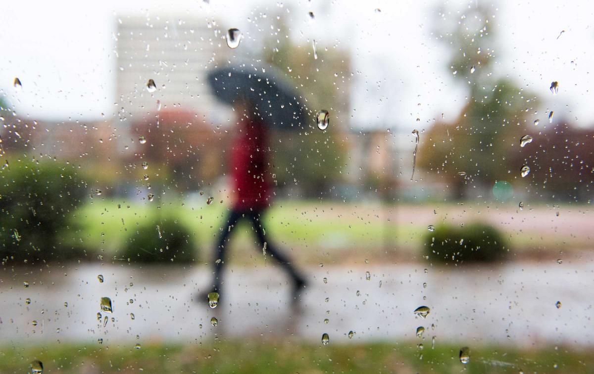
Swain: It’s predictable out to a couple of weeks. In the very long run, [if] it’s something that occurred in the past, it should definitely occur in the future. Now, there’s some evidence that it may actually be occurring more in the future. Even if we see more droughts in California in the future, which I think is likely just due to the temperature increase alone, there’s still the expectation that overall average precipitation may not change very much. What that suggests is there has to be some compensation on the other side of things too. I’ve been imploring people not to ignore the flood side of the spectrum. We’ve thought a lot about drought lately, we had a wet winter last year and people thought about flooding a little bit … but arguably the evidence is even stronger that we are going to see some really wet years in the future.
WW: Are things any better in terms of improved forecasting for water supply managers?
Swain: It’s a big challenge and an interesting physical science and human adaptation question. The time scales for drought risk and flood risk, especially in California, are very different. We don’t have to worry about suddenly going into drought between this week and next week. That’s something we can watch evolve over months or even the season through years. When it comes to flood risk we don’t really have to worry about next year. … We can actually see a lot about flood risk within the coming week. Weather forecasts have gotten pretty good on average and while there’s some misses, generally speaking, we are not going to be totally blindsided by a huge flood.

We are not so good at seasonal forecasts, though, and those are what matter for things like drought. It becomes hard to manage this … because for some of these practical decisions the long-term trends are somewhat less important than the immediate weather forecast – is there a big storm coming this week or not? I wonder if it might actually change the decision-making mentality if we’re headed for a future where there is an increased likelihood of both extremes. And I think that probably should change the decision-making calculus in these operational sorts of situations.
WW: How much is the fingerprint of climate change evident in what you are seeing?
Swain: It’s very clear that the temperature component of everything we’ve been seeing recently has a human fingerprint on it. We are at the point now where almost every unprecedented heat wave or hottest year on record has something to do with the fact the Earth is warming quickly. We are experiencing record global warmth; a lot of it really does follow from that. The temperature component is, unfortunately, kind of a slam dunk. It’s very clear that there’s a connection. It turns out that in the recent drought it was an important part of it. If temperatures had been close to typical average temperatures during the 20th century, the drought wouldn’t have been as severe from a hydrological or agricultural perspective or from the perspective of the forests in the Sierra Nevada, which have not done well.
From the precipitation perspective there’s still active work going on, although there’s some increasing evidence in the literature of an increased likelihood of low precipitation years. That may not be coinciding with an overall decrease in precipitation, but we are seeing these ridge patterns more frequently. We have seen a cluster of dry years recently. And there’s some evidence that may be a signature, that we may see more of these low precipitation years or these ridge years.