California has been the nation’s
leading agricultural and dairy state for the past 50 years. The
state’s 80,500 farms and ranches produce more than 400 different
agricultural products. These products generated a record $44.7
billion in sales value in 2012, accounting for 11.3 percent of
the US total.
Breaking down the state’s agricultural role in the country,
California produces 21 percent of the nation’s milk supply, 23
percent of its cheese and 92 percent of all grapes. The state
also produces half of all domestically-grown fruits, nuts and
vegetables, including some products, such as almonds, walnuts,
artichokes, persimmons and pomegranates, of which 99 percent are
grown in California.
Overall, about 3 percent of employment in the state is directly
or indirectly related to agriculture.
Advanced technology can help farmers get to the root of a
growing problem ¾ overwatering in an era of increasing drought
and water scarcity. A new UC Riverside system can map soil
moisture tree by tree, so growers water only where and when
it’s needed. This system, detailed in the journal Computer
and Electronics in Agriculture, was led by the research group
of Elia Scudiero. … The new system replaces limited
sensor data and guesswork with detailed maps. A robot moves
through an orchard measuring a property of the soil called
electrical conductivity. These readings, combined with data
from the fixed moisture sensors already in the ground, allow
researchers to build a statistical model that predicts water
content across the entire field.
Valley farmers will see a 5% increase in the region’s water
supply following Tuesday’s announcement from the Bureau of
Reclamation. After rainstorms in late February, this increase
boosts the Central Valley Project water supply from 15% to 20%.
“20% is significantly under what we need to grow most of those
crops,” said Fresno County Farm Bureau CEO Ryan Jacobsen.
While growers and water experts say every drop of water counts,
it’s simply not enough. Jacobsen says this drought could be a
hit to our economy, food production, and jobs. … In
a statement, the Bureau of Reclamation says it is being
cautious to protect long-term sustainability.
… Escondido and surrounding environs are the center of the
San Diego region’s avocado industry. The cities and towns of
the avocado belt, especially Escondido, also have some of the
priciest water in San Diego County, a region notorious for its
high water costs. For growers of a water-intensive crop like
avocados, those high costs are exceptionally burdensome. On
average, 60% of operating costs for Escondido avocado groves go
just to water, according to a 2024 report from the California
Avocado Commission. … Escondido water officials have no
plans to secede. But like the districts that did, they also
blame their high costs on the county water authority.
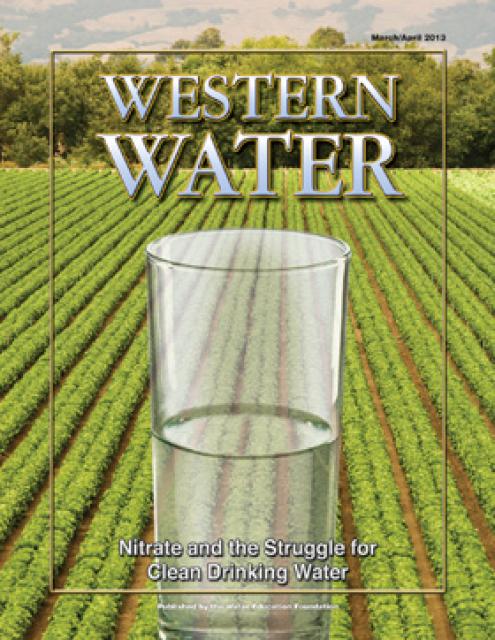
… Excess nitrogen from dairies turns into excess nitrate in
the soil, spilling into waterways, seeping into groundwater and
contributing to widespread contamination of drinking water in
the Central Valley. In some counties there, 40 percent of
drinking wells are above the safe limit established by the U.S.
Environmental Protection Agency, posing health risks like
miscarriages and infant mortality. In the next two months, the
State Water Board says it will release a long overdue draft
order that will chart a course to fix that. A first draft
of the board’s thinking came in October 2024, when it proposed
a new framework requiring that Central Valley dairies comply
with a nitrate drinking water standard of 10 milligrams per
liter.
The Delta-Mendota subbasin, one of the largest in
California, will likely avoid state enforcement. Staff
from the state Water Resources Control Board issued an
assessment March 2 that recommends the basin, which stretches
over 765,000 acres across six counties, return to the oversight
of the Department of Water Resources (DWR). The state
Water Board will consider the recommendation at its April 7
board meeting. … In its assessment, Water Board staff
determined that Delta-Mendota’s 2024 revised Groundwater
Sustainability Plan made significant progress resolving
deficiencies that sent the basin into the state’s intervention
process in 2023 per the Sustainable Groundwater
Management Act (SGMA).
A large-scale pilot project studying the effects of recharging
water onto pistachio orchards, some with cover crops and some
without, is in full swing across the San Joaquin
Valley. The project, a collaboration between private
nonprofit Sustainable Conservation, American Pistachio Growers
and Fresno State University kicked off in January and will
study recharge on six orchards in Tulare, Merced and Madera
counties. Each pilot partner recharges onto 20 acres of orchard
with cover crops and 20 acres with no cover crops. …
Specifically, the project will look at whether recharge
cover crops can reduce nitrates in groundwater.
Researchers at the University of Nevada, Reno, have received a
$9 million grant from the U.S. Department of Energy to study an
unlikely candidate for future fuels: cactus pear. The
desert-adapted plant already grows across much of the Mountain
West, including Nevada, Idaho, New Mexico, Wyoming, Colorado,
Utah and Arizona. Scientists say it could help farmers produce
renewable fuels like ethanol and biodiesel while using
significantly less water than traditional biofuel crops like
corn and soybeans. Over the next five years,
researchers will test hundreds of cactus pear varieties at
sites from Arizona to Florida.
A mammoth solar farm is moving forward in the heart of
California. If built, which seems increasingly likely, it would
cover 200 square miles of land and generate 21,000 megawatts of
electricity, enough to power entire cities. Huge batteries will
store some of that power until it’s needed most. Farmers are
among the project’s backers. … These farmers are now
facing a new water crisis. The canal has been delivering less
water in recent years because of droughts and competing claims
on that water. Until recently, the farmers had a backup water
supply: They could pump water from aquifers a thousand feet
underground. Now, though, a new state law is coming into force
that bans overpumping from the aquifer.
Despite a strong start to California’s wet season, snowpack
conditions remain below average. A deficient snowpack
could mean less water available for summer irrigation,
threatening to cut surface water deliveries to farmers. …
State officials reported the snowpack was at 59% of
average by the end of last month. San Joaquin
Valley farmer Aaron Barcellos said he’s concerned about what
water supplies he will be able to get from this winter’s
snowpack, especially since about two-thirds of his farm’s water
comes from snowpack storage. The uncertainty has already
begun to impact his planning—particularly with cotton, which he
has grown since 1988.
Other snowpack and water supply news around the West:
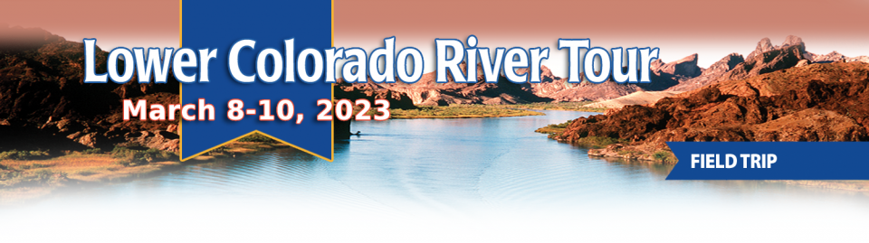
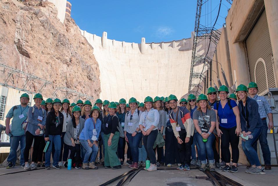
This tour explored the lower Colorado River firsthand where virtually every drop of the river is allocated, yet demand is growing from myriad sources — increasing population, declining habitat, drought and climate change.
The 1,450-mile river is a lifeline to some 40 million people in the Southwest across seven states, 30 tribal nations and Mexico. How the Lower Basin states – Arizona, California and Nevada – use and manage this water to meet agricultural, urban, environmental and industrial needs was the focus of this tour.
Hilton Garden Inn Las Vegas Strip South
7830 S Las Vegas Blvd
Las Vegas, NV 89123
On this first-ever Foundation water tourwe examined water issues along the 263-mile Klamath River, from its spring-fed headwaters in south-central Oregon to its redwood-lined estuary on the Pacific Ocean in California.
Running Y Resort
5500 Running Y Rd
Klamath Falls, OR 97601
This tour explored the Sacramento River and its tributaries through a scenic landscape while learning about the issues associated with a key source for the state’s water supply.
All together, the river and its tributaries supply 35 percent of California’s water and feed into two major projects: the State Water Project and the federal Central Valley Project.
Water Education Foundation
2151 River Plaza Drive, Suite 205
Sacramento, CA 95833
Seeking to prevent the California State Water Resources Control
Board from stepping in to regulate groundwater in critically
overdrafted subbasins, local agencies are working to correct
deficiencies in their plans to protect groundwater. With
groundwater sustainability agencies formed and groundwater
sustainability plans evaluated, the state water board has moved
to implement the 2014 Sustainable Groundwater Management Act,
or SGMA. … Under probation, groundwater extractors in
the Tulare Lake subbasin face annual fees of $300 per well and
$20 per acre-foot pumped, plus a late reporting fee of 25%.
SGMA also requires well owners to file annual groundwater
extraction reports.
Catastrophic weather events wreaked havoc on U.S. agriculture
last year, causing nearly $22 billion in crop and rangeland
losses, according to the American Farm Bureau Federation.
California accounted for $1.14 billion of that figure,
including nearly $880 million in damages from severe storms and
flooding. The figures represent a significant shift from
previous years, when drought and wildfires were California’s
biggest challenges. Since then, atmospheric rivers, Tropical
Storm Hilary and other weather events battered our farming
communities. - Written by Matthew Viohl, director of federal
policy for the California Farm Bureau
This tour explored the lower Colorado River firsthand where virtually every drop of the river is allocated, yet demand is growing from myriad sources — increasing population, declining habitat, drought and climate change.
The 1,450-mile river is a lifeline to some 40 million people in the Southwest across seven states, 30 tribal nations and Mexico. How the Lower Basin states – Arizona, California and Nevada – use and manage this water to meet agricultural, urban, environmental and industrial needs was the focus of this tour.
Hilton Garden Inn Las Vegas Strip South
7830 S Las Vegas Blvd
Las Vegas, NV 89123
Water, the essence of life, is an indispensable resource
intricately woven into the fabric of our daily existence. From
the food on our plates to the gadgets in our hands, water
silently plays a pivotal role in the creation of almost
everything we encounter. In a world where water scarcity is a
looming concern, it is essential to explore the profound impact
of water in the production of goods and services that shape our
lives as well as the food we feed our families. -Written by Mike Wade, executive director of the
California Farm Water Coalition
This tour explored the Sacramento River and its tributaries through a scenic landscape while learning about the issues associated with a key source for the state’s water supply.
All together, the river and its tributaries supply 35 percent of California’s water and feed into two major projects: the State Water Project and the federal Central Valley Project.
Water Education Foundation
2151 River Plaza Drive, Suite 205
Sacramento, CA 95833
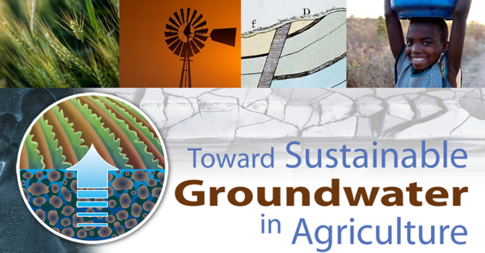
The 3ʳᵈ International Conference, Toward Sustainable Groundwater in Agriculture: Linking Science & Policy took place from June 18 – 20. Organized by the Water Education Foundation and the UC Davis Robert M. Hagan Endowed Chair, the conference provided scientists, policymakers, agricultural and environmental interest group representatives, government officials and consultants with the latest scientific, management, legal and policy advances for sustaining our groundwater resources in agricultural regions around the world.
The conference keynote address was provided by Mark Arax, an award-winning journalist and author of books chronicling agriculture and water issues in California’s Central Valley. Arax comes from a family of Central Valley farmers and is praised for writing books that are deeply profound, heartfelt and nuanced including The Dreamt Land, West of the West and The King of California. He did a reading from his latest book The Dreamt Land and commented on the future of groundwater in the Valley during his keynote lunch talk on June 18.
Hyatt Regency San Francisco Airport
1333 Bayshore Hwy
Burlingame, CA 94010
This tour explored the lower Colorado River firsthand where virtually every drop of the river is allocated, yet demand is growing from myriad sources — increasing population, declining habitat, drought and climate change.
The 1,450-mile river is a lifeline to some 40 million people in the Southwest across seven states, 30 tribal nations and Mexico. How the Lower Basin states – Arizona, California and Nevada – use and manage this water to meet agricultural, urban, environmental and industrial needs was the focus of this tour.
Hilton Garden Inn Las Vegas Strip South
7830 S Las Vegas Blvd
Las Vegas, NV 89123
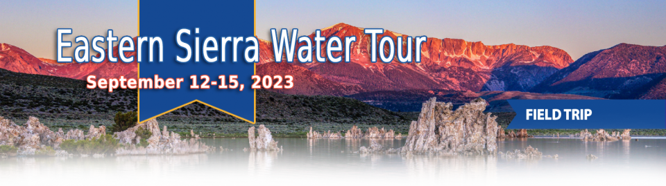
This special Foundation water tour journeyed along the Eastern Sierra from the Truckee River to Mono Lake, through the Owens Valley and into the Mojave Desert to explore a major source of water for Southern California, this year’s snowpack and challenges for towns, farms and the environment.
This tour explored the Sacramento River and its tributaries through a scenic landscape while learning about the issues associated with a key source for the state’s water supply.
All together, the river and its tributaries supply 35 percent of California’s water and feed into two major projects: the State Water Project and the federal Central Valley Project.
Water Education Foundation
2151 River Plaza Drive, Suite 205
Sacramento, CA 95833
This tour explored the Sacramento River and its tributaries
through a scenic landscape while learning about the issues
associated with a key source for the state’s water supply.
All together, the river and its tributaries supply 35 percent of
California’s water and feed into two major projects: the State
Water Project and the federal Central Valley Project.
Water Education Foundation
2151 River Plaza Drive, Suite 205
Sacramento, CA 95833
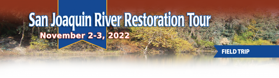
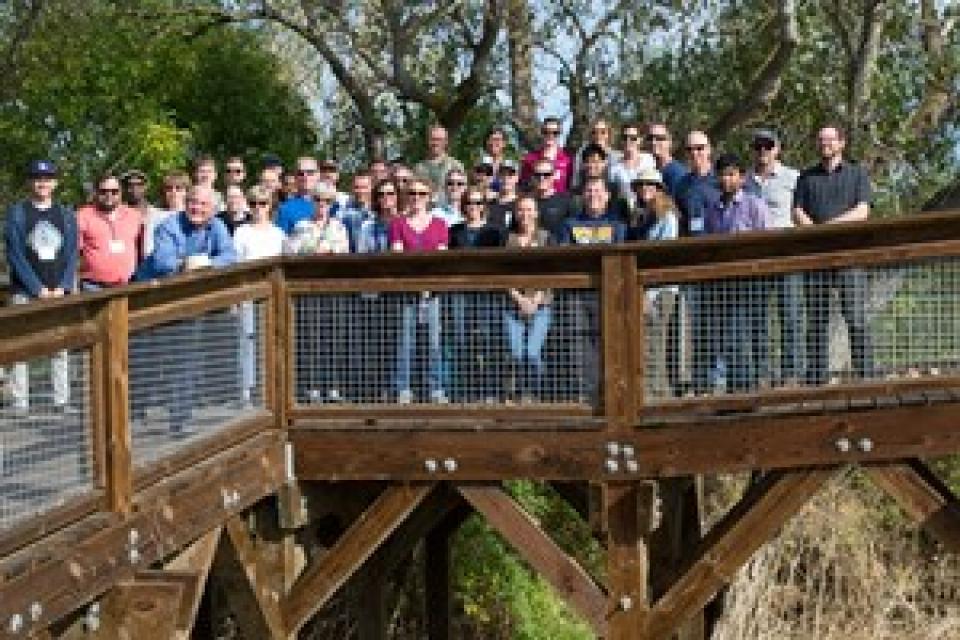
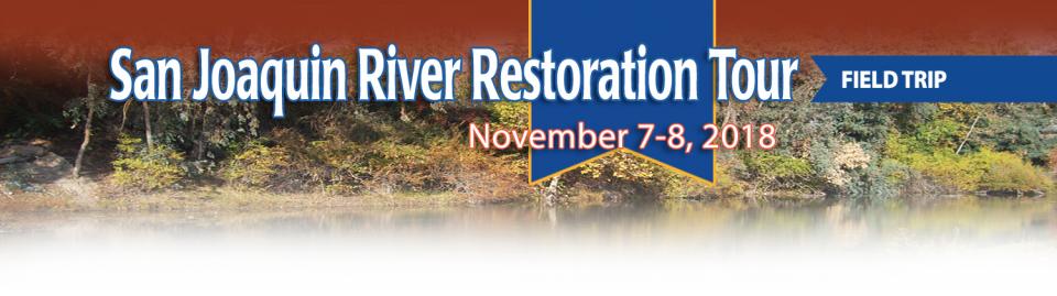
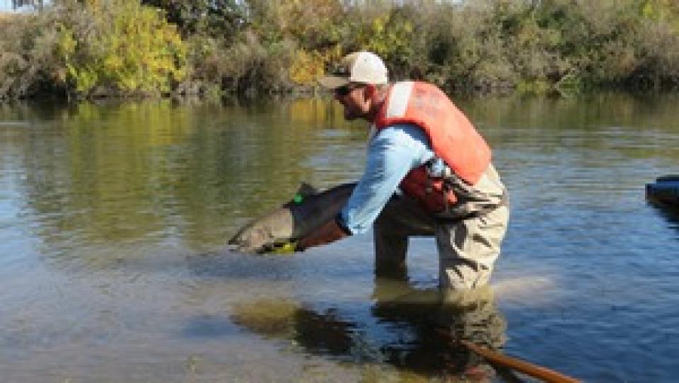
This tour traveled along the San Joaquin River to learn firsthand
about one of the nation’s largest and most expensive river
restoration projects.
The San Joaquin River was the focus of one of the most
contentious legal battles in California water history,
ending in a 2006 settlement between the federal government,
Friant Water Users Authority and a coalition of environmental
groups.
Hampton Inn & Suites Fresno
327 E Fir Ave
Fresno, CA 93720
This tour explored the lower Colorado River firsthand where virtually every drop of the river is allocated, yet demand is growing from myriad sources — increasing population, declining habitat, drought and climate change.
The 1,450-mile river is a lifeline to some 40 million people in the Southwest across seven states, 30 tribal nations and Mexico. How the Lower Basin states – Arizona, California and Nevada – use and manage this water to meet agricultural, urban, environmental and industrial needs was the focus of this tour.
Hyatt Place Las Vegas At Silverton Village
8380 Dean Martin Drive
Las Vegas, NV 89139
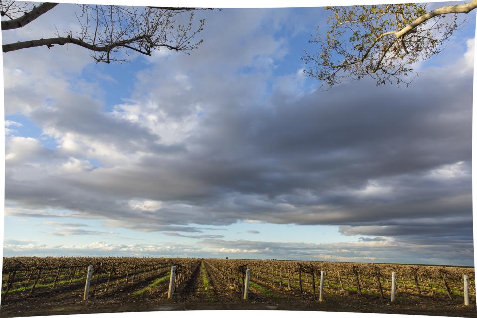
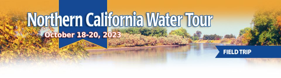
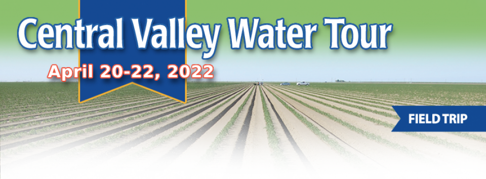
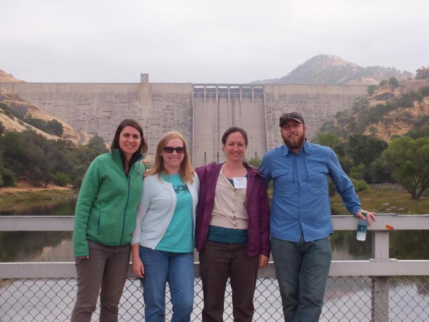
This tour ventured through California’s Central Valley, known as the nation’s breadbasket thanks to an imported supply of surface water and local groundwater. Covering about 20,000 square miles through the heart of the state, the valley provides 25 percent of the nation’s food, including 40 percent of all fruits, nuts and vegetables consumed throughout the country.
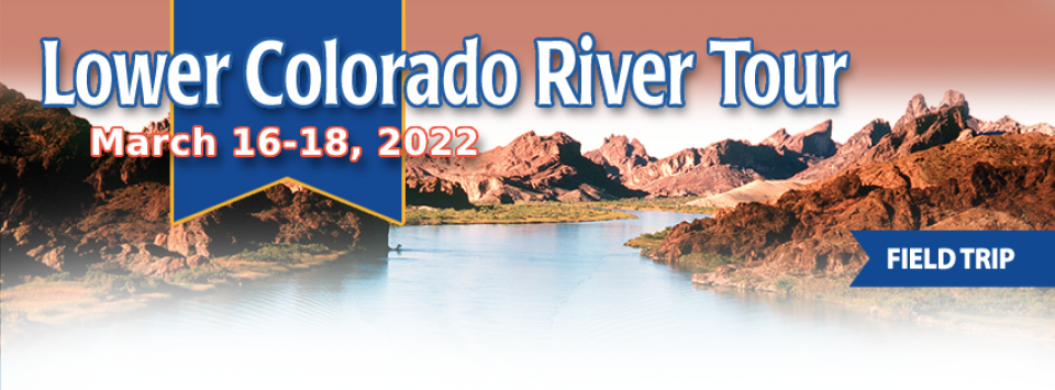
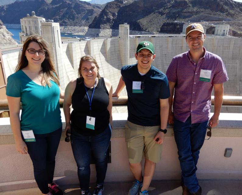
The lower Colorado River has virtually every drop allocated, yet demand is growing from myriad sources — increasing population, declining habitat, drought and climate change.
The 1,450-mile river is a lifeline to 40 million people in the Southwest across seven states, 30 tribal nations and Mexico. How the Lower Basin states – Arizona, California and Nevada – use and manage this water to meet agricultural, urban, environmental and industrial needs was the focus of this tour.
Hyatt Place Las Vegas At Silverton Village
8380 Dean Martin Drive
Las Vegas, NV 89139
This tour guided participants on a virtual exploration of the Sacramento River and its tributaries and learn about the issues associated with a key source for the state’s water supply.
All together, the river and its tributaries supply 35 percent of California’s water and feed into two major projects: the State Water Project and the federal Central Valley Project.
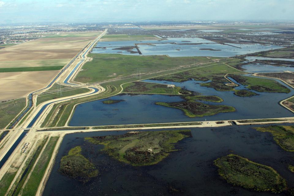
This tour guided participants on a virtual journey deep into California’s most crucial water and ecological resource – the Sacramento-San Joaquin Delta. The 720,000-acre network of islands and canals support the state’s two major water systems – the State Water Project and the Central Valley Project. The Delta and the connecting San Francisco Bay form the largest freshwater tidal estuary of its kind on the West coast.
This event explored the lower Colorado River where virtually every drop of the river is allocated, yet demand is growing from myriad sources — increasing population, declining habitat, drought and climate change.
The 1,450-mile river is a lifeline to 40 million people in the Southwest across seven states and Mexico. How the Lower Basin states – Arizona, California and Nevada – use and manage this water to meet agricultural, urban, environmental and industrial needs was the focus of this tour.
This tour explored the lower Colorado River where virtually every drop of the river is allocated, yet demand is growing from myriad sources — increasing population, declining habitat, drought and climate change.
The 1,450-mile river is a lifeline to 40 million people in the Southwest across seven states and Mexico. How the Lower Basin states – Arizona, California and Nevada – use and manage this water to meet agricultural, urban, environmental and industrial needs is the focus of this tour.
Silverton Hotel
3333 Blue Diamond Road
Las Vegas, NV 89139
This 2-day, 1-night tour offered participants the opportunity to
learn about water issues affecting California’s scenic Central
Coast and efforts to solve some of the challenges of a region
struggling to be sustainable with limited local supplies that
have potential applications statewide.
This tour explored the Sacramento River and its tributaries
through a scenic landscape as participants learned about the
issues associated with a key source for the state’s water supply.
All together, the river and its tributaries supply 35 percent of
California’s water and feed into two major projects: the State
Water Project and the federal Central Valley Project. Tour
participants got an on-site update of Oroville Dam spillway
repairs.
We explored the lower Colorado River where virtually every drop
of the river is allocated, yet demand is growing from myriad
sources — increasing population, declining habitat, drought and
climate change.
The 1,450-mile river is a lifeline to 40 million people in
the Southwest across seven states and Mexico. How the Lower Basin
states – Arizona, California and Nevada – use and manage this
water to meet agricultural, urban, environmental and industrial
needs was the focus of this tour.
Hampton Inn Tropicana
4975 Dean Martin Drive, Las Vegas, NV 89118
This three-day, two-night tour explored the lower Colorado River
where virtually every drop of the river is allocated, yet demand
is growing from myriad sources — increasing population,
declining habitat, drought and climate change.
The 1,450-mile river is a lifeline to 40 million people in
the Southwest across seven states and Mexico. How the Lower Basin
states – Arizona, California and Nevada – use and manage this
water to meet agricultural, urban, environmental and industrial
needs is the focus of this tour.
Best Western McCarran Inn
4970 Paradise Road
Las Vegas, NV 89119
This tour explored the Sacramento River and its tributaries
through a scenic landscape as participants learned about the
issues associated with a key source for the state’s water supply.
All together, the river and its tributaries supply 35 percent of
California’s water and feed into two major projects: the State
Water Project and the federal Central Valley Project. Tour
participants got an on-site update of repair efforts on the
Oroville Dam spillway.
Participants of this tour snaked along the San Joaquin River to
learn firsthand about one of the nation’s largest and most
expensive river restoration projects.
The San Joaquin River was the focus of one of the most
contentious legal battles in California water history,
ending in a 2006 settlement between the federal government,
Friant Water Users Authority and a coalition of environmental
groups.
Groundwater replenishment happens
through direct recharge and in-lieu recharge. Water used for
direct recharge most often comes from flood flows, water
conservation, recycled water, desalination and water
transfers.
Water is expensive – and securing enough money to ensure
reliability and efficiency of the state’s water systems and
ecosystems is a constant challenge.
In 2014, California voters approved Proposition 1, authorizing a
$7.5 billion bond to fund water projects throughout the state.
This included investments in water storage, watershed protection
and restoration, groundwater sustainability and drinking water
protection.
California agriculture is going to have to learn to live with the
impacts of climate change and work toward reducing its
contributions of greenhouse gas emissions, a Yolo County walnut
grower said at the Jan. 26 California Climate Change Symposium in
Sacramento.
“I don’t believe we are going to be able to adapt our way out of
climate change,” said Russ Lester, co-owner of Dixon Ridge Farms
in Winters. “We need to mitigate for it. It won’t solve the
problem but it can slow it down.”
From the Greek “xeros” and Middle Dutch “scap,”
xeriscape was coined
in 1978 and literally translates to “dry scene.”
Xeriscaping, by extension, is making an environment which can
tolerate dryness. This involves installing drought-resistant and
slow-growing plants to reduce water use.
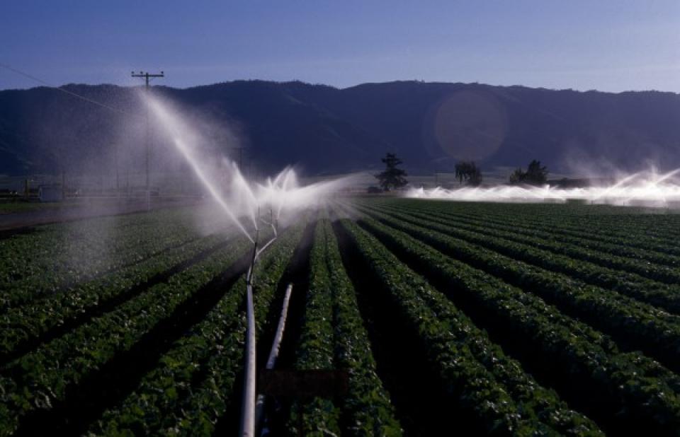
Irrigation is the artificial supply
of water to grow crops or plants. Obtained from either surface or groundwater, it optimizes
agricultural production when the amount of rain and where it
falls is insufficient. Different irrigation
systems are not necessarily mutually exclusive, but in
practical use are often combined. Much of the agriculture in
California and the West relies on irrigation.
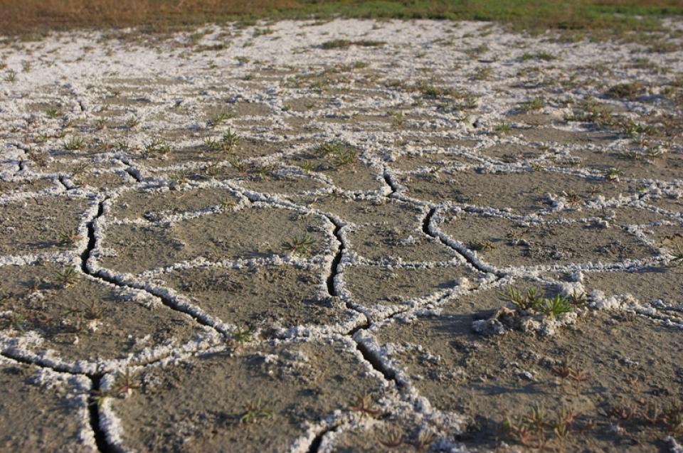
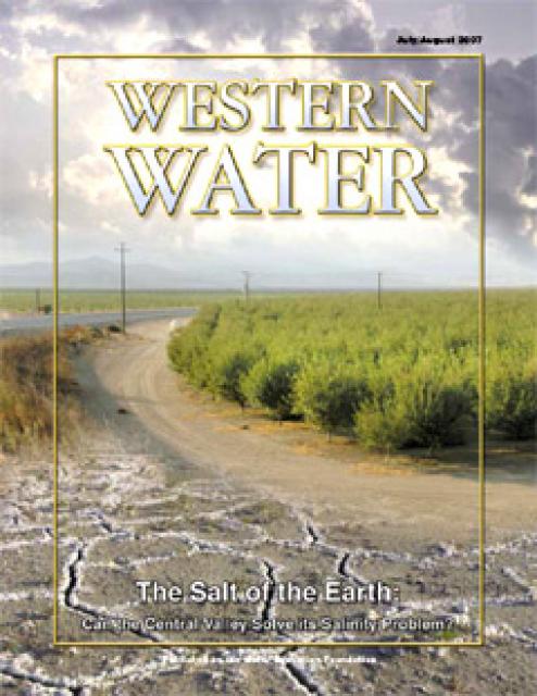
Excess salinity poses a growing
threat to food production, drinking water quality and public
health. Salts increase the cost of urban drinking water and
wastewater treatment, which are paid for by residents and
businesses. Increasing salinity is likely the largest long-term
chronic water quality impairment to surface and groundwater in California’s Central
Valley.
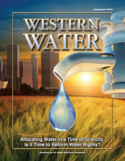
California’s severe drought has put its water rights system under
scrutiny, raising the question whether a complete overhaul is
necessary to better allocate water use.
(Read the excerpt below from the July/August 2015 issue along
with the editor’s note. Click here
to subscribe to Western Water and get full access.)
Introduction
California’s severe drought has put its water rights system under
scrutiny, raising the question whether a complete overhaul is
necessary to better allocate water use.
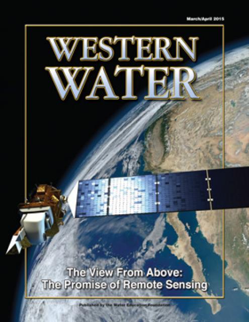
This issue looks at remote sensing applications and how satellite
information enables analysts to get a better understanding of
snowpack, how much water a plant actually uses, groundwater
levels, levee stability and more.
This 3-day, 2-night tour, which we do every spring,
travels the length of the San Joaquin Valley, giving participants
a clear understanding of the State Water Project and Central
Valley Project.
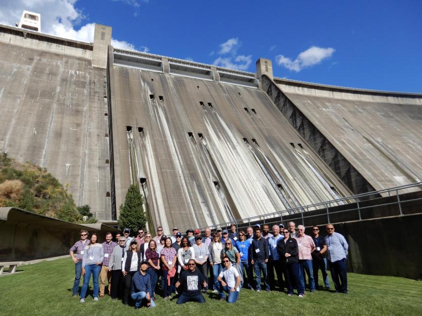
Friant Dam, located just north of
Fresno, is a part of the federal Central Valley
Project and captures the upper
San Joaquin River’s flow in Millerton Lake. The 319-foot high
concrete gravity dam diverts water into the 152-mile
Friant-Kern Canal,
which delivers water south to Bakersfield, and the Madera Canal,
which runs 36 miles to the north.
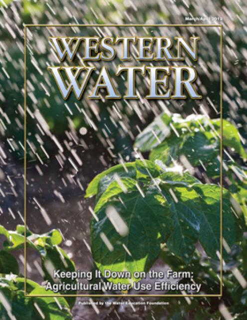
This printed issue of Western Water examines
agricultural water use – its successes, the planned state
regulation to quantify its efficiency and the potential for
greater savings.
This Western Water looks at proposed new measures to deal with
the century-old problem of salinity with a special focus on San
Joaquin Valley farms and cities.
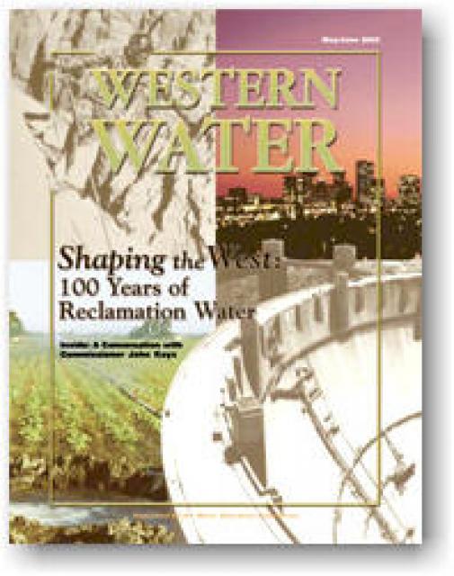
The Reclamation Act of 1902, which could arguably be described as
a progression of the credo, Manifest Destiny, transformed the
West. This issue of Western Water provides a glimpse of the past
100 years of the Reclamation Act, from the early visionaries who
sought to turn the arid West into productive farmland, to the
modern day task of providing a limited amount of water to homes,
farms and the environment. Included are discussions of various
Bureau projects and what the next century may bring in terms of
challenges and success.
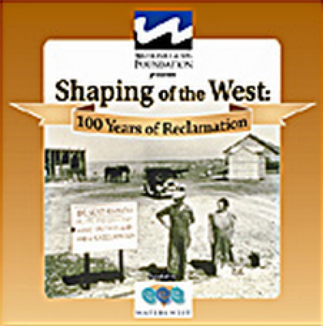
30-minute DVD that traces the history of the U.S. Bureau of
Reclamation and its role in the development of the West. Includes
extensive historic footage of farming and the construction of
dams and other water projects, and discusses historic and modern
day issues.
A new look for our most popular product! And it’s the perfect
gift for the water wonk in your life.
Our 24×36-inch California Water Map is widely known for being the
definitive poster that shows the integral role water plays in the
state. On this updated version, it is easier to see California’s
natural waterways and man-made reservoirs and aqueducts
– including federally, state and locally funded
projects – the wild and scenic rivers system, and
natural lakes. The map features beautiful photos of
California’s natural environment, rivers, water projects,
wildlife, and urban and agricultural uses and the
text focuses on key issues: water supply, water use, water
projects, the Delta, wild and scenic rivers and the Colorado
River.
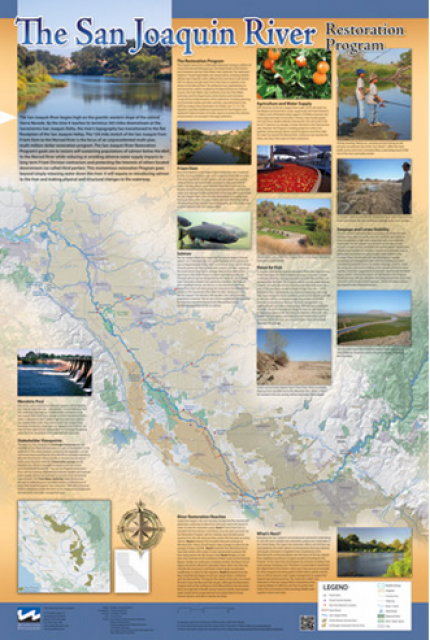
This beautiful 24×36 inch poster, suitable for framing, features
a map of the San Joaquin River. The map text focuses on the San
Joaquin River Restoration Program, which aims to restore flows
and populations of Chinook salmon to the river below Friant Dam
to its confluence with the Merced River. The text discusses the
history of the program, its goals and ongoing challenges with
implementation.
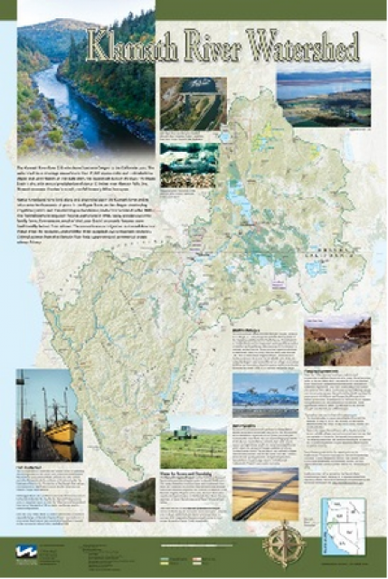
This beautiful 24×36-inch poster, suitable for framing, displays
the rivers, lakes and reservoirs, irrigated farmland, urban areas
and Indian reservations within the Klamath River Watershed. The
map text explains the many issues facing this vast,
15,000-square-mile watershed, including fish restoration;
agricultural water use; and wetlands. Also included are
descriptions of the separate, but linked, Klamath Basin
Restoration Agreement and the Klamath Hydroelectric Agreement,
and the next steps associated with those agreements. Development
of the map was funded by a grant from the U.S. Fish and Wildlife
Service.
This beautiful 24×36-inch poster, suitable for framing, displays
the rivers, lakes and reservoirs, irrigated farmland, urban areas
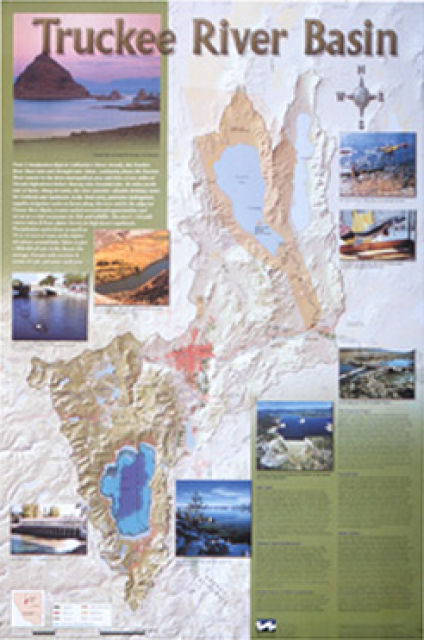
and Indian reservations within the Truckee River Basin, including
the Newlands Project, Pyramid Lake and Lake Tahoe. Map text
explains the issues surrounding the use of the Truckee-Carson
rivers, Lake Tahoe water quality improvement efforts, fishery
restoration and the effort to reach compromise solutions to many
of these issues.
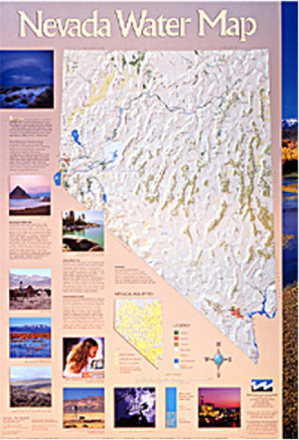
This 24×36 inch poster, suitable for framing, illustrates the
water resources available for Nevada cities, agriculture and the
environment. It features natural and manmade water resources
throughout the state, including the Truckee and Carson rivers,
Lake Tahoe, Pyramid Lake and the course of the Colorado River
that forms the state’s eastern boundary.
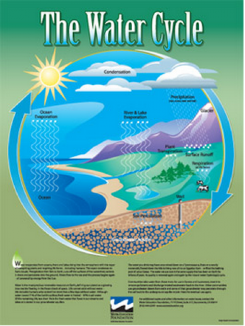
Water as a renewable resource is depicted in this 18×24 inch
poster. Water is renewed again and again by the natural
hydrologic cycle where water evaporates, transpires from plants,
rises to form clouds, and returns to the earth as precipitation.
Excellent for elementary school classroom use.
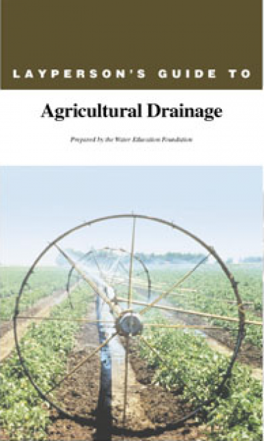
With irrigation projects that import water, farmers have
transformed millions of acres of land into highly productive
fields and orchards. But the dry climate that provides an almost
year-round farming season can hasten salt build up in soils. The
build-up of salts in poorly drained soils can decrease crop
productivity, and there are links between drainage water from
irrigated fields and harmful impacts on fish and wildlife.
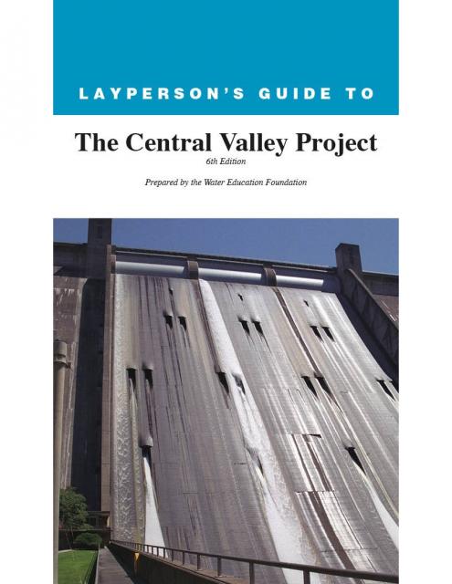
The 24-page Layperson’s Guide to the Central Valley Project
explores the history and development of the federal Central
Valley Project (CVP), California’s largest surface water delivery
system. In addition to the project’s history, the guide describes
the various facilities, operations and benefits the water
project brings to the state along with the CVP
Improvement Act (CVPIA).
The 24-page Layperson’s Guide to the State Water Project provides
an overview of the California-funded and constructed State Water
Project.
The State Water Project is best known for the 444-mile-long
aqueduct that provides water from the Delta to San Joaquin Valley
agriculture and southern California cities. The guide contains
information about the project’s history and facilities.
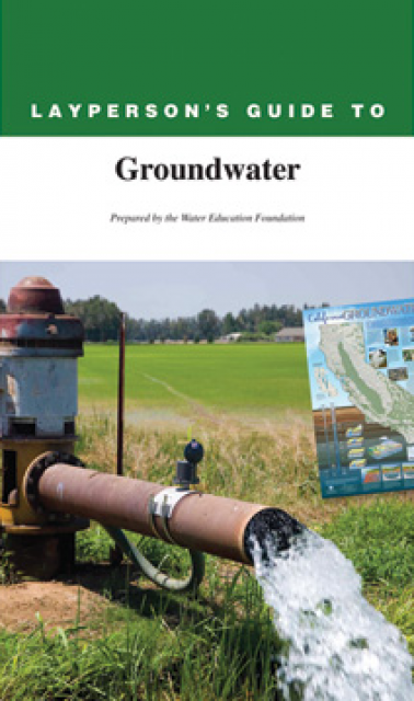
The 28-page Layperson’s Guide to Groundwater is an in-depth,
easy-to-understand publication that provides background and
perspective on groundwater. The guide explains what groundwater
is – not an underground network of rivers and lakes! – and the
history of its use in California.
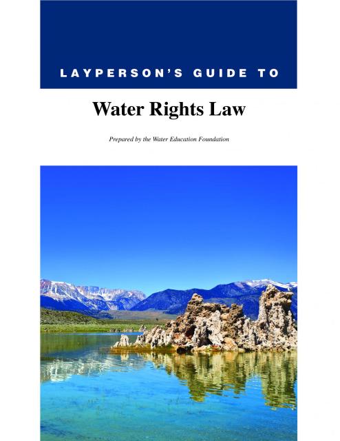
The 28-page Layperson’s Guide to Water Rights Law, recognized as
the most thorough explanation of California water rights law
available to non-lawyers, traces the authority for water flowing
in a stream or reservoir, from a faucet or into an irrigation
ditch through the complex web of California water rights.
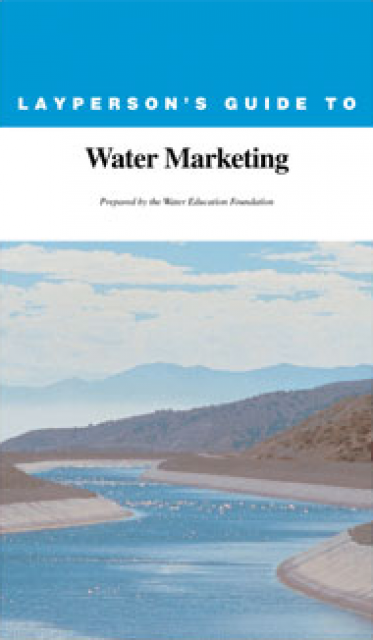
The 20-page Layperson’s Guide to Water Marketing provides
background information on water rights, types of transfers and
critical policy issues surrounding this topic. First published in
1996, the 2005 version offers expanded information on
groundwater banking and conjunctive use, Colorado River
transfers and the role of private companies in California’s
developing water market.
Order in bulk (25 or more copies of the same guide) for a reduced
fee. Contact the Foundation, 916-444-6240, for details.
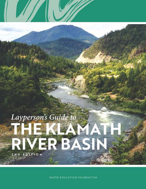
The Water Education Foundation’s second edition of
the Layperson’s Guide to The Klamath River Basin is
hot off the press and available for purchase.
Updated and redesigned, the easy-to-read overview covers the
history of the region’s tribal, agricultural and environmental
relationships with one of the West’s largest rivers — and a
vast watershed that hosts one of the nation’s oldest and
largest reclamation projects.
There are two constants regarding agricultural water use –
growers will continue to come up with ever more efficient and
innovative ways to use water and they will always be pressed to
do more.
It’s safe to say the matter will not be settled anytime soon,
given all the complexities that are a part of the water use
picture today. While officials and stakeholders grapple to find a
lasting solution to California’s water problems that balances
environmental and economic needs, those who grow food and fiber
for a living do so amid a host of challenges.
Land retirement is a practice that takes agricultural lands out
of production due to poor drainage and soils containing high
levels of salt and selenium (a mineral found in soil).
Typically, landowners are paid to retire land. The purchaser,
often a local water district, then places a deed restriction on
the land to prevent growing crops with irrigation water (a source
of salt). Growers in some cases may continue to farm using rain
water, a method known as dry farming.
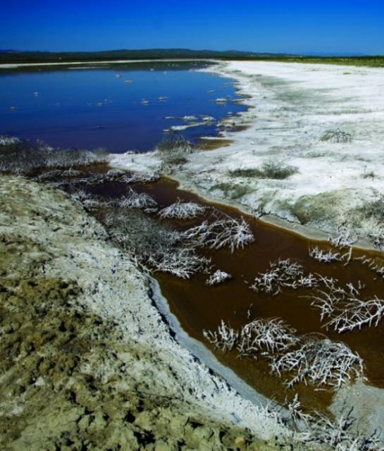
Evaporation ponds contain agricultural drainage water and are
used when agricultural growers do not have access to rivers for
drainage disposal.
Drainage water is the only source of water in many of these
ponds, resulting in extremely high concentrations of salts.
Concentrations of other trace elements such as selenium are also
elevated in evaporation basins, with a wide degree of variability
among basins.
Such ponds resemble wetland areas that birds use for nesting and
feeding grounds and may pose risks to waterfowl and shorebirds.
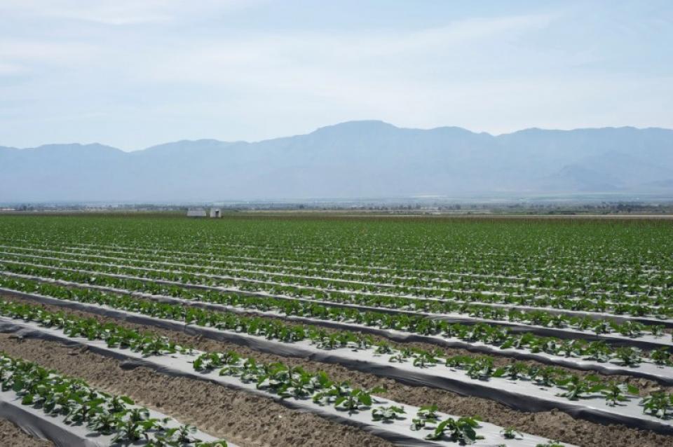
The Coachella Valley in Southern California’s Inland Empire is
one of several valleys throughout the state with a water district
established to support agriculture.
Like the others, the Coachella Valley Water District in Riverside
County delivers water to arid agricultural lands and constructs,
operates and maintains a regional agricultural drainage system.
These systems collect drainage water from individual farm drain
outlets and convey the water to a point of reuse, disposal or
dilution.