Being one of the biggest hydroelectric facilities in the United
States and a National Landmark, Hoover Dam generates power to
serve more than 1.3 million people. The dam also provides flood
control, irrigation, and water storage along the Colorado River.
Located 30 miles southeast of Las Vegas, the dam captures water
from the Colorado River and fills Lake Mead. The federal
government completed construction of the dam in 1936. Because
Colorado River water is so sought after, there are legal limits
as to how much water each party can take from the Colorado River.
With the drought-riddled Colorado River careening toward crisis
levels in the coming months and seven Western states bitterly
deadlocked on how to share its diminished flows, one faction is
attempting to break off and go it alone. Over the past week,
the downstream states of Arizona, California and
Nevada have been negotiating feverishly over a
potential deal to divvy up water delivery cuts for the next few
years and develop a handful of tools for blunting the pain that
will stem from them. It’s a Hail Mary bid to exert some
control over their own fate as the Interior Department prepares
to begin unilaterally operating the river’s system of dams and
canals starting in October.
Before the construction of Hoover Dam on the lower Colorado River, as well as a slew of smaller sisters downstream, the stretch downriver served as a biological oasis in the middle of the unrelenting Mojave and Sonoran deserts. The marshes and backwaters along the river’s edge provided sheltered areas for fish to spawn and rear their young, and mesquite and cottonwood-willow forests provided important habitat for numerous species of birds and other animals.
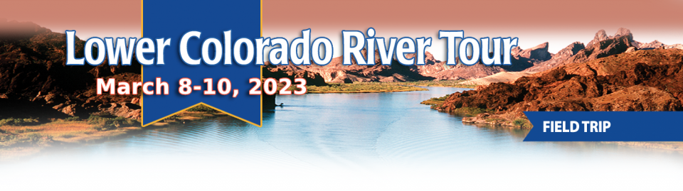
This tour explored the lower Colorado River firsthand where virtually every drop of the river is allocated, yet demand is growing from myriad sources — increasing population, declining habitat, drought and climate change.
The 1,450-mile river is a lifeline to some 40 million people in the Southwest across seven states, 30 tribal nations and Mexico. How the Lower Basin states – Arizona, California and Nevada – use and manage this water to meet agricultural, urban, environmental and industrial needs was the focus of this tour.
Hilton Garden Inn Las Vegas Strip South
7830 S Las Vegas Blvd
Las Vegas, NV 89123
Learn the history and challenges facing the West’s most dramatic
and developed river.
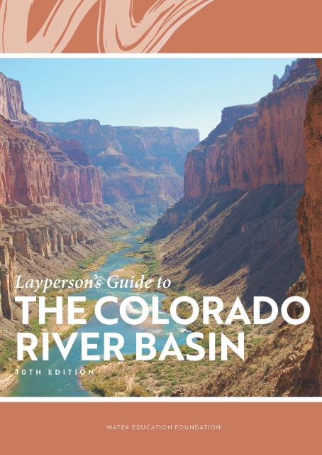
The Layperson’s Guide to the Colorado River Basin introduces the
1,450-mile river that sustains 40 million people and millions of
acres of farmland spanning seven states and parts of northern
Mexico.
The 28-page primer explains how the river’s water is shared and
managed as the Southwest transitions to a hotter and drier
climate.
The climate-driven shrinking of the
Colorado River is expanding the influence of Native American
tribes over how the river’s flows are divided among cities, farms
and reservations across the Southwest.
The tribes are seeing the value of their largely unused river
water entitlements rise as the Colorado dwindles, and they are
gaining seats they’ve never had at the water bargaining table as
government agencies try to redress a legacy of exclusion.
The states of the Lower Colorado
River Basin have traditionally played an oversized role in
tapping the lifeline that supplies 40 million people in the West.
California, Nevada and Arizona were quicker to build major canals
and dams and negotiated a landmark deal that requires the Upper
Basin to send predictable flows through the Grand Canyon, even
during dry years.
But with the federal government threatening unprecedented water
cuts amid decades of drought and declining reservoirs, the Upper
Basin states of Wyoming, Utah, Colorado and New Mexico are
muscling up to protect their shares of an overallocated river
whose average flows in the Upper Basin have already dropped
20 percent over the last century.
They have formed new agencies to better monitor their interests,
moved influential Colorado River veterans into top negotiating
posts and improved their relationships with Native American
tribes that also hold substantial claims to the river.
This tour explored the lower Colorado River firsthand where virtually every drop of the river is allocated, yet demand is growing from myriad sources — increasing population, declining habitat, drought and climate change.
The 1,450-mile river is a lifeline to some 40 million people in the Southwest across seven states, 30 tribal nations and Mexico. How the Lower Basin states – Arizona, California and Nevada – use and manage this water to meet agricultural, urban, environmental and industrial needs was the focus of this tour.
Hilton Garden Inn Las Vegas Strip South
7830 S Las Vegas Blvd
Las Vegas, NV 89123
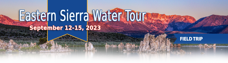
This special Foundation water tour journeyed along the Eastern Sierra from the Truckee River to Mono Lake, through the Owens Valley and into the Mojave Desert to explore a major source of water for Southern California, this year’s snowpack and challenges for towns, farms and the environment.
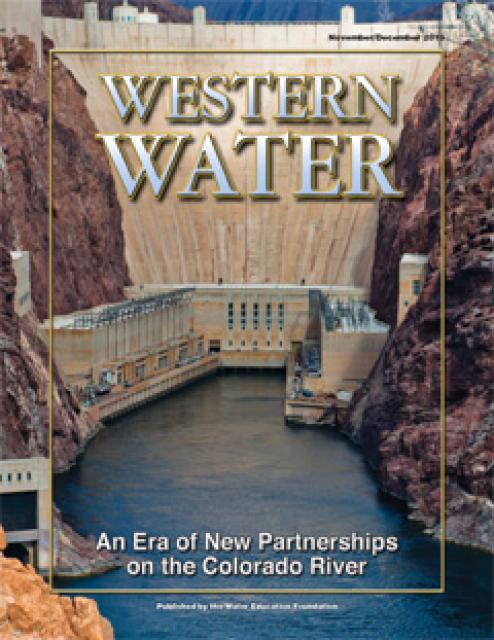
Momentum is building for a unique
interstate deal that aims to transform wastewater from Southern
California homes and business into relief for the stressed
Colorado River. The collaborative effort to add resiliency to a
river suffering from overuse, drought and climate change is being
shaped across state lines by some of the West’s largest water
agencies.
This tour explored the lower Colorado River firsthand where virtually every drop of the river is allocated, yet demand is growing from myriad sources — increasing population, declining habitat, drought and climate change.
The 1,450-mile river is a lifeline to some 40 million people in the Southwest across seven states, 30 tribal nations and Mexico. How the Lower Basin states – Arizona, California and Nevada – use and manage this water to meet agricultural, urban, environmental and industrial needs was the focus of this tour.
Hyatt Place Las Vegas At Silverton Village
8380 Dean Martin Drive
Las Vegas, NV 89139
Las Vegas, known for its searing summertime heat and glitzy casino fountains, is projected to get even hotter in the coming years as climate change intensifies. As temperatures rise, possibly as much as 10 degrees by end of the century, according to some models, water demand for the desert community is expected to spike. That is not good news in a fast-growing region that depends largely on a limited supply of water from an already drought-stressed Colorado River.
Twenty years ago, the Colorado River
Basin’s hydrology began tumbling into a historically bad stretch.
The weather turned persistently dry. Water levels in the system’s
anchor reservoirs of Lake Powell and Lake Mead plummeted. A river
system relied upon by nearly 40 million people, farms and
ecosystems across the West was in trouble. And there was no guide
on how to respond.
The Colorado River Compact of 1922
marked the first time in U.S. history that more than three states
negotiated an agreement among themselves to apportion the waters
of a stream or river.
The compact is the cornerstone of the “Law of the River” – a
complex set of interstate compacts, federal laws, court decisions
and decrees, contracts and federal actions that regulate use of
the Colorado River.
Innovative efforts to accelerate
restoration of headwater forests and to improve a river for the
benefit of both farmers and fish. Hard-earned lessons for water
agencies from a string of devastating California wildfires.
Efforts to drought-proof a chronically water-short region of
California. And a broad debate surrounding how best to address
persistent challenges facing the Colorado River.
These were among the issues Western Water explored in
2019, and are still worth taking a look at in case you missed
them.
The Colorado River is arguably one
of the hardest working rivers on the planet, supplying water to
40 million people and a large agricultural economy in the West.
But it’s under duress from two decades of drought and decisions
made about its management will have exceptional ramifications for
the future, especially as impacts from climate change are felt.
The Colorado River Basin’s 20 years
of drought and the dramatic decline in water levels at the
river’s key reservoirs have pressed water managers to adapt to
challenging conditions. But even more extreme — albeit rare —
droughts or floods that could overwhelm water managers may lie
ahead in the Basin as the effects of climate change take hold,
say a group of scientists. They argue that stakeholders who are
preparing to rewrite the operating rules of the river should plan
now for how to handle these so-called “black swan” events so
they’re not blindsided.
Summer is a good time to take a
break, relax and enjoy some of the great beaches, waterways and
watersheds around California and the West. We hope you’re getting
a chance to do plenty of that this July.
But in the weekly sprint through work, it’s easy to miss
some interesting nuggets you might want to read. So while we’re
taking a publishing break to work on other water articles planned
for later this year, we want to help you catch up on
Western Water stories from the first half of this year
that you might have missed.
Even as stakeholders in the Colorado River Basin celebrate the recent completion of an unprecedented drought plan intended to stave off a crashing Lake Mead, there is little time to rest. An even larger hurdle lies ahead as they prepare to hammer out the next set of rules that could vastly reshape the river’s future.
Set to expire in 2026, the current guidelines for water deliveries and shortage sharing, launched in 2007 amid a multiyear drought, were designed to prevent disputes that could provoke conflict.
As stakeholders labor to nail down
effective and durable drought contingency plans for the Colorado
River Basin, they face a stark reality: Scientific research is
increasingly pointing to even drier, more challenging times
ahead.
The latest sobering assessment landed the day after Thanksgiving,
when U.S. Global Change Research Program’s Fourth National Climate
Assessment concluded that Earth’s climate is changing rapidly
compared to the pace of natural variations that have occurred
throughout its history, with greenhouse gas emissions largely the
cause.
The Colorado River Basin is more
than likely headed to unprecedented shortage in 2020 that could
force supply cuts to some states, but work is “furiously”
underway to reduce the risk and avert a crisis, Bureau of
Reclamation Commissioner Brenda Burman told an audience of
California water industry people.
During a keynote address at the Water Education Foundation’s
Sept. 20 Water Summit in Sacramento, Burman said there is
opportunity for Colorado River Basin states to control their
destiny, but acknowledged that in water, there are no guarantees
that agreement can be reached.
Nowhere is the domino effect in
Western water policy played out more than on the Colorado River,
and specifically when it involves the Lower Basin states of
California, Nevada and Arizona. We are seeing that play out now
as the three states strive to forge a Drought Contingency Plan.
Yet that plan can’t be finalized until Arizona finds a unifying
voice between its major water players, an effort you can read
more about in the latest in-depth article of Western Water.
Even then, there are some issues to resolve just within
California.
It’s high-stakes time in Arizona. The state that depends on the
Colorado River to help supply its cities and farms — and is
first in line to absorb a shortage — is seeking a unified plan
for water supply management to join its Lower Basin neighbors,
California and Nevada, in a coordinated plan to preserve water
levels in Lake Mead before
they run too low.
If the lake’s elevation falls below 1,075 feet above sea level,
the secretary of the Interior would declare a shortage and
Arizona’s deliveries of Colorado River water would be reduced by
320,000 acre-feet. Arizona says that’s enough to serve about 1
million households in one year.
We explored the lower Colorado River where virtually every drop
of the river is allocated, yet demand is growing from myriad
sources — increasing population, declining habitat, drought and
climate change.
The 1,450-mile river is a lifeline to 40 million people in
the Southwest across seven states and Mexico. How the Lower Basin
states – Arizona, California and Nevada – use and manage this
water to meet agricultural, urban, environmental and industrial
needs was the focus of this tour.
Hampton Inn Tropicana
4975 Dean Martin Drive, Las Vegas, NV 89118
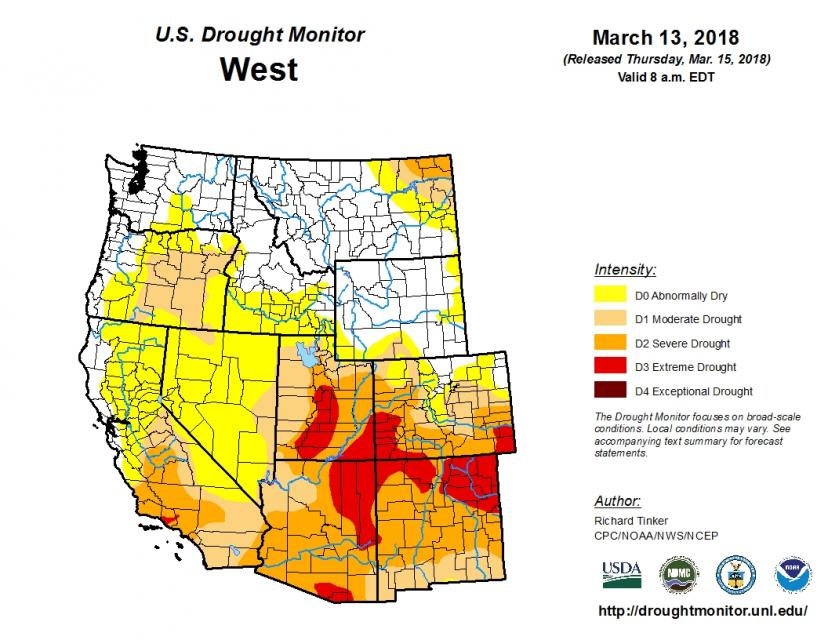
A drought has lingered in the
Colorado River Basin since 2000, causing reservoir storage to
decline from nearly full to about half of capacity. So far this
year, a meager snowpack in the Rocky Mountains hasn’t helped
much.
In fact, forecasters say this winter will likely go down as the
sixth-driest on record for the river system that supplies water
to seven states, including California, and Mexico.
On our Lower
Colorado River Tour, April 11-13, you will meet with water
managers from the three Lower Basin states: Nevada, Arizona and
California. The three states are working to finalize a Drought
Contingency Plan to take voluntary cuts to keep Lake Mead, the
nation’s largest reservoir, from hitting critical levels and
causing a shortage declaration.
Tickets are now on sale for the Water Education Foundation’s April 11-13 tour of the Lower Colorado River.
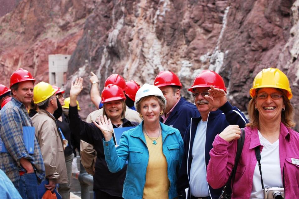
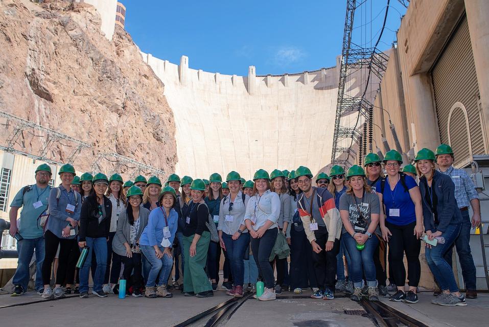
Don’t miss this opportunity to visit key sites along one of the nation’s most famous rivers, including a private tour of Hoover Dam, Central Arizona Project’s Mark Wilmer pumping plant and the Havasu National Wildlife Refuge. The tour also visits the Salton Sea, Slab City, the All-American Canal and farming regions in the Imperial and Coachella valleys.
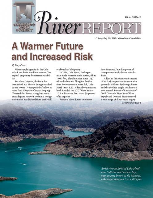
Rising temperatures from climate change are having a noticeable
effect on how much water is flowing down the Colorado River. Read
the latest River Report to learn more about what’s
happening, and how water managers are responding.
This issue of Western Water discusses the challenges
facing the Colorado River Basin resulting from persistent
drought, climate change and an overallocated river, and how water
managers and others are trying to face the future.
Since 2000, the Colorado River Basin has experienced an historic,
extended drought causing reservoir storage in the Colorado River
system to decline from nearly full to about half of capacity. For
the Lower Basin, a key point has been to maintain the level of
Lake Mead to prevent a shortage declaration.
A healthy snowfall in the Rockies has reduced the odds of a
shortage this year, but the basin states still must come to terms
with a static supply and growing demands, as well as future
impacts from climate change.
On our Lower
Colorado River Tour, April 5-7, you will meet with water
managers from the three Lower Basin states: Nevada, Arizona and
California. Federal, state and local agencies will update you on
the latest hydrologic conditions and how recent storms might
change plans for water supply and storage.
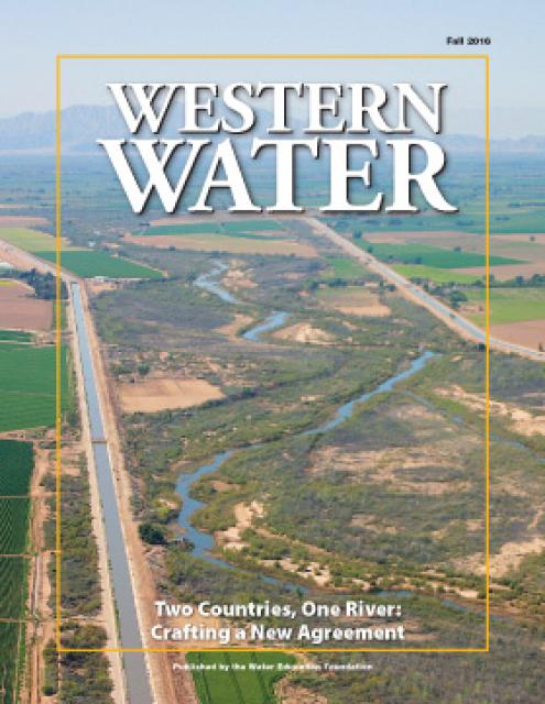
This issue of Western Water examines the ongoing effort
between the United States and Mexico to develop a
new agreement to the 1944 Treaty that will continue the
binational cooperation on constructing Colorado River
infrastructure, storing water in Lake Mead and providing instream
flows for the Colorado River Delta.
The All-American Canal delivers
Colorado River water to
the Imperial Valley,
sustaining a desert valley that is one of the most productive
agricultural regions in the world. The canal, about 80 miles
long, joins the Imperial
Dam (and its desilting works) and the 123-mile-long
Coachella Canal to complete the All-American Canal System.
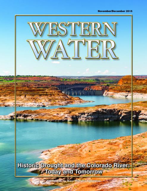
The dramatic decline in water levels in Lake Mead and Lake Powell
is perhaps the most visible sign of the historic drought that has
gripped the Colorado River Basin for the past 16 years. In 2000,
the reservoirs stood at nearly 100 percent capacity; today, Lake
Powell is at 49 percent capacity while Lake Mead has dropped to
38 percent. Before the late season runoff of Miracle May, it
looked as if Mead might drop low enough to trigger the first-ever
Lower Basin shortage determination in 2016.
Read the excerpt below from the Sept./Oct. 2015 issue along
with the editor’s note. Click here to subscribe to Western
Water and get full access.
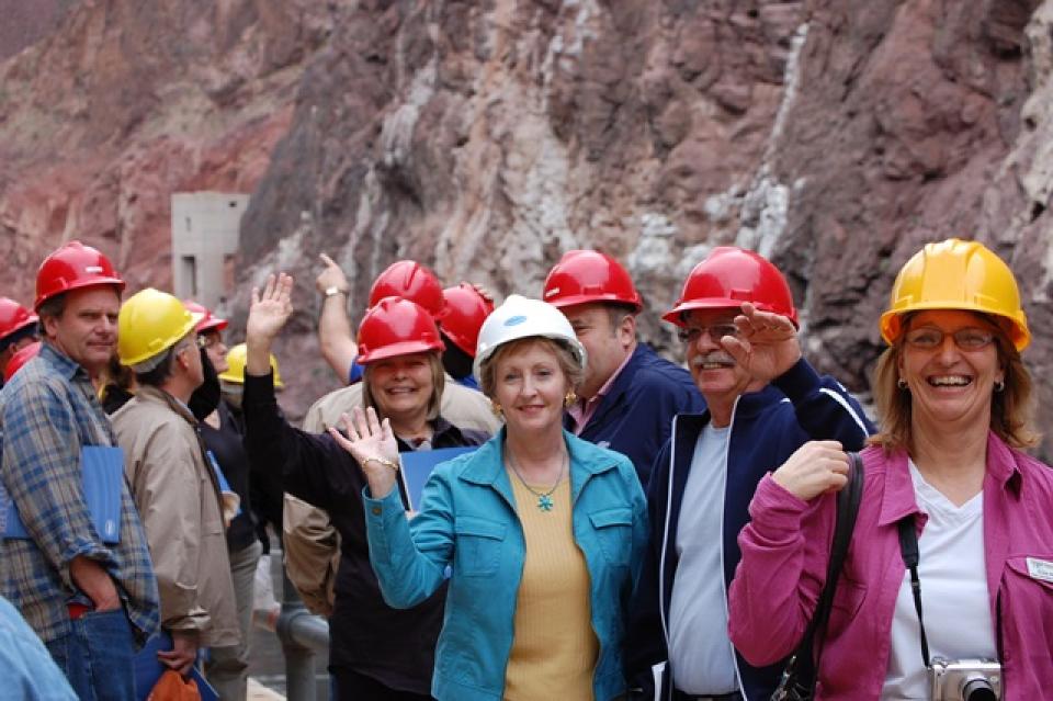
This 3-day, 2-night tour followed the course of the
lower Colorado River through Nevada, Arizona and California, and
included a private tour of Hoover Dam.
This 25-minute documentary-style DVD, developed in partnership
with the California Department of Water Resources, provides an
excellent overview of climate change and how it is already
affecting California. The DVD also explains what scientists
anticipate in the future related to sea level rise and
precipitation/runoff changes and explores the efforts that are
underway to plan and adapt to climate.
30-minute DVD that traces the history of the U.S. Bureau of
Reclamation and its role in the development of the West. Includes
extensive historic footage of farming and the construction of
dams and other water projects, and discusses historic and modern
day issues.
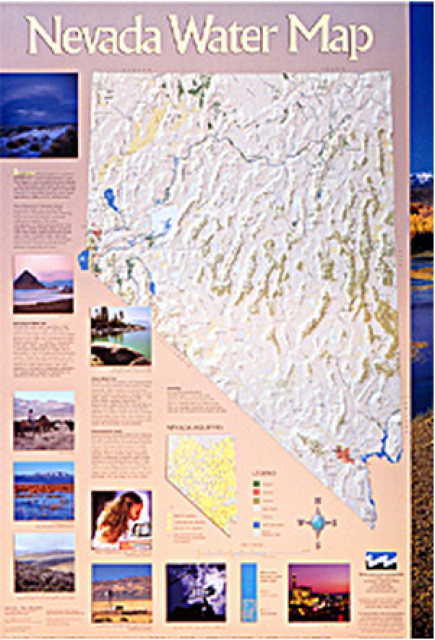
This 24×36 inch poster, suitable for framing, illustrates the
water resources available for Nevada cities, agriculture and the
environment. It features natural and manmade water resources
throughout the state, including the Truckee and Carson rivers,
Lake Tahoe, Pyramid Lake and the course of the Colorado River
that forms the state’s eastern boundary.
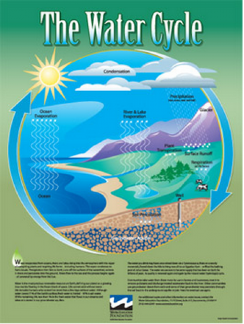
Water as a renewable resource is depicted in this 18×24 inch
poster. Water is renewed again and again by the natural
hydrologic cycle where water evaporates, transpires from plants,
rises to form clouds, and returns to the earth as precipitation.
Excellent for elementary school classroom use.
Redesigned in 2017, this beautiful map depicts the seven
Western states that share the Colorado River with Mexico. The
Colorado River supplies water to nearly 40 million people in
Arizona, California, Colorado, Nevada, New Mexico, Utah, Wyoming
and Mexico. Text on this beautiful, 24×36-inch map, which is
suitable for framing, explains the river’s apportionment, history
and the need to adapt its management for urban growth and
expected climate change impacts.
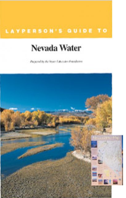
The 28-page Layperson’s Guide to Nevada Water provides an
overview of the history of water development and use in Nevada.
It includes sections on Nevada’s water rights laws, the history
of the Truckee and Carson rivers, water supplies for the Las
Vegas area, groundwater, water quality, environmental issues and
today’s water supply challenges.
A new look for our most popular product! And it’s the perfect
gift for the water wonk in your life.
Our 24×36-inch California Water Map is widely known for being the
definitive poster that shows the integral role water plays in the
state. On this updated version, it is easier to see California’s
natural waterways and man-made reservoirs and aqueducts
– including federally, state and locally funded
projects – the wild and scenic rivers system, and
natural lakes. The map features beautiful photos of
California’s natural environment, rivers, water projects,
wildlife, and urban and agricultural uses and the
text focuses on key issues: water supply, water use, water
projects, the Delta, wild and scenic rivers and the Colorado
River.
This 3-day, 2-night tour follows the course of the lower Colorado River through Nevada, Arizona and California, and includes a private tour of Hoover Dam.
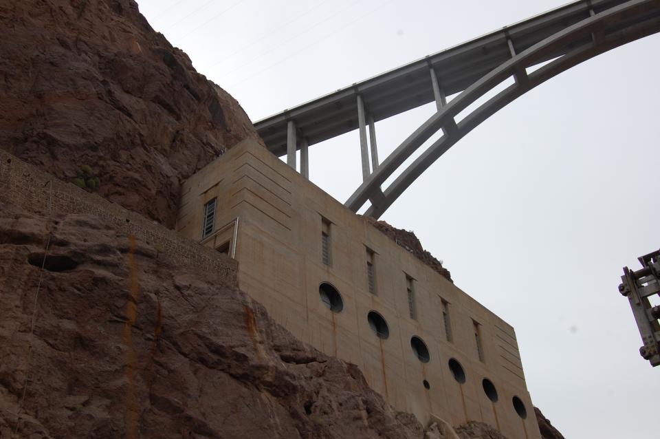
Hoover Dam, one of the tallest dams
in the United States and a National Historic Landmark that draws
tourists from across the globe, is a key reservoir providing
flood control, water storage and irrigation along the lower
Colorado River. It also
is one of the nation’s largest hydroelectric facilities,
generating on average about 4 billion kilowatt-hours of
hydroelectric power each year, enough electricity to serve more
than 1.3 million people in Nevada, Arizona and California.
This printed issue of Western Water examines how the various
stakeholders have begun working together to meet the planning
challenges for the Colorado River Basin, including agreements
with Mexico, increased use of conservation and water marketing,
and the goal of accomplishing binational environmental
restoration and water-sharing programs.
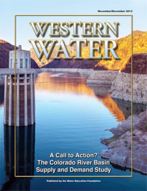
This printed issue of Western Water examines the
Colorado River Basin Water Supply and Demand Study and what its
finding might mean for the future of the lifeblood of the
Southwest.
This printed issue of Western Water explores the
historic nature of some of the key agreements in recent years,
future challenges, and what leading state representatives
identify as potential “worst-case scenarios.” Much of the content
for this issue of Western Water came from the in-depth
panel discussions at the Colorado River Symposium. The Foundation
will publish the full proceedings of the Symposium in 2012.
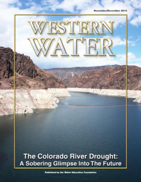
This printed issue of Western Water examines the
Colorado River drought, and the ongoing institutional and
operational changes underway to maintain the system and meet the
future challenges in the Colorado River Basin.
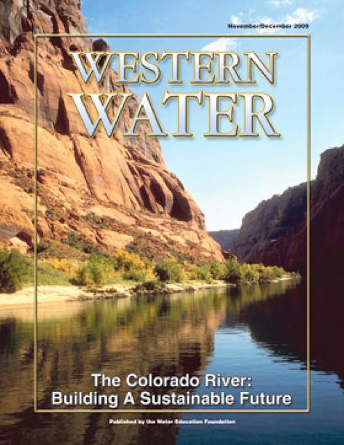
This printed issue of Western Water explores some of the major
challenges facing Colorado River stakeholders: preparing for
climate change, forging U.S.-Mexico water supply solutions and
dealing with continued growth in the basins states. Much of the
content for this issue of Western Water came from the in-depth
panel discussions at the September 2009 Colorado River Symposium.
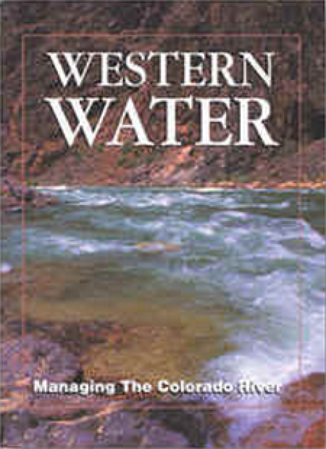
Drawn from a special stakeholder symposium held in September 1999
in Keystone, Colorado, this issue explores how we got to where we
are today on the Colorado River; an era in which the traditional
water development of the past has given way to a more
collaborative approach that tries to protect the environment
while stretching available water supplies.


")


 and other tributaries of the upper Colorado River have declined dramatically and contributed to the precipitous declines of Lake Powell and Lake Mead. (Source: The Water Desk)")

")
")
")

")
")
")

")
")
")

")