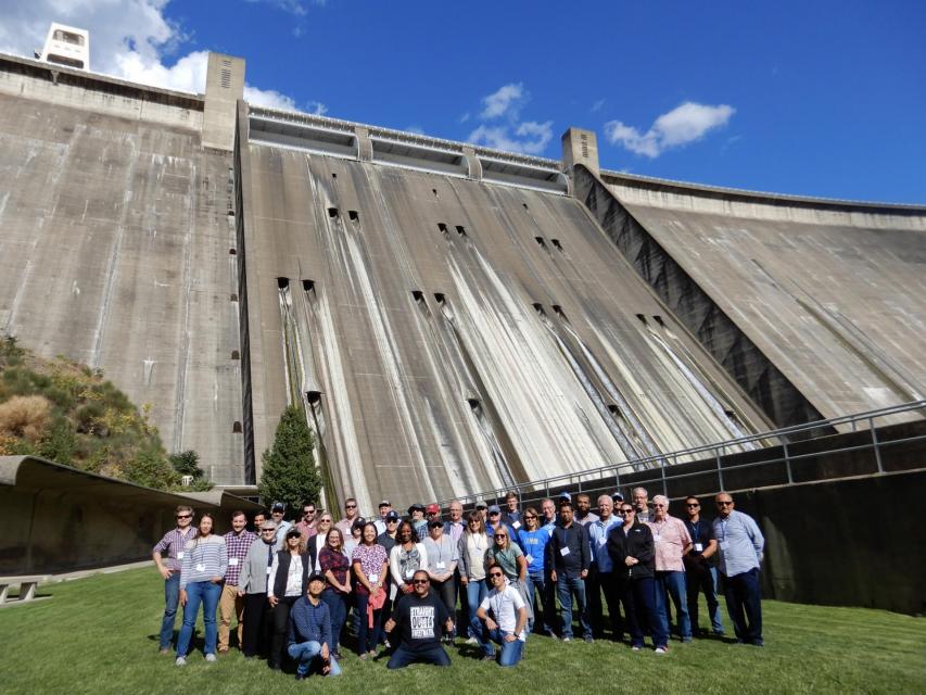
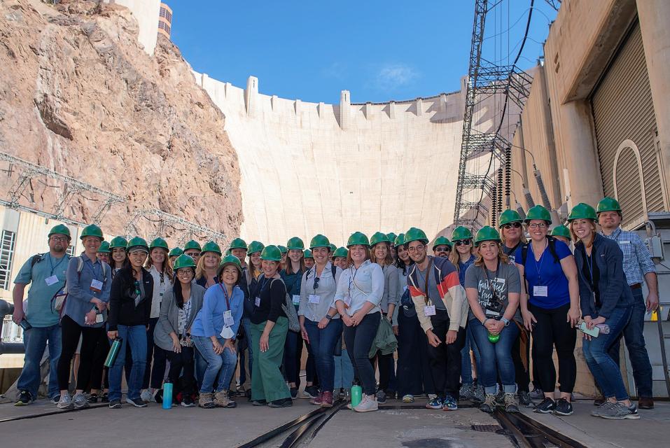
This tour explored the lower Colorado River firsthand where virtually every drop of the river is allocated, yet demand is growing from myriad sources — increasing population, declining habitat, drought and climate change.
The 1,450-mile river is a lifeline to some 40 million people in the Southwest across seven states, 30 tribal nations and Mexico. How the Lower Basin states – Arizona, California and Nevada – use and manage this water to meet agricultural, urban, environmental and industrial needs was the focus of this tour.
Hilton Garden Inn Las Vegas Strip South
7830 S Las Vegas Blvd
Las Vegas, NV 89123
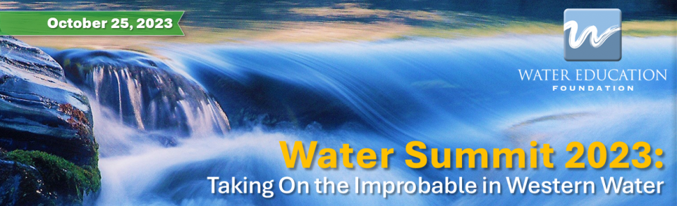
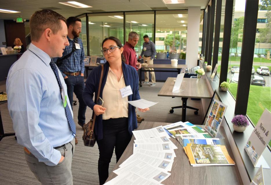
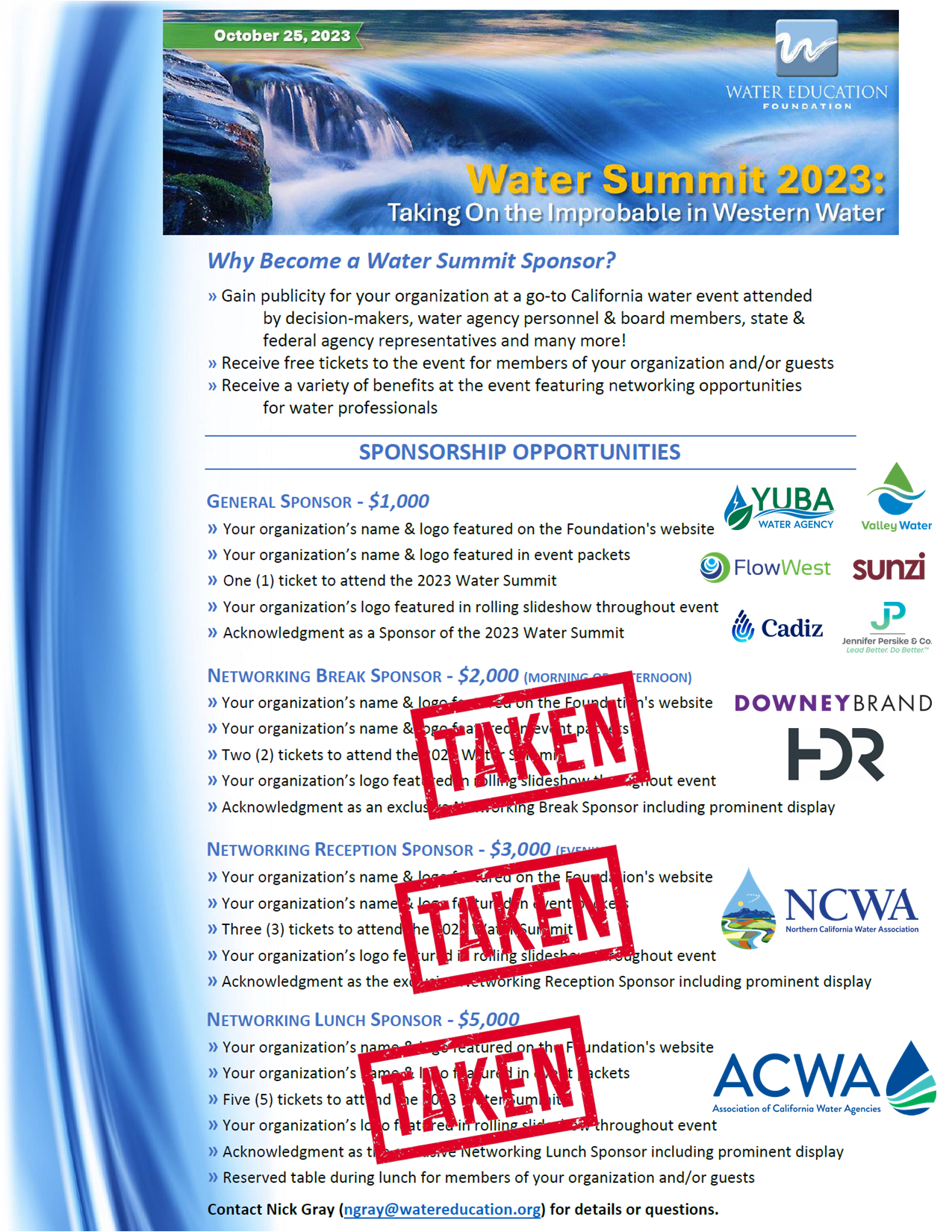
The Water Summit is the Water Education Foundation’s premier event of the year, with leading policymakers and experts addressing critical water issues in California and across the West.
This year’s event was held Wednesday, October 25, at The Sawyer Hotel in Sacramento and included lunch and an evening reception to network with speakers and fellow attendees.
The Sawyer Hotel
500 J Street
Sacramento, CA 95814
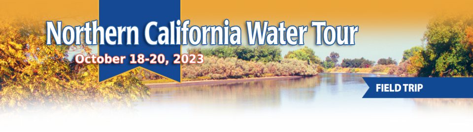
This tour explored the Sacramento River and its tributaries through a scenic landscape while learning about the issues associated with a key source for the state’s water supply.
All together, the river and its tributaries supply 35 percent of California’s water and feed into two major projects: the State Water Project and the federal Central Valley Project.
Water Education Foundation
2151 River Plaza Drive, Suite 205
Sacramento, CA 95833
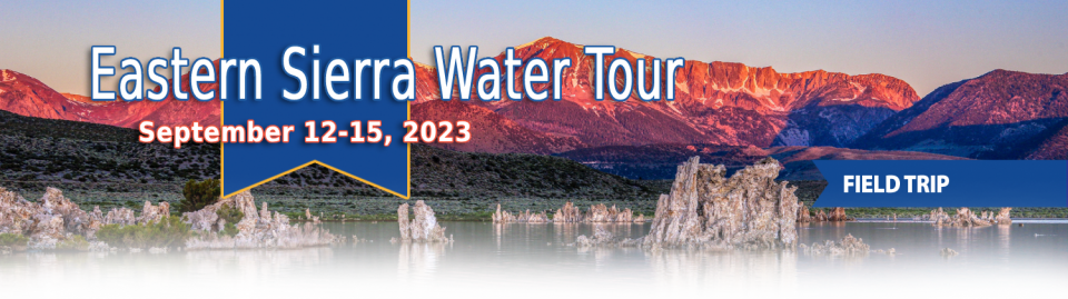
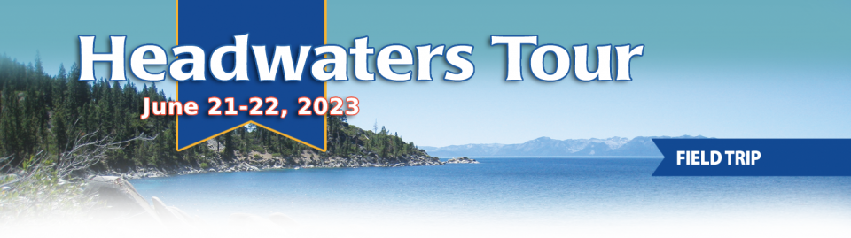
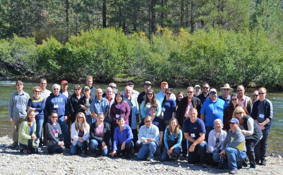
This special Foundation water tour journeyed along the Eastern Sierra from the Truckee River to Mono Lake, through the Owens Valley and into the Mojave Desert to explore a major source of water for Southern California, this year’s snowpack and challenges for towns, farms and the environment.
On average, more than 60 percent of
California’s developed water supply originates in the Sierra
Nevada and the southern spur of the Cascade Range. Our water
supply is largely dependent on the health of our Sierra forests,
which are suffering from ecosystem degradation, drought,
wildfires and widespread tree mortality.
This tour ventured into the Sierra to examine water issues
that happen upstream but have dramatic impacts downstream and
throughout the state.
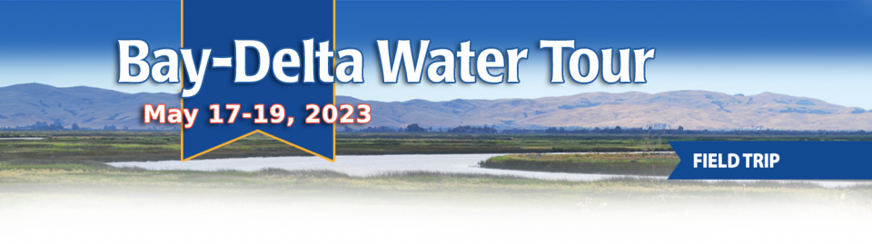
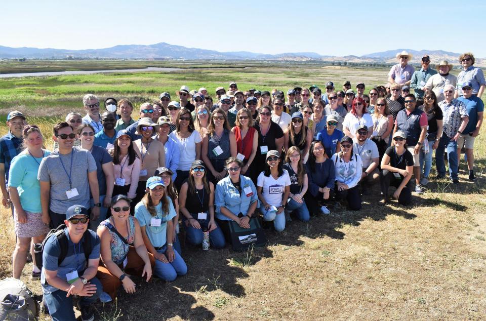
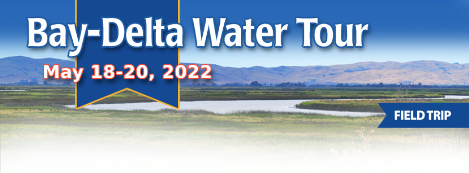
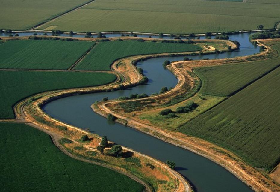
This tour traveled deep into California’s water hub and traversed the Sacramento-San Joaquin Delta, a 720,000-acre network of islands and canals that supports the state’s water system and is California’s most crucial water and ecological resource. The tour made its way to San Francisco Bay and included a ferry ride.
Water from Northern California flows through the Delta and provides drinking water for more than 27 million Californians and irrigation to about 3 million acres of farmland that contribute to the state’s $54 billion agricultural industry.
Water Education Foundation
2151 River Plaza Drive, Suite 205
Sacramento, CA 95833
The Water Education Foundation
hosted an open house and reception on May 4 as part of the
Big Day of Giving campaign.
People came to our Sacramento office between 3:30 and
6:30 p.m. to meet our team and learn more
about what we do to educate and inspire understanding of the
most precious natural resource in California and across the
West — water!
They enjoyed refreshments and appetizers while catching up on
our tours, conferences, maps, water news and
training programs for teachers and up-and-coming water
professionals.
2151 River Plaza Drive, Suite 205
Sacramento CA 95833
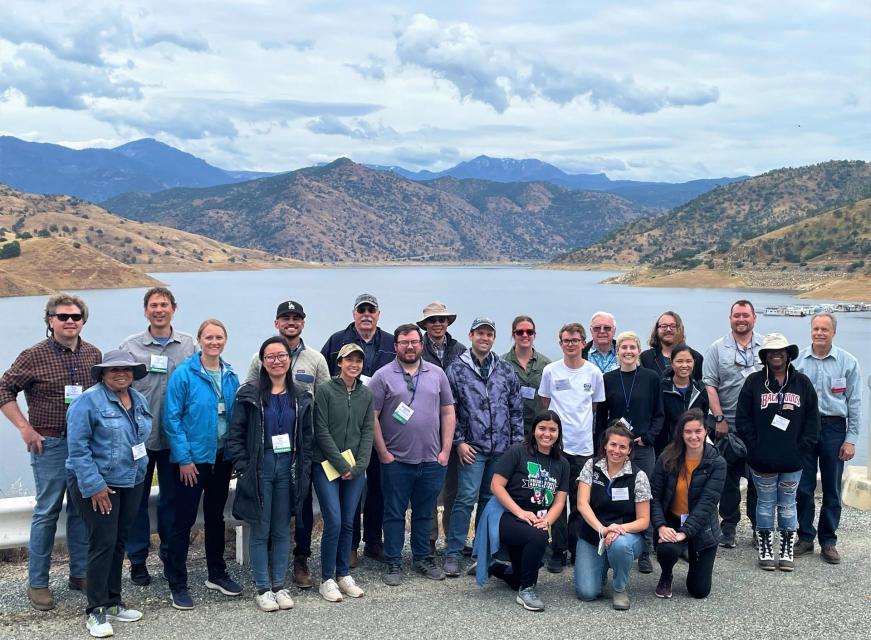
This tour ventured through California’s Central Valley, known as the nation’s breadbasket thanks to an imported supply of surface water and local groundwater. Covering about 20,000 square miles through the heart of the state, the valley provides 25 percent of the nation’s food, including 40 percent of all fruits, nuts and vegetables consumed throughout the country.
Water Education Foundation
2151 River Plaza Drive, Suite 205
Sacramento, CA 95833
This tour explored the lower Colorado River firsthand where virtually every drop of the river is allocated, yet demand is growing from myriad sources — increasing population, declining habitat, drought and climate change.
The 1,450-mile river is a lifeline to some 40 million people in the Southwest across seven states, 30 tribal nations and Mexico. How the Lower Basin states – Arizona, California and Nevada – use and manage this water to meet agricultural, urban, environmental and industrial needs was the focus of this tour.
Hyatt Place Las Vegas At Silverton Village
8380 Dean Martin Drive
Las Vegas, NV 89139
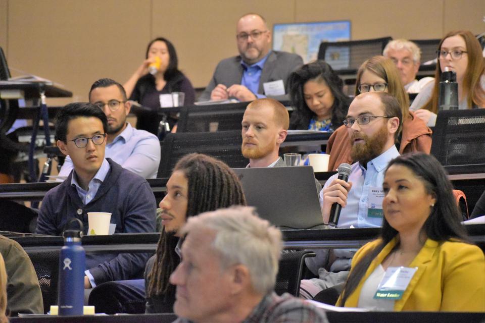
One of our most popular events, our annual Water 101 Workshop
detailed the history, geography, legal and political facets
of water in California as well as hot topics currently facing the
state.
Taught by some of the leading policy
and legal experts in California, the one-day workshop on
February 23 gave attendees a deeper understanding of the state’s
most precious natural resource. View the workshop agenda by
clicking here.
The workshop, hosted at McGeorge School of Law in Sacramento, was
beneficial to water district directors, water resource industry
staff, engineering and environmental firm personnel, city council
members, county supervisors, legislators, legislative staff,
press, advocates, attorneys, environmentalists, public interest
organizations and others.
McGeorge School of Law
3327 5th Ave.
Sacramento, CA 95817
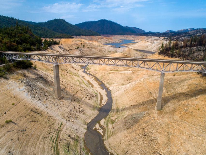
The three-year span, 2019 to 2022, was officially the driest ever
statewide going back to 1895 when modern records began in
California. But that most recent period of overall drought
also saw big swings from very wet to very dry stretches such
as the 2021-2022 water year that went from a relatively
wet Oct.-Dec. beginning to the driest Jan.-March period in the
state’s history.
With La Niña conditions predicted to persist into the
winter, what can reliably be said about the prospects for
Water Year 2023? Does La Niña really mean anything for California
or is it all washed up as a predictor in this new reality of
climate whiplash, and has any of this affected our reliance on
historical patterns to forecast California’s water supply?
Participants found out what efforts are being made to
improve sub-seasonal to seasonal (S2S) precipitation
forecasting for California and the Colorado River Basin at our
one-day Winter Outlook Workshop December
8 in Irvine, CA.
Beckman Center
Huntington Room
100 Academy Way
Irvine, California 92617
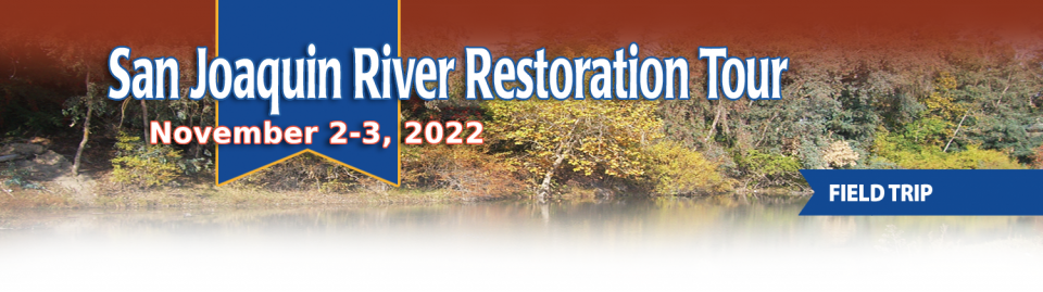
This tour traveled along the San Joaquin River to learn firsthand
about one of the nation’s largest and most expensive river
restoration projects.
The San Joaquin River was the focus of one of the most
contentious legal battles in California water history,
ending in a 2006 settlement between the federal government,
Friant Water Users Authority and a coalition of environmental
groups.
Hampton Inn & Suites Fresno
327 E Fir Ave
Fresno, CA 93720
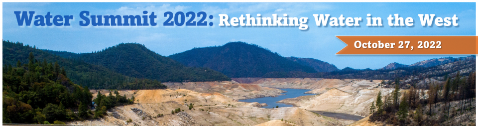
Our 2022 Water Summit, the Water Education Foundation’s premier
event of the year, featured engaging conversations about
critical issues impacting water statewide and across the
West revolving around the theme: Rethinking
Water in the West.
The in-person event was hosted on Thursday, October 27, at The
Westin Sacramento and included lunch and an evening
reception along California’s largest and longest river, the
Sacramento River, for an opportunity to network with speakers and
other attendees.
The Westin Sacramento
4800 Riverside Blvd.
Sacramento, CA 95822
We marked the 25th anniversary of
our California Water
Leaders program by holding a reunion of alums dating
back to 1997 when the program first began.
If you had gone through our program, registration was
available for our reunion on Oct. 26, from 4 p.m.
to 7:30 p.m., to mark the special anniversary. We
hosted it in Sacramento along the American River in a
rustic, relaxed setting with lawn games, happy hour and
dinner.
This tour explored the Sacramento River and its tributaries
through a scenic landscape while learning about the issues
associated with a key source for the state’s water supply.
All together, the river and its tributaries supply 35 percent of
California’s water and feed into two major projects: the State
Water Project and the federal Central Valley Project.
Water Education Foundation
2151 River Plaza Drive, Suite 205
Sacramento, CA 95833
Over the past decade, climate
whiplash in California has been evident in the big swings from
very dry years to very wet years and back again. That dynamic was
seen in microcosm within the 2021-2022 water year as we went from
a relatively wet beginning from Oct.-Dec. to the driest
Jan.-March period in the state’s history, rendering the spring’s
precipitation “too little, too late.”
How has this new reality affected our reliance on historical
patterns to forecast California’s water supply? What efforts are
being made to improve precipitation forecasting at varying time
scales through new science, models and technology? Participants
found out at our one-day event June 9 in Irvine,
Making Progress on Drought Management: Improvements in
Seasonal Precipitation Forecasting.
Beckman Center
Huntington Room
100 Academy Way
Irvine, California 92617
This tour traveled deep into California’s water hub and traversed the Sacramento-San Joaquin Delta, a 720,000-acre network of islands and canals that supports the state’s water system and is California’s most crucial water and ecological resource. The tour made its way to San Francisco Bay and included a ferry ride.
Water from Northern California flows through the Delta and provides drinking water for more than 27 million Californians and irrigation to about 3 million acres of farmland that contribute to the state’s $54 billion agricultural industry.
Water Education Foundation
2151 River Plaza Drive, Suite 205
Sacramento, CA 95833
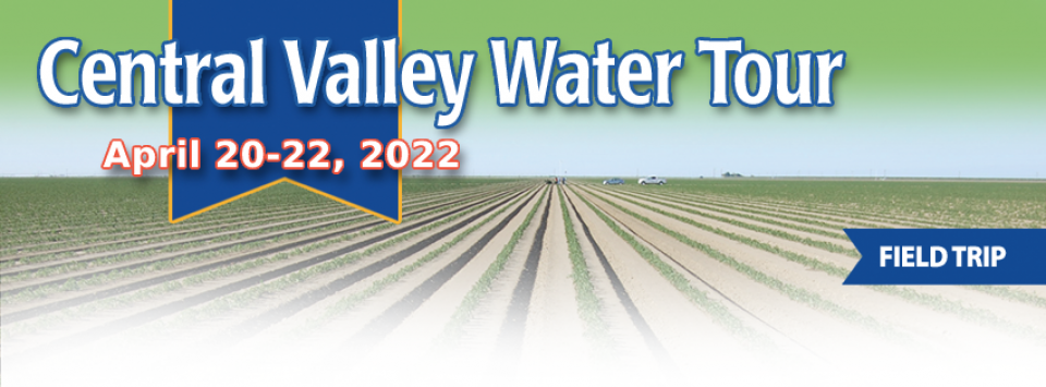
This tour ventured through California’s Central Valley, known as the nation’s breadbasket thanks to an imported supply of surface water and local groundwater. Covering about 20,000 square miles through the heart of the state, the valley provides 25 percent of the nation’s food, including 40 percent of all fruits, nuts and vegetables consumed throughout the country.
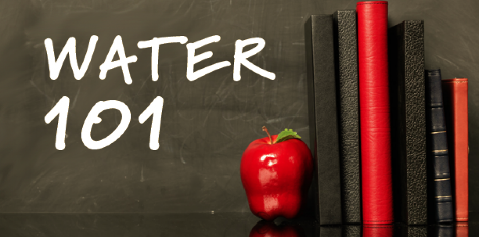
One of our most popular events, our
annual Water 101 Workshop detailed the history,
geography, legal and political facets of water in California
as well as hot topics of the moment.
Taught by some of the leading policy and legal experts in
California, the one-day workshop on
April 8 gave attendees a deeper understanding of
the state’s most precious natural resource.
The workshop, held at McGeorge School of Law in Sacramento,
was beneficial to water resource industry staff, engineering
and environmental firm personnel, city council members, county
supervisors, legislators, legislative staff, press, advocates,
attorneys, environmentalists, public interest organizations,
water district directors and others.
McGeorge School of Law
3327 5th Ave.
Sacramento, CA 95817
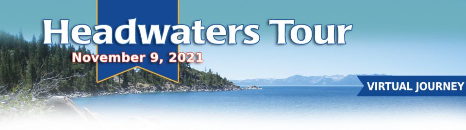
Thirty percent of California’s developed water supply originates high in the Sierra Nevada mountains. Our water supply is largely dependent on the health of our Sierra forests, which are suffering from ecosystem degradation, drought, wildfires, widespread tree mortality and other climate change impacts.
This virtual journey into the foothills and the mountains examined water issues that happen upstream but have dramatic impacts downstream and throughout the state.
Just fill out the form below to submit your event to our staff
for review. Please note that we will not publish the “submission
contact information,” it will only be used by our staff if we
need to contact you with questions.


