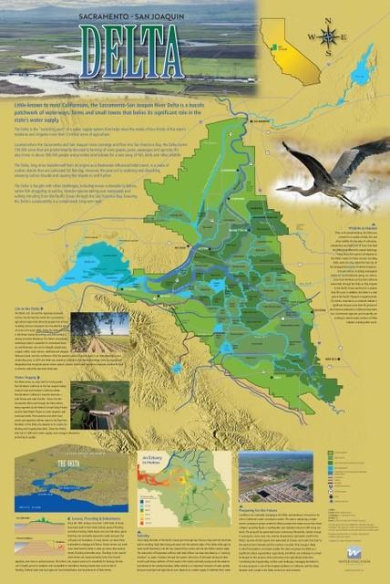
Our map of the Sacramento-San
Joaquin River Delta has been updated with a fresh, new look and
new text and images to better tell the story of one of
California’s most important ecological and water supply
resources.
The new
map explores the Delta’s importance as a haven for
birds, fish and other wildlife, its vital role in moving water to
farms and cities across California, and the array of challenges
facing the Delta’s present and future. The map also highlights
life in the Delta, including its role as a farming region and its
attractions for fishermen, boaters and others looking for
recreation.
Learn from top water experts at our
annual Water
101 Workshop about the history, hydrology and
law behind California water as well as hot topics such as water
equity, the Delta and flows, new federal
administration and more.
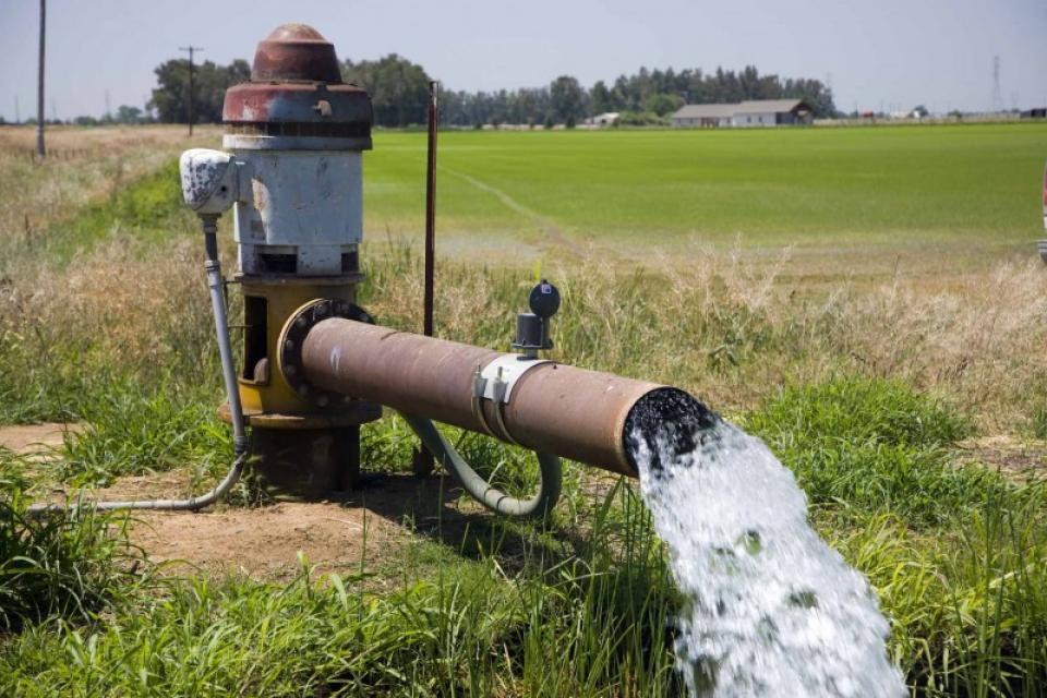
This year’s workshop, set for April 22-23, will be held virtually
and feature a presentation devoted
solely to groundwater. In a typical year, groundwater
quenches some 40 percent of the state’s freshwater needs, and 85
percent of Californians depend on groundwater for at least
portion of their drinking water supply. With California using
more groundwater than any other state, participants will learn
how all this affects efforts to comply with the state’s 2014
Sustainable Groundwater Management Act.
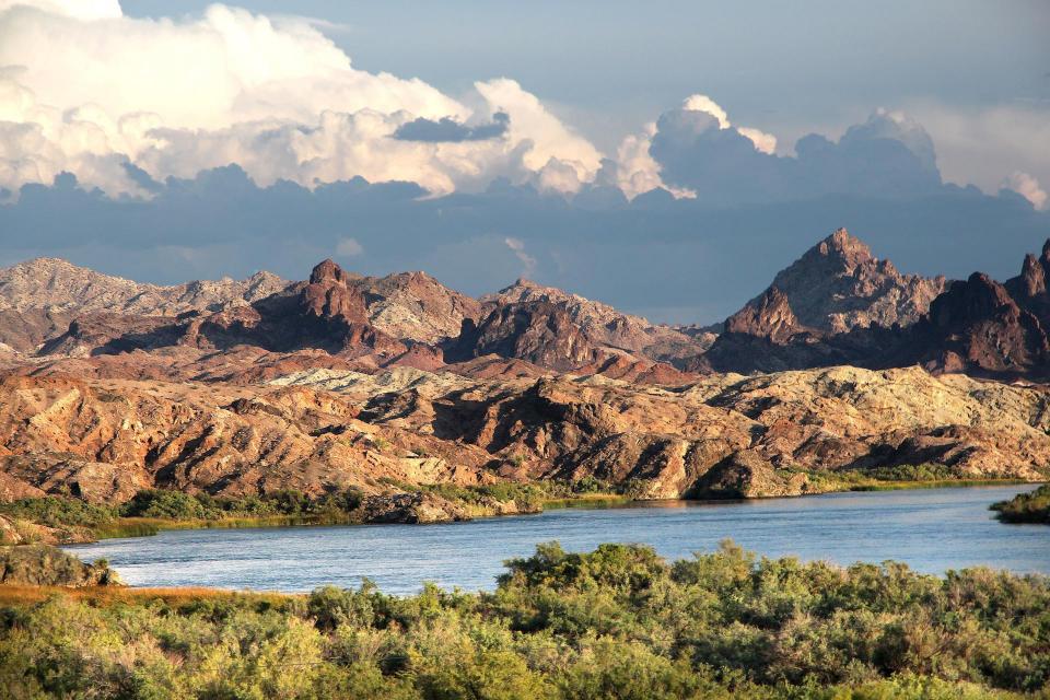
Mark your calendars now for our
virtual Lower Colorado River Tour on May 20 to
learn about the important role the river’s water plays in the
three Lower Basin states of Nevada, Arizona and California, and
how it helps to sustain their cities, wildlife areas and farms.
Registration is coming soon!
This virtual journey will cover a stretch of the Colorado
River from Hoover Dam and its reservoir Lake Mead, the
nation’s tallest concrete dam and largest reservoir
respectively, down to the U.S./Mexico border and up to the
Salton Sea.