Header link June 22, 2020

LinkedIn

  • Read more
Header link September 15, 2014

Cart

  • Read more
Header link November 3, 2015

Donate Now

  • Read more
Header link May 15, 2014

Twitter

  • Read more
Header link May 15, 2014

Facebook

  • Read more
Instagram
Header link May 15, 2014

Instagram

  • Read more
Header link May 15, 2014

Contact Us

  • Read more
More options
Water Education Foundation
Home

Water Education Foundation

Everything about California water that matters
  • Water Academy
    • Agriculture
      • Agricultural Conservation
      • Agricultural Drainage
    • Background Information
      • Legislation — California and Federal
      • Regulations — California and Federal
      • Water History
      • Water Rights
    • Bay-Delta
      • Bay Delta
      • Bay Delta Conservation Plan
      • Delta Issues
      • Delta Smelt
      • Sacramento San Joaquin Delta
      • San Francisco Bay
      • Suisun Marsh
    • Dams, Reservoirs and Water Projects
      • California Aqueduct
      • Central Valley Project
      • Folsom Dam
      • Friant Dam
      • Hetch Hetchy
      • Hoover Dam
      • Infrastructure
      • Lake Mead
      • Lake Powell
      • Oroville Dam
      • San Luis Dam
      • Shasta Dam
      • State Water Project
    • Environmental Issues
      • Anadromous Fish Restoration
      • Ecosystem
      • Endangered Species Act
      • Invasive species
      • Lake Tahoe
      • Mono Lake
      • Public Trust Doctrine
      • Salmon
      • San Joaquin River Restoration
      • Watershed
      • Wetlands
    • Leaders and Experts
    • Regions
      • Central Coast
      • Central Valley
      • Mexico
      • Nevada
      • North Coast
      • Pyramid Lake
      • Sacramento Valley
      • Salton Sea
      • San Joaquin Valley
      • Sierra Nevada
      • Southern California
      • Tulare Lake Basin
    • Rivers
      • Carson River
      • Colorado River
      • Klamath River
      • New River
      • North Coast Rivers
      • Russian River
      • Sacramento River
      • Truckee River
      • San Joaquin River
    • Water Issues
      • Climate Change
      • Coronavirus
      • Drought
      • Earthquakes
      • Energy and Water
      • Floods
      • Fracking
      • Growth
      • Hydropower
      • Levees
      • Tribal Water Issues
      • Water Conservation
    • Water Quality
      • Drinking Water
      • Nitrate contamination
      • Pollution
      • Stormwater
      • Wastewater
      • Water Quality
    • Water Supply and Management
      • Acre Foot
      • Aquifers
      • California Water Plan
      • Conjunctive Use
      • Desalination
      • Grey water
      • Groundwater
      • Integrated Regional Water Management
      • Recreation
      • Surface Water
      • Water Marketing and Banking
      • Water Rates
      • Water Recycling
      • Water Supply
      • Water Transfers
  • Tours & Events
    • Water Tours
      • 2024 Tour Sponsors
    • Events
    • Event Calendar
    • Past Tours & Events
      • Anne J. Schneider Fund Lecture Series
  • Specialized Programs
    • Water Leaders
      • Cohort Rosters
      • Yearly Class Reports
      • Your Alumni Network
      • Alumni Profiles
    • Project WET
      • Workshops
      • Special Workshops & Events
      • Supplementary Materials
      • California Content Standard Correlations
      • Facilitator's Trainings
      • Foundation School Programs
        • Elementary Programs
        • Secondary Programs
      • Water Kids
      • California Project WET Gazette
      • Gazette Archives
    • Colorado River Project
    • GRA Scholastic Fund Program
  • Maps & Guides
    • Maps & Posters
    • Layperson's Guides
    • Map & Guide Bundles
    • Books
    • Colorado River Materials
    • California Runoff Rundown
    • Other Publications
    • Water Awareness Materials
    • Downloadable Publications
    • Videos and DVDs
      • Video Clips
    • School Age Publications
    • Stickers
    • Free Programs and Publications
  • Newsroom
    • Western Water News
    • Aquafornia
      • About Aquafornia
    • Information Desk
    • Western Water Magazine Archive
      • Full Print Edition
      • Print Edition Excerpts
    • River Report Archive
  • Aquapedia
    • Alphabetical List of Subjects
      • A
      • B
      • C
      • D
      • E
      • F
      • G
      • H
      • I
      • J
      • K
      • L
      • M
      • N
      • O
      • P
      • Q
      • R
      • S
      • T
      • U
      • V
      • W
      • X
      • Y
      • Z
    • Historical Water People
    • Where Does My Water Come From?
      • Northern California
      • Sacramento
      • North Bay
      • South Bay
      • Central Valley
      • Los Angeles
      • Inland Empire
      • San Diego
      • All California Water Sources
    • Timelines
    • Videos
    • Image Gallery
    • Water Directory
      • Federal Agencies
      • State Agencies in California
      • Environmental Organizations
      • Other California Organizations
      • State and Federal Legislative Committees
      • Water Associations and Groups
      • Western States Water Agencies and Districts
    • Online Resources
    • Useful Acronyms
    • About Aquapedia
  • About
    • About Us
      • Board of Directors
      • Staff Biographies
      • Job Openings
    • Announcements
    • Support Our Mission
      • Become a Member
      • Donate in Honor/Memory
      • Planned Giving
    • Contact Us
Western Water March 9, 2018 Colorado River Basin Map Gary Pitzer

A Colorado River Raft Trip Offers a Firsthand Lesson in the Power of Nature
ON THE ROAD: Writer Gary Pitzer offers a sense of the Grand Canyon that was first explored by John Wesley Powell
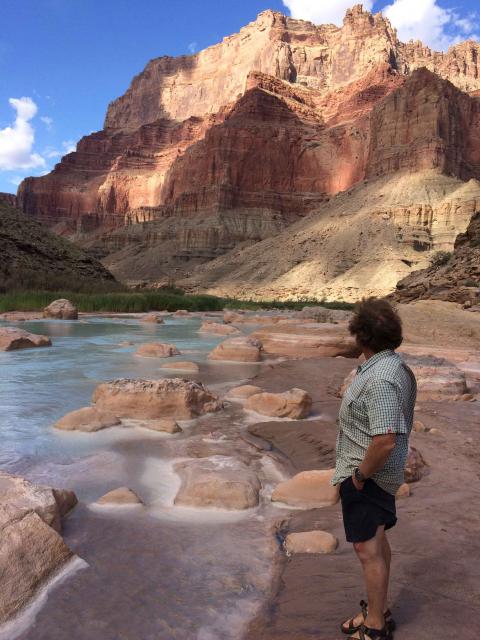
Writer Gary Pitzer at the Grand CanyonMost people see the Grand Canyon from the rim, thousands of feet above where the Colorado River winds through it for almost 300 miles.

But to travel it afloat a raft is to experience the wondrous majesty of the canyon and the river itself while gaining perspective about geology, natural beauty and the passage of time.

Beginning at Lees Ferry, some 30,000 people each year launch downriver on commercial or private trips. Before leaving, they are dutifully briefed by a National Park Service ranger who explains to them about the unique environment that awaits them, how to keep it protected and, most importantly, how to protect themselves.

They also are told about the pair of ravens that will inevitably follow them through the canyon, seizing every opportunity to scrounge food.

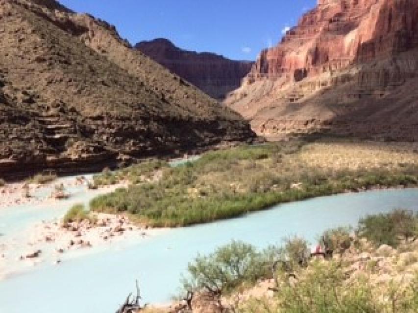
The Little Colorado River is one of the Colorado River's many tributaries.

The canyon is a harsh, unforgiving place and the potential pitfalls are many. There are stretches of thunderous, pitching rapids that test the stamina of the most seasoned boatman.  It is through these rapids and their memorable monikers – Hermit, Sockdolager, Upset and Lava Falls – that the traveler is reminded of the historic 1869 journey John Wesley Powell undertook into what he called the “great unknown.”

The shadow of Powell’s trip is everywhere in the canyon, including the spot where three of his party departed the expedition, never to be heard from again. Looking up the canyon walls from river level is to receive a firsthand lesson in the power of nature as layers of rock – some 2 billion years old – are revealed as the depths of the canyon unfold.

“The wonders of the Grand Canyon cannot be adequately represented in symbols of speech, nor by speech itself. The resources of the graphic art are taxed beyond their powers in attempting to portray its features. Language and illustration combined must fail.” - John Wesley Powell

The side canyons and tributaries are a marvel as well, with hanging gardens, plummeting waterfalls and in the case of the Little Colorado River, a turquoise-colored flow that defies description. On one occasion, a powerful deluge of rain and wind quickly turned a side canyon into a raging torrent of floodwater, forcing hikers to make a hasty retreat.

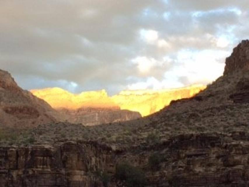
The interplay between sunlight and rock in the Grand Canyon is awe-inspiring.

Throughout the entire trip one is reminded how the once-wild Colorado River has been tamed, most notably by the daily fluctuations in its flow caused by releases from Glen Canyon Dam. Those who ran the river prior to the dam’s construction are part of a select group that got to experience it in its unbridled glory.

Many of those who have run the Colorado River through the Grand Canyon have one thought upon completion of their trip: when to return. Their motivation is no doubt inspired by Powell, who wrote that “the wonders of the Grand Canyon cannot be adequately represented in symbols of speech, nor by speech itself. The resources of the graphic art are taxed beyond their powers in attempting to portray its features. Language and illustration combined must fail.”

Experience a piece of the river on our Lower Colorado River Tour April 11-13. You’ll get a unique view of places like Hoover Dam and the Salton Sea, hear from water managers, farmers, environmental experts and others and learn about the challenges ahead for water resources in this important region. 
Know someone else who wants to stay connected with water in the West? Encourage them to sign up for Western Water, and follow us on Facebook or Twitter. 
  • Print-friendly

Referring Pages

Share this page

  • Share on Facebook
  • Share on Twitter
  • Share on LinkedIn
  • Sent to a friend.
Print-friendly

Related Links

Western Water March 9, 2018 Colorado River Basin Map Gary Pitzer
Maps & Posters May 20, 2014

Colorado River Basin Map
Redesigned in 2017

Redesigned in 2017, this beautiful map depicts the seven Western states that share the Colorado River with Mexico. The Colorado River supplies water to nearly 40 million people in Arizona, California, Colorado, Nevada, New Mexico, Utah, Wyoming and Mexico. Text on this beautiful, 24×36-inch map, which is suitable for framing, explains the river’s apportionment, history and the need to adapt its management for urban growth and expected climate change impacts.

  • Read more
Back
This item appears in:
  • Western Water News
  • Topic: Colorado River
Footer pod May 20, 2014

Water Education Foundation

Copyright © 2025 Water Education Foundation. All rights reserved.

The Water Education Foundation is a nonprofit, tax-exempt, 501(c)3 organization, federal tax ID #942419885.

Privacy Policy

Donor Privacy Policy

  • Read more
Footer pod May 20, 2014

Contact Information

2151 River Plaza Drive, Suite 205
Sacramento CA 95833

Telephone (916) 444-6240

Contact Us via email

  • Read more

Quicklinks

Footer quicklink May 20, 2014

Contact Us

  • Read more
Footer quicklink May 20, 2014

Donate Today

  • Read more
Footer quicklink May 20, 2014

Tours

  • Read more
Footer quicklink May 20, 2014

Newsletter Signup

  • Read more
Footer quicklink May 20, 2014

Foundation News

  • Read more
Footer quicklink May 20, 2014

Calendar

  • Read more

Log in

  • Create new account
  • Request new password

Commands

  • Support portal
  • Log in