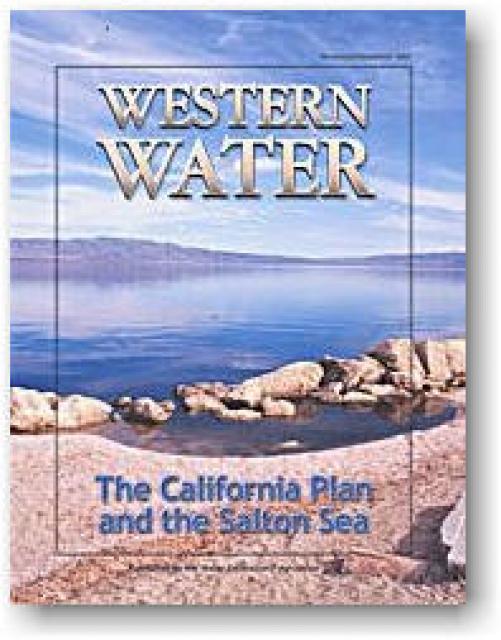
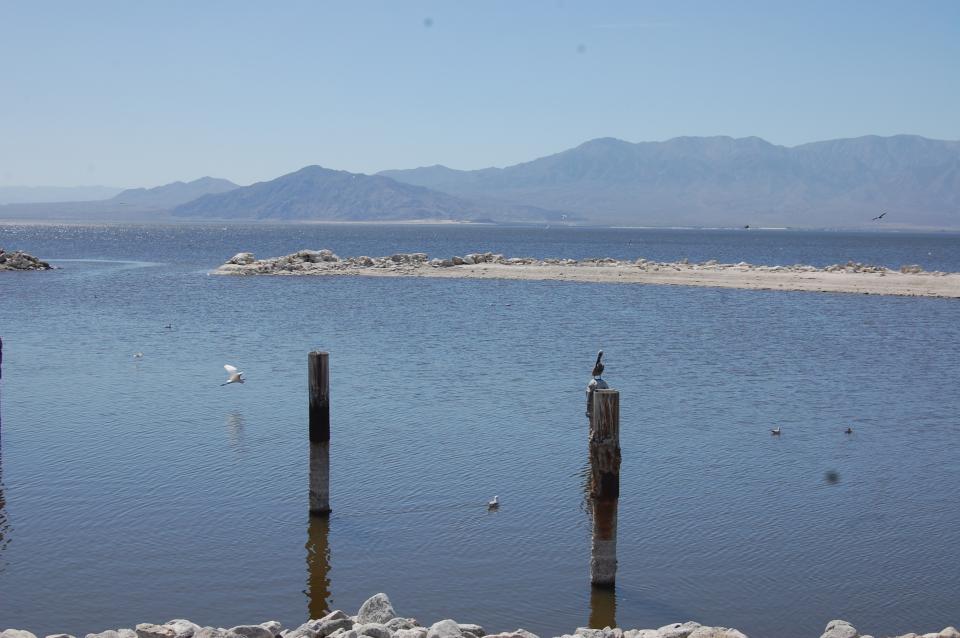
Southern California’s Salton Sea—approximately 232 feet (70 m)
below sea level— is one of the world’s largest inland seas. It
has 130 miles of shoreline and is larger than Lake Tahoe.
The sea was created in 1905 when the Colorado River broke through
a series of dikes, flooding a salty basin known as the Salton
Sink in the Imperial Valley. The sea is an important stopping
point for 1 million migratory waterfowl, and serves as critical
habitat for birds moving south to Mexico and Central America.
Overall, the Salton Sea harbors more than 270 species of birds
including ducks, geese, cormorants and pelicans.
… Formed in 1993, the Salton Sea Authority serves as a
central hub where local leaders, agencies, and community
members bring ideas for projects like trail systems and
community-centric developments. The Authority plays a crucial
role in aligning these ideas with the overarching restoration
plan. In an interview with NBC Palm Springs, the Authority’s
CEO discussed a significant new initiative: a $22.3 million
comprehensive feasibility study. The study will help develop a
realistic, achievable ecosystem restoration plan for the entire
Salton Sea, based on available resources. “Recently, we signed
an agreement to implement a longer-term feasibility study,” the
CEO explained. “It will effectively develop a feasible and
achievable ecosystem restoration plan for the entire sea based
on the resources that are available.”
California’s largest lake is shrinking—and transforming. NBC
Palm Springs’ Olivia Sandusky set sail from Bombay Beach to
explore the beauty, controversy, and potential of the Salton
Sea. Stretching 343 square miles and sitting 226 feet below sea
level, the Salton Sea is both majestic and endangered. Local
photographer Kevin Key, who now calls Bombay Beach home, says
he fell in love with the tranquility and surreal sunsets. But
the picturesque views mask serious problems: pollution from
agricultural runoff, receding shorelines, and a sharp decline
in wildlife. Despite decades of restoration attempts, many
question whether meaningful progress is being made. At the
sea’s south end, an ambitious future is taking shape: Lithium
Valley. With over 17 million metric tons of lithium beneath its
geothermal brine, the area is a focal point for renewable
energy development.
A massive lithium discovery beneath California’s Salton Sea has
set off a high-stakes push for what some have implied could be
America’s best shot at lithium self-sufficiency. The U.S.
Department of Energy confirmed in late 2023 that an estimated
18 million metric tons of lithium—often called “white gold” on
account of its silvery-white appearance and economic
importance—valued at roughly $540 billion is trapped in the
geothermal brine beneath the Salton Sea, a shrinking lake in
Southern California’s Imperial Valley. … Despite optimism
surrounding the potential economic upsides, some of the
projects are not without criticisms. One lawsuit filed by CCV
(Comite Civico del Valle) and Earthworks, an environmental
nonprofit, argued that the Hell’s Kitchen project’s
environmental review failed to account for potential air and
water hazards.
The California Natural Resources Agency has submitted its 2025
Annual Report on the Salton Sea Management Program (SSMP) to
the State Water Resources Control Board. … CNRA said 2024 was
the largest single year for Salton Sea restoration and
management funding in program history. In the fall of 2024, the
U.S. Bureau of Reclamation committed $175 million to accelerate
construction of restoration projects at the Sea, in addition to
$70 million previously committed, for a total of $245 million
in federal funding. California voters also passed the Climate
Bond (Proposition 4) in November 2024, which included $160
million for Salton Sea restoration and management projects, as
well as additional funding up to $10 million to create the new
Salton Sea Conservancy, which will focus on the long-term
operation and maintenance of the State’s restoration projects.
The first major development in Imperial County’s vaunted but
stalled Lithium Valley may have nothing to do with lithium.
Instead, a massive data server farm could replace hay fields on
a 315-acre patch along Highway 111 at West Sinclair Road, the
“gateway” to the proposed industrial zone in the Southern
California desert. CalETHOS president and chief operating
officer Joel Stone told The Desert Sun that the publicly traded
start-up aims to break ground on a 200,000-square-foot data
center by 2026. … Data centers, the physical backbone of
the Internet, are notorious for using huge amounts of
water and often polluting electricity. That
concerns some in a county dependent on the dwindling
Colorado River for all its water. … But
Stone said they want to build a cutting-edge campus that uses
the geothermal reserve for clean power and will require little
water.
The long-delayed restoration of the Salton Sea, the large,
ultra-briny California lake almost universally described as an
“environmental disaster,’’ could be starting to finally get its
sea legs. … Now a combination of factors, including the
presence of vast deposits of lithium about a mile under the
Salton Sea’s bottom, might provide enough impetus for a major
reclamation project that is certain to cost several billions of
dollars. Last fall Gov. Gavin Newsom signed a bill creating a
conservancy to manage efforts to rehabilitate the lake and
minimize its health impacts, and the state followed by
assigning $480 million – more than half of it from the federal
Inflation Reduction Act – to the project.
After decades of trial and error, a new plan is taking shape
around the Salton Sea, California’s largest — and endlessly
troubled — lake. The accidental inland sea, some 35 miles long,
sprung to life 120 years ago when the Colorado River breached
an irrigation canal east of Palm Springs. The sudden,
shimmering water briefly created a tourist boom that lasted
into the 1960s, though for much of the half-century, the lake
could more aptly be described as an environmental disaster
zone. Now a new wave of conservation efforts, sparked by
millions of dollars in recent federal funding, has washed
ashore at the ultra-briny sea, and there’s
cautious hope from some that incoming industry will bring
an economic boom. That is, if it doesn’t all fall apart
first.
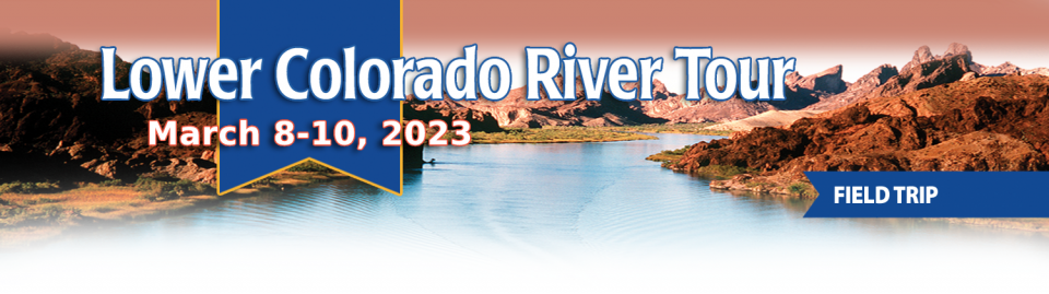
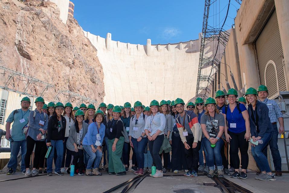
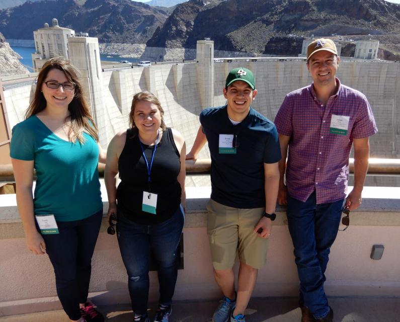
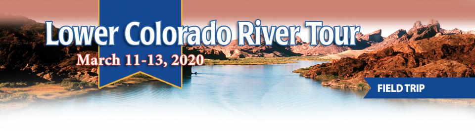
This tour explored the lower Colorado River firsthand where virtually every drop of the river is allocated, yet demand is growing from myriad sources — increasing population, declining habitat, drought and climate change.
The 1,450-mile river is a lifeline to some 40 million people in the Southwest across seven states, 30 tribal nations and Mexico. How the Lower Basin states – Arizona, California and Nevada – use and manage this water to meet agricultural, urban, environmental and industrial needs was the focus of this tour.
Hilton Garden Inn Las Vegas Strip South
7830 S Las Vegas Blvd
Las Vegas, NV 89123
Learn the history and challenges facing the West’s most dramatic
and developed river.
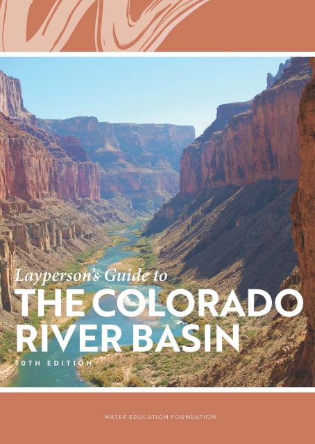
The Layperson’s Guide to the Colorado River Basin introduces the
1,450-mile river that sustains 40 million people and millions of
acres of farmland spanning seven states and parts of northern
Mexico.
The 28-page primer explains how the river’s water is shared and
managed as the Southwest transitions to a hotter and drier
climate.
This tour explored the lower Colorado River firsthand where virtually every drop of the river is allocated, yet demand is growing from myriad sources — increasing population, declining habitat, drought and climate change.
The 1,450-mile river is a lifeline to some 40 million people in the Southwest across seven states, 30 tribal nations and Mexico. How the Lower Basin states – Arizona, California and Nevada – use and manage this water to meet agricultural, urban, environmental and industrial needs was the focus of this tour.
Hilton Garden Inn Las Vegas Strip South
7830 S Las Vegas Blvd
Las Vegas, NV 89123
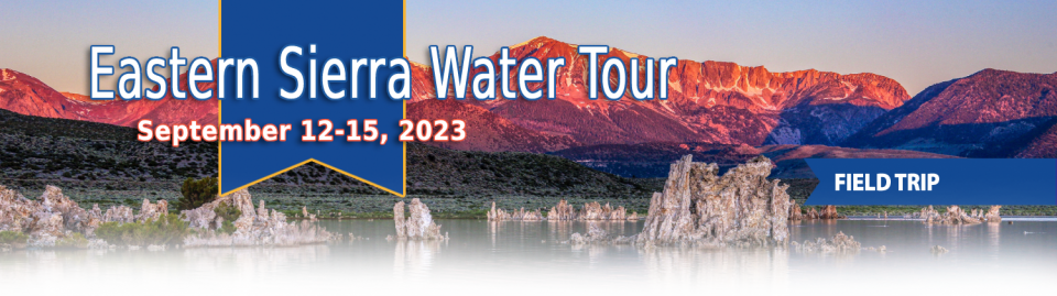
This special Foundation water tour journeyed along the Eastern Sierra from the Truckee River to Mono Lake, through the Owens Valley and into the Mojave Desert to explore a major source of water for Southern California, this year’s snowpack and challenges for towns, farms and the environment.
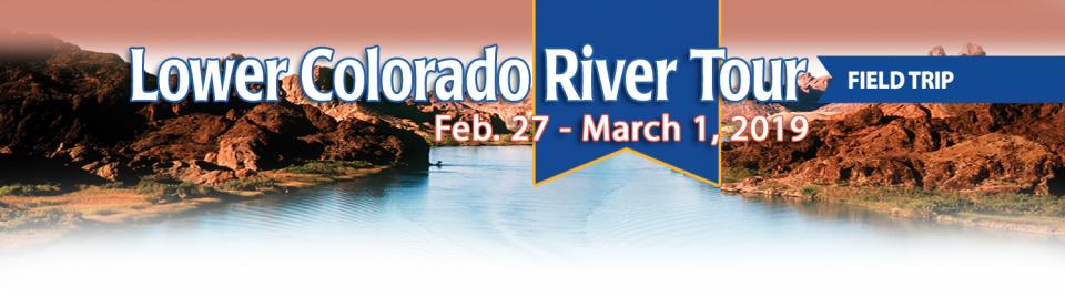
This tour explored the lower Colorado River firsthand where virtually every drop of the river is allocated, yet demand is growing from myriad sources — increasing population, declining habitat, drought and climate change.
The 1,450-mile river is a lifeline to some 40 million people in the Southwest across seven states, 30 tribal nations and Mexico. How the Lower Basin states – Arizona, California and Nevada – use and manage this water to meet agricultural, urban, environmental and industrial needs was the focus of this tour.
Hyatt Place Las Vegas At Silverton Village
8380 Dean Martin Drive
Las Vegas, NV 89139
The lower Colorado River has virtually every drop allocated, yet demand is growing from myriad sources — increasing population, declining habitat, drought and climate change.
The 1,450-mile river is a lifeline to 40 million people in the Southwest across seven states, 30 tribal nations and Mexico. How the Lower Basin states – Arizona, California and Nevada – use and manage this water to meet agricultural, urban, environmental and industrial needs was the focus of this tour.
Hyatt Place Las Vegas At Silverton Village
8380 Dean Martin Drive
Las Vegas, NV 89139
For more than 20 years, Tanya
Trujillo has been immersed in the many challenges of the Colorado
River, the drought-stressed lifeline for 40 million people from
Denver to Los Angeles and the source of irrigation water for more
than 5 million acres of winter lettuce, supermarket melons and
other crops.
Trujillo has experience working in both the Upper and Lower
Basins of the Colorado River, basins that split the river’s water
evenly but are sometimes at odds with each other. She was a
lawyer for the state of New Mexico, one of four states in the
Upper Colorado River Basin, when key operating guidelines for
sharing shortages on the river were negotiated in 2007. She later
worked as executive director for the Colorado River Board of
California, exposing her to the different perspectives and
challenges facing California and the other states in the river’s
Lower Basin.
State work to improve wildlife habitat and tamp down dust at California’s ailing Salton Sea is finally moving forward. Now the sea may be on the verge of getting the vital ingredient needed to supercharge those restoration efforts – money.
The shrinking desert lake has long been a trouble spot beset by rising salinity and unhealthy, lung-irritating dust blowing from its increasingly exposed bed. It shadows discussions of how to address the Colorado River’s two-decade-long drought because of its connection to the system. The lake is a festering health hazard to nearby residents, many of them impoverished, who struggle with elevated asthma risk as dust rises from the sea’s receding shoreline.
Out of sight and out of mind to most
people, the Salton Sea in California’s far southeast corner has
challenged policymakers and local agencies alike to save the
desert lake from becoming a fetid, hyper-saline water body
inhospitable to wildlife and surrounded by clouds of choking
dust.
The sea’s problems stretch beyond its boundaries in Imperial and
Riverside counties and threaten to undermine multistate
management of the Colorado River. A 2019 Drought Contingency Plan for the
Lower Colorado River Basin was briefly stalled when the Imperial
Irrigation District, holding the river’s largest water
allocation, balked at participating in the plan because, the
district said, it ignored the problems of the Salton Sea.
This event explored the lower Colorado River where virtually every drop of the river is allocated, yet demand is growing from myriad sources — increasing population, declining habitat, drought and climate change.
The 1,450-mile river is a lifeline to 40 million people in the Southwest across seven states and Mexico. How the Lower Basin states – Arizona, California and Nevada – use and manage this water to meet agricultural, urban, environmental and industrial needs was the focus of this tour.
Even as stakeholders in the Colorado River Basin celebrate the recent completion of an unprecedented drought plan intended to stave off a crashing Lake Mead, there is little time to rest. An even larger hurdle lies ahead as they prepare to hammer out the next set of rules that could vastly reshape the river’s future.
Set to expire in 2026, the current guidelines for water deliveries and shortage sharing, launched in 2007 amid a multiyear drought, were designed to prevent disputes that could provoke conflict.
One of California Gov. Gavin
Newsom’s first actions after taking office was to appoint Wade
Crowfoot as Natural Resources Agency secretary. Then, within
weeks, the governor laid out an ambitious water agenda that
Crowfoot, 45, is now charged with executing.
That agenda includes the governor’s desire for a “fresh approach”
on water, scaling back the conveyance plan in the Sacramento-San
Joaquin Delta and calling for more water recycling, expanded
floodplains in the Central Valley and more groundwater recharge.
For the bulk of her career, Jayne
Harkins has devoted her energy to issues associated with the
management of the Colorado River, both with the U.S. Bureau of
Reclamation and with the Colorado River Commission of Nevada.
Now her career is taking a different direction. Harkins, 58, was
appointed by President Trump last August to take the helm of the
United States section of the U.S.-Mexico agency that oversees
myriad water matters between the two countries as they seek to
sustainably manage the supply and water quality of the Colorado
River, including its once-thriving Delta in Mexico, and other
rivers the two countries share. She is the first woman to be
named the U.S. Commissioner of the International Boundary and
Water Commission for either the United States or Mexico in the
commission’s 129-year history.
This tour explored the lower Colorado River where virtually every drop of the river is allocated, yet demand is growing from myriad sources — increasing population, declining habitat, drought and climate change.
The 1,450-mile river is a lifeline to 40 million people in the Southwest across seven states and Mexico. How the Lower Basin states – Arizona, California and Nevada – use and manage this water to meet agricultural, urban, environmental and industrial needs is the focus of this tour.
Silverton Hotel
3333 Blue Diamond Road
Las Vegas, NV 89139
There’s going to be a new governor
in California next year – and a host of challenges both old and
new involving the state’s most vital natural resource, water.
So what should be the next governor’s water priorities?
That was one of the questions put to more than 150 participants
during a wrap-up session at the end of the Water Education
Foundation’s Sept. 20 Water Summit in Sacramento.
We explored the lower Colorado River where virtually every drop
of the river is allocated, yet demand is growing from myriad
sources — increasing population, declining habitat, drought and
climate change.
The 1,450-mile river is a lifeline to 40 million people in
the Southwest across seven states and Mexico. How the Lower Basin
states – Arizona, California and Nevada – use and manage this
water to meet agricultural, urban, environmental and industrial
needs was the focus of this tour.
Hampton Inn Tropicana
4975 Dean Martin Drive, Las Vegas, NV 89118
California voters may experience a sense of déjà vu this year when they are asked twice in the same year to consider water bonds — one in June, the other headed to the November ballot.
Both tackle a variety of water issues, from helping disadvantaged communities get clean drinking water to making flood management improvements. But they avoid more controversial proposals, such as new surface storage, and they propose to do some very different things to appeal to different constituencies.
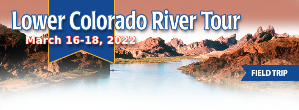
Tickets are now on sale for the Water Education Foundation’s April 11-13 tour of the Lower Colorado River.
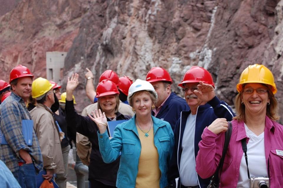
Don’t miss this opportunity to visit key sites along one of the nation’s most famous rivers, including a private tour of Hoover Dam, Central Arizona Project’s Mark Wilmer pumping plant and the Havasu National Wildlife Refuge. The tour also visits the Salton Sea, Slab City, the All-American Canal and farming regions in the Imperial and Coachella valleys.
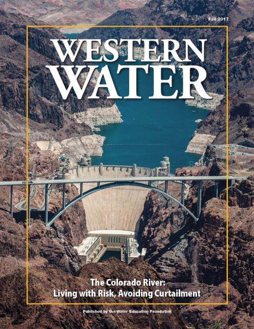
This issue of Western Water discusses the challenges
facing the Colorado River Basin resulting from persistent
drought, climate change and an overallocated river, and how water
managers and others are trying to face the future.
This three-day, two-night tour explored the lower Colorado River
where virtually every drop of the river is allocated, yet demand
is growing from myriad sources — increasing population,
declining habitat, drought and climate change.
The 1,450-mile river is a lifeline to 40 million people in
the Southwest across seven states and Mexico. How the Lower Basin
states – Arizona, California and Nevada – use and manage this
water to meet agricultural, urban, environmental and industrial
needs is the focus of this tour.
Best Western McCarran Inn
4970 Paradise Road
Las Vegas, NV 89119
Scientifically and legislatively, lakes are indistinguishable
from
ponds, but lakes generally are considered to be longer and
deeper lentic, or still, waters. In the 18th and
19th centuries, scientists attempted to distinguish
the two more formally, stating that ponds were shallow enough to
allow sunlight to penetrate to the bottom, but this exists
today as an unofficial point.
Fearing an imminent public health threat, the director of the
University of California, Irvine’s Salton Sea Initiative said the
State Water Resources Control Board should step in and regulate
the rate of water transferred from the Imperial Valley to coastal
California as part of the Quantification Settlement Agreement.
The shallow, briny inland lake at the southeastern edge of
California is slowly evaporating and becoming more saline –
threatening the habitat for fish and birds and worsening air
quality as dust from the dry lakebed is whipped by the constant
winds.
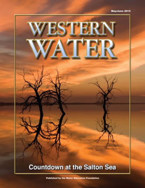
(Read this excerpt from the May/June 2015 issue along with
the editor’s note. Click here to
subscribe to Western Water and get full access.)
This 25-minute documentary-style DVD, developed in partnership
with the California Department of Water Resources, provides an
excellent overview of climate change and how it is already
affecting California. The DVD also explains what scientists
anticipate in the future related to sea level rise and
precipitation/runoff changes and explores the efforts that are
underway to plan and adapt to climate.
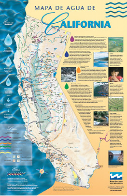
A new look for our most popular product! And it’s the perfect
gift for the water wonk in your life.
Our 24×36-inch California Water Map is widely known for being the
definitive poster that shows the integral role water plays in the
state. On this updated version, it is easier to see California’s
natural waterways and man-made reservoirs and aqueducts
– including federally, state and locally funded
projects – the wild and scenic rivers system, and
natural lakes. The map features beautiful photos of
California’s natural environment, rivers, water projects,
wildlife, and urban and agricultural uses and the
text focuses on key issues: water supply, water use, water
projects, the Delta, wild and scenic rivers and the Colorado
River.
As part of the historic Colorado
River Delta, the Salton Sea regularly filled and dried for
thousands of years due to its elevation of 237 feet below
sea level.
The most recent version of the Salton Sea was formed in 1905 when
the Colorado River broke
through a series of dikes and flooded the seabed for two years,
creating California’s largest inland body of water. The
Salton Sea, which is saltier than the Pacific Ocean, includes 130
miles of shoreline and is larger than Lake Tahoe.
The Pacific Flyway is one of four
major North American migration routes for birds, especially
waterbirds, and stretches from Alaska in the north
to Patagonia in South America.
Each year, birds follow ancestral patterns as they travel the
flyway on their annual north-south migration. Along the way, they
need stopover sites such as wetlands with suitable habitat and
food supplies. In California, 95 percent of historic
wetlands have been lost, yet the Central Valley hosts some of the
world’s largest populations of wintering birds.
The Imperial Valley in the
southeastern corner of California receives the Colorado River
Basin’s single-largest share of water to support much of the
nation’s fruit and vegetable supply and hay for the
cattle and dairy industries.
Water from the Colorado River transformed the sagebrush and
desert sands of the Imperial, Coachella and Palo Verde valleys
into lush, green agricultural fields. The growing season is
year-round, the water plentiful and the local economies are based
almost entirely on farming. As the waters of the Colorado River
allowed the deserts to bloom, they allowed southern California
cities like Los Angeles and San Diego to boom. Suburbs, jobs and
people followed, and the population within the six counties
served by Metropolitan Water District of Southern California
(MWD) grew from 2.8 million in 1930 to more than 17 million
today.


")
")
")
")
")
")
")


 drains to the Salton Sea. Credit: Wikimedia Commons, 2012.")