The San Joaquin River, which helps
drain California’s Central Valley, has been negatively impacted
by construction of dams, inadequate streamflows and poor water
quality. Efforts are now underway to restore the river and
continue providing agricultural lands with vital irrigation,
among other water demands.
After an 18-year lawsuit to restore water flows to a 60-mile dry
stretch of river and to boost the dwindling salmon populations,
the San Joaquin River Restoration Settlement is underway.
Water releases are now used to restore the San Joaquin River and
to provide habitat for naturally-reproducing populations of
self-sustaining Chinook salmon and other fish in the San Joaquin
River. Long-term efforts also include measures to reduce or avoid
adverse water supply impacts from the restoration flows.
Kern River combatants are headed back to court where a local
advocacy group hopes to force the City of Bakersfield to goose
up flows, which were cut to a trickle leaving piles of dead
fish west of Bakersfield. The hearing is set for May 9 at 8:30
a.m. in Division J before Kern County Superior Court Judge
Gregory Pulskamp. “Nobody should be happy with the condition of
the Kern River right now; the people deserve and the law
requires a flowing river, not a couple of stagnant pools with
gasping and cooking fish,” wrote Attorney Adam Keats in an
email. Keats represents Bring Back the Kern and a coalition of
other public interest groups in a lawsuit with Water Audit
California against Bakersfield that seeks to have the city
study how its water diversions impact the environment. The city
owns water rights to the Kern as well as the river bed and six
that it operates in from about Hart Park west to Enos Lane.
After a decade in the works, California is getting a new state
park this summer. Dos Rios Ranch, a 1,600-acre plot west of
Modesto where the San Joaquin and Tuolumne rivers converge, has
long been slated to become the next state park. On Monday, the
Department of Parks and Recreation announced it would open June
12. … Department of Parks and Recreation Director
Armando Quintero has characterized Dos Rios as a needed
public investment in a “a park-poor region.” The site for
Dos Rios was donated by the Chico conservation group River
Partners, which spent $40 million restoring the
area from its previous incarnation as a dairy farm to its
more natural state as a floodplain, a transition that state
leaders have touted as climate-resilient. In Monday’s
announcement, Gov. Gavin Newsom called the Dos Rios restoration
“a key asset to fighting the climate crisis.”
Frustrated with the amount of water dribbling down the western
reach of the Kern River, plaintiffs in an ongoing lawsuit over
the river filed a motion Tuesday asking the judge in the case
to intervene. The motion says the City of Bakersfield has
not maintained flows required to keep fish in good condition,
particularly in the areas of the river from Allen Road
westward. “Fish have died and habitat has dried up and
the Bakersfield community has lost much of the living river
that it had enjoyed for almost all of 2023,” it says. The
motion seeks to compel the city to keep the flow at a specified
level based on water levels where the river enters the city’s
jurisdiction. The city’s water attorney Colin Pearce said
the motion is being reviewed and the city will respond
accordingly.
The governance of San Francisco Bay/Sacramento-San Joaquin
Delta water quality falls under the authority of the State
Water Quality Control Board. Among other duties, the Water
Board is responsible for adopting and updating the Bay-Delta
Water Quality Control Plan for the San Francisco
Bay/Sacramento-San Joaquin Delta Estuary (Bay-Delta
Plan). The Bay-Delta Plan’s purpose sets forth measures
and flow requirements to safeguard various water uses within
the watershed, including municipal, industrial, agricultural,
and ecological needs. Comprising five political appointees with
extensive powers, the Water Board plays a pivotal role in
shaping California’s water management policies. -Written by Cary Keaten, the general manager of
the Solano Irrigation District.
The California Department of Transportation (Caltrans) begins
construction this month to install a trash capture device along
northbound State Route 99, preventing trash in storm water
runoff from entering the Tuolumne River at Zeff Road. The trash
capture system will be located at the inlet of two existing
culverts on the southeast side of SR-99 and the Tuolumne River,
a location identified as a significant trash generating area.
The project will help the department achieve zero trash from
stormwater discharge into the lower reaches of the Tuolumne
River. It is consistent with the Caltrans’ Statewide Trash
Implementation plan and in compliance with the State Water
Resource Control Board water quality objectives for trash
pollutants.
After 12 years of planning, gathering funding then completing
and re-doing – and re-doing again – environmental studies, the
City of Bakersfield has finally gone out to bid for the
northern extension of the Kern River Parkway Trail. “I’m very
excited, it’s been a long time coming,” Councilman Bob Smith
said of the 6-mile long addition to the nearly 40-mile-long
path that runs the length of the Kern River from Gordon’s Ferry
on the east all the way to the Buena Vista Lake Aquatic
Recreation Area on the west. This extension will take runners,
hikers and cyclists north at Coffee Road along the Friant-Kern
Canal up to 7th Standard Road, about a half mile west of the
Gossamer Grove development.
In December 2018 the State Water Resources Control Board (State
Board) adopted updates to the Bay-Delta Plan (Plan) in
accordance with its obligations under the Porter-Cologne Act.
The updated Plan included flow objectives intended to restore
and protect Chinook salmon and Central Valley steelhead in the
lower San Joaquin River and its tributaries. Twelve lawsuits
and 116 claims were filed challenging the State Board’s updated
Plan. On March 15, 2024, Sacramento County Superior Court Judge
Stephen Acquisto rejected all lawsuits and claims. To some
degree the court’s decision is a win for California’s
fisheries, but the decision also affirmed the discretionary
right of the State Board to keep less water in rivers than
needed to restore fisheries and aquatic ecosystems.
The Solano County Water Agency will provide a presentation to
the Fairfield City Council in the wake of the draft Bay-Delta
Water Quality Control Plan that could see water allocations for
Solano County communities from Lake Berryessa cut
significantly. … The State Water Quality Control Board has
noted that diminished [flows in the Sacramento and San Joaquin
river watersheds] are harming fish habitats and are detrimental
to the water system as a whole ecologically.
Fresno’s largest body of water — and likely its most diverse
wildlife habitat — shimmers in silence on a sunny spring
afternoon. … Where we’re at is Milburn Pond, a reclaimed
gravel mining pit that belongs to the San Joaquin River
Ecological Reserve and is managed by the Department of Fish and
Wildlife. … Listed at 287 acres, Milburn Pond is large
enough to be considered a lake. Except for the fact that it’s
not surrounded by land on all sides. … Now, though,
there’s a state-approved proposal to isolate the pond that has
been kicking around since the historic 2006 settlement to
restore river flows and self-sustaining salmon runs. It’s a
plan Moosios and others believe would irreparably harm this
little-known or observed wildlife sanctuary — even though less
destructive and expensive options have been proposed that would
accomplish virtually the same stated purpose. -Written by columnist Marek Warszawski.
… Riparian forest is a rare sight in the Central Valley.
About one million acres of trees, shrubs, and grasses once
flourished, drowned, and flourished again along the valley’s
rivers, creeks, and floodplains; now, perhaps 130,000 acres
remain. In recent years, though, that number has begun to inch
up again. Caswell has about 260 acres. Seven miles south of
there is Dos Rios Ranch—2,100 acres, much of it former dairy
farm and almond orchard, at the extremely floodable confluence
of the Tuolumne and San Joaquin rivers—which is steadily being
restored to riparian forest. Later this year it will open as
California’s first new state park in 15 years.
Though the Delta Conveyance Project was only recently
approved by the Department of Water Resources after completing
the lengthy California Environmental Quality Act (CEQA)
process, the project faces new obstacles to implementation.
Nine lawsuits challenging DWR’s December 21, 2023 approval of
the Project were recently filed in Sacramento County Superior
Court by a total of thirty-three plaintiffs representing all
the Delta counties, the City of Stockton, environmental and
other nongovernmental organizations, and tribe[s]. Resolution
of that litigation could take several years.
Growing up in the shadow of the
Rocky Mountains, Andrew Schwartz never missed an opportunity to
play in – or study – a Colorado snowstorm. During major
blizzards, he would traipse out into the icy wind and heavy
drifts of snow pretending to be a scientist researching in
Antarctica.
Decades later, still armed with an obsession for extreme weather,
Schwartz has landed in one of the snowiest places in the West,
leading a research lab whose mission is to give California water
managers instant information on the depth and quality of snow
draping the slopes of the Sierra Nevada.
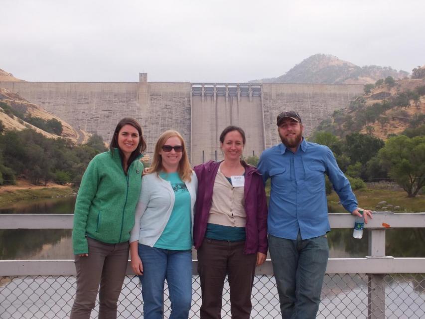
This tour traveled along the San Joaquin River to learn firsthand
about one of the nation’s largest and most expensive river
restoration projects.
The San Joaquin River was the focus of one of the most
contentious legal battles in California water history,
ending in a 2006 settlement between the federal government,
Friant Water Users Authority and a coalition of environmental
groups.
Hampton Inn & Suites Fresno
327 E Fir Ave
Fresno, CA 93720
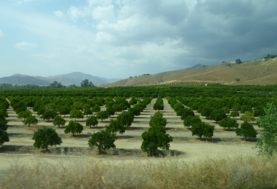
This tour ventured through California’s Central Valley, known as the nation’s breadbasket thanks to an imported supply of surface water and local groundwater. Covering about 20,000 square miles through the heart of the state, the valley provides 25 percent of the nation’s food, including 40 percent of all fruits, nuts and vegetables consumed throughout the country.
Land and waterway managers labored
hard over the course of a century to control California’s unruly
rivers by building dams and levees to slow and contain their
water. Now, farmers, environmentalists and agencies are undoing
some of that work as part of an accelerating campaign to restore
the state’s major floodplains.
Voluntary agreements in California
have been touted as an innovative and flexible way to improve
environmental conditions in the Sacramento-San Joaquin Delta
and the rivers that feed it. The goal is to provide river flows
and habitat for fish while still allowing enough water to be
diverted for farms and cities in a way that satisfies state
regulators.
California is chock full of rivers and creeks, yet the state’s network of stream gauges has significant gaps that limit real-time tracking of how much water is flowing downstream, information that is vital for flood protection, forecasting water supplies and knowing what the future might bring.
That network of stream gauges got a big boost Sept. 30 with the signing of SB 19. Authored by Sen. Bill Dodd (D-Napa), the law requires the state to develop a stream gauge deployment plan, focusing on reactivating existing gauges that have been offline for lack of funding and other reasons. Nearly half of California’s stream gauges are dormant.
One of California Gov. Gavin
Newsom’s first actions after taking office was to appoint Wade
Crowfoot as Natural Resources Agency secretary. Then, within
weeks, the governor laid out an ambitious water agenda that
Crowfoot, 45, is now charged with executing.
That agenda includes the governor’s desire for a “fresh approach”
on water, scaling back the conveyance plan in the Sacramento-San
Joaquin Delta and calling for more water recycling, expanded
floodplains in the Central Valley and more groundwater recharge.
Bruce Babbitt, the former Arizona
governor and secretary of the Interior, has been a thoughtful,
provocative and sometimes forceful voice in some of the most
high-profile water conflicts over the last 40 years, including
groundwater management in Arizona and the reduction of
California’s take of the Colorado River. In 2016, former
California Gov. Jerry Brown named Babbitt as a special adviser to
work on matters relating to the Sacramento-San Joaquin Delta and
the Delta tunnels plan.
The San Joaquin Valley, known as the
nation’s breadbasket, grows a cornucopia of fruits, nuts and
other agricultural products.
During our three-day Central Valley Tour April
3-5, you will meet farmers who will explain how they prepare
the fields, irrigate their crops and harvest the produce that
helps feed the nation and beyond. We also will drive through
hundreds of miles of farmland and visit the rivers, dams,
reservoirs and groundwater wells that provide the water.


")

")
")
 and temperature. This gauge near downtown Sacramento measures water depth. (Source: California Department of Water Resources)")
")
")