The Central Valley is a vital agricultural region that dominates
the center of California, stretching 40-60 miles east to west and
about 450 miles from north to south. It covers 22,500
square miles, about 13.7% of California’s total land area.
Key watersheds are located here: The Sacramento Valley in the
north, San Joaquin Valley and Tulare Basin to the south. In
addition, the Sacramento and San Joaquin rivers drain their
respective valleys and meet to form the Sacramento-San Joaquin
Bay Delta, which flows to the Pacific Ocean via the San Francisco
Bay.
California WaterBlog is a long-running outreach project from
the UC Davis Center for Watershed Sciences, a research center
dedicated to interdisciplinary study of water challenges,
particularly in California. We focus on environmentally and
economically sustainable solutions for managing rivers, lakes,
groundwater, and estuaries. This week, for UC Davis Give Day
(April 19-20) we’re sharing a little about the Center and the
work we do. I’m Karrigan Bork, the Center’s Interim Director,
helping out while Director Andrew Rypel is on sabbatical, and
I’ll be your guide for this brief tour through the “Shed”. If
you would like to donate to help the Center continue important
work, I’ve shared our giving link below.
The California State Water Resources Control Board will hold a
multiday public workshop to discuss voluntary agreements (VAs)
proposed by water users and state and federal agencies. The VAs
proposed are to update the Sacramento River and Delta
components of the Water Quality Control Plan for the San
Francisco Bay/Sacamento-San Joaquin Delta Estuary (Bay-Delta
Plan). The purpose for the planned workshop is for the VA
parties to provide a detailed overview of the VA proposal. It
is also planned to receive input and answer questions from
board members and receive input from the public. The workshop
will take place from April 24 through April 26, 2024. The
schedule for the workshop can be found here.
California’s changing climate brings new challenges each year
for water managers as they navigate extreme shifts from drought
to flood while working to ensure safe, reliable water supplies
for California’s 39 million residents. Water managers address
these challenges in their local watersheds, which are often at
the forefront of the impacts of climate change.
An interdisciplinary team of scientists and researchers from
University of California, Davis, are studying agave plants in
the Golden State as farmers are turning to the crop as a
potential drought-tolerant option of the future. The research
is centered on studying agave genetics, virus susceptibility,
pest control, soil management and crop productivity, said Ron
Runnebaum, a viticulture and enology professor who is leading
the team of researchers at the newly formed UC Davis Agave
Center. … Agave plants don’t require much water and
their hardy leaves are fire resistant. The crop can be used as
a fiber, distilled into spirits or converted into a sweetener.
That combination of traits could offer an alternative to
fallowing fields by switching from thirsty crops to one
requiring less water.
We gathered at Sierra Nevada Brewery on March 8 for our Annual
Meeting, and we continue to cherish the discussions and
insights shared during that event. Among the many highlights of
the gathering was a compelling address by Senator Alex Padilla,
whose remarks resonated deeply with our shared commitment to
safeguarding California’s water resources. Read the excerpt
from Chairman Bryce Lundberg’s introduction and watch Senator
Padilla’s address below.
The Nesting Bird Habitat Incentive Program is still accepting
applications for the Delayed Cereal Grain Harvest and Fallow
Agriculture programs until end of day Wednesday, April 10. If
you have winter planted cereal grains, winter planted cover
crops or farm fields that will be left fallow this growing
season, these programs could be a great fit for your
operations. You must be willing to leave them undisturbed and
or delay harvest until at least July 15th. Below are key
details for each of the program.
Acronyms are so prevalent in the water industry that stringing
several together can form an impressive-sounding
sentence. That’s exactly what Hanford High School junior
Morgan Carroll did at an April 5 workshop in Sacramento called
Water 101 put on by the Water Education
Foundation. After winning a game of bingo no
less. The bingo game kept the audience of water managers and
government and nonprofit employees on its toes during a talk on
what could be a very dry topic, especially after lunch: The
role of regulatory agencies in state and federal water law.
… Part of being on the team is keeping tabs on current
events in the water industry. Students subscribed
to Aquafornia, the foundation’s daily
news summary, and found out about the workshop that way.
Yesterday, Gov. Gavin Newsom surveyed the Sierra snowpack and
outlined a new state water plan focused on climate change.
Scott and KQED climate reporter Ezra David Romero are joined by
California’s former top water regulator Felicia Marcus. As
the state’s top water czar, she navigated severe droughts,
balancing demands for scare water by cities, farms, businesses
and homeowners.
California farmers could save massive amounts of water if they
planted less thirsty — but also less lucrative — crops such as
grains and hay instead of almonds and alfalfa, according to new
research by scientists who used remote sensing and artificial
intelligence. Such a seismic shift in the nation’s most
productive agricultural state could cut consumption by roughly
93%, researchers with UC Santa Barbara and the NASA Jet
Propulsion Laboratory reported Monday. But Anna Boser, the
study’s lead author, acknowledged that replacing all of
California’s water-intensive crops with the least-intensive
ones is an unrealistic economic scenario. … In a
less-extreme scenario, Boser and her colleagues reported that
fallowing 5% of fields with the most water-intensive crops
could cut water consumption by more than 9%, according to
the study, published in the journal Nature Communications.
Efficiently managing agricultural irrigation is vital for food
security today and into the future under climate change. Yet,
evaluating agriculture’s hydrological impacts and strategies to
reduce them remains challenging due to a lack of field-scale
data on crop water consumption. Here, we develop a method to
fill this gap using remote sensing and machine learning, and
leverage it to assess water saving strategies in California’s
Central Valley. We find that switching to lower water intensity
crops can reduce consumption by up to 93%, but this requires
adopting uncommon crop types. … These results reveal diverse
approaches for achieving sustainable water use, emphasizing the
potential of sub-field scale crop water consumption maps to
guide water management in California and beyond.
At least 70 million Americans get their water from a system
where toxic PFAS “forever chemicals” were found at levels that
require reporting to the Environmental Protection Agency.
That’s according to new data the EPA released in its ongoing
5-year review of water systems across the nation. The number
will almost certainly grow as new reports are released every
three months. … Found in drinking water, food,
firefighting foam, and nonstick and water-repellent items, PFAS
resist degradation, building up in both the environment and our
bodies. Salt Lake City; Sacramento,
California; Madison, Wisconsin; and Louisville,
Kentucky, were among the major systems reporting PFAS
contamination to the EPA in the latest data release.
Last winter’s big rain and snow brought immediate benefits to
California’s water supply and data now shows that there are
long-term benefits, too. According to data gathered by
Sacramento’s Regional Water Authority, a surplus of surface
water following the 2022-2023 winter allowed water managers to
use 17% less groundwater compared to 2022. Historically,
groundwater throughout California’s Central Valley had been
severely overdrawn. Over the past 20 years, policy changes and
more nuanced water management have helped groundwater levels
recover.
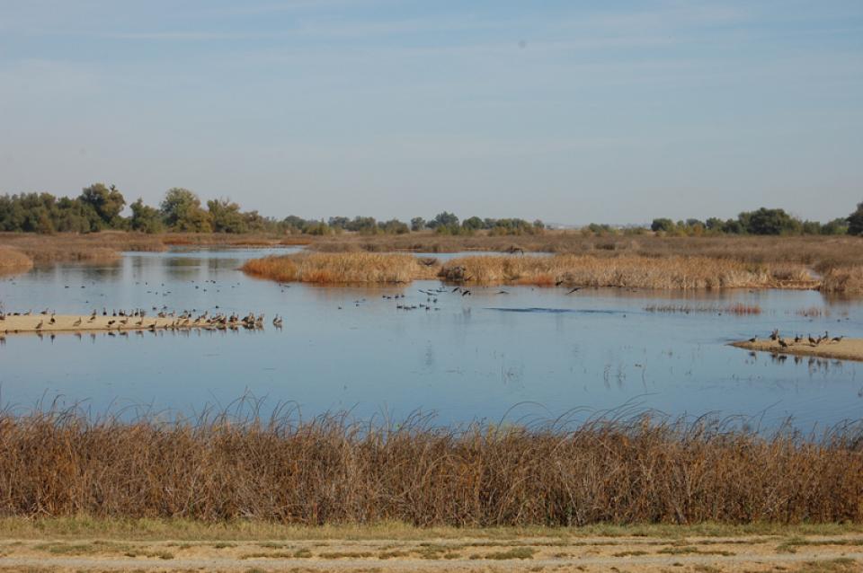
… For millennia seasonal wetlands dotted California’s Central
Valley … But as farms and towns have taken over the
landscape, nearly all those shallow, ephemeral water bodies
have disappeared, leaving avian migrants with scant options for
pit stops. With shorebirds rapidly declining along the Pacific
Flyway, conservationists and landowners have joined forces to
help turn the tide. Launched in
2014, BirdReturns runs via reverse auctions … Since
its inception, the program—jointly run by Audubon California,
The Nature Conservancy, and Point Blue Conservation Science—has
paid more than 100 farmers a total of $2 million to flood
60,000 acres throughout the Sacramento and San Joaquin valleys.
Buoyed by a recent $15 million grant from the state, the
program is poised to greatly expand its reach.
Climate change is driving up the thirst of crops
significantly in California’s San Joaquin Valley, new research
shows, adding to the critical water challenges faced by one of
the world’s leading agricultural regions. The total water
demand of orchards, vineyards and row crops in the area is up
4.4% over the past decade compared with the prior 30 years
because of hotter, drier conditions, and it’s likely to
continue growing, according to a federally funded study
published this week. In 2021, the water demand of crops was up
an astonishing 12.3%, the study shows. While the warming
atmosphere has long been known to dry out plants and soil, the
new research identifies the impact specific to the
San Joaquin Valley.
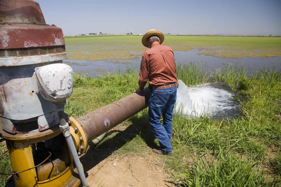
A new underground mapping technology
that reveals the best spots for storing surplus water in
California’s Central Valley is providing a big boost to the
state’s most groundwater-dependent communities.
The maps provided by the California Department of Water Resources
for the first time pinpoint paleo valleys and similar prime
underground storage zones traditionally found with some guesswork
by drilling exploratory wells and other more time-consuming
manual methods. The new maps are drawn from data on the
composition of underlying rock and soil gathered by low-flying
helicopters towing giant magnets.
The unique peeks below ground are saving water agencies’
resources and allowing them to accurately devise ways to capture
water from extreme storms and soak or inject the surplus
underground for use during the next drought.
“Understanding where you’re putting and taking water from really
helps, versus trying to make multimillion-dollar decisions based
on a thumb and which way the wind is blowing,” said Aaron Fukuda,
general manager of the Tulare Irrigation District, an early
adopter of the airborne electromagnetic or
AEM technology in California.
Managers of California’s most
overdrawn aquifers were given a monumental task under the state’s
landmark Sustainable Groundwater Management Act: Craft viable,
detailed plans on a 20-year timeline to bring their beleaguered
basins into balance. It was a task that required more than 250
newly formed local groundwater agencies – many of them in the
drought-stressed San Joaquin Valley – to set up shop, gather
data, hear from the public and collaborate with neighbors on
multiple complex plans, often covering just portions of a
groundwater basin.
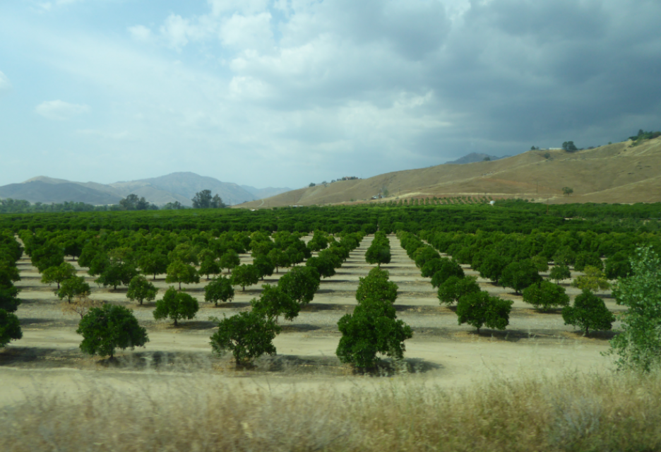
This tour ventured through California’s Central Valley, known as the nation’s breadbasket thanks to an imported supply of surface water and local groundwater. Covering about 20,000 square miles through the heart of the state, the valley provides 25 percent of the nation’s food, including 40 percent of all fruits, nuts and vegetables consumed throughout the country.
Land and waterway managers labored
hard over the course of a century to control California’s unruly
rivers by building dams and levees to slow and contain their
water. Now, farmers, environmentalists and agencies are undoing
some of that work as part of an accelerating campaign to restore
the state’s major floodplains.
Biologists have designed a variety
of unique experiments in the past decade to demonstrate the
benefits that floodplains provide for small fish. Tracking
studies have used acoustic tags to show that chinook salmon
smolts with access to inundated fields are more likely than their
river-bound cohorts to reach the Pacific Ocean. This is because
the richness of floodplains offers a vital buffet of nourishment
on which young salmon can capitalize, supercharging their growth
and leading to bigger, stronger smolts.
A government agency that controls much of California’s water
supply released its initial allocation for 2021, and the
numbers reinforced fears that the state is falling into another
drought. The U.S. Bureau of Reclamation said Tuesday that most
of the water agencies that rely on the Central Valley Project
will get just 5% of their contract supply, a dismally low
number. Although the figure could grow if California gets more
rain and snow, the allocation comes amid fresh weather
forecasts suggesting the dry winter is continuing. The National
Weather Service says the Sacramento Valley will be warm and
windy the next few days, with no rain in the forecast.
The bill is coming due, literally,
to protect and restore groundwater in California.
Local agencies in the most depleted groundwater basins in
California spent months putting together plans to show how they
will achieve balance in about 20 years.
Deep, throaty cadenced calls —
sounding like an off-key bassoon — echo over the grasslands,
farmers’ fields and wetlands starting in late September of each
year. They mark the annual return of sandhill cranes to the
Cosumnes River Preserve,
46,000 acres located 20 miles south of Sacramento on the edge of
the Sacramento-San Joaquin Delta.
Shortly after taking office in 2019,
Gov. Gavin Newsom called on state agencies to deliver a Water
Resilience Portfolio to meet California’s urgent challenges —
unsafe drinking water, flood and drought risks from a changing
climate, severely depleted groundwater aquifers and native fish
populations threatened with extinction.
Within days, he appointed Nancy Vogel, a former journalist and
veteran water communicator, as director of the Governor’s Water
Portfolio Program to help shepherd the monumental task of
compiling all the information necessary for the portfolio. The
three state agencies tasked with preparing the document delivered
the draft Water Resilience Portfolio Jan. 3. The document, which
Vogel said will help guide policy and investment decisions
related to water resilience, is nearing the end of its comment
period, which goes through Friday, Feb. 7.
Innovative efforts to accelerate
restoration of headwater forests and to improve a river for the
benefit of both farmers and fish. Hard-earned lessons for water
agencies from a string of devastating California wildfires.
Efforts to drought-proof a chronically water-short region of
California. And a broad debate surrounding how best to address
persistent challenges facing the Colorado River.
These were among the issues Western Water explored in
2019, and are still worth taking a look at in case you missed
them.
To survive the next drought and meet
the looming demands of the state’s groundwater sustainability
law, California is going to have to put more water back in the
ground. But as other Western states have found, recharging
overpumped aquifers is no easy task.
Successfully recharging aquifers could bring multiple benefits
for farms and wildlife and help restore the vital interconnection
between groundwater and rivers or streams. As local areas around
California draft their groundwater sustainability plans, though,
landowners in the hardest hit regions of the state know they will
have to reduce pumping to address the chronic overdraft in which
millions of acre-feet more are withdrawn than are naturally
recharged.
One of California Gov. Gavin
Newsom’s first actions after taking office was to appoint Wade
Crowfoot as Natural Resources Agency secretary. Then, within
weeks, the governor laid out an ambitious water agenda that
Crowfoot, 45, is now charged with executing.
That agenda includes the governor’s desire for a “fresh approach”
on water, scaling back the conveyance plan in the Sacramento-San
Joaquin Delta and calling for more water recycling, expanded
floodplains in the Central Valley and more groundwater recharge.
Bruce Babbitt, the former Arizona
governor and secretary of the Interior, has been a thoughtful,
provocative and sometimes forceful voice in some of the most
high-profile water conflicts over the last 40 years, including
groundwater management in Arizona and the reduction of
California’s take of the Colorado River. In 2016, former
California Gov. Jerry Brown named Babbitt as a special adviser to
work on matters relating to the Sacramento-San Joaquin Delta and
the Delta tunnels plan.
Groundwater helped make Kern County
the king of California agricultural production, with a $7 billion
annual array of crops that help feed the nation. That success has
come at a price, however. Decades of unchecked groundwater
pumping in the county and elsewhere across the state have left
some aquifers severely depleted. Now, the county’s water managers
have less than a year left to devise a plan that manages and
protects groundwater for the long term, yet ensures that Kern
County’s economy can continue to thrive, even with less water.
The San Joaquin Valley, known as the
nation’s breadbasket, grows a cornucopia of fruits, nuts and
other agricultural products.
During our three-day Central Valley Tour April
3-5, you will meet farmers who will explain how they prepare
the fields, irrigate their crops and harvest the produce that
helps feed the nation and beyond. We also will drive through
hundreds of miles of farmland and visit the rivers, dams,
reservoirs and groundwater wells that provide the water.
The whims of political fate decided
in 2018 that state bond money would not be forthcoming to help
repair the subsidence-damaged parts of Friant-Kern Canal, the
152-mile conduit that conveys water from the San Joaquin River to
farms that fuel a multibillion-dollar agricultural economy along
the east side of the fertile San Joaquin Valley.
There’s going to be a new governor
in California next year – and a host of challenges both old and
new involving the state’s most vital natural resource, water.
So what should be the next governor’s water priorities?
That was one of the questions put to more than 150 participants
during a wrap-up session at the end of the Water Education
Foundation’s Sept. 20 Water Summit in Sacramento.
The Colorado River Basin is more
than likely headed to unprecedented shortage in 2020 that could
force supply cuts to some states, but work is “furiously”
underway to reduce the risk and avert a crisis, Bureau of
Reclamation Commissioner Brenda Burman told an audience of
California water industry people.
During a keynote address at the Water Education Foundation’s
Sept. 20 Water Summit in Sacramento, Burman said there is
opportunity for Colorado River Basin states to control their
destiny, but acknowledged that in water, there are no guarantees
that agreement can be reached.
Farmers in the Central Valley are broiling about California’s plan to increase flows in the Sacramento and San Joaquin river systems to help struggling salmon runs avoid extinction. But in one corner of the fertile breadbasket, River Garden Farms is taking part in some extraordinary efforts to provide the embattled fish with refuge from predators and enough food to eat.
And while there is no direct benefit to one farm’s voluntary actions, the belief is what’s good for the fish is good for the farmers.
More than a decade in the making, an
ambitious plan to deal with the vexing problem of salt and
nitrates in the soils that seep into key groundwater basins of
the Central Valley is moving toward implementation. But its
authors are not who you might expect.
An unusual collaboration of agricultural interests, cities, water
agencies and environmental justice advocates collaborated for
years to find common ground to address a set of problems that
have rendered family wells undrinkable and some soil virtually
unusable for farming.
New water storage is the holy grail
primarily for agricultural interests in California, and in 2014
the door to achieving long-held ambitions opened with the passage
of Proposition
1, which included $2.7 billion for the public benefits
portion of new reservoirs and groundwater storage projects. The
statute stipulated that the money is specifically for the
benefits that a new storage project would offer to the ecosystem,
water quality, flood control, emergency response and recreation.
For more than 100 years, invasive
species have made the Sacramento-San Joaquin Delta their home,
disrupting the ecosystem and costing millions of dollars annually
in remediation.
The latest invader is the nutria, a large rodent native to South
America that causes concern because of its propensity to devour
every bit of vegetation in sight and destabilize levees by
burrowing into them. Wildlife officials are trapping the animal
and trying to learn the extent of its infestation.
Deep, throaty cadenced calls —
sounding like an off-key bassoon — echo over the grasslands,
farmers’ fields and wetlands starting in late September of each
year. They mark the annual return of sandhill cranes to the
Cosumnes River Preserve,
46,000 acres located 20 miles south of Sacramento on the edge of
the Sacramento-San Joaquin Delta.
Along the banks of the
Sacramento-San Joaquin Delta in Oakley, about 50 miles southwest
of Sacramento, is a park that harkens back to the days when the
Delta lured Native Americans, Spanish explorers, French fur
trappers, and later farmers to its abundant wildlife and rich
soil.
That historical Delta was an enormous marsh linked to the two
freshwater rivers entering from the north and south, and tidal
flows coming from the San Francisco Bay. After the Gold Rush,
settlers began building levees and farms, changing the landscape
and altering the habitat.
Despite the heat that often
accompanies debates over setting aside water for the environment,
there are instances where California stakeholders have forged
agreements to provide guaranteed water for fish. Here are two
examples cited by the Public Policy Institute of California in
its report arguing for an environmental water right.
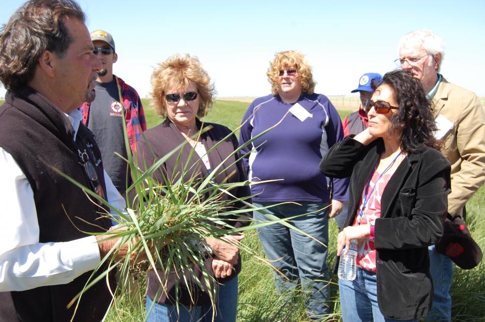
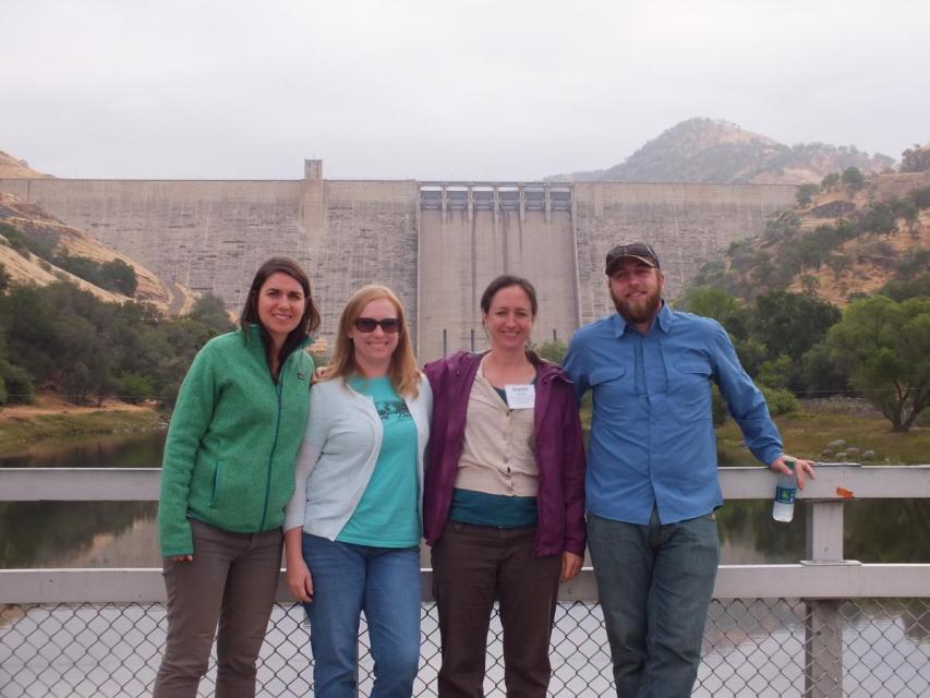
Get a unique view of the San Joaquin Valley’s key dams and
reservoirs that store and transport water on our March Central
Valley Tour.
Our Central Valley
Tour, March 14-16, offers a broad view of water issues
in the San Joaquin Valley. In addition to the farms, orchards,
critical habitat for threatened bird populations, flood bypasses
and a national wildlife refuge, we visit some of California’s
major water infrastructure projects.
The 2-day, 1-night tour traveled along the river from Friant
Dam near Fresno to the confluence of the Merced River. As it
weaved across an historic farming region, participants learn
about the status of the river’s restoration and how the
challenges of the plan are being worked out.
Our tours are famous for not only being packed with diverse
educational opportunities about California water, but showcasing
local culture. Our Central Valley Tour on March
8-10 lets you unwind at a few San Joaquin Valley treasures and
hear stories that go back generations.
Our water tours give a behind-the-scenes look at major water
issues in California. On our Central Valley Tour, March
8-10, you will visit wildlife habitat areas – some of which are
closed to the public – and learn directly from the experts who
manage them, in addition to seeing farms, large dams and other
infrastructure.
The recent deluge has led to changes in drought conditions in
some areas of California and even public scrutiny of the
possibility that the drought is over. Many eyes are focused on
the San Joaquin Valley, one of the areas hardest hit by reduced
surface water supplies. On our Central Valley Tour, March
8-10, we will visit key water delivery and storage sites in the
San Joaquin Valley, including Friant Dam and Millerton Lake
on the San Joaquin River.
The San Joaquin Valley has been hit hard by the six-year drought
and related surface water cutbacks. Some land has been fallowed
and groundwater pumping has increased. What does this year hold?
Will these recent heavy storms provide enough surface water for
improved water deliveries?
Your best opportunity to see and understand this vital
agricultural region of California is to join us on our annual
Central Valley Tour,
March 8-10.
ARkStorm stands for an atmospheric
river (“AR”) that carries precipitation levels expected to occur
once every 1,000 years (“k”). The concept was presented in a 2011
report by the U.S. Geological Survey (USGS) intended to elevate
the visibility of the very real threats to human life, property
and ecosystems posed by extreme storms on the West Coast.
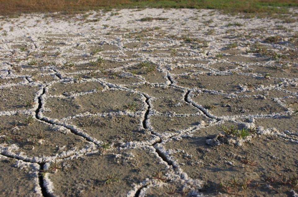
Excess salinity poses a growing
threat to food production, drinking water quality and public
health. Salts increase the cost of urban drinking water and
wastewater treatment, which are paid for by residents and
businesses. Increasing salinity is likely the largest long-term
chronic water quality impairment to surface and groundwater in California’s Central
Valley.
A new era of groundwater management
began in 2014 with the passage of the Sustainable Groundwater
Management Act (SGMA), which aims for local and regional agencies
to develop and implement sustainable groundwater management
plans with the state as the backstop.
SGMA defines “sustainable groundwater management” as the
“management and use of groundwater in a manner that can be
maintained during the planning and implementation horizon without
causing undesirable results.”
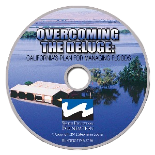
This 30-minute documentary, produced in 2011, explores the past,
present and future of flood management in California’s Central
Valley. It features stories from residents who have experienced
the devastating effects of a California flood firsthand.
Interviews with long-time Central Valley water experts from
California Department of Water Resources (FloodSAFE), U.S. Army
Corps of Engineers, Bureau of Reclamation, Central Valley Flood
Management Program and environmental groups are featured as they
discuss current efforts to improve the state’s 150-year old flood
protection system and develop a sustainable, integrated, holistic
flood management plan for the Central Valley.
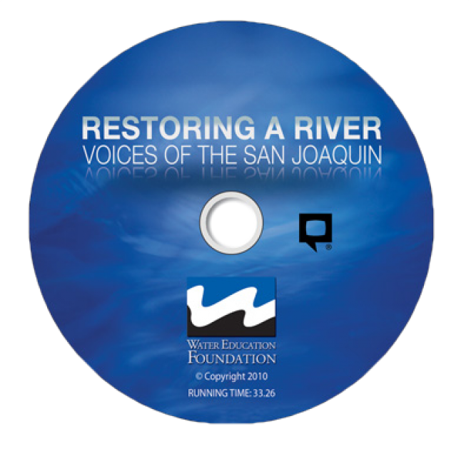
This 30-minute documentary-style DVD on the history and current
state of the San Joaquin River Restoration Program includes an
overview of the geography and history of the river, historical
and current water delivery and uses, the genesis and timeline of
the 1988 lawsuit, how the settlement was reached and what was
agreed to.
This 25-minute documentary-style DVD, developed in partnership
with the California Department of Water Resources, provides an
excellent overview of climate change and how it is already
affecting California. The DVD also explains what scientists
anticipate in the future related to sea level rise and
precipitation/runoff changes and explores the efforts that are
underway to plan and adapt to climate.
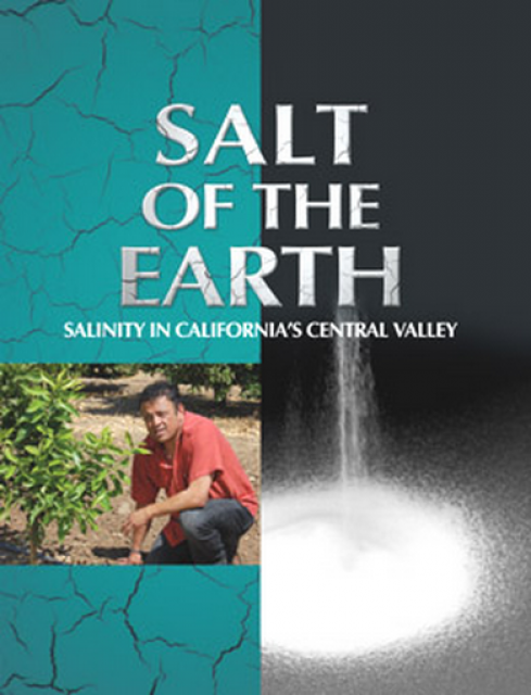
Salt. In a small amount, it’s a gift from nature. But any doctor
will tell you, if you take in too much salt, you’ll start to have
health problems. The same negative effect is happening to land in
the Central Valley. The problem scientists call “salinity” poses
a growing threat to our food supply, our drinking water quality
and our way of life. The problem of salt buildup and potential –
but costly – solutions are highlighted in this 2008 public
television documentary narrated by comedian Paul Rodriguez.
A 20-minute version of the 2008 public television documentary
Salt of the Earth: Salinity in California’s Central Valley. This
DVD is ideal for showing at community forums and speaking
engagements to help the public understand the complex issues
surrounding the problem of salt build up in the Central Valley
potential – but costly – solutions. Narrated by comedian Paul
Rodriquez.
This 3-day, 2-night tour travels the length of the San Joaquin
Valley, giving participants a clear understanding of the State
Water Project and Central Valley Project.
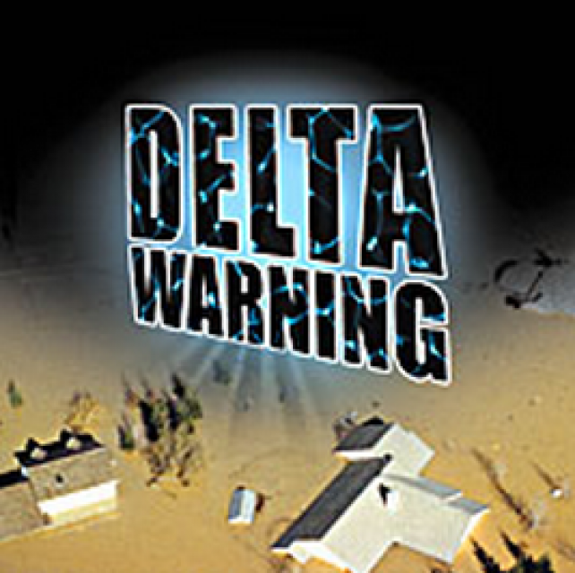
15-minute DVD that graphically portrays the potential disaster
should a major earthquake hit the Sacramento-San Joaquin Delta.
“Delta Warning” depicts what would happen in the event of an
earthquake registering 6.5 on the Richter scale: 30 levee breaks,
16 flooded islands and a 300 billion gallon intrusion of salt
water from the Bay – the “big gulp” – which would shut down the
State Water Project and Central Valley Project pumping plants.
30-minute DVD that traces the history of the U.S. Bureau of
Reclamation and its role in the development of the West. Includes
extensive historic footage of farming and the construction of
dams and other water projects, and discusses historic and modern
day issues.
Water truly has shaped California into the great state it is
today. And if it is water that made California great, it’s the
fight over – and with – water that also makes it so critically
important. In efforts to remap California’s circulatory system,
there have been some critical events that had a profound impact
on California’s water history. These turning points not only
forced a re-evaluation of water, but continue to impact the lives
of every Californian. This 2005 PBS documentary offers a
historical and current look at the major water issues that shaped
the state we know today. Includes a 12-page viewer’s guide with
background information, historic timeline and a teacher’s lesson.
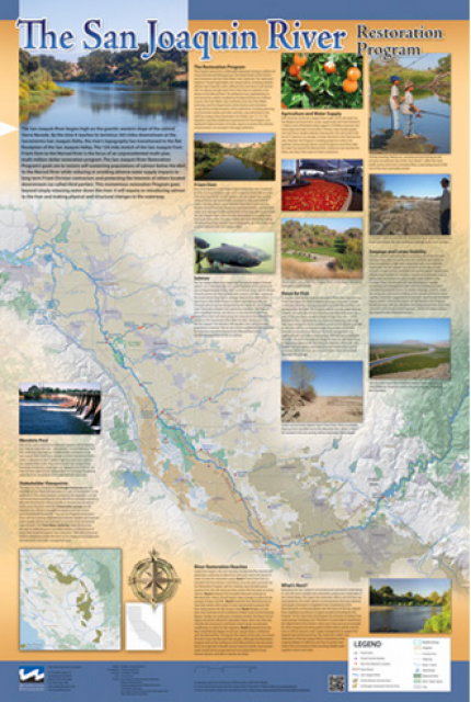
This beautiful 24×36 inch poster, suitable for framing, features
a map of the San Joaquin River. The map text focuses on the San
Joaquin River Restoration Program, which aims to restore flows
and populations of Chinook salmon to the river below Friant Dam
to its confluence with the Merced River. The text discusses the
history of the program, its goals and ongoing challenges with
implementation.
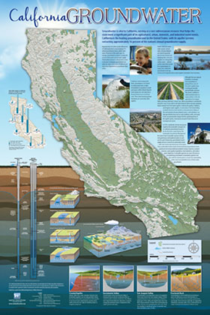
Fashioned after the popular California Water Map, this 24×36 inch
poster was extensively re-designed in 2017 to better illustrate
the value and use of groundwater in California, the main types of
aquifers, and the connection between groundwater and surface
water.
The 24-page Layperson’s Guide to the State Water Project provides
an overview of the California-funded and constructed State Water
Project.
The State Water Project is best known for the 444-mile-long
aqueduct that provides water from the Delta to San Joaquin Valley
agriculture and southern California cities. The guide contains
information about the project’s history and facilities.
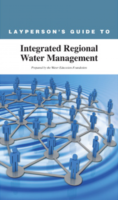
The 24-page Layperson’s Guide to Integrated Regional Water
Management (IRWM) is an in-depth, easy-to-understand publication
that provides background information on the principles of IRWM,
its funding history and how it differs from the traditional water
management approach.
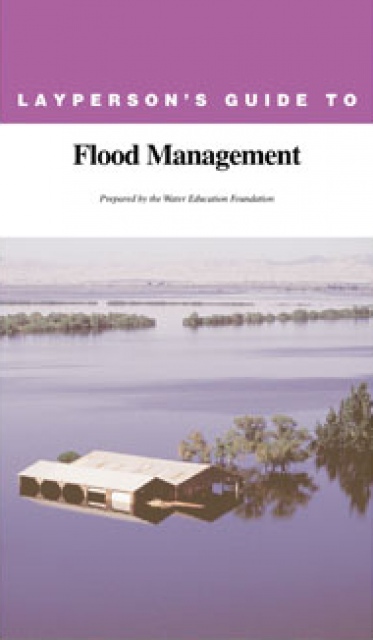
The 24-page Layperson’s Guide to Flood Management explains the
physical flood control system, including levees; discusses
previous flood events (including the 1997 flooding); explores
issues of floodplain management and development; provides an
overview of flood forecasting; and outlines ongoing flood control
projects.
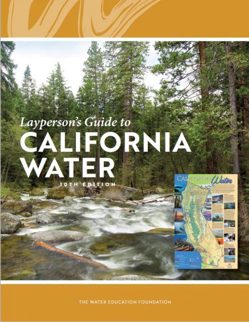
The 24-page Layperson’s Guide to California Water provides an
excellent overview of the history of water development and use in
California. It includes sections on flood management; the state,
federal and Colorado River delivery systems; Delta issues; water
rights; environmental issues; water quality; and options for
stretching the water supply such as water marketing and
conjunctive use. New in this 10th edition of the guide is a
section on the human need for water.
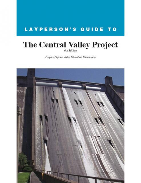
The 24-page Layperson’s Guide to the Central Valley Project
explores the history and development of the federal Central
Valley Project (CVP), California’s largest surface water delivery
system. In addition to the project’s history, the guide describes
the various CVP facilities, CVP operations, the benefits the CVP
brought to the state and the CVP Improvement Act (CVPIA).
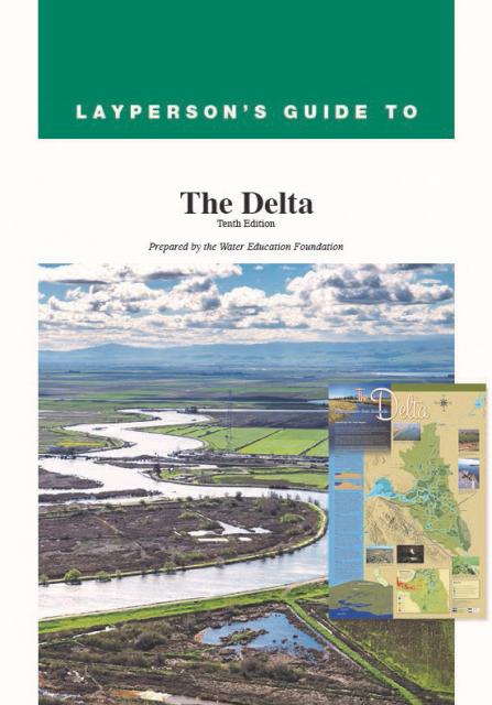
The 24-page Layperson’s Guide to the Delta explores the competing
uses and demands on California’s Sacramento-San Joaquin Delta.
Included in the guide are sections on the history of the Delta,
its role in the state’s water system, and its many complex issues
with sections on water quality, levees, salinity and agricultural
drainage, fish and wildlife, and water distribution.
A new look for our most popular product! And it’s the perfect
gift for the water wonk in your life.
Our 24×36 inch California Water Map is widely known for being the
definitive poster that shows the integral role water plays in the
state. On this updated version, it is easier to see California’s
natural waterways and man-made reservoirs and aqueducts
– including federally, state and locally funded
projects – the wild and scenic rivers system, and
natural lakes. The map features beautiful photos of
California’s natural environment, rivers, water projects,
wildlife, and urban and agricultural uses and the
text focuses on key issues: water supply, water use, water
projects, the Delta, wild and scenic rivers and the Colorado
River.
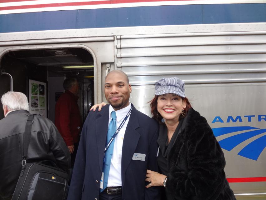
Travel across the state on Amtrak’s famed California
Zephyr, from the edge of sparkling San Francisco Bay,
through the meandering channels of the Delta, past rich Central
Valley farmland, growing cities, historic mining areas and into
the Sierra Nevada mountain range.
With the dual threats of obsolete levees and anticipated rising sea levels,
floodplains—low
areas adjacent to waterways that flood during wet years—are
increasingly at the forefront of many public policy and water
issues in California.
Adding to the challenges, many floodplains have been heavily
developed and are home to major cities such as Sacramento. Large
parts of California’s valleys are historic floodplains as well.
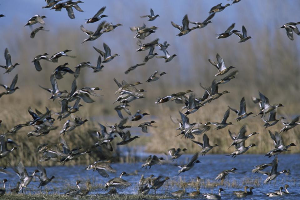
The Pacific Flyway is one of four
major North American migration routes for birds, especially
waterfowl, and extends from Alaska and Canada, through
California, to Mexico and South America. Each year, birds follow
ancestral patterns as they travel the flyway on their annual
north-south migration. Along the way, they need stopover sites
such as wetlands with suitable habitat and food supplies. In
California, 90 percent of historic wetlands have been lost.
The Mendota Pool, located at the confluence of the
San Joaquin River and Kings River in California’s Central
Valley, is the terminus of a long journey for water from the
Sacramento River.
After being diverted, the Sacramento River water heads south from
the Sacramento
San Joaquin Delta via the 117-mile long Delta-Mendota Canal.
Environmental concerns have closely followed California’s
development of water resources since its earliest days as a
state.
Early miners harnessed water to dislodge gold through hydraulic
mining. Debris resulting from these mining practices washed down
in rivers and streams, choking them and harming aquatic life and
causing flooding.
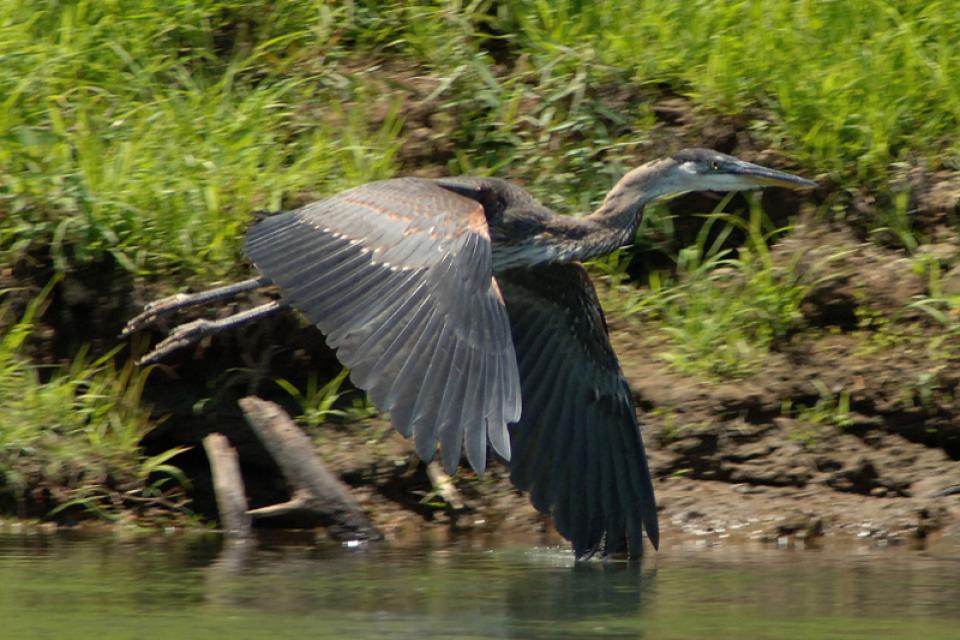
In the Central Valley, wetlands—partly or seasonally saturated
land that supports aquatic life and distinct ecosystems— provide
critical habitat for a variety of wildlife.
This issue of Western Water looks at the BDCP and the
Coalition to Support Delta Projects, issues that are aimed at
improving the health and safety of the Delta while solidifying
California’s long-term water supply reliability.
This printed issue of Western Water features a
roundtable discussion with Anthony Saracino, a water resources
consultant; Martha Davis, executive manager of policy development
with the Inland Empire Utilities Agency and senior policy advisor
to the Delta Stewardship Council; Stuart Leavenworth, editorial
page editor of The Sacramento Bee and Ellen Hanak, co-director of
research and senior fellow at the Public Policy Institute of
California.
This printed issue of Western Water looks at hydraulic
fracturing, or “fracking,” in California. Much of the information
in the article was presented at a conference hosted by the
Groundwater Resources Association of California.
This printed copy of Western Water examines the challenges facing
small water systems, including drought preparedness, limited
operating expenses and the hurdles of complying with costlier
regulations. Much of the article is based on presentations at the
November 2007 Small Systems Conference sponsored by the Water
Education Foundation and the California Department of Water
Resources.
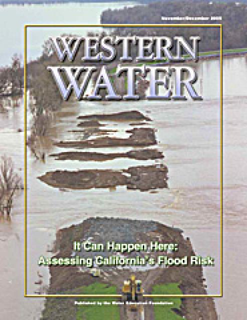
This issue of Western Water examines the extent to
which California faces a disaster equal to or greater than the
New Orleans floods and the steps being taken to recognize and
address the shortcomings of the flood control system in the
Central Valley and the Delta, which is of critical importance
because of its role in providing water to 22 million people.
Complicating matters are the state’s skyrocketing pace of growth
coupled with an inherently difficult process of obtaining secure,
long-term funds for levee repairs and continued maintenance.
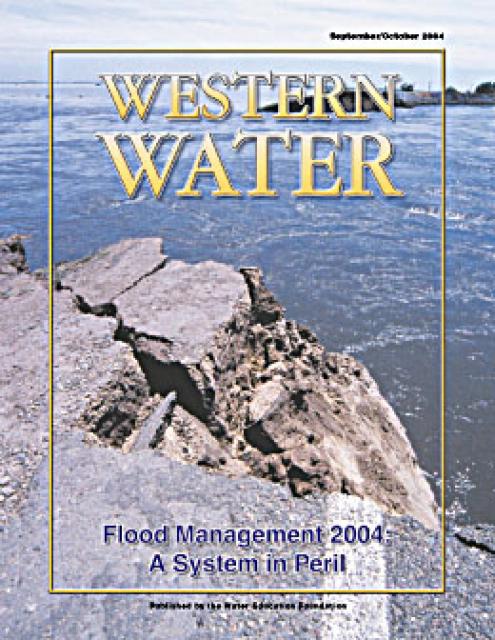
This issue of Western Water analyzes northern California’s
extensive flood control system – it’ history, current concerns,
the Paterno decision and how experts are re-thinking the concept
of flood management.


")
")
")

")
")
")
")
")
")
")
")
")
")
")
")
")
")