Colorado River Basin Map
Redesigned in 2017
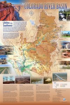
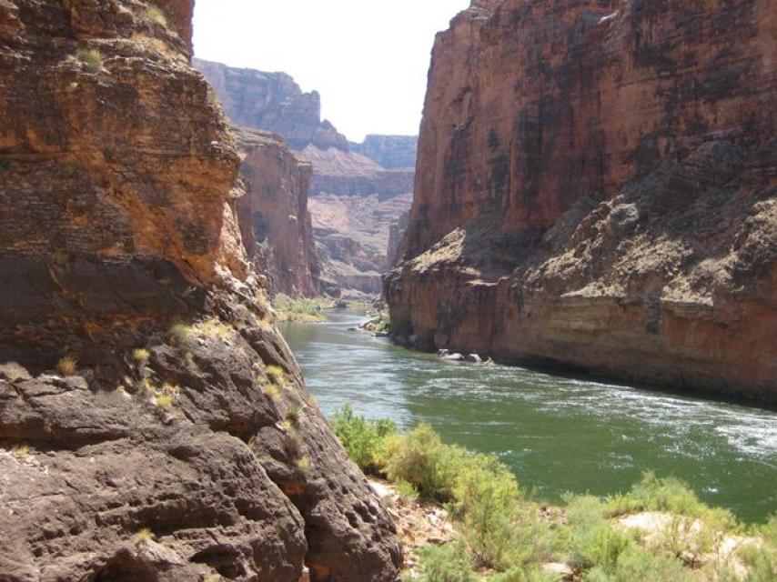
Redesigned in 2017, this beautiful map depicts the seven Western states that share the Colorado River with Mexico. The Colorado River supplies water to nearly 40 million people in Arizona, California, Colorado, Nevada, New Mexico, Utah, Wyoming and Mexico. Text on this beautiful, 24×36-inch map, which is suitable for framing, explains the river’s apportionment, history and the need to adapt its management for urban growth and expected climate change impacts.
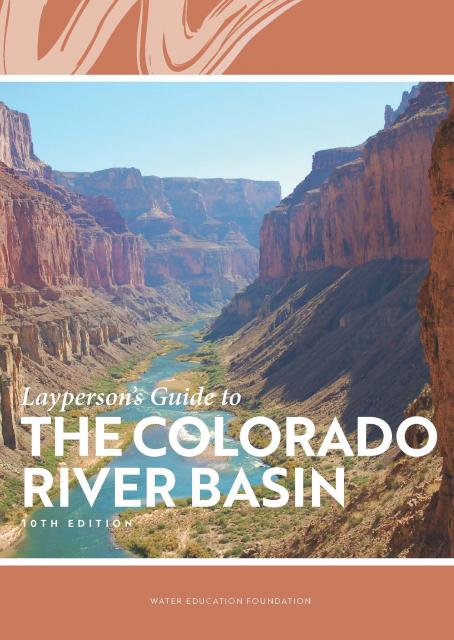
The map features rivers, dams, water projects, major cities, Indian reservations, irrigated areas, basin boundaries, and national parks and monuments. The Colorado River Basin Map is complemented by our Layperson’s Guide to the Colorado River Basin, which describes the river’s history, the division of its water and current issues. You can get a discount on the map and guide when you buy the Colorado River bundle.
For bulk orders at a discounted price, email Kayla Sergent.


")
")
")
")
")
")
")

")
")
")
")
")
")
")
")

")
")
")

")


")